-
Posts
6,466 -
Joined
-
Last visited
Content Type
Profiles
Blogs
Forums
American Weather
Media Demo
Store
Gallery
Everything posted by strongwxnc
-
Yup. We may be heading up after lunch sometime. Was thinking linville over to banner elk. .
-
Good luck boys! .
-
Awesome man! I would agree with ya. .
-
Congrats on the surprise boys! I’m just to the SE of a snow indicated radar .
-
Nice! Straight rain here
-
Wax on wax off... .
-
.83 total for the event Dusting that was gone by mid afternoon yesterday. 41 now under clear skies .
-
Got up to 50 today. Did go for a run on someone’s else’s property with a view looking west ! This was around 1’600’ .
-
Seems to be more seasonal than anything. .
-
Thanks for posting! I was wondering how your area went yesterday.
-
Awesome man! Enjoy and keep those pics coming! .
-
It sucks but after about 20 years of hustling on each and every winter system for MBY, I’ve finally learn to take the lowest amount shown and expect that it will rain in the end.. lol Enjoy the ride and drink up .
-
Congrats on those getting in on the action this afternoon! Cheers to you all! 38.9 here Brown grass as all the snow that fall is gone now! .
-
Thats my next albums name
-
Dirty slop . .
-
Some good rate under these bands. Right above 32 at 33.6 so if melting on the roads. Big flakes though! .
-
Some models were showing the spotty nature of these bands. That initial band last night was great but could not cash in as the temps took longer to crash as it hit.
-
That’s the spirt Jason! .
-
Mod snow now at 33.2. Went out to feed out horses and it sure is wet around. You can see the radar building into the western side of my county .
-
-
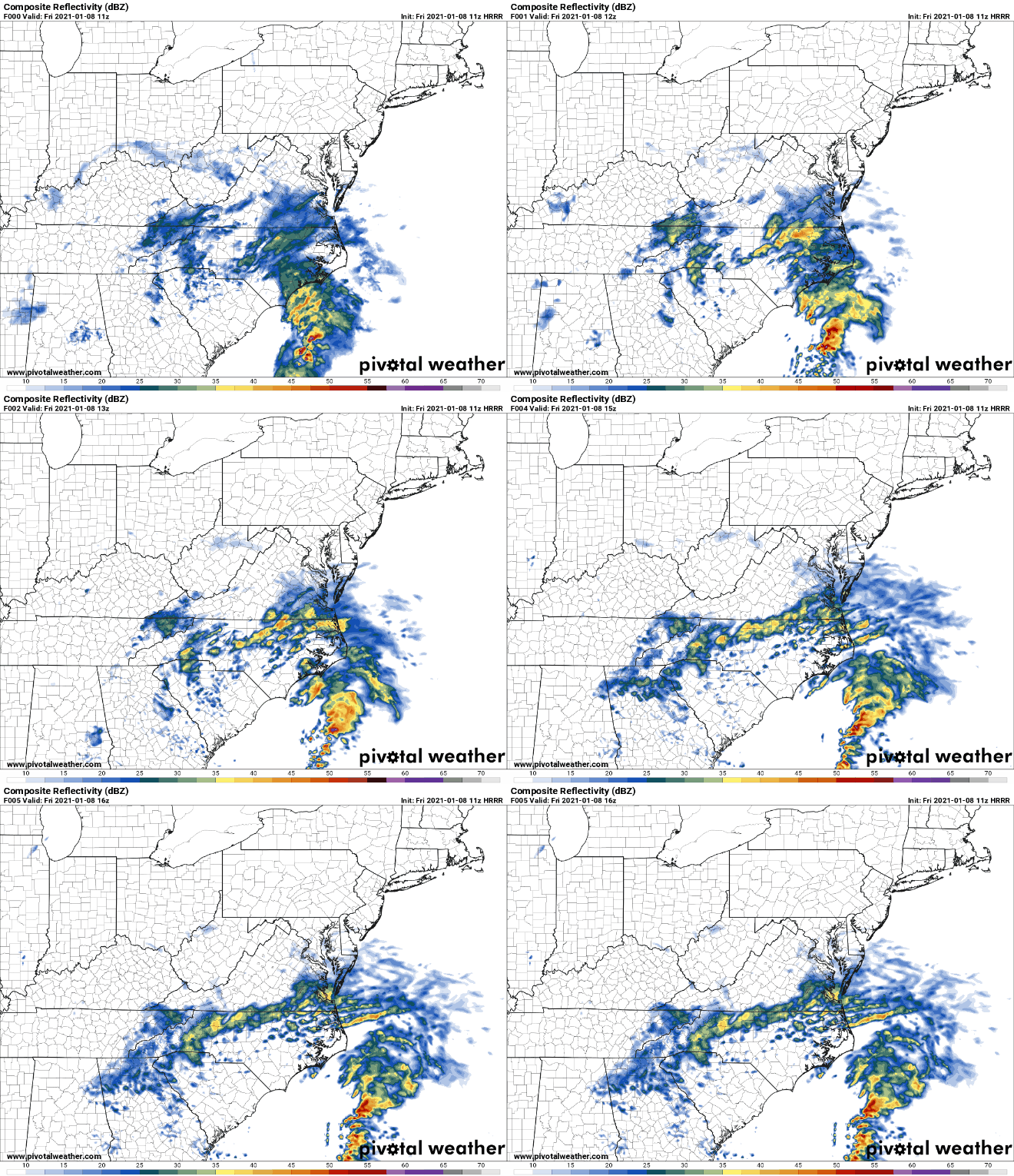
HRRR seems to like this area as the ULL starts to pivot. Maybe picking up 1-2" today as it swings trough.
-
Im at .23" as a total so far. would have been great with supportive temps. But Ill take a dusting anytime
-
Sold dusting here = a win! Hoping to get snow for the rest of the morning as the ULL swings in. Picked up .23" last night most of which was not frozen. Temp struggled at 35 but sitting a 32 now with light to mod snow.
-
Solid dusting! Come down good now! .
-
Nice! Crashing for a few hours in hopes to cash in later on. .


