

weatherwiz
-
Posts
71,228 -
Joined
-
Last visited
Content Type
Profiles
Blogs
Forums
American Weather
Media Demo
Store
Gallery
Posts posted by weatherwiz
-
-
2 minutes ago, The 4 Seasons said:
Thanks...guess only BOX does it around here. Was hoping Albany did one of these too
-
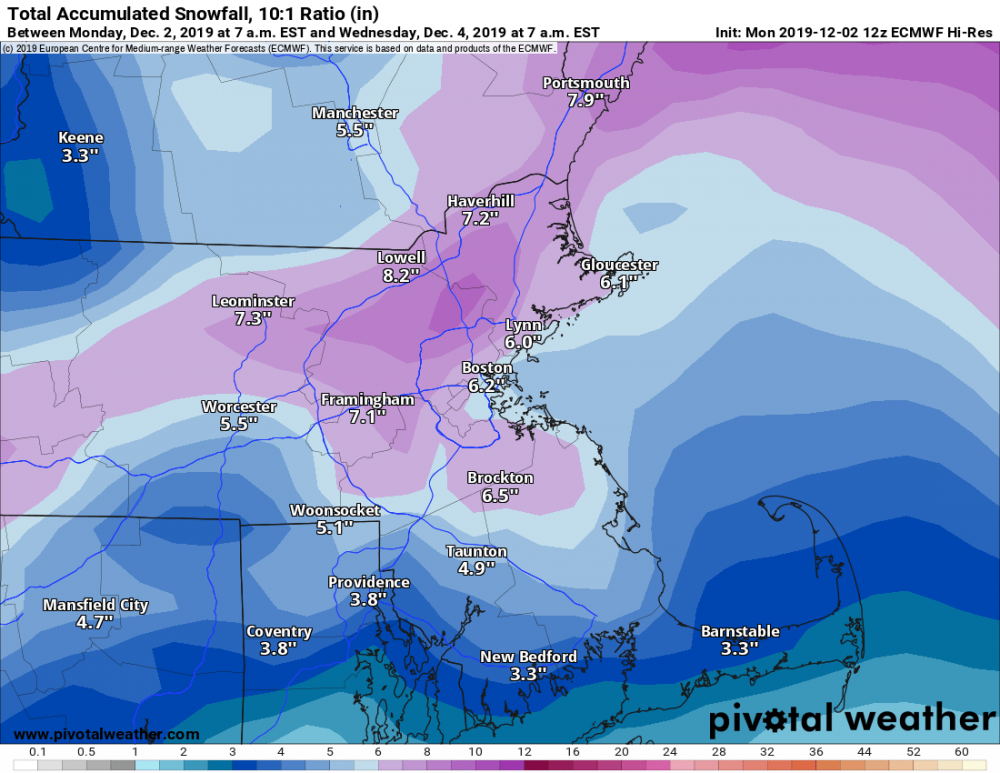
Does anyone know where the NWS posts storm totals on a map. There is the map which shows LSR reports but I know I've seen a map posted which sort of shows totals...in a similar format they use when issuing snow maps
-
Woah...this legit happened in the past like 15 min in Branford...it was snowing lightly earlier but now it’s all coated

-
850 fronto

700 fronto
can see where heavy snow will setup and pivot over. Looks like several inches for a good part of CT coming up

-
 3
3
-
-
There are 135 more 12z runs of the GFS to go before the GFS gets into the range of May 1st
-
 1
1
-
 1
1
-
 1
1
-
-
Going to stay in Branford again tonight. Don't feel like dealing with any ice/snow in the AM. Plus...my ice scraper thing is completely buried in my trunk. Besides...I kinda love the 2-minute commute to work as opposed to an hour
-
Just now, CT Rain said:
Man I still can't figure out this evening/tonight here. I'm thinking additional 1-3" with maybe 3-5" NW CT where modeling has a nice little max?
That's exactly what I'm thinking. Perhaps a second little max in NE CT
-
3 minutes ago, Damage In Tolland said:
How’s the Rap ?
Dead
-
Looks like we could see some snow squalls Wednesday.
-
Just now, dryslot said:
My interest is where it closes off before it starts to pivot, That happens later.
That is huge and the biggest question. Seems like this may happen in just enough time to produce the good in E MA up through coastal ME
-
10 minutes ago, USCAPEWEATHERAF said:
Great analysis Wiz, what are you thinking for the Cape area? I think the Outer Cape from HYA to Provincetown will likely see 4", but I am confident we could see up to 10" in spots, especially on the outer arm.
I could certainly potential for 4-8'' on the Cape if this thing materializes. Should it materialize there is going to be some serious lift to work with.
9 minutes ago, dryslot said:I have had the SPC site open all morning, I want to see where the H5 low tracks from there will have a good idea where H7 is going to be plus H85..............
Yeah...what makes it difficult now is it is still rather broad
9 minutes ago, RUNNAWAYICEBERG said:Great analysis Wiz. What are you thinking for Southbury CT USA?
Accidents all over 84
-
1
-
-
7 minutes ago, dryslot said:
Not as far to west a some of the other guidance has it.
At this point though we can probably put the models on the back burner and just focus on mesoanalysis. The models are hinting extremely well at what will transpire...just some differences into where those results are
You can see where the 850 fronto is beginning to develop and how this will probably orientate and eventually pivot:

Now 700 will probably start becoming further developed as the system strengthens but you can also start to see where this will be

There are some pretty dang steep mlvl lapse rates too with the H5 low and some pockets of instability so convective elements and convection should continue to fire off the coast...something that's also going to play a big roll.
Also setting up some great sfc fronto. Once we have all this fronto aligned we'll see a sick band transpire

-
4
-
1
-
-
56 minutes ago, dryslot said:
Its limited, But i can see H5

I like how I don't have to break my neck to see this!
31 minutes ago, Baroclinic Zone said:This is for @weatherwiz

The torture

-
1 minute ago, dryslot said:
Its not on Weathermodels.com
Nope...only limited products available. Oh well.
Could maybe shoot him a tweet and ask (or recommend) if new products will be coming. From what I've heard he's pretty open to suggestions.
-
3 minutes ago, dryslot said:
I don't have it, And there upper level charts are no very available so all you have is a surface or precip map to go by.
I'll see if it's on Ryan Maue's site. Hopefully I won't break my neck

-
1
-
-
3 minutes ago, USCAPEWEATHERAF said:
What location? Chatham?
Cape has potential
1 minute ago, WxWatcher007 said:Wiz, what are you thinking for places here in CT. We’ve seen a pretty nice period of snow here in central CT. Think that fades as NY gets smoked later this afternoon before we get CCB scraps overnight?
Yeah we'll continue to see some periods of snow through the day with varying intensity. I also think much of the state (particularly central and eastern) will get a bust of some pretty heavy snow tonight...unfortunately it's on the brief side so accumulations will be kept at a minimum...maybe 1-3'' with a few lucky spots/slant stickers picking up 4''
I'll try to find a Ukie 700vv map
-
1
-
-
Let's do something besides snow maps...
12z runs continuing to indicate potential for a pretty hefty band to rapidly develop and traverse the region...and maxing across extreme eastern MA and the Cape.

Also some definite potential for thunder/lightning

-
3
-
1
-
-
It’s snowing in Branford
-
It's going to be pretty close tonight. The mlvls look good enough that there should be a decent band that develops...only problem is it may be rather narrow and I think it's going to be a race between that becoming established and occlusion happening. I think CT is kinda screwed with round 2...maybe NW corner (shocker) gets into some of the goods with banding that develops eastern NY into N NJ
-
Just now, tavwtby said:
my wife said she heard something... must have been to busy yelling at the kids... wish I could have seen a flash or heard.
Sometimes it's tough to pick up.
I remember growing up I used to think I would hear thundersnow and I would run around and go outside...only to find out it was the plow

-
1
-
-
Just now, tavwtby said:
where??? I've heard nothing
Very close to you

-
1
-
-
8 minutes ago, CoastalWx said:
TSSN NW CT
I thought we would see some with this!!!! hahahaha
-
5 minutes ago, WxWatcher007 said:
Anyone near Torrington? Radar looks good there but I want to make sure it's not sleet lol.
Friend of mine lives in New Hartford and it's snow there.
As snow lightened up here in Branford I am hearing some pings.
I'll be walking outside soon to grab beer/pizza for Bruins/Pats so hopefully we're back to snow. Hate pinging on the face
-
1
-
-
Huge flakes in Branford...everything coated up


Happy Birthday Old Man Winter storm obs
in New England
Posted
They actually have it in their PDF thing!