BG_Slick
-
Posts
195 -
Joined
-
Last visited
Content Type
Profiles
Blogs
Forums
American Weather
Media Demo
Store
Gallery
Everything posted by BG_Slick
-
Winter Storm Izzy Obs Thread
BG_Slick replied to Prismshine Productions's topic in Southeastern States
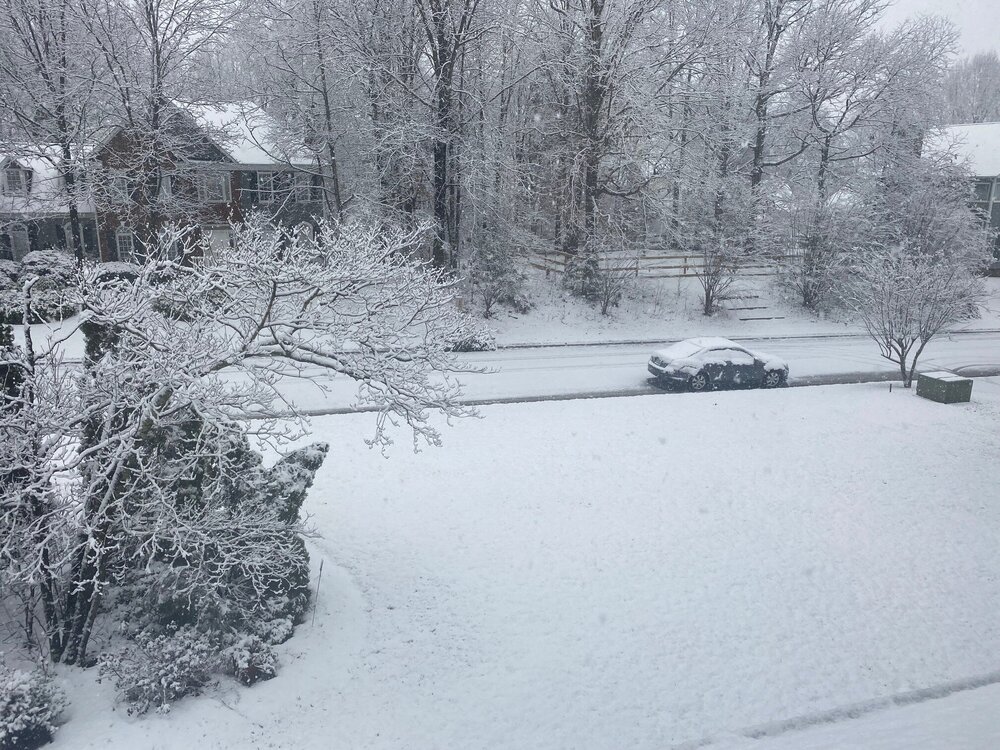
Has been sleeting since 9:30 am and looks like maybe 2.5 to 3 inches of snow and sleet. 22 degrees and winds are picking up. NE at 20 mph and quite gusty at times. Have had no noticeable freezing rain in this area so hoping for the best with the power! -
Winter Storm Izzy Obs Thread
BG_Slick replied to Prismshine Productions's topic in Southeastern States
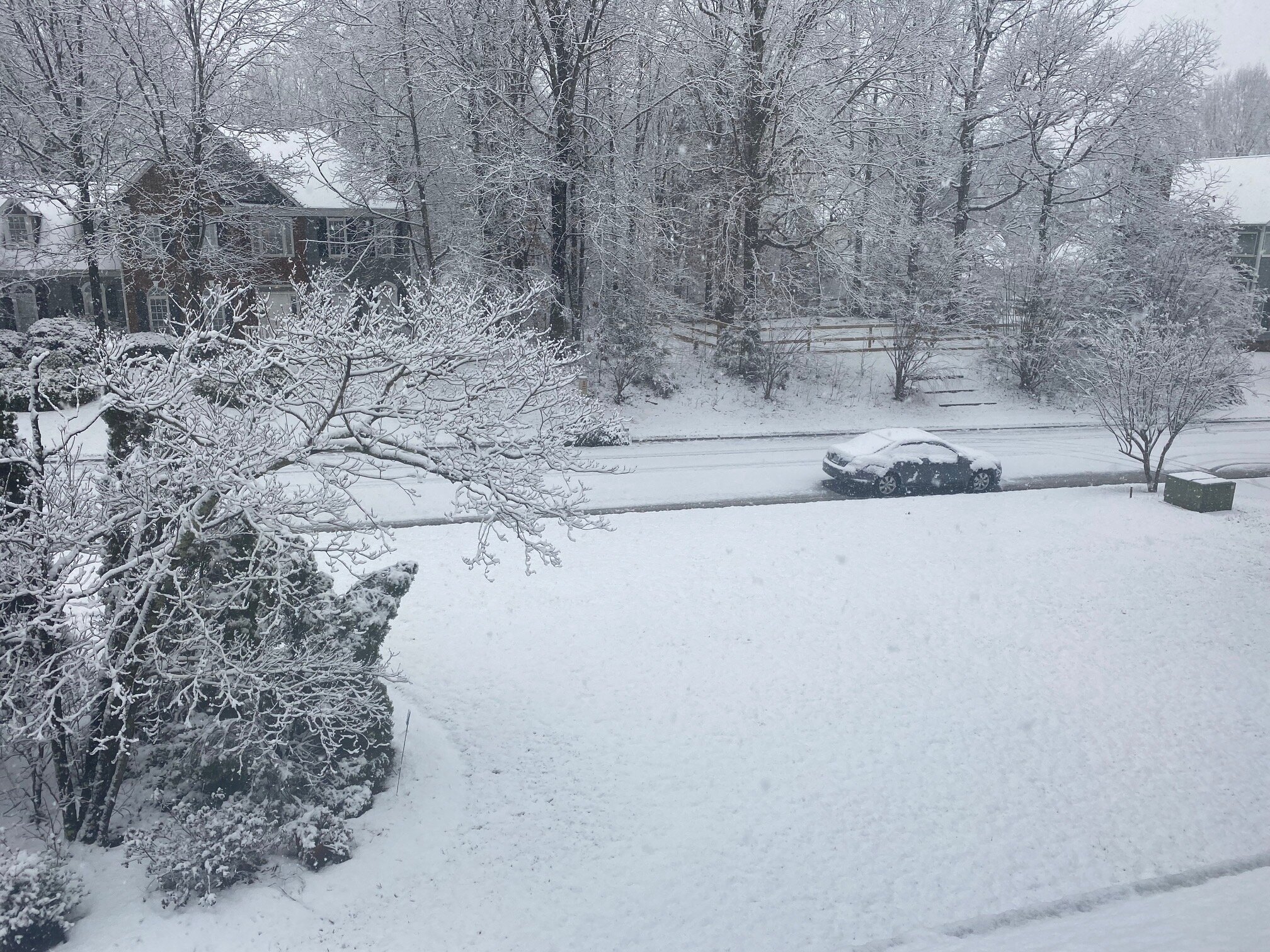
Snow started around 5:20 am and we've picked up about 2 inches. Very fine flakes at sunrise. The last hour has been much heavier with larger flakes (more accumulation), but that is probably the first sign of warming air aloft. Just hearing my first pingers begin to mix in at 9:27 am. Hate to see this with 21 degree temps and really hope it doesn't change to rain here. -
Snow has ended. 2.5 inches of wet / melting snow.
-
Was able to get some good accumulation in Lewisville (west of Winston Salem) due to heavy snow with very large flakes. Looks like maybe 2 inches and roads were quickly covered.
-
February 18-19 MAJOR Ice Storm Threat
BG_Slick replied to NorthHillsWx's topic in Southeastern States
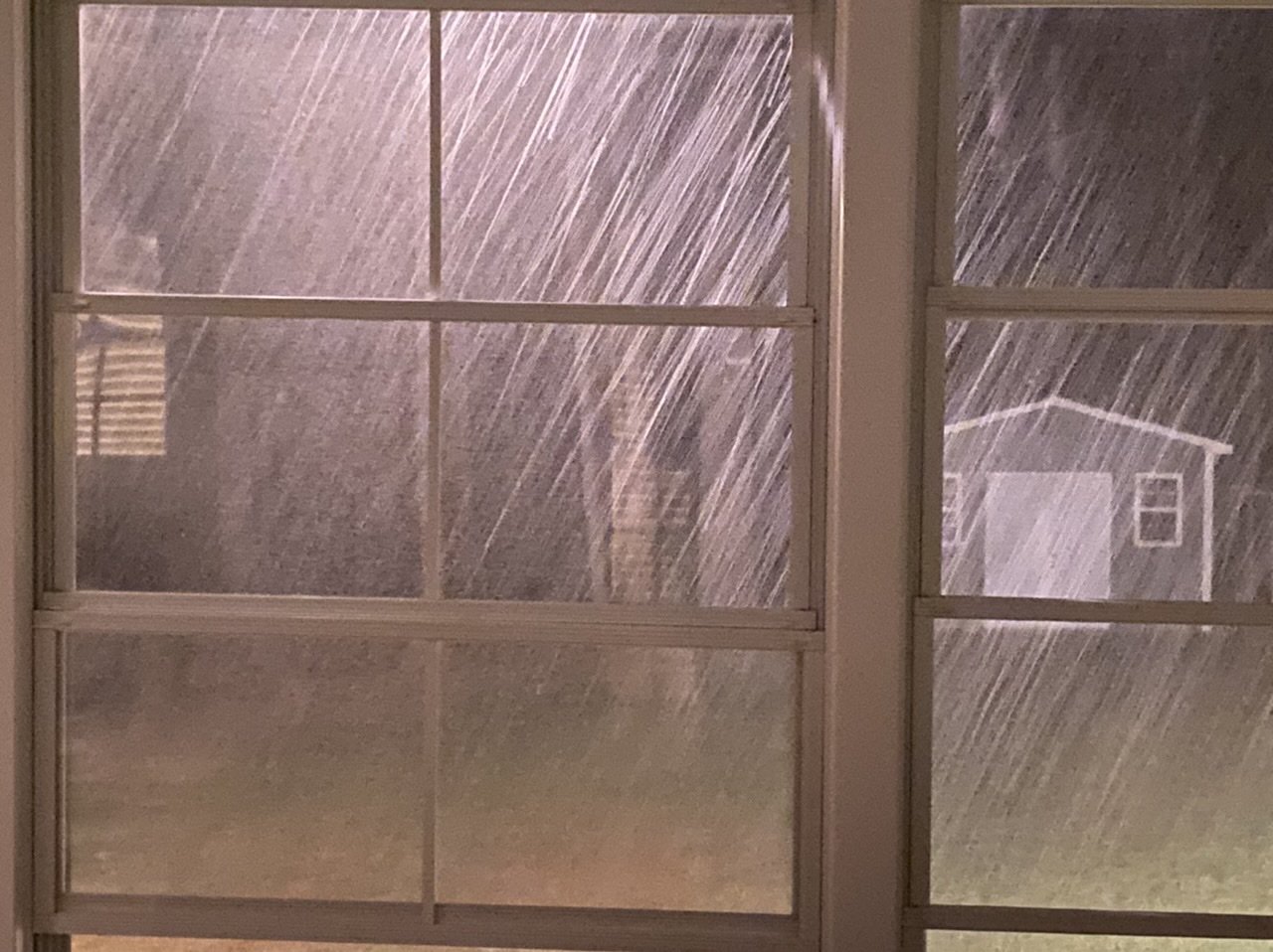
main batch of precipitation has moved through. Only light rain now. Looks like maybe .10 to .15 accrual on trees. Sleet seemed to help and temps went above freezing during heavier rain (latent heat release?) Hopefully we can melt these trees off before temps drop again. (32.5 / 31) -
February 18-19 MAJOR Ice Storm Threat
BG_Slick replied to NorthHillsWx's topic in Southeastern States
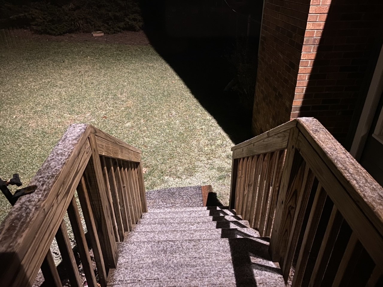
Icing on trees and elevated surfaces...some on grass. Temps rising above freezing in last 30 minutes (32.3 now). Lowest temp was 30.6. Heavier precip rates moving in with increased sleet mixing in. Lights just flickered unfortunately. -
Ended up with half an inch. Driveway and road finally covered with the back end snow before sunrise. Congrats to those that got much more down south!
-
Made it to 33 ... snow continues but finer flakes. Maybe .25 inch here
-
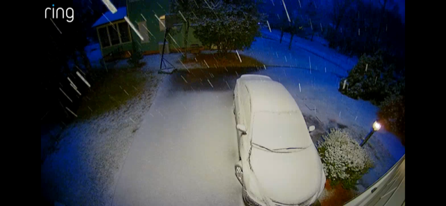
Car covered. Accumulating on grass. Not sure how long this will last...if it were only 32. Currently 34
-
Drier moderate snow. Trying to accumulate on elevated surfaces - 34F
-
Mostly snow now
-
Rain / snow mix now ... 35F
-
Starting to mix in Lewisville ... still mostly rain though
-
Just when it was going good snow totally stopped. 34F
-
Snow and 35F (aka ripping)

-
Steady snow in Lewisville (triad). Starting to accumulate on deck
-
Now light snow in Lewisville. 37F (dropped 2 degrees since precip started)
-
Sleet in Lewisville
-
The back edge of the precip turned to rain...
-
made it to 32.9F but the snow has let up and I can see the back edge moving closer on the radar. Never could get any to accumulate.
-
Moderate snow with very large flakes - temp dropped to 34.2 F
-
larger flakes mixing in as temp drops - 35.3F
-
Radar gap finally filled in around Lewisville (west of Winston Salem) and light snow has returned. 35.8F
-
Finally hit the freezing mark but of course the back edge of the snow is near.
-
steady snow here since ~ 1:30 pm. Accumulation on everything except the roads. Temp dropped and stayed at 33. Maybe 1/2 inch to 3/4 accumulation