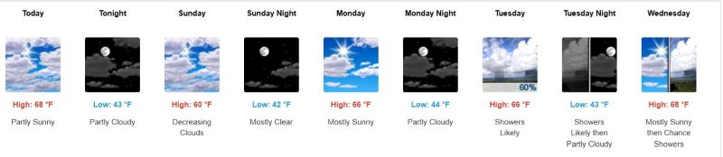
.jpg.82995912781a8a839ab578c3b293f48f.jpg)

weatherbo
-
Posts
6,475 -
Joined
Content Type
Profiles
Blogs
Forums
American Weather
Media Demo
Store
Gallery
Everything posted by weatherbo
-
49 and cloudy with some light showers this morning. High should reach the upper 50's with a stout nw'trly breeze. Good day for a deep woods hike, bugs will be minimal.
-
Great for splitting and stacking firewood, for the garden not so much.
-
Low of 49 overnight marks the warmest morning low of the year at my place. A very warm and dry day on tap. Should reach low 80's.
-
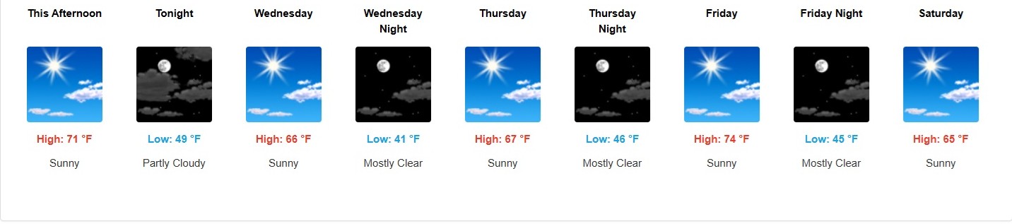
Started most of my veggie plants back in early April inside where I have a small grow room. There's something very satisfying about watching a plant sprout and grow when there's still 4' of snow otg. Annual flowers and a few other things I purchase from a greenhouse in Negaunee where I work each summer. Of course, I planted most everything yesterday when the forecasted low for last night was 44, but it was one of those sneaky cold nights I worry about, with an actual low of 37 here. Thankfully I covered everything with a frost cloth to be safe. Two more night of lows in the mid 40's then the nights begin to slowly warm. Sun and mid 70's today. Have only had .75 inches of rain for the month. Pollen is thick on everything. Leaf out is about 60-70% on most trees w/ the exception of the oaks which always lag behind.
-
Cooler here today as well in the upper 60's and another night in the mid-40's likely. Against my better judgement I'm going to start planting in the garden. With this dry air, there's always a chance of a sneaky cold night, especially with the lake still chilly but with the already short growing season it's either now or never.
-
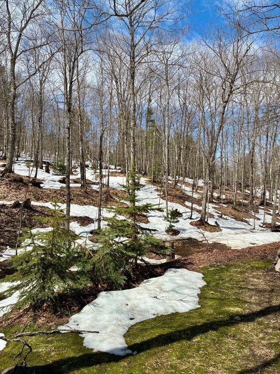
Came across a random patch of snow today. It's at the end of a camp drive so it's remnants from a plowed pile, but impressive to see on May 28th, nonetheless.
.thumb.jpg.bcae33702f272d11eee0b65eb58ba8dc.jpg)
- 220 replies
-
- 10
-

-
38 here, 32 at Baraga Plains, and the cool spot again Eagle Mine at 29. Should top out in the mid-upper 60's with wall to wall sun.
-
Beautiful day with a noontime high of 70. Lake breeze pushed just far enough inland to drop the temp here to 61 under full sun @5pm. Could stay like this all summer long as far as I'm concerned but 60's are not conducive to productive pepper plants.
-
Similar up this way only with cooler nights.

-
First 80 of the season, and about as warm as I like it. When it comes to heat I’m a puss.
-
When I found this house, it had been sitting empty on the market for almost three years. The couple that built it in 2007 were in their late-50's at the time and had decided to retire here from Illinois because they enjoyed their yearly summer vacations to the area so much. Turns out, after two winters they would not face a third. He couldn't keep up with the amount and frequency of the snow at his age, and she fell into a deep depression during the winter months... ended up moving to Colorado Springs. I will never forget what the man said to me at closing in a weirdly ominous tone, I remember thinking at the time, "Just remember, if the forecast is calling for 1-3 feet, you're the 3". Almost 13 years later and I'm still here. A great looking day here, sunny 65/29 w/ a light breeze.
-
BrianD said it best. A big pond, some latitude and it's a different world. Recovered nicely today with a high so far of 54, has since dropped a couple degrees with a light ne breeze. Better than yesterday.
-
Very chilly as I head out this morning. Sitting at 24 here with lots of low to mid 20's being reported. Cold spot just nw of here @ Eagle Mine with 17. Milder tonight but still a chance of frost.
-
42 under full sun @ 3pm w/ a northerly breeze. The sun does take a bit of the nip out of the air but it's def chilly. Widespread frost/freeze advisories for the N lakes tonight. I don't usually plant anything until after June 1st tho, and even then it can be risky.
-
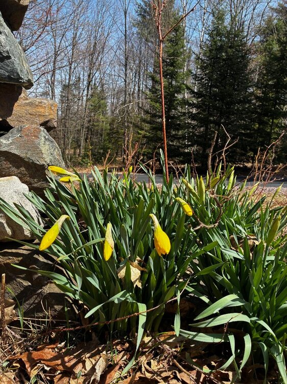
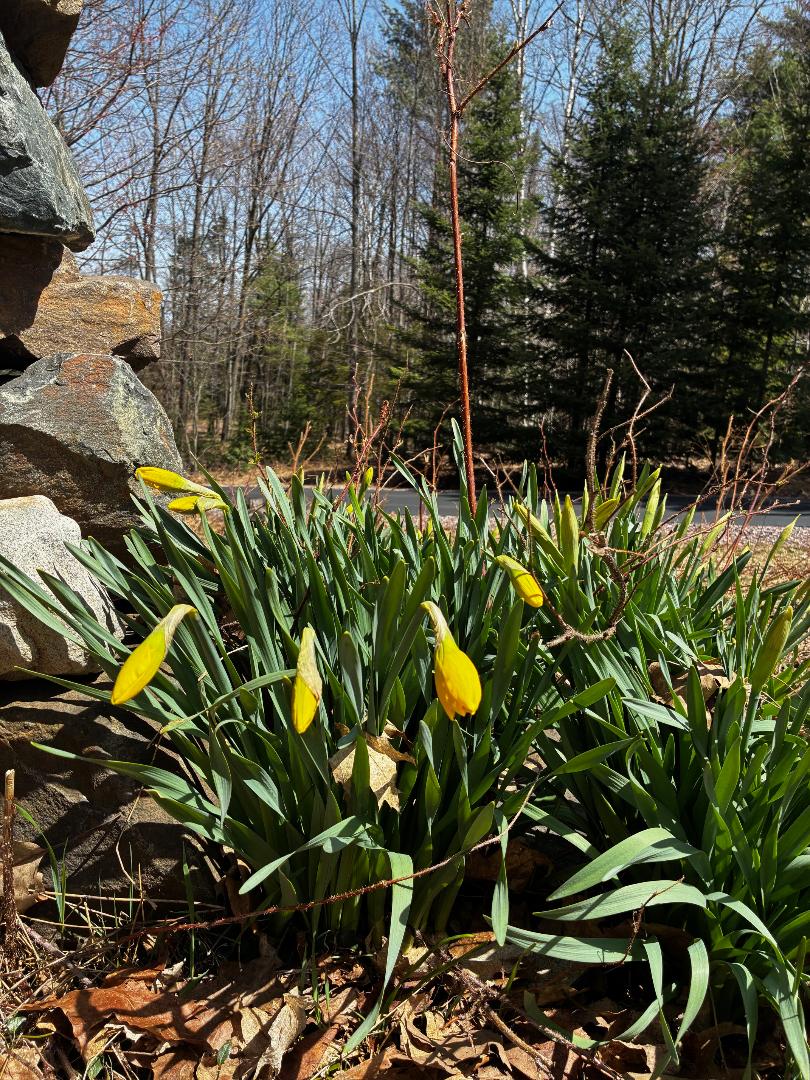
The page has turned. Spring is in full swing. Reached low 80's here yesterday as the last patches of snow in ditches and swamps melted away. The only place where snow remains is around the pole barn where it slid off the roof all winter. Maples are starting to bud and patches of green are replacing the blah brown. The last 80 here was October 5th.
- 220 replies
-
- 10
-
-
Carbon copy over this way. Should reach low to mid 40's today. Upper 50's- 60 by late week. The older I get the shorter the summer season seems.
-
3 feet accumulated here May 2nd-3rd 2023. 48 inches fell in Herman during the same time. It can always snow hard enough to overcome the sun angle.
-
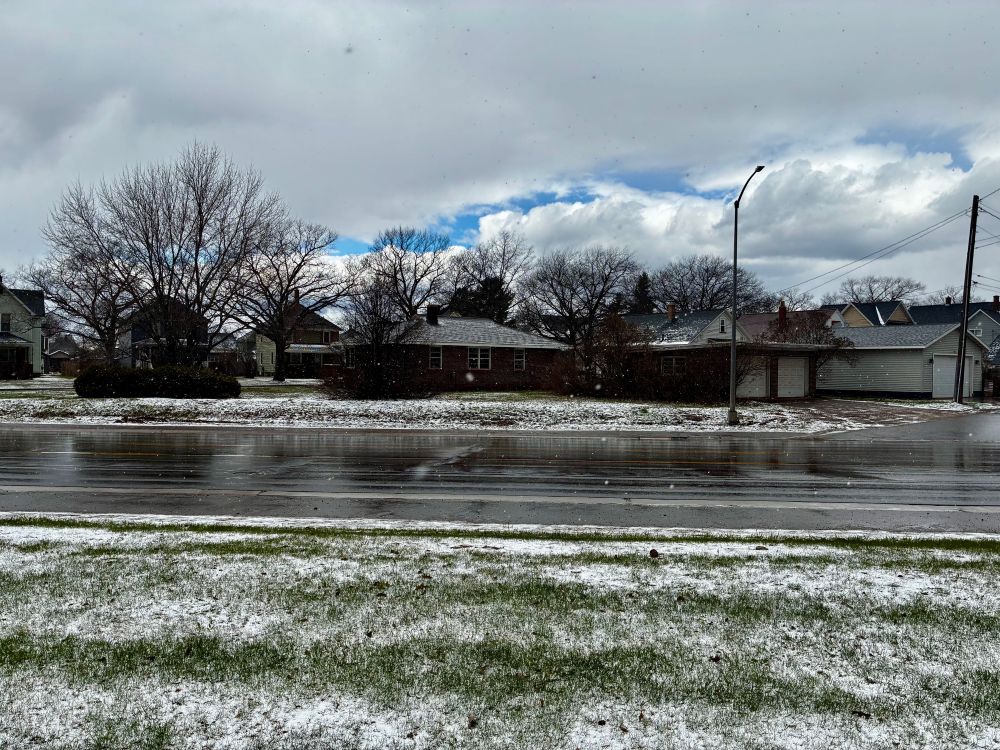
Was down in Negaunee and took this around 2 PM. Snowed heavy enough to accumulate even on rooftops w/ temp of 39. Felt like an October day... ready for Spring any day.
-
Third day in a row with snow showers, and the fourth this month. High in the upper 30’s yesterday.
-
Low here of 30 too with snow showers as well. Gonna be a chilly next few days. 26 days until met summer. edit: some of these snow showers are quite robust too.
-
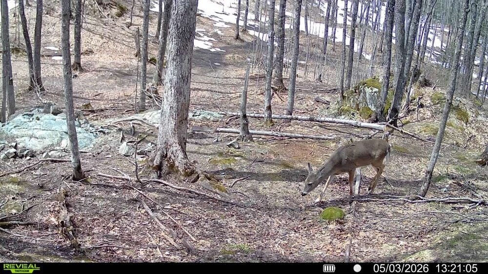
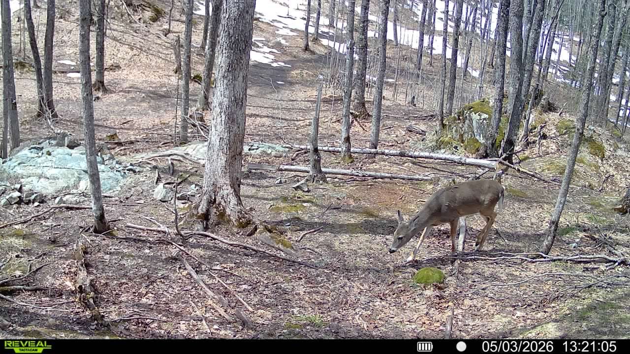
Reached low 60's today with a couple thundershowers, one that produced very brief hail. Webcam in the back caught a deer migrating back in. Starting to feel like Spring.
-
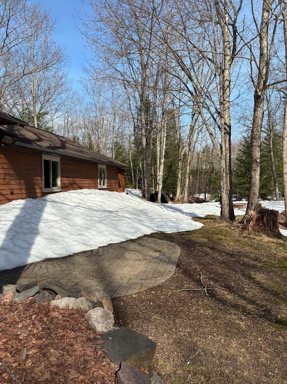
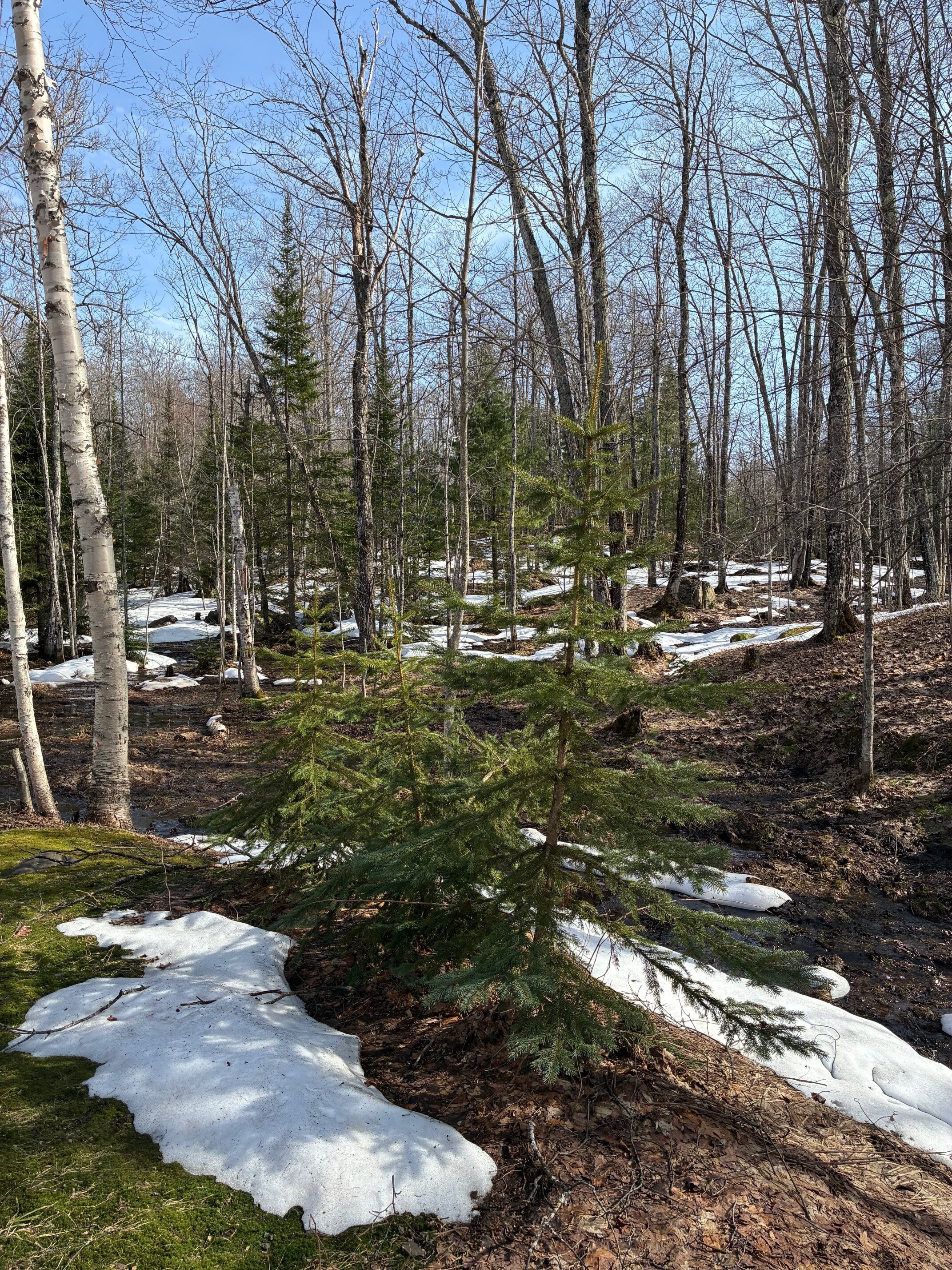
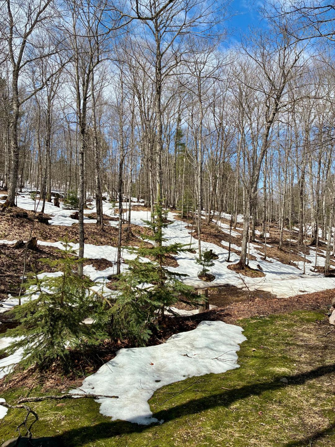
Mid 20's last night should rebound into the upper 40's today. I'll take it. Snowpack becoming patchy with the swamps and north facing areas still holding deeper snow. Will probably have areas of snow for another week, ending 6 months of snow cover.

-
Ground is about 50% covered with 3-6" remaining. Two swampy areas near the house each still have close to a foot, and just eyeballing outside this morning looks like 2-2.5 of fresh snow fell overnight coating everything. Cool today and tomorrow with highs in the upper 30's/scattered snow showers.
.thumb.jpg.250a906ba1861daa44499b6abe828d32.jpg)
-
35 with light snow for about the past hour. A chilly next few days up this way which I completely expected after a fairly mild April.
-
Yes, but there is a big difference between snow cover and snowpack. The 8-12" snowpack here still holds a 4" water content that is resistant to melt. The southern sub rarely gets a pack, it's just cover, so the snow is prone to melt regardless of forest or field.


.jpg.9364779448a2b2da5f255b42222d89aa.jpg)


.jpg.4e9314b68b33ee9b55cabd0dbd449450.jpg)
