

wncsnow
-
Posts
8,829 -
Joined
-
Last visited
Content Type
Profiles
Blogs
Forums
American Weather
Media Demo
Store
Gallery
Everything posted by wncsnow
-
Down to 23 already
-
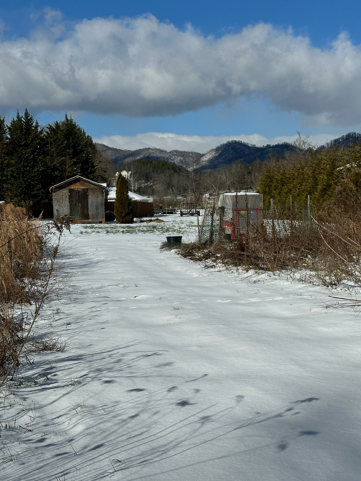
I think the sleet really helped make this snow hang on longer. We lost some in the sun but the ground is still 90% covered here. Its now 32.
-
With a pretty decent snow pack, it will be interesting to see how cold it gets tonight. NWS says 15. I think we can get to 12 if the wind is calm.
-
One thing is for sure, this winter isn't the complete fail that basically everyone was calling for. Last winter was supposed to be the best in years and was a total fail. This one was supposed to be a la Nina torch and it's been cold and a lot of us have seen snow.
-
Thanks man, I am getting there. Hope we have another threat to track soon!
-
2 inches near Marion
-
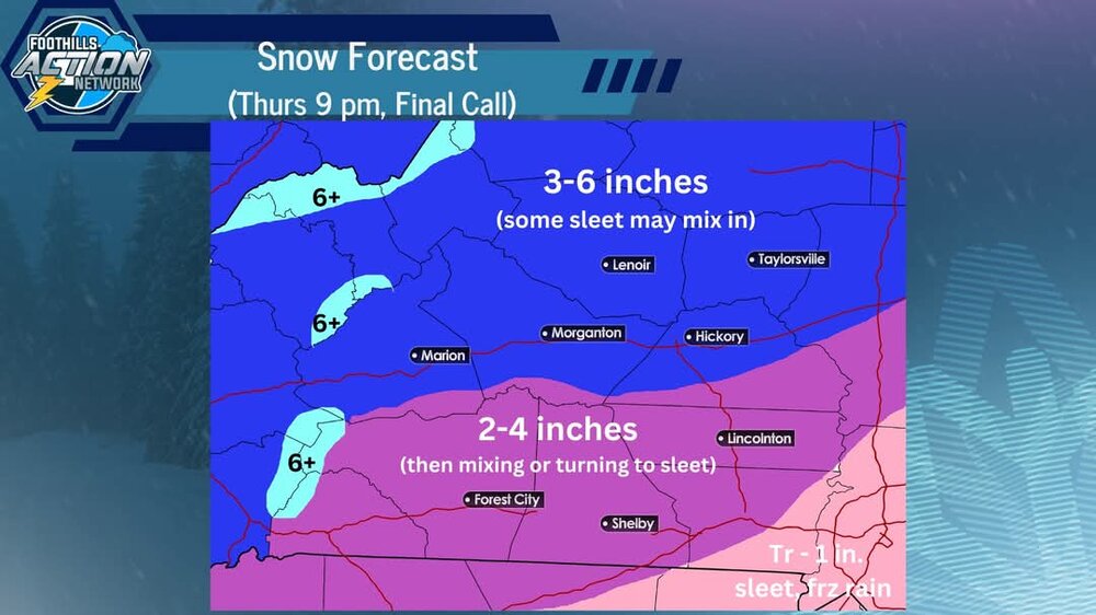
Looks to be done here. Eyeballing it appears to be around 2 inches
-
Took a look outside, coming down nicely
-
This is not a true Miller A. There isn't much circulation with the storm. Too much energy in OH valley.
-
I'm trying to return to the world of the living. Forgot how bad norovirus is. I'm completely drained literally and figuratively
-
The NAM 3km has a heavy band of snow rotate in about 9p.m.
-
I haven't been able to go out and measure but eyeballing it looks about an inch
-
Trust the NAM I guess
-
At least we broke the streak.
-
Looks like a bust fellas
-
My luck is pretty bad to get norovirus last night. Can't even get out of the bed to enjoy it but I'm hoping you all have a great day
-

1/10-11 super awesome winter SE OBS thread
wncsnow replied to strongwxnc's topic in Southeastern States
I was hoping I could avoid it but I have caught the same stomach bug my son has had. Will be looking at the snow through the windows this time. -
-
Better sleep tonight so you can get out and enjoy whatever happens tomorrow!
-
RAP
.thumb.png.0a7c2db551f42a759b925dfc739cd1ff.png)
-
GFS
.thumb.png.aada906a48dc42ed20d442b30dc69de8.png)
-
1/10-11 super awesome winter SE OBS thread
wncsnow replied to strongwxnc's topic in Southeastern States
21/11 It's cold -
FV 3
.thumb.png.d7704a2dc9b2b7797cad4bb5520722b5.png)


.jpg.b01f9602f03666992cf53c60162cf541.jpg)


.png.8f877944c60f6a80e276d14f6ffd8b1e.png)
.png.8b917d0c808ceea98bc7cbe9622c5cd9.png)

.png.6b008911162c7f45238caf38bfb2351f.png)