MD Snow
-
Posts
1,875 -
Joined
-
Last visited
Content Type
Profiles
Blogs
Forums
American Weather
Media Demo
Store
Gallery
Everything posted by MD Snow
-
It has been the most amped over the last 48 hrs though.
-
I disagree. FV3 and GFS all showed a warning event last night. They both trended directly to the Euro over the last 2 runs.
-
FV3 is weaker and more strung out. Waiting on the Canadian but most other guidance now agrees on a light advisory event at best.
-
Northern stream vort is further north and allows Southern vort to come further north east up the coast. At this point you don't want to see things trend worse run to run. 6z EURO trended better and 12z GFS didn't trend worse. I'm okay with that. Still got a long way to go.
-
I would have probably been banned or five posted if I would have told you we'd be where we are now last Tuesday. I don't buy any ensemble outside of 10 days, period. Just me.
-
Half the fun for me is the chase. Love when we get a threat within 96hrs. Nights start off early. Nam at 9pm. Icon at 10. GFS at 10:30. CMC at 11. UKIE at 11:45. Euro at 1am. Don't know why I'm so excited...lol, I guess it's just been a long time since we got a threat within 4 days. Not quite there but getting awfully close.
-
That's good. What we don't want to see is the Euro more supressed run to run with the GFS following. I'll take the nights runs as a draw. GFS and EURO trying to meet in the middle. As long as we don't see the storm just drop off the map over the next 24 hrs (which at this point would be difficult), I think we'll be in the game for something. As I've read and studied, it doesn't look like this look is as suppressive as 12/9 was for our region. Even if come Thursday the heaviest axis of accumulating snow is in central Virginia I think we could easily see a tick north to put us in a high advisory/warning area for the metro areas of DC and Balt. At this point, that is kind of my high bar for this event. Still think there is way too much time and this storm might have one more semi-major change to it given it's 4-5 days out still. That could be for the better or worse.
-
Did the EPS improve at all or was everything still suppressed/weak?
-
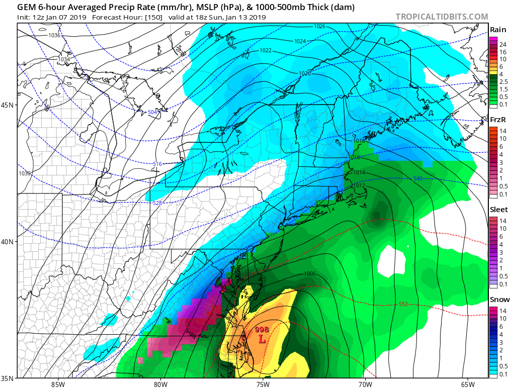
Fv3 snows from hrs 115-153.
- 1,839 replies
-
- 2
-

-
- we just jinxed it
- helluvaway to run a torch
- (and 1 more)
-
January 20
-
I’ll be honest. Wasn’t expecting that after the 12z EURO and icon tonight. And all the talk about the gfs being terrible because of the GS. Nice to have another global on our side even if it is the CMC.
-
Still got a long way to go with this one.
-
People gonna be hard core exptrapalating the 0z NAM tomorrow night. Should be fun!
- 1,839 replies
-
- 1
-

-
- we just jinxed it
- helluvaway to run a torch
- (and 1 more)
-
No one panic when the GEFS cuts back on precip and shows more southern sliders....lol...if you do...there's a place for that right?? Weenie rule 1,046....GEFS always follows the op....
-
GFS is plenty juiced. Honestly feel like this run is more realistic given that ginormous HPC to the north.
-
SLP is weaker on the GFS and further south through 120. 1047 HP is further south. Was 1044 at 12z and not pressing as much.
-
It's the ICON and it already ran....
-
https://www.washingtonpost.com/weather/2019/01/07/national-weather-service-is-open-your-forecast-is-worse-because-shutdown/?utm_term=.b071bb39c80a
-
18z ICON seems pretty much the same. Get's precip in by 114 and still snowing at 120. Waiting on h5 hrs to load.
- 1,839 replies
-
- 1
-
-
- we just jinxed it
- helluvaway to run a torch
- (and 1 more)
-
Anybody got the Ukie?
-
-
After this panel it phases and bombs the NE. LOL

-
FV3 had the same general idea at 6z and 0z...
-
h5 looking good on 12z gfs at 108 to this amateur's eyes...
-
ICON has a stronger coastal at 12z than at 0z. Track doesn’t really change.