

Superstorm93
-
Posts
8,230 -
Joined
-
Last visited
Content Type
Profiles
Blogs
Forums
American Weather
Media Demo
Store
Gallery
Posts posted by Superstorm93
-
-
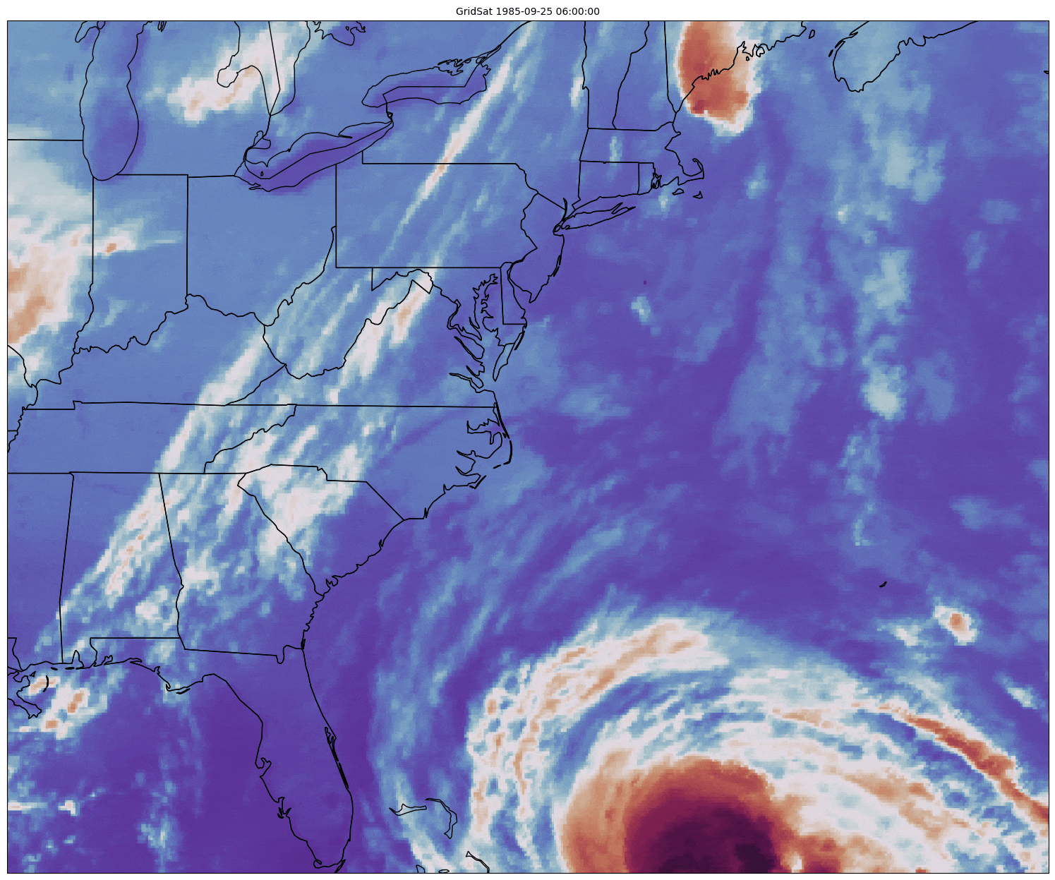
38th anniversary of Gloria
Extremely similar track to Irene back in 2011

-
 10
10
-
 2
2
-
-
On 9/26/2023 at 5:26 AM, TheDreamTraveler said:
Idalia might not have even been a major when it made landfall. It was one of the most hyped up storms I've seen in years that did way less damage than what was forecast due to it rapidly weakening hours before landfall. There really wasn't any widespread catastrophic damage to warrant it being retired. It also helped it hit one of the least populated areas of Florida. I'd be surprised if it got retired.
I mean a rapidly intensifying hurricane in the Gulf deserves some level of hype. We're very lucky with how things panned out and I'd rather have increased awareness that leads to a relatively low death toll than the opposite...
If you want to talk about unnecessary hype then Lee is a storm that was blown way the hell out of proportion.
-
2
-
1
-
 1
1
-
-
On 7/5/2023 at 10:38 AM, Superstorm93 said:
The new Euro seasonal model continues to show an exceptionally active remainder of the season. Little skeptical, but it's going to be rather interesting to watch this unfold over the next two months.
I suppose we could rack up some ACE with several long-tracked Cape Verde storms if we have more intra-seasonal forcing than the giant WP standing wave,
Pretty wild how well some of the seasonal forecast models performed this year. The enhanced activity from the MDR and into the sub-tropics was pretty much nailed from the start of the season.
-
2
-
-
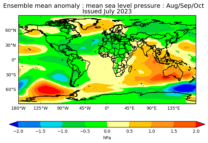
UKMET seasonal mean continues the theme of an active second half of the season
+AN Precip and BN SLP across much of the MDR
I think there's enough of a signal from the global means to assume that we'll have elevated areas of activity across the deep tropics, with somewhat reduced cyclone frequency in the Caribbean and Gulf. Obviously, it's impossible to say with confidence that the aforementioned areas will be "dead", but it'll certainly be quite interesting to watch things play out.
-
2
-
-
1 hour ago, Ed, snow and hurricane fan said:
Euro seasonals seem to like an active season in the Eastern part of the basin.
The C3S is basically a "super ensemble" of all the global statistical climate models.
The actual Euro seasonal came out last week.
-
1
-
-
The new Euro seasonal model continues to show an exceptionally active remainder of the season. Little skeptical, but it's going to be rather interesting to watch this unfold over the next two months.
I suppose we could rack up some ACE with several long-tracked Cape Verde storms if we have more intra-seasonal forcing than the giant WP standing wave,
-
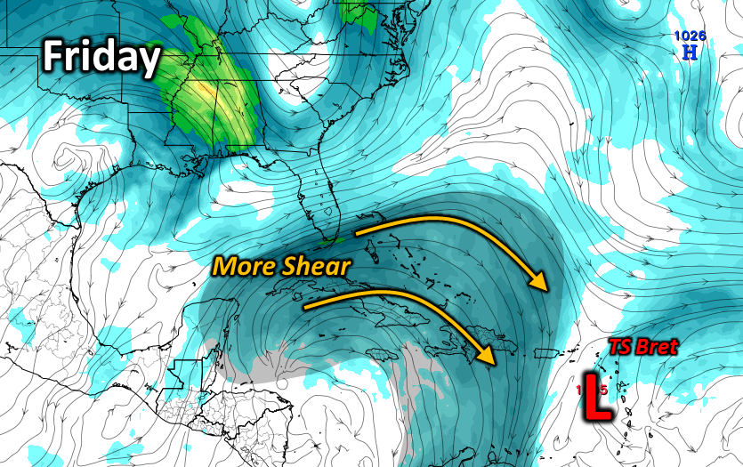
7 hours ago, LakeNormanStormin said:
Amateur opinion here. 2023 dynamics can't be accurately modeled. This storm will not be a victim of the graveyard.
Taking a good deal of mid-level shear, which is also helping to entrain dry air from the west into the circulation. The odds have increased substantially that this will indeed be a victim of the graveyard.
-
5
-
1
-
-
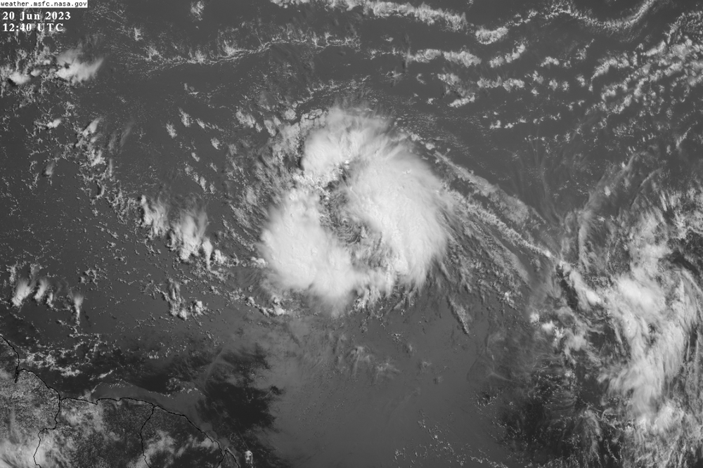
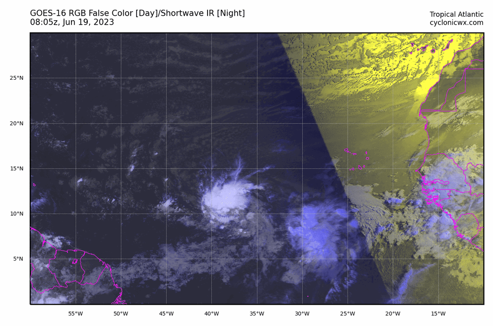
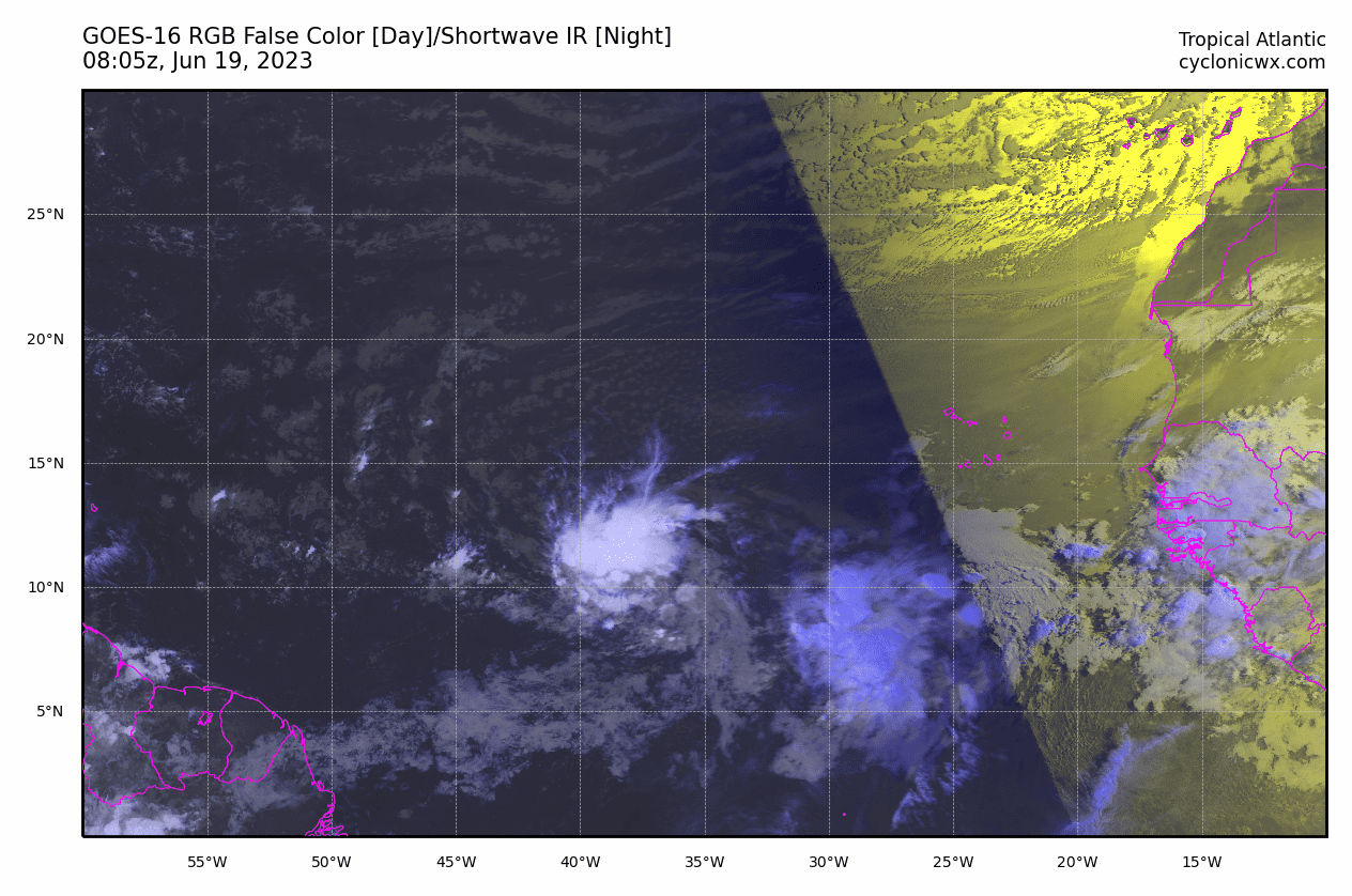
Been watching this stuff since 2006 and I can't recall a June where this was already this much activity in the East Atlantic
We're going to need to bump seasonal predictions up quite a bit if this becomes a trend.
-
3
-
-
Shallow but consistent convection has really done its job to help organize the circulation.
I'd imagine this is a depression by early Monday
-
1
-
-
-
Quite possibly the dullest May I can remember in the last 10+ years.
Haven't even had a lightning strike since April over here.
-
1
-
-
42 degrees and drizzle
Beautiful Spring day out
-
1
-
1
-
-
4 hours ago, Bxstormwatcher360 said:
Had about 3/4 of an inch here, there is another batch coming in though so its not over yet..
Thanks! Where exactly in the Bronx? Trying to get an idea of where the gradient set up!
-
1
-
-
18 minutes ago, Typhoon Tip said:
Am I gonna go look at this thing and find that it's weaker than the 12z again... ?500 trends have been flatter, but you guys have the latitude to play with this go around.
Overrunning and the secondary low (if the primary dies fast enough)
-
Really like this signal for you guys. Hoping you can cash in big time with the overrunning and potential secondary low.
Ski resorts need some loving.
-
4
-
-
Assuming nothings sticking to pavements there?
-
22 minutes ago, Wonderdog said:
Light sleep falling in Manassas 39°
Was just about to ask if anyone saw anything with that high Z/low CC band that moved through...
-
We need a thread for tulips and early tree blooms for mid-late Feb
-
1
-
 1
1
-
1
-
-
Unhappy hour model bad
-
1
-
1
-
-
33 minutes ago, snywx said:
Temp 31 w/ flurries
1.5" otg
New snow or depth?
Trying to get a grasp of what this event did up there
-
Anyone have any good obs/pics out of Harrisburg?
-
3 minutes ago, canderson said:
Flakey lol - pretty moderate in size, if not a tad on the smaller end. Roads caved already.
Awesome. Keep the pics coming.
-
5 minutes ago, canderson said:
Started 5 mins ago

Nice! How are the flakes?
-
Some nice indies in there considering the OP was a mud storm


September 2023
in New York City Metro
Posted
End of the HRRR was gearing up for a pretty decent flooding event across the NYC metro on Friday.
Kind of like a Norlun...but with 1.6" PWATS