OSUmetstud
-
Posts
16,521 -
Joined
-
Last visited
Content Type
Profiles
Blogs
Forums
American Weather
Media Demo
Store
Gallery
Everything posted by OSUmetstud
-
Winter 2020 New England Banter and General Obs
OSUmetstud replied to CapturedNature's topic in New England
It actually was kinda more dangerous being a kid or a women back then up through the 80s. Serial killers kinda ran unchecked without DNA solving and kid disappearances weren't treated as a serious thing. And the murder rate was considerably higher. -
Winter 2020 New England Banter and General Obs
OSUmetstud replied to CapturedNature's topic in New England
Let's care about the girl who literally has no power instead of the people who in charge of our govt who could actually be doing something about it. The ones who are dismantling the epa and rolling back pollution standards? -
Winter 2020 New England Banter and General Obs
OSUmetstud replied to CapturedNature's topic in New England
Everyone here knew it was cold in ak. The typical public doesn't give a shit how warm or cold it is there. -
Winter 2020 New England Banter and General Obs
OSUmetstud replied to CapturedNature's topic in New England
You have no idea what each individual does to curb their footprint. You assume that people who care about it do nothing. What are you doing about the things that you've told us you care about more? You getting gangs off the street? -
Winter 2020 New England Banter and General Obs
OSUmetstud replied to CapturedNature's topic in New England
Lol you're ridiculous. -
Winter 2020 New England Banter and General Obs
OSUmetstud replied to CapturedNature's topic in New England
Thank god it's been a bit closer average in the us as of late. Now what about the other 200 or so countries? -
Winter 2020 New England Banter and General Obs
OSUmetstud replied to CapturedNature's topic in New England
Go read Joe b chris Martz and ryan m if you want to hear about every patch of cold on the earth's surface. I mean ****. Congress takes a ton of money from oil and anti agw business interests and they gut the epa and science funding and I never hear a peep from you about any of it. It's always about the big bad media. -
Winter 2020 New England Banter and General Obs
OSUmetstud replied to CapturedNature's topic in New England
Yeah, it was basically a clipper/redeveloper/miller b. There's been seen other storms do this in the past, the biggest one in april 99 was a way more intense version of this where a shortwave dove from northern QC to south of NS and exploded then tracked underneath a block south of Newfoundland. -
Winter 2020 New England Banter and General Obs
OSUmetstud replied to CapturedNature's topic in New England
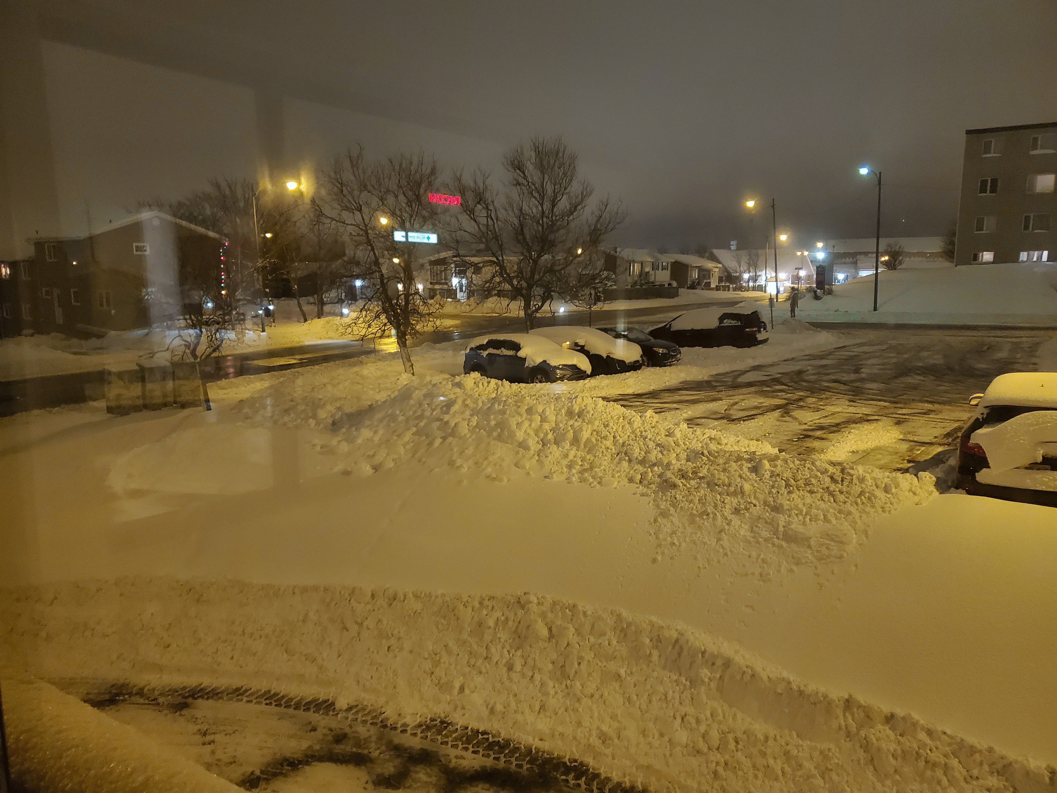
I saved it as .gif instead of jpg and it worked okay. Drew the short straw this year, apparently. I'm working 5 night shifts in a row, this being number 3, a view from the office... One of our business development guys in Mississauga is paying for our dinner so I got some skip the dishes chinese so it's not all bad.
-
Winter 2020 New England Banter and General Obs
OSUmetstud replied to CapturedNature's topic in New England
Round 1 was 7" or so. Round 2 looks decent on the radar, but it's only supposed to be like another 2-3" but we'll see. The low trended weaker over the past 24-36 hours or so. -
Winter 2020 New England Banter and General Obs
OSUmetstud replied to CapturedNature's topic in New England
I was going to post a pic from my phone but im getting a -200 error. Does anyone know why that is? The picture is under the size limit. -
I think the most meaningful thing for this would actually be to grade yourself vs. climatology. This applies to everyone of course, not just you. The whole point of this exercise should be to get skill over climatology in the long hall.
-
The Icon is so good at tropical forecasting that the NHC doesn't even run statistics on it.
-
This is the third leading story on fox. Much more responsible. Canadian ex-PM 'rooting' for Hurricane Dorian to slam Mar-a-Lago
-
indeed
-
I'm grateful for those who know how to embed tweets, otherwise I wouldn't be able to see any of Ryan Maue's. He blocked me a few months back.
-
BUF's is cold Sunday I believe (Jan 17th 1982). -37F. Also the week before set the record for the lowest wind chill for an NFL game...the AFC Championship game in Cincy "Freezer Bowl" on jan 10th 1982.
-
faint green glow to the northeast. Didn't even know anything was going on tonight so no confirmation bias lol. Kp is 5 and the map shows it pretty close so I don't think I'm seeing things.
-
christ..my heart sank for a minute. overall, pretty funny though after you get over the initial shock
-
Reconsider majoring in meteorology!
OSUmetstud replied to stormguy80's topic in Weather Forecasting and Discussion
I didn't feel like a fish out of water when I left SUNY Oswego to work in Bermuda...synoptic 1 and 2, the forecast game, and the student website all helped hone forecasting skills. However, I still learned a hell of a lot about forecasting while working in Bermuda for 3 1/2 years. Isohume is right that forecasting is a bit of an art. This is why knowledgeable amateurs can occasionally outforecast meteorologists. -
Reconsider majoring in meteorology!
OSUmetstud replied to stormguy80's topic in Weather Forecasting and Discussion
the euros might disagree -
Reconsider majoring in meteorology!
OSUmetstud replied to stormguy80's topic in Weather Forecasting and Discussion
If at some point in the future vets are so numerous that they completely block out all non-vets from being considered, then I'd consider a change in policy. Right now, that just isn't even close to the case. It seems like vets do block some of the panels...but probably not most...and definitely not all. Experience still does matter in vets vs. non-vets. If a vet is just a vet with a BS met degree..he would not make GS-09 grade. Therefore, non-vets at GS-09 would still be considered on equal footing to a vet or vets that were referred at GS-07 and GS-05. The MIC is not required to choose a vet in a case like that. For example, I was referred to Spartanburg, SC and Charleston, WV at GS-07 and GS-09, but not at GS-05. Vets were qualified at GS-05 so they were referred, while non-vets at that grade were not. Gold candidates at GS-07 and GS-09 were referred to the MIC. -
Reconsider majoring in meteorology!
OSUmetstud replied to stormguy80's topic in Weather Forecasting and Discussion
I don't have a problem with the way vets preference is done. Each and every one of has a choice of joining the military and serving in a forward area and putting your life on the line. This is a policy wherein the government gives back to the vets for their sacrifice. If you don't like it...you can sign up tomorrow and get your vet preference in a few years. Now, I think there certainly is some potential for better candidates being overlooked in deference to a veteran...but I think it's a small price to pay. Having a better resume doesn't even really make you a better forecaster, anyway. -
Reconsider majoring in meteorology!
OSUmetstud replied to stormguy80's topic in Weather Forecasting and Discussion
not a big deal in the sense I'm not going to b**ch about those who served in war getting preference. several hundred is a little bit of a stretch..the most i've heard is 430...and those tend to be highly sought after east coast locations. Buffalo had 116 last winter. I actually haven't been blocked from the last several applications I've sent in. The downsizing of the Iraq and Afghanistan operations could be concerning for the non-vets trying to get in over the next couple years, though. -
Reconsider majoring in meteorology!
OSUmetstud replied to stormguy80's topic in Weather Forecasting and Discussion
just to let you know...qualified vets don't just get the 5 pts. anymore. If there is a few that are qualified at a specific grade...they actually block the non-vets from being considered at that grade. It's not a big deal...but I've been qualified at the gold category for a number of applications but still did not get referred to the local office because a couple vets or more qualified at all three internship grades and blocked the rest of the golds.