CoastalWx
-
Posts
176,163 -
Joined
-
Last visited
Content Type
Profiles
Blogs
Forums
American Weather
Media Demo
Store
Gallery
Everything posted by CoastalWx
-
Fore River Bridge.
-
That makes more sense for sure.
-
The GYX map.
-
Might need the ole SWFE rule playbook and nix the 12" with a 700 low ripping NW. Hard to get a foot with these.
-
What do you have now? 18-20?
-
Could be pretty slippery on way down. Just take it nice and easy.
-
The op runs show you how it could be really good or really suck. Just no way to know. I like the overall look though so we’ll roll the dice.
-
Some models aren’t as thumpy as others. That’s probably the difference of like 1” vs 3”+.
-
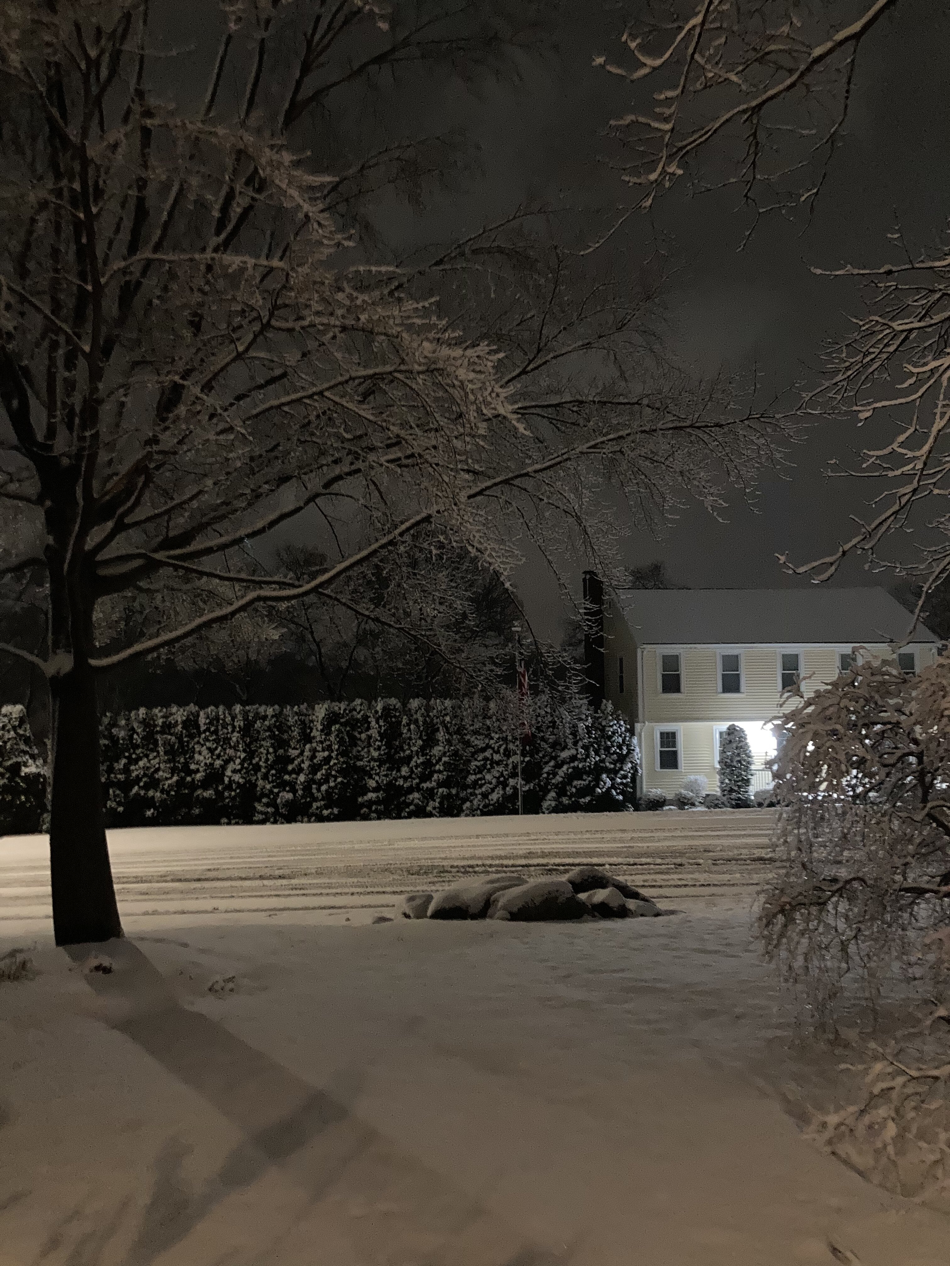
3.1”. 9.5”
-
3.1”
-
Hrrr looks thumpy.
-
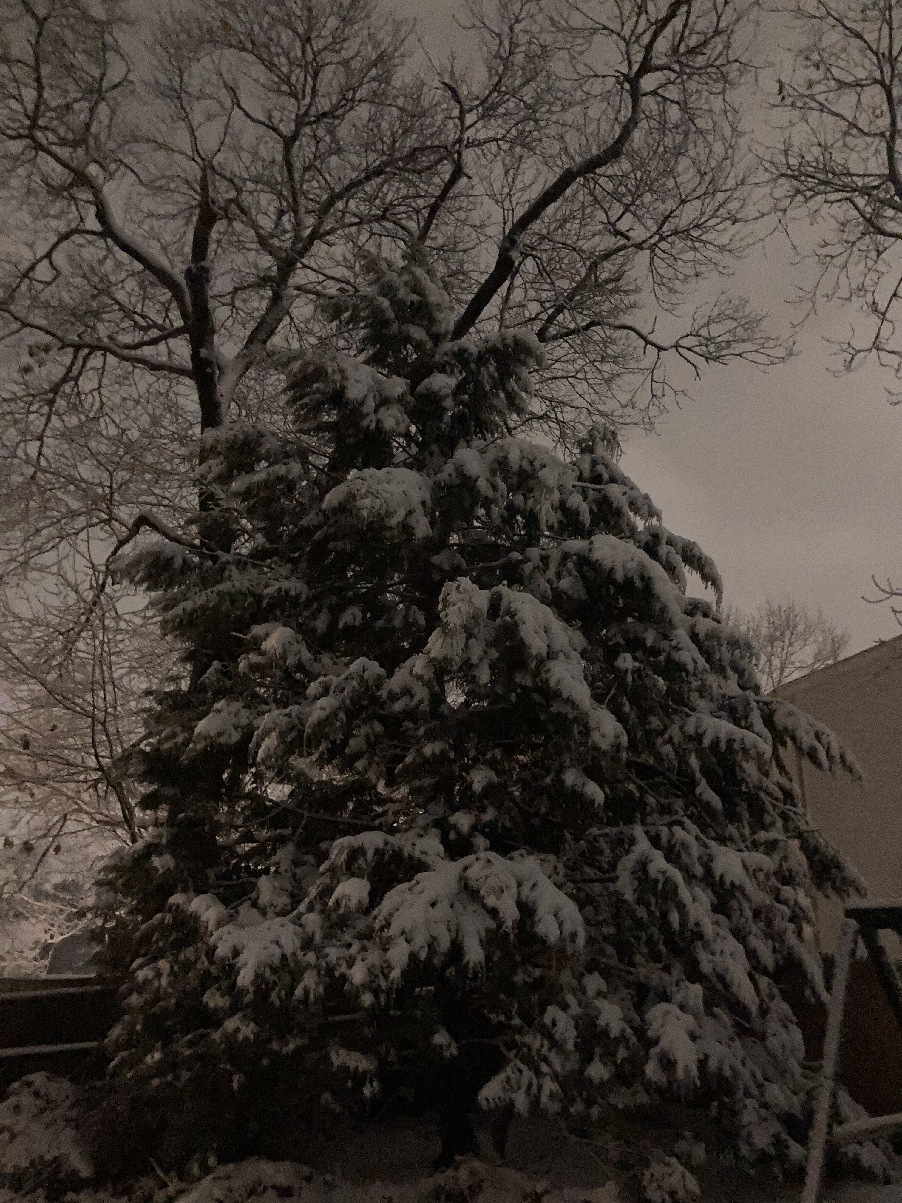
Looks awesome out there. Wet snow ftw. Probably near or just over 3”
-
Nah a few wet flakes to end.
-
Yeah I noticed that last night when you or whoever brought that up. Probably helped for sure.
-
Hopefully we get some as this pattern changes. Hell getting any snow Wednesday will be a win here compared to what it looked like two days ago. This part performed well here so no complaints.
-
Never would have guessed that lol. Banding ftw.
-
Yep, although I never looked hard at this one since it was favored up there.
-
@mahk_webstah how much for you?
-
Man you and Mark and Dryslot ftw.
-
Probably about 2.5 or a bit more here on colder surfaces.
-
What’s your total?
-
Dendies now.
-
Nah you missed them.
-
Jesus lol