CoastalWx
-
Posts
176,165 -
Joined
-
Last visited
Content Type
Profiles
Blogs
Forums
American Weather
Media Demo
Store
Gallery
Everything posted by CoastalWx
-
Well September is now a summer month. May is always hard in New England.
-
Hopefully a long hot dewy summer from Mem Day through Labor Day.
-
Just busting them Ray.
-
Daddy, they at eastern mass wx promised mid winter mayhem. What happened?
-
Cut it hopefully.
-
At least the mud would freeze.
-
What a band.
-
Just not in Tolland. Hate to see it.
-
Need to go into subway to protect the Mets getting beat up.
-
Finished up? Or have so far?
-
9.5”
-
LOL. This place.
-
Lots of burly men with arms hanging out today. Flowers are coming up and my grass is greening. Not kidding lol.
-
Maybe 2/2 has legs.
-
What a dream for you. Deep pack and a +10 month.
-
A year ago people were fretting over boobie lows.
-
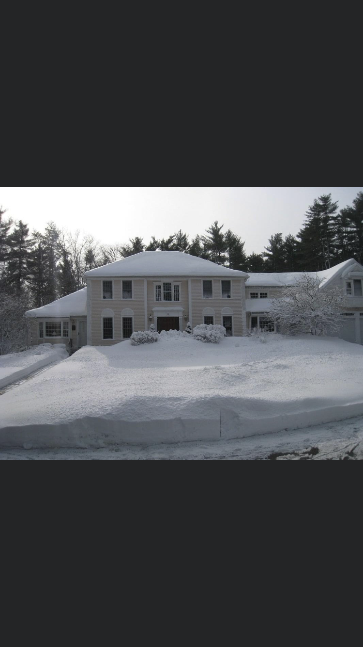
This was in 2011 at my folks. Wish we could time travel.
-
Now that the pope is on board it’s really over.
-
Looking forward to bare ground and frost quakes.
-
Winters of yore.
-
FTW
-
Unfortunately you were right about the infant. This is devastating.
-
15/16 at least here had a decent Jan and Feb event. It was going into the crapper, until the two events in early April happened. Ended up with a respectable total. I know it was brutal western MA and up into NNE. That's when PF was talking to the mtn Gods alone on the Stowe bike path.
-
She's not gonna let us out.
-
We did too. As a parent, it really bothers me. We have friends there as well, and we donated. Just feel so bad for the Dad.