

CoastalWx
-
Posts
177,436 -
Joined
-
Last visited
Content Type
Profiles
Blogs
Forums
American Weather
Media Demo
Store
Gallery
Everything posted by CoastalWx
-
Found some old PDII pics. That's my old car on the right. That lump. It's a pic of a pic, sorry about the quality.
-
It's October. You should expect a shaft.
-
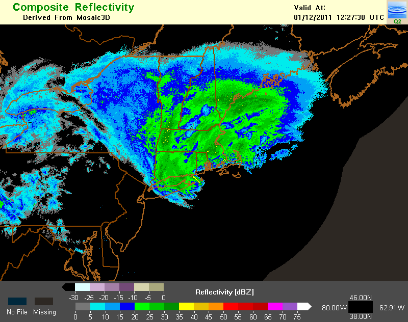
I stumbled upon this link for archived radar imagery. It's a little cumbersome to navigate, but it has some nice imagery. Only goes back to 2008 though. http://nmq.ou.edu/
-
I think we talked about it on the board, but I remember thinking that GC was going to get buried. I just said to myself "those motherf*ckers are going to get smoked." That day you could see the banding setting up in PA and it was developing northeast towards western mass. I didn't want to make them too happy, but I was like..."they are gonna get whacked again." LOL.
-
Oh nice. I used to save some news paper article from storms when I was a kid. I actually had something from 12/26/10 last year. I'll have to find the other stuff at home. When you get a chance, post the damage video. That was awesome footage.
-
Hey Ryan, do you still have any good links to the Hartford papers or even TV footage of the damage? I figured you must have saved some.
-
LOL, he must jump around on his bed like a little school girl when you mention "the hills." That coverage was great. You did a nice job with the storm. I sort of get disappointed from time to time missing out on that, but I was able to live vicariously threw you guys during the storm.
-
Although I definitely had a weird feeling for a few seconds. Sicko.
-
Once he said "The Cold Miser" I figured it was him.
-
LOL, Garth..you sick fook.
-
Yeah agreed. I went through Christmas Day constantly sneaking a peak at the models and this board. My wife hated it, but I knew it had the potential to be a beast so to me, it was justified..lol.
-
I know snow wise wasn't that memorable out your way, but the storm itself was such a beast. To have inland spots like ORH and ORE gust higher than BOS is pretty noteworthy.
-
Bump for an awesome storm locally, although understand if 90% of the people viewed it as NBD.
-
Agreed.
-
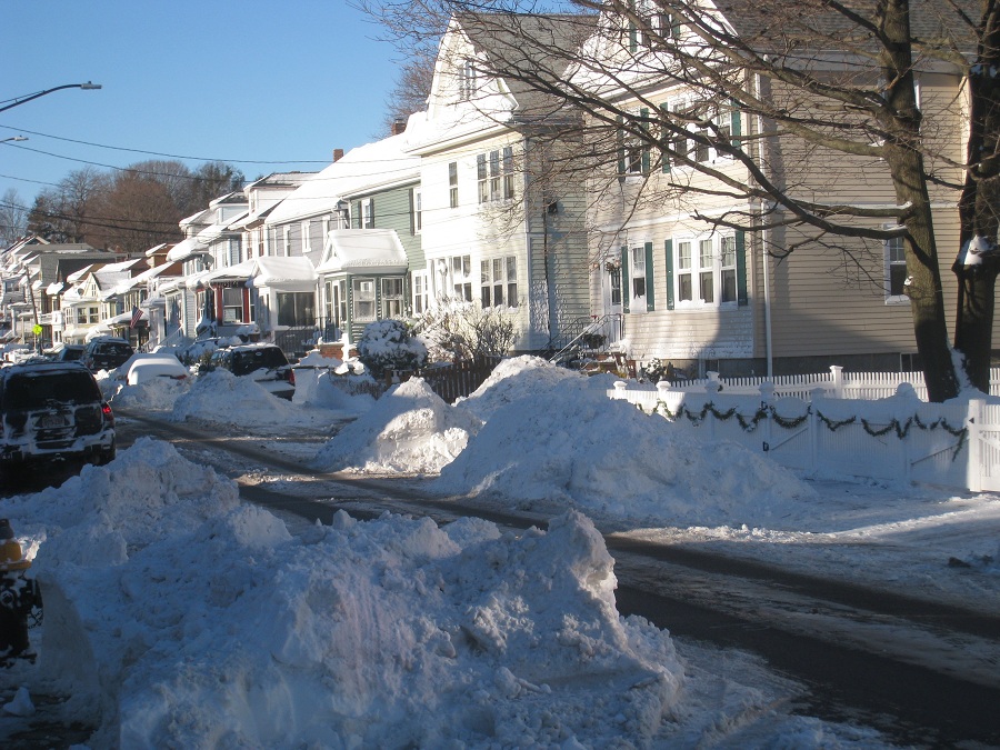
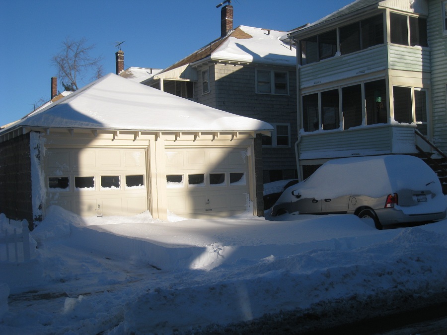
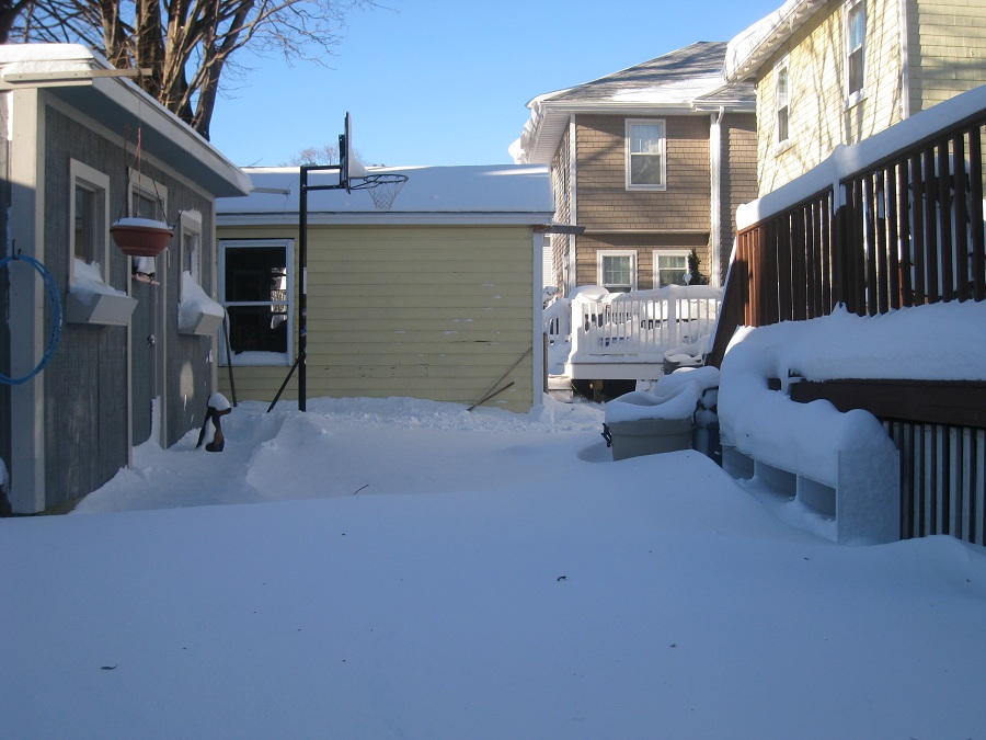
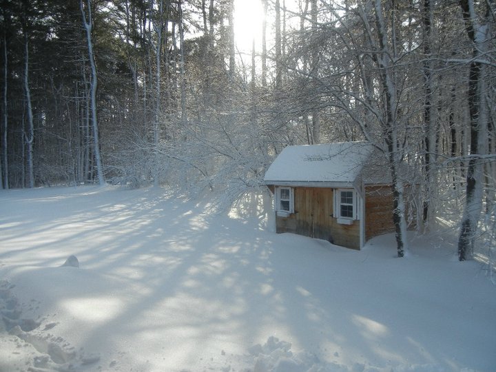
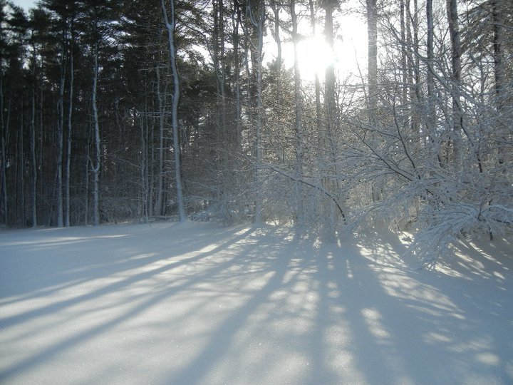
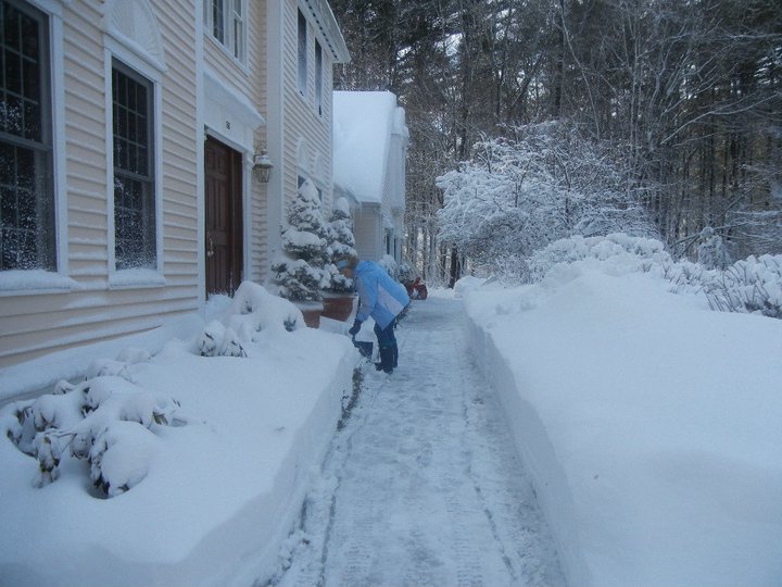
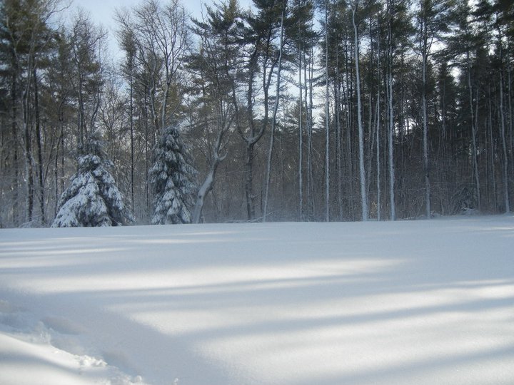
I have a bunch, but just posting a few shots I had this winter down in Marshfield.
-
Bump, because I can't get anything resembling a snowflake...lol.
-
When the NAM gave MRG like 30"?? Oops.
-
Pinkham Notch 77". http://www.ohcroo.co...ter_of_1969.cfm
-
Oh that's right...since Dec '09...lol. That was the storm where Andy said it would be in BID right? UKMET fetish.
-
I would have cleaned up in that event.
-
snowNH has been asking about that storm since Feb 2010.
-
I've made up for it since then in terms of seeing big snow events, but that one will forever sting..especially seeing that I was so close to the big amounts.
-
I lived in Brockton at the time, and we had great winds. Branches were flying everywhere. The problems was that I was expected to get 18" of paste whipped around by 70mph winds. I was so pumped. Even my parents were telling me how this may be the biggest snow storm that I have seen yet. I was a pumped up 13yr old weenie. Blizzard warnings were issued. I woke up I think near 4am and it was snowing and snowing heavy. The snow caked onto everything and the wind seemed like it would flatten every tree. It was around 9am or so, where the precip lightened and it turned into this weird sleet like snow, that wasn't accumulating. My temp went up just a bit too. I think I got dryslotted somehow and the marine layer made a second push west across se mass. 18" turned into about 6" with not much precip falling the rest of the day. When I saw areas like Walpole just to my nw get buried with snow...and ORH getting 3'....I wanted to cry...I swear. I thought that was the chance of me finally getting the big snow like my parents always talked about. I was already c*ck teased by the cape blizzards in the 80s. That storm though was a beast and I enjoyed the insane aspects that went along with it. However, that storm will be remembered for one thing....it broke the back of our crappy winters.
-
That storm is one of my worst memories ever. I swear I almost cried in that one.
-
Well it sounds like you remember more than most when it comes to weather. It's easy to say to someone "wow you don't remember that?" However, sometimes I have to realize that not everyone is a weather weenie sicko...lol. I do regret that I feel like I lost a few childhood memories of snow, but I still remember the bigger storms of the 80s.