

CoastalWx
-
Posts
176,051 -
Joined
-
Last visited
Content Type
Profiles
Blogs
Forums
American Weather
Media Demo
Store
Gallery
Everything posted by CoastalWx
-
December 2021 Obs/Disco...Dreaming of a White-Weenie Xmas
CoastalWx replied to 40/70 Benchmark's topic in New England
Yep they do. -
December 2021 Obs/Disco...Dreaming of a White-Weenie Xmas
CoastalWx replied to 40/70 Benchmark's topic in New England
We’ll take the 6z gfs. But we fantasize. -
Is that official? I just saw the possibility.
-
Man this will be one of the most intense outbreaks and quite sometime. Just as we were seeing things fairly quiet over the last few years. Happening in December of all months. Maybe first EF5 since Moore 2013.
-
Wednesday 12/8 Possible Snow/Ice/Rain? Discussion
CoastalWx replied to Torch Tiger's topic in New England
It was a solid winter for sure. I think Ray got mad he missed the big snow on like 1/2 that year and the deformation band that got me later that month, but he did get revenge in Feb. -
This is pretty impressive stuff. I’ll also note a text book fronto band earlier just SE of MSP. Why can’t we get any of this.
-
Wednesday 12/8 Possible Snow/Ice/Rain? Discussion
CoastalWx replied to Torch Tiger's topic in New England
Lots of nasty cutters that January. Ray did pretty good that winter though. -
December 2021 Obs/Disco...Dreaming of a White-Weenie Xmas
CoastalWx replied to 40/70 Benchmark's topic in New England
BOX should have a WWA into adjacent MA. -
December 2021 Obs/Disco...Dreaming of a White-Weenie Xmas
CoastalWx replied to 40/70 Benchmark's topic in New England
One of those younger, cocky mets. He has some good material, but thinks he knows it all. -
December 2021 Obs/Disco...Dreaming of a White-Weenie Xmas
CoastalWx replied to 40/70 Benchmark's topic in New England
Loop it. -
December 2021 Obs/Disco...Dreaming of a White-Weenie Xmas
CoastalWx replied to 40/70 Benchmark's topic in New England
Couple of showers in SNE in the aftn.I lead mostly dry afternoon in many areas. Maybe srn areas get those converging shwrs or drizzle. -
December 2021 Obs/Disco...Dreaming of a White-Weenie Xmas
CoastalWx replied to 40/70 Benchmark's topic in New England
Huh, check out BOX radar. What just got emitted from Portsmouth RI? Pretty sure that might be from naval base. -
December 2021 Obs/Disco...Dreaming of a White-Weenie Xmas
CoastalWx replied to 40/70 Benchmark's topic in New England
I'll take the over on both days for now. I think we sector and dry out in the aftn a bit tomorrow. -
Same and logged.
-
December 2021 Obs/Disco...Dreaming of a White-Weenie Xmas
CoastalWx replied to 40/70 Benchmark's topic in New England
Just a side note, wonder if we have some nasty ZL tomorrow morning even near BOS? That is a nasty tuck coming down. -
December 2021 Obs/Disco...Dreaming of a White-Weenie Xmas
CoastalWx replied to 40/70 Benchmark's topic in New England
If you can get a EPS/GEFS compromise after 12/20, I think it would work. EPS to me, looks like a overall tough look....I like the term headwind that Will said. But, the GEFS would make many happy I think after the 20th. Go 'Murica. -
December 2021 Obs/Disco...Dreaming of a White-Weenie Xmas
CoastalWx replied to 40/70 Benchmark's topic in New England
May have some DSD days next week. The real torch is tomorrow (especially SNE) and Thursday. -
December 2021 Obs/Disco...Dreaming of a White-Weenie Xmas
CoastalWx replied to 40/70 Benchmark's topic in New England
LOL, Spanks...it was a joke. 17F is 17F. My point is, we just have not had any real bitter airmass yet. -
December 2021 Obs/Disco...Dreaming of a White-Weenie Xmas
CoastalWx replied to 40/70 Benchmark's topic in New England
This was my street lol. You needed and ice pick.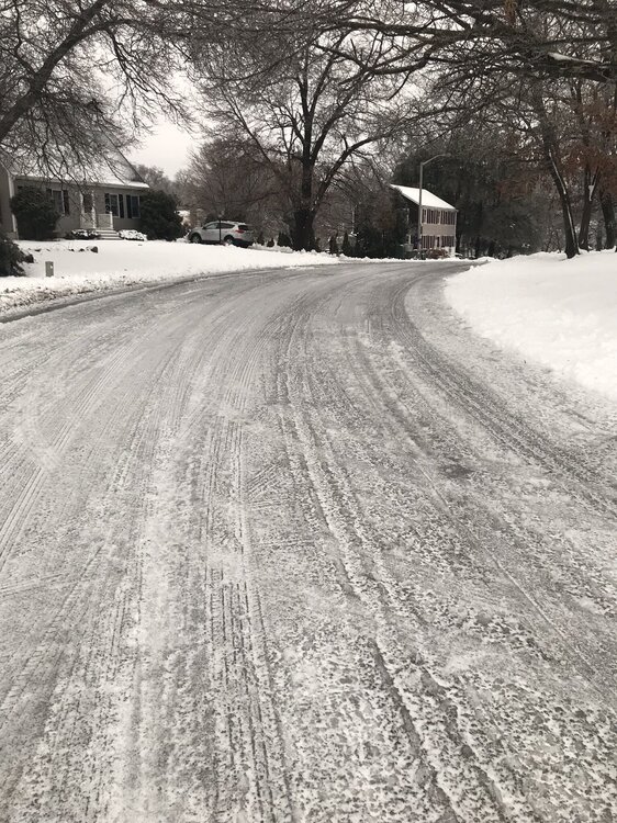
-
December 2021 Obs/Disco...Dreaming of a White-Weenie Xmas
CoastalWx replied to 40/70 Benchmark's topic in New England
Single digits with snow OTG and ice on the trees. That was about as yore as you can get. -
December 2021 Obs/Disco...Dreaming of a White-Weenie Xmas
CoastalWx replied to 40/70 Benchmark's topic in New England
It actually got better overnight for that time, but I think it will be after. -
December 2021 Obs/Disco...Dreaming of a White-Weenie Xmas
CoastalWx replied to 40/70 Benchmark's topic in New England
What about 55-65? -
December 2021 Obs/Disco...Dreaming of a White-Weenie Xmas
CoastalWx replied to 40/70 Benchmark's topic in New England
I may do that. The Amazon boxes that they came in make a good starter fuel. -
December 2021 Obs/Disco...Dreaming of a White-Weenie Xmas
CoastalWx replied to 40/70 Benchmark's topic in New England
Yeah we haven't really had one of those epic cold blasts with Ginxy arctic hounds blasting and temps in the teens or lower with strong winds. It's been the fakiators naked high fiving each other from 5-6am before the temp sky rockets after 7a. Whoopee. "Hey look how cold my valley got by the field with my unshielded accurite!" Meanwhile there's fuking Toucans in the tree canopy's above. -
Wednesday 12/8 Possible Snow/Ice/Rain? Discussion
CoastalWx replied to Torch Tiger's topic in New England
Hey if you want to go to the ER....sounds epic.


