Jump to content

CoastalWx

Meteorologist
  • Posts

    168,758
  • Joined

  • Last visited

Everything posted by CoastalWx
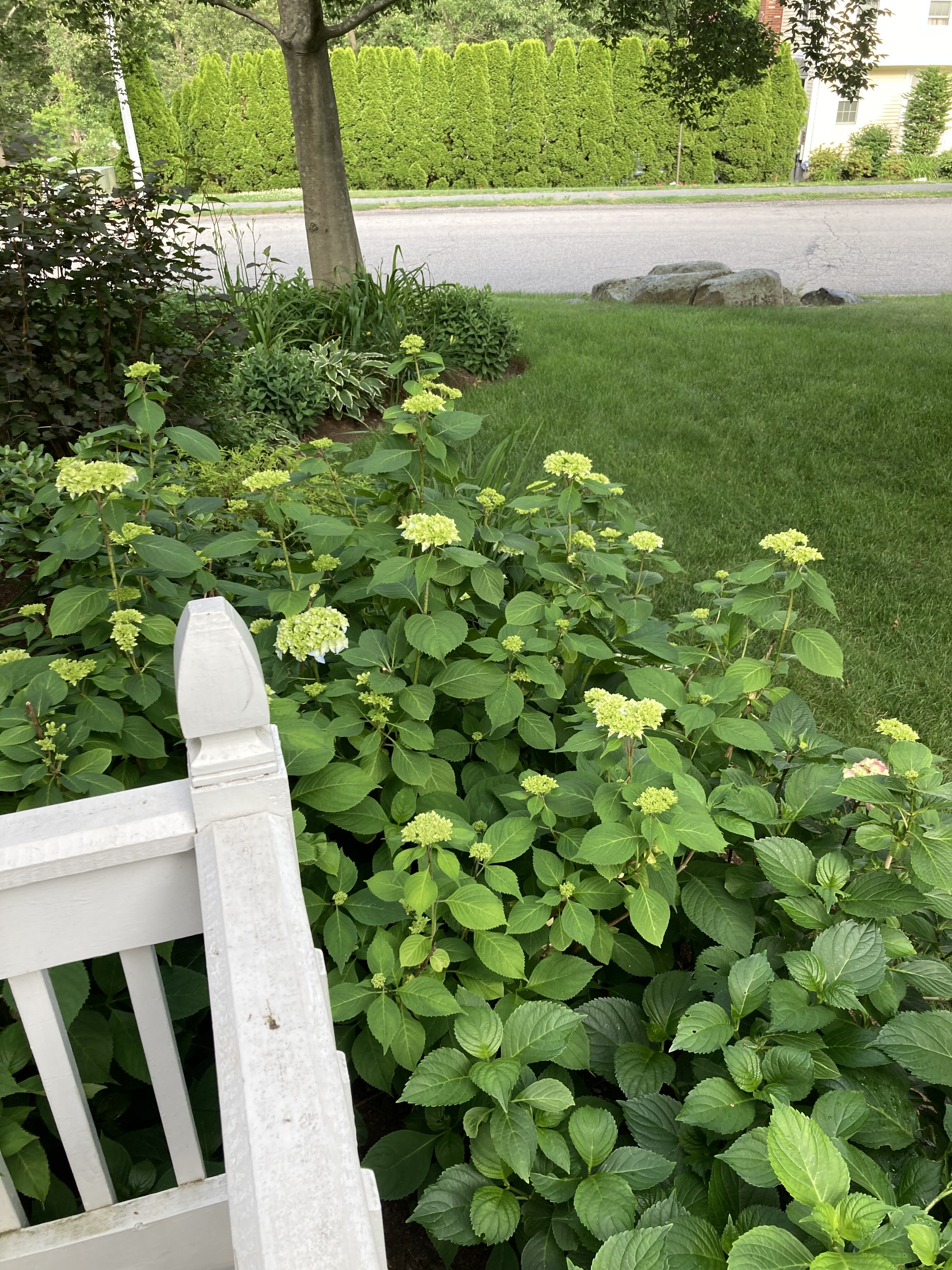
  1. That storm pissed me off. I remember watching the radar show that band rotting and just sputtering bands to the east.
  2. Heard they busted a big ring in nrn Maine for that. Tamarack?
  3. This evening. You are about 10 miles from quite a bit earlier. It’s convective. Have and have nots.
  4. Yeah..I remember looking out that morning near dawn and being like holy shit. We didn't get 20", but I remember thinking that was more than I expected.
  5. Gonna be weenie heavy downpours near MHT. Probably quick 2”
  6. Haha The Schwoegler backlash storm. That guy loved him some backlash. A weenie note...look at the conditions in Revere vs Scituate. Can tell Revere was on the cold side of the CF.
  7. I have needed to mow at least once a week all summer. I have never had that happen. Last year I went weeks without mowing. My water bill is like half of previous summers. I haven't watered, outside of typical plants that dry out on the deck. That is unheard of.
  8. "Futurecast" could be from any model. I think most use the RPM or GRAF, but some show the HRRR too. The thing is, I don't think anybody mentions or displays the model type on air. So I can see where it leads to confusion. Also, that is one snapshot. I'll take hi res models like an ensemble. Look at trends, see if the same area is identified for heavy rain etc. The run to run of the HRRR won't always show the same area getting mauled, but I can get an idea from a multitude of runs showing the same similar geographical area getting nailed.
  9. I had the same, but gardens have done well. Grass best I can ever recall.
  10. Because in the summertime, it usually is a nowcast lol. I didn't think Ida was that much of a nowcast, I think we had a good idea about what would happen.
  11. I had pictures of the winters of 93-94 and 95-96, but unfortunately cannot find them. So angry...lol.
  12. Some models do show that, now that I am seeing it more closely. A little unsure how it shakes out though when it's got convection thrown in. Good s/w so maybe deformation rains?
  13. The pack after the fluff job which occurred a couple of days after the Jan 96 blizz was surreal to me at the time. I've never anything like it up to that point. We had a deep pack in Feb '94 where I lived, but I did not get the CJ that areas in ern pym county got. It was also when I really started to understand cstl fronts. Where I was in Brockton, it oscillated a bit in the December '95 storms. In the first event (I believe 12/14-12/15) I did spend time on the other side. We didn't get rain, but I noticed it was getting wet...the tree bark started getting that dark look.....a terrible feeling to any weenie who notices that stuff. I was outside when it flipped back to NW and immediately started seeing the snow blow off the roofs, and the snow that was stuck to the trees, begin to ice up. The next event on 12/19-12/20 was sort of a CJ. I believe I had over a foot in that as the CF was just to my east. In fact, I think it was like 14-15" maybe. I believe I had around a foot otg for Christmas.
  14. If we get anything heavy, it will be from the stuff S of NJ where the s/w will act to curl it more north.
  15. There is a tiny line of downpours on the CF...maybe that tickles near you...or most likely CON on SE. Euro went wild here after 00z, but I don't buy it.
  16. I think some synoptic type stuff develops later, but the heavies stay well SE. I thought we had a chance, but typically that area of convection isn't going to sling NW.....or another area of heavy stuff develops well NW of it. That area of rain is hogging the moisture transport. Maybe stuff near DE develops later on?
×
×
  • Create New...