CoastalWx
-
Posts
176,083 -
Joined
-
Last visited
Content Type
Profiles
Blogs
Forums
American Weather
Media Demo
Store
Gallery
Everything posted by CoastalWx
-
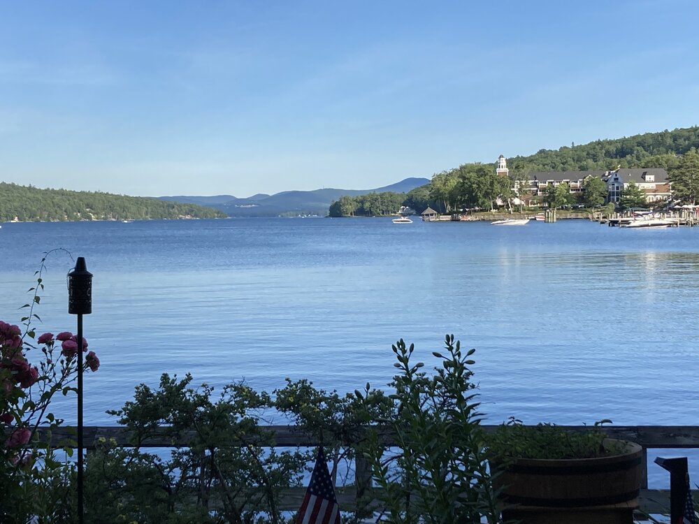
Beautiful day at Winni. We summer
-
Maybe you’ll see anvil cirrus.
-
Kiss of death
-
And that’s a wrap for SNE convective season.
-
3k nam at 6z had some cells. Some decent height falls so not surprised.
-
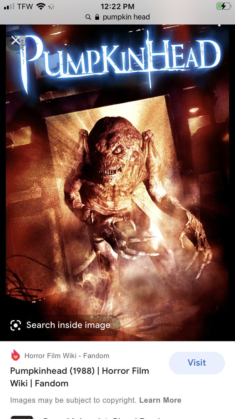
Anybody ever see this movie? Classic.

-
Here's a good tune from summer of '89!
-
Pumpkin growing in the woods of the bridgewater triangle equal this.
-
You’ll get nothing and like it.
-
Man Dennis really broke off from the Cape during the last storm.
-
Yep. Almost looked worse on southbound side. And look in the distance. Coming to your bamboo.
-
It’s not bad there. If weekend looks like crap I don’t go.
-
I lose my shit when that happens.
-
Got to be at least 80 for COC.
-
It’s bad off 93 from exit 17-19.
-
I did that too....was super fun. I dunno.....I think you could do it.
-
This was in August so probably more tame vs now haha.
-
I saw hail, snow, and rain all at once in the Rockies near 12K. Was neat!
-
Did Canon city too. White water rafting.
-
Hopefully you gave everyone a refund on Father’s Day.
-
I want a picture of you peaking out of that inflatable fun house.
-
Yeah. I think we'll have interludes of some heat and humidity, but nothing long lasting based on that look. It does look to warm more towards the end of the EPS.
-
Parents: Come on kids we're going to VT. Kids: Yay! Parents: WTF is this shit? 60s and shwrs? Kids: I wanna go home, the weather stinks! Parents: Shut up we paid a lot of money for this! Kids: But what are we going to do? I'm going on my kindle! Dad: Starts drinking Mom: You better not be drinking the whole weekend! Dad: Eff this shit if it's 65 and shwrs.
-
I was out there in 2005. Definitely an amazing area. Lots of weather variety driving at 12k.