CoastalWx
-
Posts
176,106 -
Joined
-
Last visited
Content Type
Profiles
Blogs
Forums
American Weather
Media Demo
Store
Gallery
Everything posted by CoastalWx
-
You guys had it better in SW CT. We steined for months. It began to end in August..but not getting rain in prime summer heat will hurt.
-
In terms of water deficits. We were losing mature trees here from dryness. Ponds and rivers were all drying up.
-
That was dry too. But just speaking about here to NE MA...we were the epicenter of Stein. BOS to NE MA is still way below normal. Logan was BN for precip in Steintember.
-
They found some dug out canoes in the local pond in the 60s when the water receded.
-
My bad, just read back. Anyways, can always have violence towards Kevin.
-
Violence towards Kevin.
-
Fangs are out.
-
The drought here was worse than 2016. At least locally. It was legit.
-
Just enough to challenge you.
-
They'll be some more rounds.
-
Yeah I thought Cape into srn CT would have good rains. Didn't expect it to the pike.
-
2.2” here.
-
I don’t forecast anymore. Just care about winter
-
Wind contaminated here, but looks like 1.75” or so. Others near me close to 2”. Didn’t expect that.
-
Eh, plenty of times where that doesn’t work out. But this storm had tendencies for narrow areas to get lit.
-
Just saw the ltg on the coast down there. Wow.
-
Dryslot instability
-
That’s a good wind signal.
-
Nice, that's what I thought.
-
Where did you go?
-
65-70 is perfect.
-
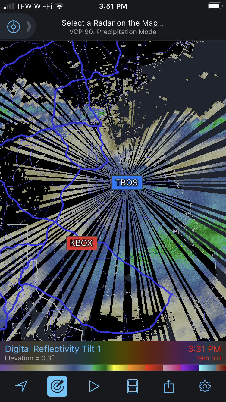
Ignoring the awful imagery from the TBOS radar, here’s the approximate locations of both. The actual TBOS radar might be more in Rockland as it resides on the former South Weymouth NAS that occupied parts of Weymouth, Rockland, and Abington.

-
On the Taunton/Norton line.
-
Sheets rains right now. Just awful.
-
You might be right superstorm. I have no idea how old it is.