Disc
-
Posts
4,052 -
Joined
-
Last visited
Content Type
Profiles
Blogs
Forums
American Weather
Media Demo
Store
Gallery
Everything posted by Disc
-
Like I mentioned earlier, before everyone gets carried away cheering on the amped stuff, this is what you get. Canadian did something similar hinting at low pressure sliding up into West Virginia. This is enough to draw in warmer air aloft. Ok yes, gotta sniff the mix to get the good stuff, but do you wanna be sniffing the mix 3 days out?
-
I still wouldn't want to cheer for more phasing as that will introduce a lot more mixing issues. We saw that scenario a day or so ago with some models taking the primary into TN and KY, then doing a hop to the coast. The 18z Euro has hints of this with lower MSLP into WV. The 12z run has much less evidence of this. Just something to keep tabs on moving forward.
-
Could be too much of a good thing and then most/all of us mix. I kind of hope it's about at its ceiling now or we're gonna have people cliff diving.
-
My gut is we mix eventually down here, but that initial hit is gonna fall hard and fast. Looking at some output from the Euro, it's got about 16" in 12 hours for us. I just don't want another bump north on the euro or it's 6 inches of sleet.
-
The heavier initial thump comes as all snow for us down here. Lighter precip seems to be a little more mixy.
-
1996 I believe. 30 something inches over 2 days.
-
QPF went nuts on this run.
-
It's beyond folks-worthy across Central and Southern VA so far. Historic really. Widespread powder up to southern PA.
-
I'm used to seeing those percentages across SE WV for upslope snow totals of like 6", not areawide exceeding 12" LOL. Hard to believe, but the writing on the wall is becoming more clear that this could be a storm to remember.
-
13z NBM Probabilities of 48hr snowfall exceeding 12" Washington: 66% Baltimore: 59% Hagerstown: 50% Fredericksburg: 70% Winchester 58% Charlottesville: 75% Leesburg: 58% Richmond: 75% Roanoke: 70% Lynchburg: 75% Norfolk: 52%
-
You can have warm layers anywhere from about 700mb and lower. So the best way to find out where a warm layer is, is by looking at model soundings.
-
This is good. This is very Euro-like. These piece here grabs our Baja SW.. and boom.
-
AIGFS looks fine, if not better. Shouldn't cut as much, if at all. That favors less crappy mixed precip.
-
Yep, doesn't bring it all across like the Euro, but certainly a step in the right direction. I call that a win.
-
ICON with a more favorable SW progression so far. Should not be as suppressed.
-
Actually way more amped and cuts NW. Looks like AI GFS.
-
UKEMT more favorable with the 5H wave. Brings it east. Should be a good hit.
-
You should believe it. That's a VERY strong high pressure. Suppression here is the main threat to our snow chances.
-
18z euro nice and amped. Faster too. Snow already falling across much of the area by mid-day Saturday.
-
A definite shift south from 12z GEFS. Too much cold!
-
18z GEFS pushes the SW further east. Looks better than the op GFS already.
-
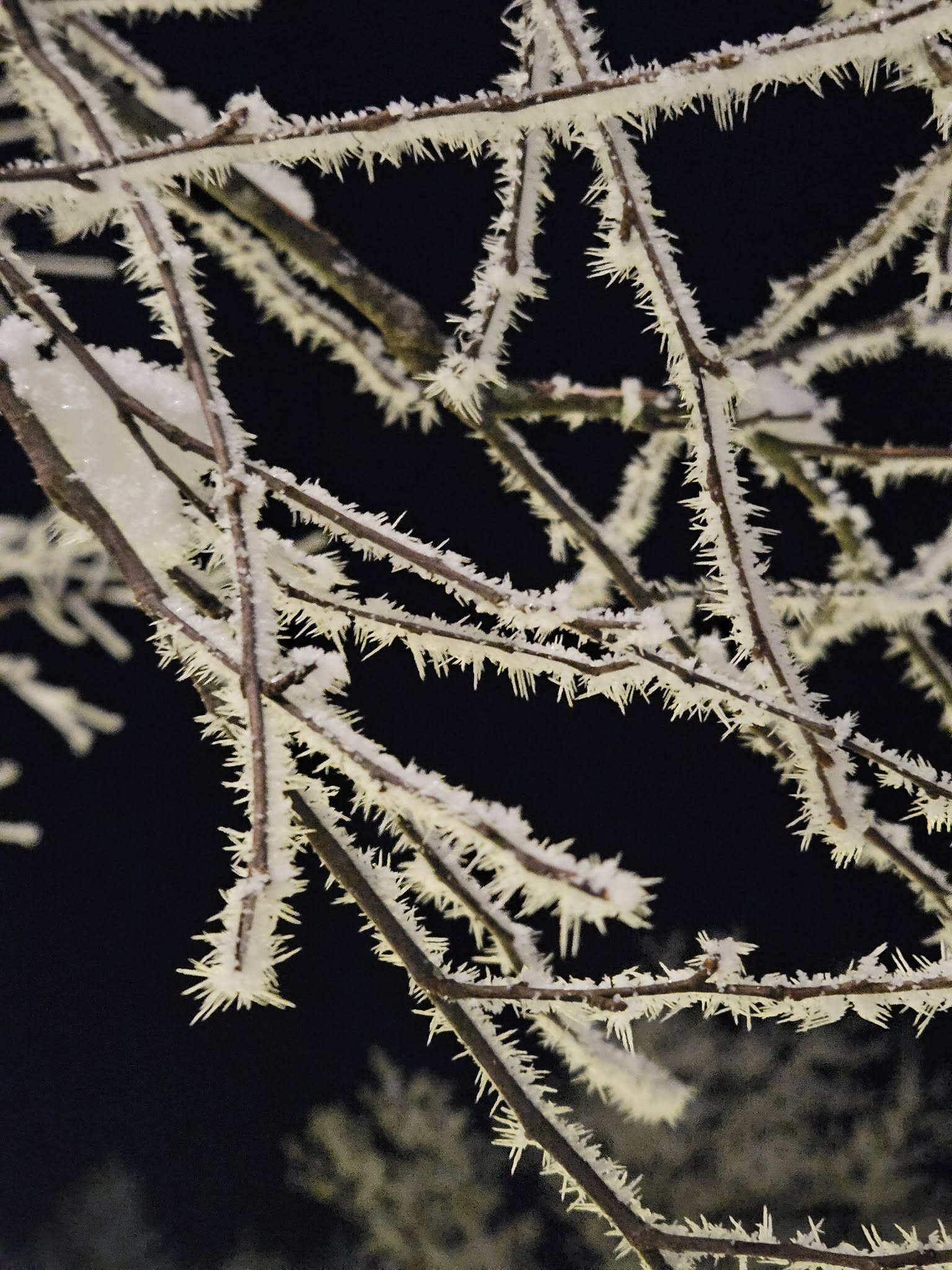
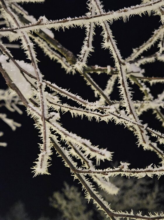
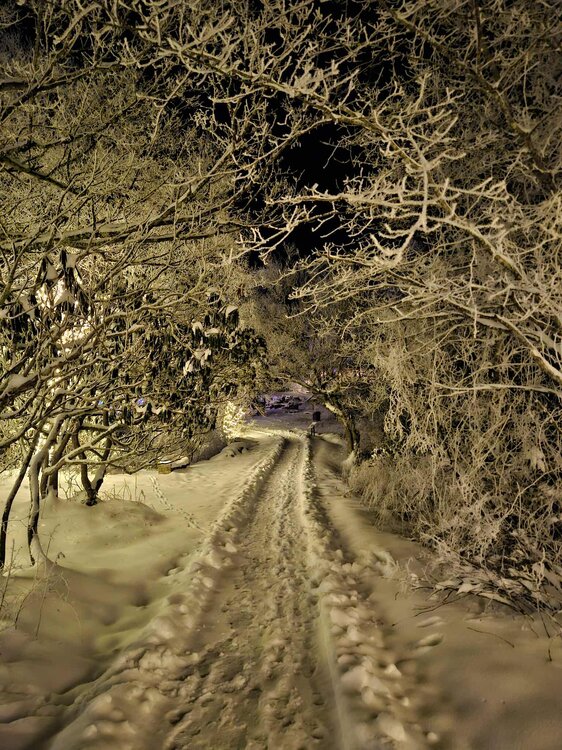
Took a trip up to Mountain Lake in Giles Co and easily 6 to 7 inches of powder on the ground. Lots of rime ice all over everything and temps were in the low 20s with no wind.


- 604 replies
-
- 22
-

-

-
It's an equation for summing all of the projected snowfall for a given forecast period, along with accounting for compaction.
-
Rain for the past hour or two has finally now begun its transition to snow here in Blacksburg. Once it goes to snow, it'll come down fast.
-
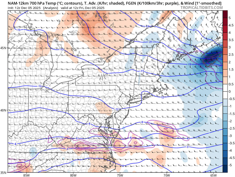
This has been a rather tough forecast, mainly due to the fact that this will be developing directly overhead. However, it's hard to ignore model trends across southern Virginia and the NC mtns. I am now beginning to wonder if this will just begin as snow for most, considering the current observations are running a bit colder than what guidance has been showing. If it does begin as snow, I expect some of the higher totals to verify. One thing I have noticed is somewhere across central/southern VA, some mesoscale banding will likely produce some efficient snowfall rates. This is noted in a band of stronger FGEN running west to east as pictured below. Rates within this zone will likely see 1in/hr at times. NBM probabilistic guidance supports this with an area of higher probabilities across southern VA/NW NC. Based on 01z NBM of 24hr snowfall greater than 4.0 inches is now at: DAN: 60% ROA: 80% LYH: 80% TNB: 70% A very sharp drop in probabilities occur along and south of the VA/NC border. However, probabilities for at least 1.0 inch is around: GSO: 60% RAH: 40%