

dendrite
-
Posts
73,528 -
Joined
Content Type
Profiles
Blogs
Forums
American Weather
Media Demo
Store
Gallery
Everything posted by dendrite
-
Gotta make sure they use it all to prevent those budget cuts
-
Loving the tenor this month
-
Ditty up to 33.9 after falling to 33.1. It’s really rate dependent so accums will be sparse. It all moves out before we can advect the widespread freezing temps in
-
Yeah that’s a potent little s/w down there…just not enough in time for up here.
-
Just going by the swarm of mPing obs
-
Most of SE NY has flipped
-
I mean you can just see the doughnut holes on ENX and BGM while OKX has bands overhead back there.
-
Yeah I said earlier if anyone has a shot at whitening up it’s you…elevation and being more east. But I think anything west of POU is virga right now.
-
A lot of that is virga
-
I mean, would it even snow in SNE anymore if we kept DST year round?
-
Unfortunately the east coast drives the media narrative. Outside of the megalopolis there be dragons. Is the DJF one out yet?
-
39° with some rain and sleet High was a brief 42°
-
So 5 warm days this March takes a letter grade off of winter, but an F for the entire first half of 14-15 still results in an A at the end.
-
Slow start too…pissed away the first half of winter.
-
What was your grade for 14-15?
-
Only 415 days until May 1st 2027!
-
Post of the year so far!
-
I mean if you’re going to flip a switch from cold and snowy to legit spring/summer mid March is the time to do it. I don’t understand how you can lower a winter grade a whole letter for these last 5 days when we’re approaching the 18th hole. But to each their own.
-
I think it raised my grade
-
Picking up where we left off
-
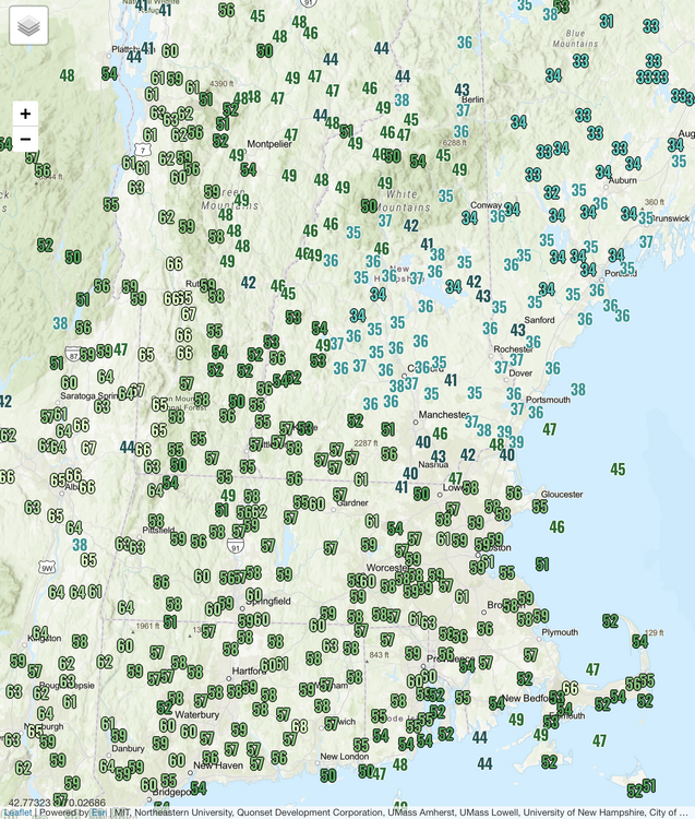
Max temps since midnight…can’t wait for wedge season to be over.
-
Def wait for him and brush it by Will too.
-
Yeah you stayed wedged. It’ll spike up a bit when you mix out with the cold front later and then it will start dropping again with the cold air advection.
-
34° Temp barely moved all night
-
I think if anyone sees a half inch it would maybe be Kevin. But yeah, looks like mostly coatings at best imo.


