

michsnowfreak
-
Posts
18,287 -
Joined
-
Last visited
Content Type
Profiles
Blogs
Forums
American Weather
Media Demo
Store
Gallery
Everything posted by michsnowfreak
-
I would say the northern half of the lower peninsula is where you can really count on solid snowcover most or all of the season. The southern half of the lower peninsula is just too prone to occasional thaws, though once in a while you can get snowcover the entire Winter and then some (ie 1977-78, 2013-14). On the flip side the Great Lakes help ensure that even in the suckiest winters there will be plenty of snow chances. The extreme feast-or-famine scenarios that are possible in the northeast are far less likely here. That's why I love the years with good snowcover retention. It makes the Winter seems so much more harsh. Last year is a great example. It started early, it ended late. Snowfall ran around average in the Detroit area to above average in the Flint area. I could guarantee you that if you asked any non weather person if there was a lot of snow last winter, they would probably say no, because the entire season alternated white and bare with no extended stretches. That's why I'm surprised so many people in New England (per this thread) are not big on snowpack. All it would take is one nor'easter and some cold air to keep that snow around for a long time.
-
That's a good point. Maybe there is more moisture available there? I remember when you lived in West Michigan sometimes you said it seemed like Southeast Michigan actually got more synoptic snow. I mean don't get me wrong obviously I have to live by synoptic snow so I never really expect much accumulation from the lake, anything more than an inch is a bonus. I know I don't live in a snow belt so I just consider it nice that the mood flakes are almost always there. A lot of times clippers actually get like a boost/recharge when they cross Lake Michigan so they can dump more snow on the eastern end of the state, I always call those Lake enhanced synoptic snow. Finding a place prone to huge synoptic storms AND heavy Lake effect snow is just about perfect. But you also have to be prepared for those times When 2 miles away may get 2' and you may get an inch.
-
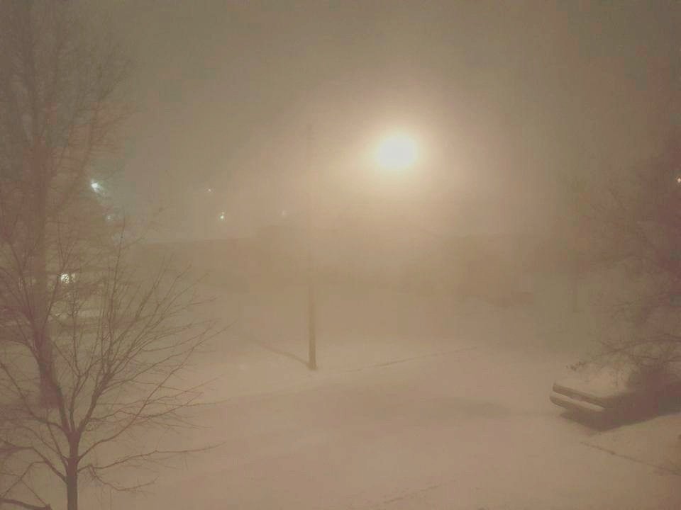
just awesome. id love to visit Watertown during an event. It is true that it settles faster, but it seems to settle faster during those tremendous lake effect storms because once the snowpack gets so deep it seems to need to really have a hefty water content to get deeper (like someone referenced earlier how Buffalo's 82" storm looked like 20" a few days later) If you get a few inches, yes it will settle down to like an inch but it will not disappear lol. For those lighter dusting type of events, winds are actually the enemy because they will help sublimate it fast. I was in the upper peninsula last February, they were forecast to get 3-6" of synoptic snow and the only got 3". Then overnight they forecast another 1 to 3" of lake effect I woke up and had about 7" of fluff on my car. That's daily life in the snow belts. One of my favorite things here is that following most synoptic snow events (except waa stuff), there are almost always lake effect snow showers on the back side. Though we won't see that much accumulation, it tops the snowpack with an incredible sparkle. If synoptic was a wet snow, the trees are plastered frozen in snow and everything glistens. A few pics I've taken. one was a heavy snow squall overlooking Detroit from the 17th floor of MGM, another was looking out my bedroom window one night. Its always funny to see people's reactions when the forecast is "snow showers likely" or "scattered snow showers" then they get stuck in a white out. And then on the flip side during a warned storm you may get 10" of snow but visib never drops below 0.25-0.5 mile.
-
Lake effect is amazing. I want to do a chase this year. I have never been in one of the really big events but I have been in a few decent ones in northern MI. What's so cool about it is almost every lake effect event is full of white outs, even the ones that don't make headlines. Even here outside the belts most of our winters will feature multiple whiteouts. They blow in-and-out so suddenly but the visibility during the brief squalls gets to near zero. For a few fleeting moments you're in conditions more extreme then the biggest synoptic storms. That's why being in one of those ungodly streamers that just doesn't move would just be incredible at how fast it piles up.
-
If I am not mistaken September is climatologically the sunniest month of the year here in the Great Lakes.
-
What was incredible in May is that it snowed on 5 consecutive days (May 8-12), complete with heavy snow and legit Winter wonderland conditions for a few hours each side of midnight May 10/11. As for October, historically it's a 50/50 shot for seeing the 1st snowflakes, however 7 of the last 8 Octobers have seen snow. Prior to that, 9 of the previous 10 Octobers saw no snow. So it's very hit-and-miss, lately it's been a hit. I generally say, and I mean it honestly, October is the month I enjoy all the fall color then November 1st let it snow. However any time there's temptation of seeing snowflakes in October, I get excited.
-
it's crazy to think that it's only been 3.5 months since I've had snow and the first flakes of the next season may only be 1.5 month away. I know, I know
-
Looking like average temps for September for the CFS in its "good" range. Welcome fall!
-
I notice there's no fall thread lol, so I will ask In here. Looking for help from Connecticut folks again. I know there is no exact answer, but people who live there are better than looking at those broad brushed often inaccurate maps online. I'm planning a 4 day fall trip to Willimantic. The area is so historic and I love history, so I want to do it close to peak color. When would probably be the best time to visit that area for the best fall color? Maybe my idea of "peak" is different than the official description, but they always say that average peak color in Southeast Michigan is mid or mid to late October, but lately it always seems to be late October. Likewise the trees don't seem to bloom until early and sometimes almost mid May. As if they slightly shifted later on each end of the growing season.
-
Oh there were definitely some crazy cold outbreaks, but the Arctic blasts (aka polar vortex) that hit the Great Lakes and Midwest in January 2014, February 2015, and January 2019 were unrivaled in severity from the mid 1930s to the late 1970s. Closest would have probably been January 1963. Again, there were certainly longer lasting Arctic blasts, I'm just talking about the severity of those. Even recently, Detroit set a more quirky record I guess you could call it, in that they went 13 consecutive days without seeing a temperature exceed 19゚ in late December 2017 through early January 2018.
-
These are all good points. On the one hand our low temps are "warming" more than our high temps (I use the word warming loosely, because it's not by much). But then on the other hand we've had 3 insane Arctic outbreaks since 2014, the likes of which we went about 45 years without a single comparable one in the mid 20th century. The climate will continue to change and evolve, but I could go on and on with dozens of examples of why winters are going nowhere for northern locations.
-
I follow climate change minimally but I've seen some of these ridiculous predictions since the 1990s, we've now hit a point where we're almost nearing the threshold of those predictions. Some garbage 1998 article said that by 2025 or 2030 temperatures would warm some outrageous amt. Which of course they have not. If anything the relatively minor sensible weather effects of climate change in the northeastern quarter of the country should please many in New England because it seems that big storms are more frequent because there's more juice in the atmosphere. We saw measurable snow in 7 or 8 consecutive calendar months last Winter here, in a Winter that goes into the record books as way warmer than average. Also many areas most snowless winters tend to be long ago. Moral of this post isn't to debate effects of climate change, its to advise against unreasonably pessimistic scenarios that just won't happen. As it is, in many areas of the Great Lakes & New England, snow averages have been rising, not falling.
-
this is the time of year the speculation begins in earnest....but what will happen, nobody knows.
-
I usually take a few trips north in the Winter. I do know in recent years there have been a few thaws that stretched unusually far north, so not sure if that's what the locals are referring to. Admittedly I'm not as great a historian on snow trends for the entire state as I am for the Southeastern part of the state. Snowfall in the Lake belts are definitely increasing. Both snowfall and precipitation have shown somewhat of an increasing trend in Detroit/Flint. More Lake effect is wafting across to the East Side of the state, not to mention some storms seemed to have higher moisture contents. Winter temperatures have only warmed slightly so not sure what if that has to do with anything. I have heard that some of the places outside the lake belts in northern Michigan that I spoke of in my earlier post seemed to be getting less snow than average lately, so not really sure why that is. People in the Northern part of MI definitely base the Winter on cold, snowdepth, and ice thickness. And then of course there's the caveat that pretty much any place that sees snow with any regularity has to deal with, the old folks claiming it snowed more in their day. That theme song has gone on for hundreds of years lol
-
By the way, you've referenced "your model". what model are you referring to?
-
Summers back, i.e. heat, is definitely broken, but it does appear to be some time before true fall weather settle thin. Not sure what early indicators you're referring to, but actually a weak la nina typically features a mild fall followed by an early onset of Winter. I have a good feeling about the Christmas season this year, but very on the fence about what happens after the New Year. I researched weak La Nina winters here and the signal for a snowy December is as strong a signal as I've ever seen in an analog set, but after new years there's a large variety.
-
I'm sure they don't mind as popping in lol, I always check here for the 1st discussions about Winter in late summer lol. It's refreshing to have these conversations again. Michigan is full of microclimates, and not just talking about the well known Lake belts. From a simple snowcover perspective it's very latitude based, so someone who does not pay attention to the weather or the depth of snow and simply goes by if the ground is white, they would probably assume snowfall is very south to north gridded. But that's oh so wrong. In terms of actual snowfall over the course of a season it's crazy how variable it is. Detroit's northern most suburbs, which sit at a higher elevation, average more snow fall than anywhere to the N,S,E,W. They actually average more snow than a portion of north central & northeast lower Michigan, as well as the banana belt of the upper peninsula ( such as Escanaba or Menominee). Detroit average 43" and Flint 48", Detroits northernmost suburbs which sit smack between those 2 sites average near 60". Parts of the thumb near the shoreline average significant snowfall but on the West side of the thumb, you will again see less snowfall than actually Detroit sees. The Marquette official observations come from Negaunee, it is literally the next town over but at a much higher elevation, averaging almost double the snowfall that downtown valleyed Marquette city averages. There are off the grid locations in the middle of nowhere on the Lake superior shoreline that can easily see 300+ inches of snow per season, but these are places where literally no one lives and only the most daring snowmobile or will venture to. If you were to travel West to East across northern lower Michigan, talk about variable snow fall. Traverse City is a pretty good area for heavy snow, but then you get into Gaylord and you're talking the heaviest snow in the lower peninsula, continue on East to the South of Alpena and you're into another banana belt of sorts. I've never seen a detailed enough map of Michigan average snow fall that is to my liking lol, but what else can you expect in the Great Lakes.
-
I agree 100%. Me personally? I would take a cold Winter with average snow fall and nonstop snow cover in a heartbeat over I miles Winter with above average snow cover and frequent thaws ( Of course I would certainly take the latter In many other situations lol). Obviously my preference is for every Winter to be like 2013-14, but I know that is completely unrealistic. It's one thing for wx weenies to want snow all the time, I get that, but it really does seem that many weenies have very unrealistic expectations of what Winter should be. I could probably go to each subforum on and review an average Winter and the posts would be 90% negative. As for the non wx public? Of course everyone recognizes a historic severe winter like 2013-14 or ratter like 2011-12 for what they are, but outside the extremes, my observation of the general public here in SE Michigan is that they rate harshness of the Winter based on how often snow was on the ground and how cold it was more so than how much snow actually fell. After a mild winter that's dominated by freeze/thaw, snow/bare cycles, we could easily tally above average snowfall but the public would say "we had an easy Winter" or "we did not have a lot of snow this year". Likewise, after a cold winter with average or below average snowfall they would say "it's been a long Winter" or "we had a lot of snow this year".
-
I'm just surprised to see below average snow fall under the assumption of a la nina Winter. In much of the midwest, Great Lakes, & New England, temps are just a small piece of the puzzle of how much snow the season will bring. Last Winter was such a mild Winter yet we finished with average snowfall because it started early with a record November snowstorm and ended late with snow through Mother's Day. Just because you see stretches of midwinter bare ground does not mean the snow that has fallen doesn't count lol. Likewise some of our coldest winters saw average or below average snow fall.
-
I saw JB's temp map (he must be going for reverse psychology)...anyone have weatherbells precip map for the winter? And I notice cosgrove is obsessed with pointing out its NOT a La Nina....i assumed the expectation was Nina was to develop in Fall?
-
I'm ready for fall that's for sure. By Halloween time is when I get ready for snow. I'm in Southern Michigan, however when looking at the weak La Ninas, it's uncanny how strong the signal is for a snowy December.
-
Yes it was. Most would work for me.
-
are you seeing a snowy start to winter in the Great Lakes? ala weak nina
-
I would love to have an average fall. I am so so so over summer. Detroit had 14 days of 90+, which is not far from the average of 12, but the persistence of heat from mid June to July was impressive. Adding to stebos earlier comment, weak la ninas often have mild autumns followed by Winter hitting early and hard (with the 2nd half of Winter more up in the air).
-
Who used that unusual line? I'd be safe, but again, some bold predictions for so far out.


