

mississaugasnow
-
Posts
1,237 -
Joined
-
Last visited
Content Type
Profiles
Blogs
Forums
American Weather
Media Demo
Store
Gallery
Posts posted by mississaugasnow
-
-
10 minutes ago, Snowstorms said:
I agree. The first time since 2022 where it's felt and looked like winter for an extended period of time.
I was bored so I looked at the total snow accumulations at North York (where EC is headquartered). North York began recording data in Nov 1994. I compared it to YYZ to see the differences in amounts. Let's just say YYZ is an actual joke and this whole "nipher" thing needs to be abolished. The ones in red font below are where YYZ recorded more snow than North York. The ones highlighted in blue are the exceptionally below normal winters and the ones in orange are the exceptionally snowy ones. Winters like 2000-01, 2007-08, 2008-09, and 2013-14 stand out like sore thumbs. Consequently, North York has averaged 50.9" over the last 29 winters vs. 45.2" at YYZ.

Interesting data. I think EC is right off the hwy about 5km east of the airport so that could be the cause of a bit of it.
The size of GTA means it's going to be difficult to get a good representation of the city. Everyone south of QEW-Gardiner has a much different climate. They all got nearly nothing and had no snow on the ground until today. Next zone is QEW-401 and then 401-407 and 407 north.
-
4 hours ago, Snowstorms said:
Total snoozefest next 8-10 days. And that'll pretty much take us until the end of January. Finally got some cold air and the storm production shuts off.
I'd say the pattern change was a semi-fail. We got two big storms in less than a week with nearly identical tracks but there was no cold air around for any substantial snow for most of us (minus parts of Michigan, Iowa, and Illinois). Kinda sucks. Hoping the last few days of the month, despite a potential warm-up, or February play out better.
I agree. The only plus side is it will finally feel like winter for 10 days. This might be the best stretch of winter for consistent snow cover.
-
9 hours ago, Snowstorms said:
Yeah I still got a solid 3". I was at YYZ today to pick a friend up and there's about 2" on the ground there too.
Well aside from about QEW/Gardiner south most of us will have 10 days with snow on the ground
-
 1
1
-
-
4 hours ago, Snowstorms said:
Had 4.2" with that initial banding before it switched over to rain. YYZ recorded 2".
Did any snow make it thru the night? My parents on the lakeshore have nothing and mostly saw a mix with only a little bit of snow
-
Just now, michsnowfreak said:
Absolutely gorgeous outside. Three inches and counting of extremely heavy wet snow. Probably 5-1 ratio
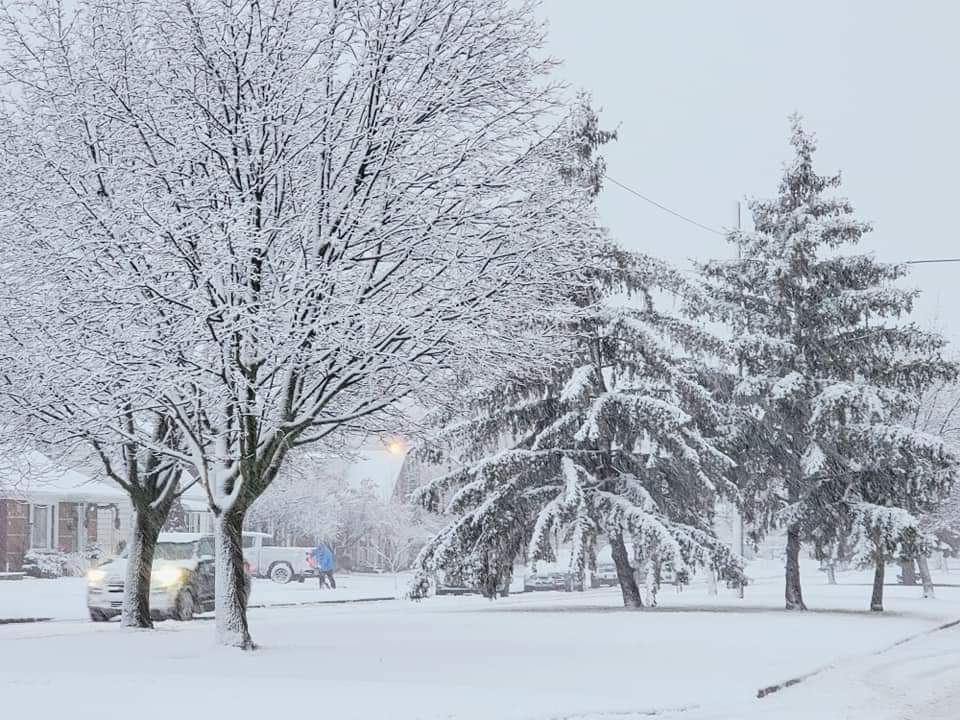
Amazing photos
did you guys have Virga to start?
-
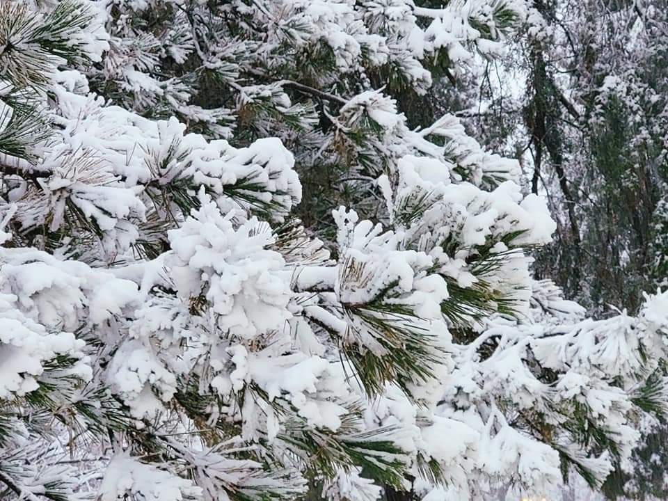
Nothing but virga
wasting the heavy returns
-
6 minutes ago, nwohweather said:
NWS Cleveland needs to get WWA's up ASAP. The snow is far more entrenched along the lines of what the GFS showed than what they predicted. Tough call, but I think 3-4" is capable. It's definitely extremely wet, heavy snow
Did they expect anything down there?
-
Just now, Owensnow said:
Umm HRR cancels the snow for us and far SEMI
RA
next please
has it started down there yet?
-
40 minutes ago, michsnowfreak said:
Good sign for us to your north!
I'll be following the reports from NW Ohio and your area close to see what happens on this side of the border. Good luck, hopefully you guys get some sweet rates for a while
-
So someone 15 years from now will be confused a bit looking at the data haha
-
1 minute ago, TheClimateChanger said:
Well, I'll grant you 2006-07, 2011-12 & 2015-16 were generally milder winters for much of the region. 2009-10 was very snowy for most, however. As far as questioning the validity, I'm just going by the complaints of the locals from that era. Truthfully, I didn't put much stock in their complaints since I assumed they were just denying reality.
Ya 09-10 is looking similar to this style of winter so far
Toronto just missed out on that east coast storm that have Rochester and Syracuse 6-12” and is missing this one that’s giving Chicago one
-
3 minutes ago, michsnowfreak said:
Yes, indeed. April 06, 1886 took a non memorable winter and made it live on in local lore. My reference to stat padding was agreeing with snowstorms that November and April snow usually does not last long. I actually hate the term stat padding, but I know the context in which it's used on here lol. But again, my point was that it still counts towards the season total. A less extreme but more recent example would be the November 11, 2019 storm. Over 9 inches of snow which stayed on the groun 10 days. There are exceptions to every rule. Plus, the opposite of stat padding would be those times when you get a 2" snowfall and it stays on the ground the next 10 days without any more measurable snow. It still only counts for 2 inches in the record, but you got to enjoy 10 days of a wintry look.
So many different aspects to winter.
I think you guys generally do better in April storms for some reason. Our April snowstorms are rare but when they do happen disruptive since it’s 1-2” snow 0.5” sleet and 0.10” freezing rain
-
1
-
-
8 minutes ago, TheClimateChanger said:
If I recall correctly, there was a lot of conversation here about the quality of the observations at Toronto during that era. Most locals said it was way underdone. That was probably one of the snowiest stretches on record for the Great Lakes region, so I wouldn't place too much stock in those numbers.
Nah those numbers are legitimate. We can also look at Toronto Island airport and Hamilton which tell the same story
-
1 minute ago, Snowstorms said:
5.5" at YYZ.
Good catch. But still very very rare and not really worth discussing April snow like it’s going to give us a legit winter storm. Similar to early November snowstorms
-
Though the GTA is so wide so I’m basing it off Mississauga/downtown Toronto
-
4 minutes ago, Snowstorms said:
An October snowstorm is incredibly rare. I think it's only happened twice since 1938 at YYZ. There's less than 1% chance of it ever happening. And April 2016 we saw a nice 6" storm here in Toronto. Had it not been for that storm, we would've finished only an inch above 11-12.
Officially I think that was 4” though that might calendar day
-
Main winter season in GTA with realistic chances at a winter storm are November 15-March 15
there’s the rare years a storm happens just on either side of those dates
Ive never seen a 6” April or October snowstorm
-
9 minutes ago, michsnowfreak said:
4 top 5 futility, yikes I would be as ornery as cromartie. I would definitely agree that nobody in the forum knows futility as much as Toronto (relative to their average that is). We've had futility months and we certainly have had undesirable winters. But this is why I constantly harping on the fact that regardless of how bad a pattern looks, when you live in a region that gets snow thru April, you just can't jump the gun early.
I do agree. I can’t speak for SE Michigan but April snows in GTA are more similar to the climo of November 1-15th
It can snow and sometimes does but most years it’s 1-2” events, so I don’t classify April as a real winter month in GTA/Niagara
just referencing that because you put a lot of emphasis on April snows lol
-
1
-
-
20 minutes ago, michsnowfreak said:
Oh top 10 is definitely futility. I'd say anything over 20" is just below avg. The lowest winter of my lifetime is Detroits 16th least snowy (1997-98, 23.4"), although I was in my mother's womb during 1982-83 lol (11th least snowy, 20.0").
Well I hope we both get a good front end thump today/tonight so we can go into the cold week with some snow on the ground
-
1
-
-
23 hours ago, michsnowfreak said:
Theres a difference between below avg snow & futility though. Feb Ninos tend to be a mixed bag snow-wise.
Would top 5-10 be considered just below avg to you or futility? Outside of those it's just below average year to me but a top 5 or top 10 least snowy winter is pretty bad
-
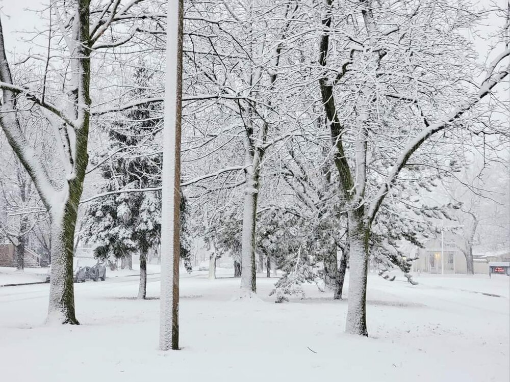
Today is another one. If you go to bed at 8pm and wake up at 6am you'll have no idea it snowed yet Toronto will probably record another 1-3" snowfall
-
16 hours ago, Snowstorms said:
Ya if we were above freezing up here, it would've been too warm for you down south then. And now we're both on the cusp of rain this year haha.
It all started since that 2015-16 super nino. I wonder if this will become the new norm or it's just an anomaly and we are still dealing with it's effects (i.e., WPAC warm pool).
When's the last time we saw so much vanishing snow? Toronto is up to 5" on the month but it's a lot of events like yesterday where it melts within a few hours of falling. Im still pretty convinced top 5 least snowiest season is very doable but we keep seeing 0.5-1" days haha
Ill have to check data again but I believe top 10 in the last 90 years is a near lock
-
58 minutes ago, Roger Smith said:
DTX-YXU-YYZ all same forecast problem, in warm advection period Friday to late o/n, is it sleet, wet snow or rain and snow mixed?? .. urban heat islands will tend to reduce lying snow in metros, would look for 2-4" totals in cities, 4-6" in rural areas, leftover lake effect top ups but snow belt areas will see 6-12" top ups of 8-12 in storm snowfalls for 14-24" totals. For DTX-YXU-YYZ best idea is to warn of moderate snowfall potentials in cities and bad to impossible driving conditions by tail end of storm in snow belt areas to n and w. Snow 10-15 cm potential north of about hwy 7 in s ON, only 2-5 Niagara, 5-10 GTA, but this could bust on high side if warm advection is weak (never seems to happen in current climate).
Deep winter is coming, GFS gradually edging towards Euro solution, but in Euro solution you get trade-off of sure blizzard west, sure warm advection mostly rainfall east, so it's a tossup in DTX-YXU-YYZ zone, I would predict along lines of "intervals of rain, sleet and snow, accumulations 5-10 cm" (2-4 in) and stress the travel problems to n and w of zone since it's a weekend and people will be inclined to plan travel in that direction (I would not want to be planning it, roads are going to be closed in snow belt areas by Sat afternoon-evening and returning south later on Sunday will be problematic even if one does get up to ski or cottage areas). I recall bad accident on 400 north of TO in somewhat similar storm march 18 1973, zero vis lake effect on icy snow-covered roadway, trucks piling into stalled cars, on a Sunday afternoon in southbound lanes. On said occasion, Toronto city mostly (1.0") rain, 1-2" snow, suburban areas 0.50" rain, 5" snow, snow belt 8-12" snow.
Thank you for the write up. Should be an interesting afternoon now casting as the GTA and Detroit are right on the line
-
1
-
-
The GFS continues to show that heavy snow band for Detroit-Toronto for a few hours.
Winter '23-'24 Piss and Moan/Banter Thread
in Lakes/Ohio Valley
Posted
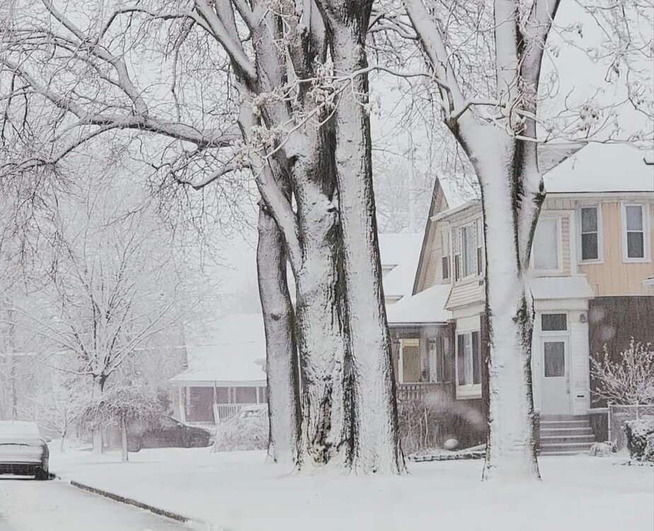
The actual downtown of Toronto sees a similar climate to Toronto Island. So even using YYZ skews it higher for those in DT-Mimico-Port Credit-Oakville-Burlington
If YYZ reports a lot less compared to the Island then I might start to think somethings wrong. But the way airports measure and where they are located has always been a thorn in the side of the weather community lol.
Look at Buffalo airport. Its NE and doesnt represent the City or southern part that well in lake effect. Nor does it represent the temperature in spring and fall