

Terpeast
-
Posts
5,360 -
Joined
-
Last visited
Content Type
Profiles
Blogs
Forums
American Weather
Media Demo
Store
Gallery
Posts posted by Terpeast
-
-
3 minutes ago, Stormchaserchuck1 said:
AO sure is rising to positive pretty fast.. Maybe it's moving from -5 to 0 so fast that we will see a snowstorm around the 20th

By the way, this pattern is in the N. Atlantic for the mean of the next 15 days..

When I rolled the February analogs ahead to March, they seemed to reverse.. notice the +AO/+NAO signal for March

Give me one more storm on the 20th, preferrably a MECS+, then bring on Spring. Would have no complaints about that.
-
 3
3
-
 3
3
-
-
Hope yall got your jebwalks and took your kids (if you have any) out earlier today. Now it’s gross
-
2
-
-
Just now, LeesburgWx said:
Is it the 15z Euro now though?
Nope, still 12z as they don't assimilate any new data beyond their originally scheduled run
-
1
-
-
Just got word that 12z euro is now running and should be done in 1 hour... THEN they will release the data, so it may be a while before we see the images
-
1
-
 1
1
-
1
-
-
-
7 minutes ago, gymengineer said:
I am 100% positive it was not the blizzard of 96. This news article describes the exact Friday night broadcast where he was the first to declare that we would be seeing a top 5 storm for DC. He later described in the annual NBC4 Weather Almanac that he had seen the latest ETA run and came to that conclusion.
https://washingtoncitypaper.com/article/454114/will-the-weather-be-the-same-without-bob-ryan/
"As the blizzard of ’96 (still the third-largest three-day snowfall in recorded D.C. weather history, despite Snowmageddon and its ilk) approached, Ryan was getting punchy. A day or two before the snow arrived, I was home from college, watching the news with some friends in one of their parents’ basements. I don’t remember exactly what Ryan said, and I haven’t been able to dig up any video online of the broadcast I have in mind, but 17 years later, I still remember marveling at the tone he struck on the air that night: One part alarmed, one part a little overwhelmed, three parts very, very, excited about the weather we were all about to experience."
Maybe I got it mixed up with another storm. But I do remember a major double digit storm where Bob Ryan went low and stayed low, it was almost like he totally disengaged from it all.
-
8 minutes ago, bncho said:
if the status page is down then i think we need a status page for the status page.
On a separate domain
-
1 minute ago, clskinsfan said:
Pretty epic winter for Southern Md. Congrats.
Yep, this seems to be a S&E winter with the exception of the Jan 19 storm. I have almost 17" on the season by comparison, with just a few inches to go before hitting climo
-
1
-
-
1 minute ago, Chris78 said:
I think it was 96 he was sticking with 3 - 6 about 24 hours before when everyone else was going 2 ft.
It may of been one of the other HECS but I'm pretty sure it was 96.
It was 96. I stopped listening to Bob Ryan after that.
-
Euro having issues again, and its worse this run. Status page is also down
-
 1
1
-
-
That's certainly FOLKS worthy. Feb 2015 is looking like a decent analog at least for THIS run.
-
5
-
-
54 minutes ago, psuhoffman said:
Care to share? lol
Don't want to get anyone's hopes up, but I saw 2/5/2010 for 6-10 day and 2/14/2015 for 11-15. That's just from 00z today
-
2
-
1
-
 1
1
-
 1
1
-
 1
1
-
-
Snizzle, 30/28. Not expecting it to add anything to my totals.
-
It's gonna change the next run (and the 50 runs after that)
-
6
-
-
I'm interested. Some good analogs popping up here.
-
3
-
-
Just now, aldie 22 said:
Didn't you catch the early afternoon panic on here? Apparently on FB Bob got spooked the Hrrr and said the warnings for DC might need to be reduced to an advisory and was calling bust. CWG started doing it as well...even you got shaky like
")
Didn’t catch the Bob part. There were so many folks posting haha
I stuck with my 3-6” call here though, and also pointed out that the HRRR trended wetter at game time
-
1
-
-
15 minutes ago, aldie 22 said:
Damn i nailed this sucker on the nose....yay me! Bob Ryan can suck it
Bob’s still at it?
-
1 minute ago, North Balti Zen said:
That’s true (but last sentence varies wildly by location lol)
Fair. Was mainly speaking for DC metro (and also is true for south and east)
-
1
-
1
-
-
21 minutes ago, dailylurker said:
What a fantastic storm. The ratios were great, the rates were great, and the temps were cold. I'm eyeballing at least 6". Ive reached climo here. It's been a fantastic winter so far. Let's keep it going!
I’m only a few inches from climo imby and we may have another shot by next weekend. This winter has exceeded many expectations.
-
3
-
1
-
-
12/24: 0.1”
1/3: 0.3”
1/6: 7.6”
1/11: 1.3”
1/16: 0.5”
1/19: 2.0”
2/8: 0.1”
2/11: 5.0”
Season total: 16.9”
-
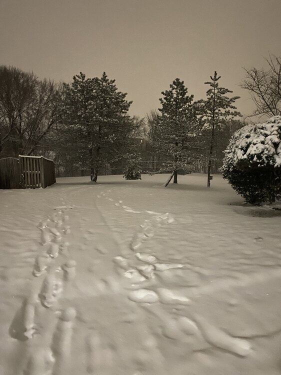
Looks like another inch had fallen after I went to bed. So 5” total with compaction. Warning verified.
-
4
-
-
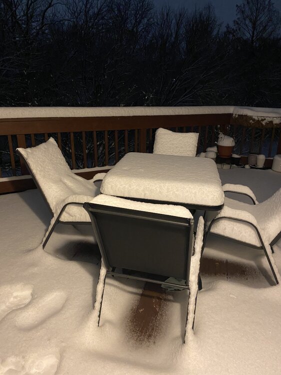
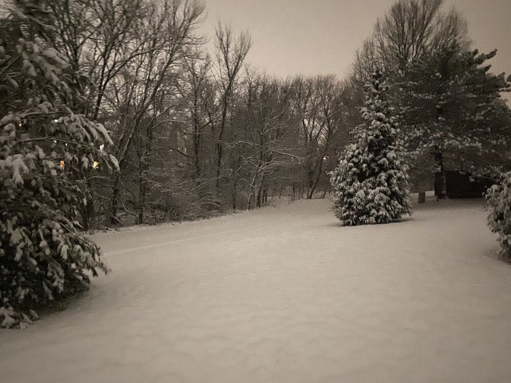
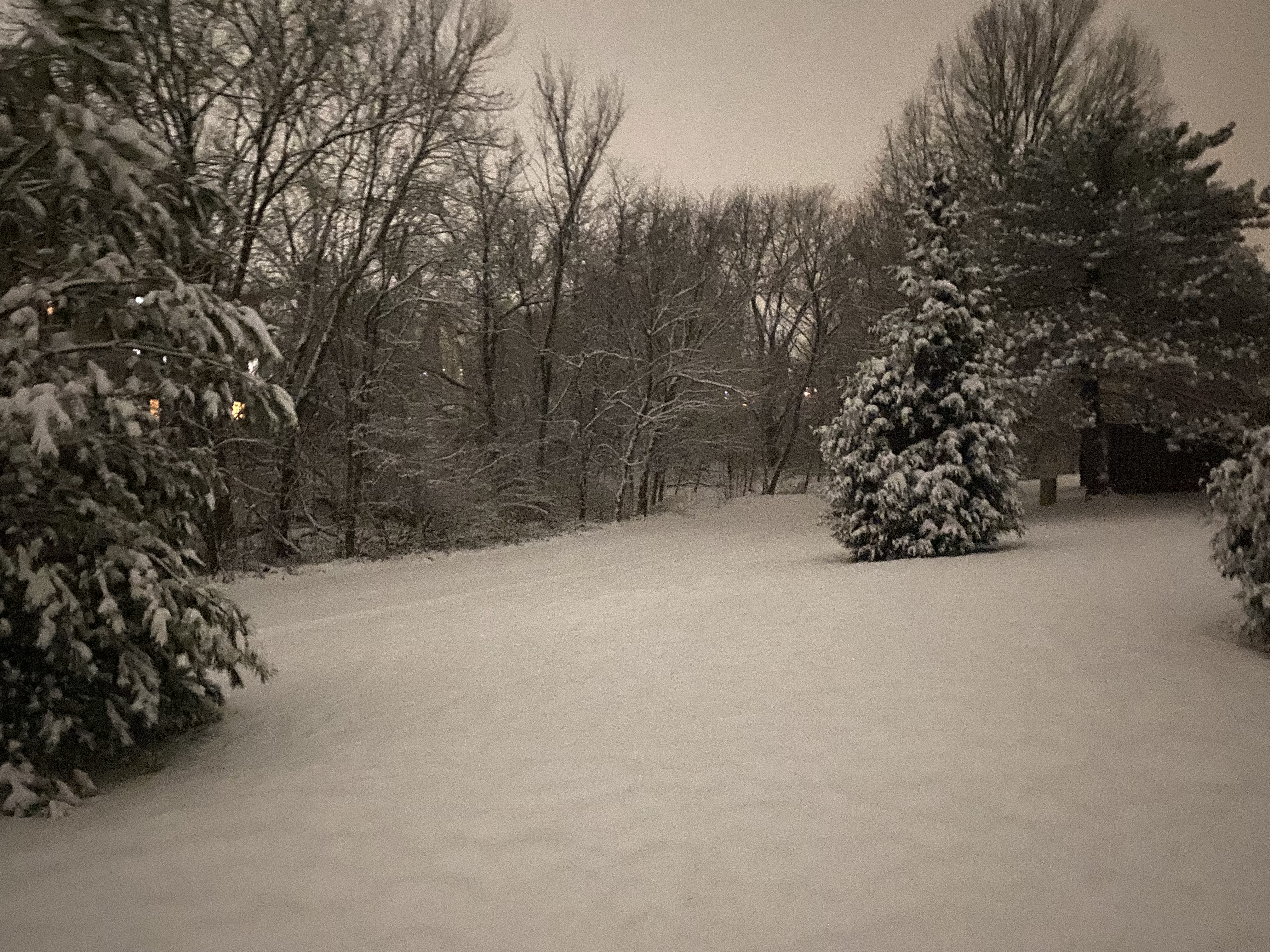
Great storm everyone! Heading to bed with 4.5” or so and snowing lightly.
-
5
-
-
Just measured 4.2”
-
3
-
-
-
18
-
1
-


February Medium/Long Range Thread
in Mid Atlantic
Posted
AI models, being underdispersive, tend to latch onto a solution early on. It’s great when they get the storm track correct. It’s an overconfident whiff in other cases where they get it wrong, though. Other than not being based on (and constrained by) the laws of physics, it’s one main weakness of AIWP models.