MANDA
-
Posts
3,200 -
Joined
-
Last visited
Content Type
Profiles
Blogs
Forums
American Weather
Media Demo
Store
Gallery
Everything posted by MANDA
-
Think the AVERAGE will be 10 to 11:1. Will start higher and end perhaps a little lower than 10:1.
-
Pretty broad ranges but I think most places will fall into those ranges.
-
I could be wrong but I disagree. Don't see that much QPF to generate 10".
-
I realize that but I still don't see 10" for this sub forum. We'll know for sure in about 18 hours.
-
I agree except I don't see 10" amounts in this sub forum. Holding firm to my forecast of 3-6" for my area. See nothing to make me want to change it.
-
Very few times I saw grocery store / supply chain issues. The BIG ones. Blizzard of 96 stands out as it covered large area from DC to New England and trucks were stopped and roads were clogged for 1-2 days after the storm. March 93, same thing. Sandy was another. These "little" storms are an and inconvenience for a few hours. We have enough leftovers in the house right now to last a week. I wouldn't go near a grocery store today if I was down to my last can of soup. Really takes a massive storm to disrupt an area these days. The larger of an area it affects the more likely it is to be disruptive to supply chain. We don't live on the plains of Kansas in 1930...we will make it for a day without being able to get to a grocery store. Just nuts all the panic and mad rush.
-
Company has gone, dishwasher is running and fireplace is still going. Just getting caught up. Nothing over the last 6-8 hours has led me to change my forecast for my area. Still going 3-6". The 3" covers if NAM has a clue and we get mixing out here and the 6" covers .50" liquid at a little over a 10:1 ratio. Feel confident in .40" - .60"qpf. do with those numbers as you wish. Don't see widespread over 6" amounts with the possible exception of the extreme northern fringes of this forum, even there 6" with a few isolated 7 or 8" amounts would be the upper limit, I think. We'll see how it goes. Good luck to all.
-
Totally agree. Wish they would just pull the plug on that thing. I still maintain though that the ceiling on this is 6"....exactly where that might be reached over this forum remains to be determined. I'm going with 3-6" for my area as of now. Merry Christmas !
-
Agreed. Reminds me of the good old days.
-
Post some pictures if you can. Should be really nice. Sand in the bags really helps against the wind.
-
I think 6" is the ceiling with this event around here. We're not getting 1" of liquid out of this and ratio's are not going to turn .5" liquid into 10" of snow. And that assumes there is no mixing or taint. Just don't see more than 6" from this as a top number.
-
 How much you get at your location?
 -
Southern tier from the plains to the southeast is torching. Stronger than expected and retrogressive blocking saved the day for the norther tier from the northern plains east into New England and south to about the Mason Dixon line keeping us near normal or slightly below normal. Without that block some of that warmth would have easily spilled into our area. We got lucky, no Christmas torch this year. Longer range (yeah, I know longer range) is looking foreboding in terms of Arctic Cold. EURO going full bore.
-
Finished with 2.5" here. Really came down good for about 2 hours after my last post. I would have to give this an "over perform" at least based on what I was expecting. Was thinking 1 to maybe 2" here but even overshot the 2".
-
Nice snowman ! Bummed you will be leaving the area.
-
There is an extreme cold pool over western Canada and all of Canada has deep snow cover. This cold pool will not modify anytime soon. Get some of that on a favorable trajectory over snow covered ground and it could get seriously cold around here as we move toward or through the first 10 days of January.
-
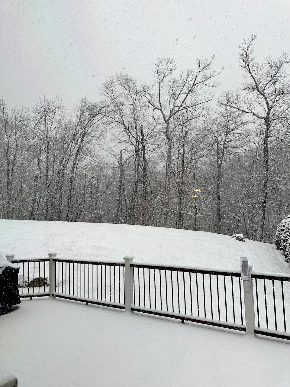
30 degrees. Just measured 1.2”. Moderate snow ongoing. 78819674661__AF54E413-0C78-4150-BCBB-133BE39C69FE.MOV
-
Some of my old stomping grounds. That garden center (family owned) has stood the test of time. All of the others in the area sold out to developers. I suppose this one will as well at some point. Great place and nice people. Nice picture in the days before Christmas.
-
Been a while since the coldest air in the hemisphere has been on our side of the pole. We’ll see how things play out as we move through early January.
-
Anyone check out the cold over NW Canada? Currently -40's to -50's F over Yukon and NWT. Even a few spots at -60F currently. Mid to LR forecasts continue to build the cold over the next week. Where it goes beyond that is the question. Does it stay bottled up in Canada and slide more east than south or does in make a run south into the U.S. either is pieces or a large Arctic plunge? I think all options are on the table but something worth following.
-
Hideous.
-
When I'm wrong I'll admit it. I was not expecting this 10-14 days ago for Christmas week. Was expecting a relaxation of the cold but nothing like this nearly coast to coast torch. Euro EPS did well sniffing it out. GFS was not even close to reality. I was expecting a relaxation of the cold Christmas week but then a return to significantly colder between Christmas and New Year's. Not happening.
-
Nice! SE New England is hurting some though. Would love to see the same chart for the same date last year. We're off to a good start so far. Past performance is no indication of future results though.
-
I don't care what anybody says. That is impressive and was well advertised. We'll see where the month actually ends.