
Lava Rock
-
Posts
12,803 -
Joined
-
Last visited
Content Type
Profiles
Blogs
Forums
American Weather
Media Demo
Store
Gallery
Posts posted by Lava Rock
-
-
lol, northern ME was frcst to get a trace-0.1" and they'll probably get more than we got (.016").
-
0.16". Not expecting much today. Stein
Sent from my SM-S921U using Tapatalk-
 1
1
-
-
I hope we get more than 0.5" but not planning on it. Salivating seeing SNE rack it up. 2-3" would have been ideal64/56 Very light rain. Late yesterday and last night we had some nice downpours. Got .80". It's been dry today, a bit of sun earlier. Sprinkles resumed an hour ago, enough to wet the ground. 0.01"
Sent from my SM-S921U using Tapatalk
-
1
-
-
wtf, we're going to get porked hard.
-
 1
1
-
 1
1
-
-
Frcst less than 1". Shocking
Sent from my SM-S921U using Tapatalk -
feels like we're going to get porked up here. anything <1" won't do much. We dry.
-
swing and a miss at home with the line. start the clock over and maybe we'll get measurable in a week??? congrats to SNE on your monsoon.
-
 1
1
-
-
17 minutes ago, wxeyeNH said:
73/66F Well there goes that. After another shower last night the grand total from this system looks to end at .36". The showers and storms forming are south and east of my location. Unless something happens to the west it looks like this is it. Thoughts Brian? Hope to make 1" for August!
0.34" last night, 0.76" on the month. Funny how quickly things turn. lawn was real nice in June. Not so much now. With our annual BBQ party and band this wknd, nobody should be walking around in bare feet.
-
1
-
-
29 minutes ago, dendrite said:
Lol f off
grazed. did the chickens enjoy the distant thunder and sprinkle?
-
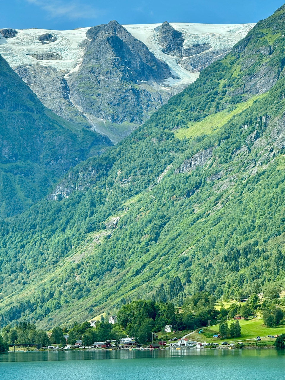
44 minutes ago, powderfreak said:
Another nice day in Vermont, under that Mount Mansfield glacier… the fabled Picnic Table Icesheet.

they must get some avalanches around there, no?
-
Pft. 0.34".
Sent from my SM-S921U using Tapatalk-
 1
1
-
-
0.10" won't cut it. Nice white caps on the lake.
Sent from my SM-S921U using Tapatalk -
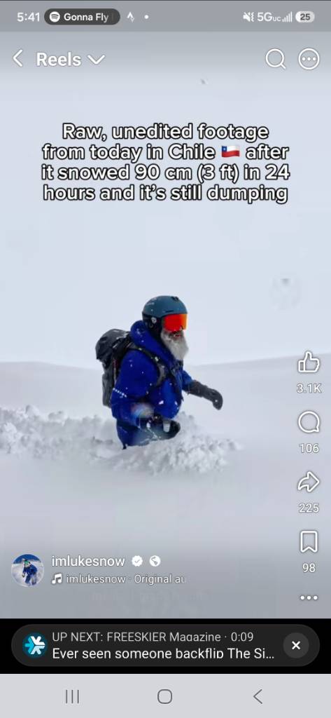
Lots o snow in Chile
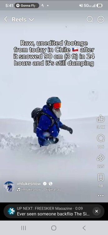
Sent from my SM-S921U using Tapatalk-
2
-
-
Whole lotta meh. 0.06"
Sent from my SM-S921U using Tapatalk -
69/48. Early fall like
Sent from my SM-S921U using Tapatalk-
 1
1
-
 1
1
-
-
Power back. 7hrs
Sent from my SM-S921U using Tapatalk-
3
-
-
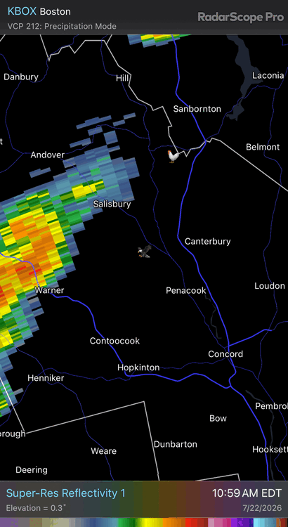
Lost power at home. Not there but radar looked like we got hit pretty hard
Sent from my SM-S921U using Tapatalk -
Very hazy, almost partial eclipse sky over here just north of Syracuse
Sent from my SM-S921U using Tapatalk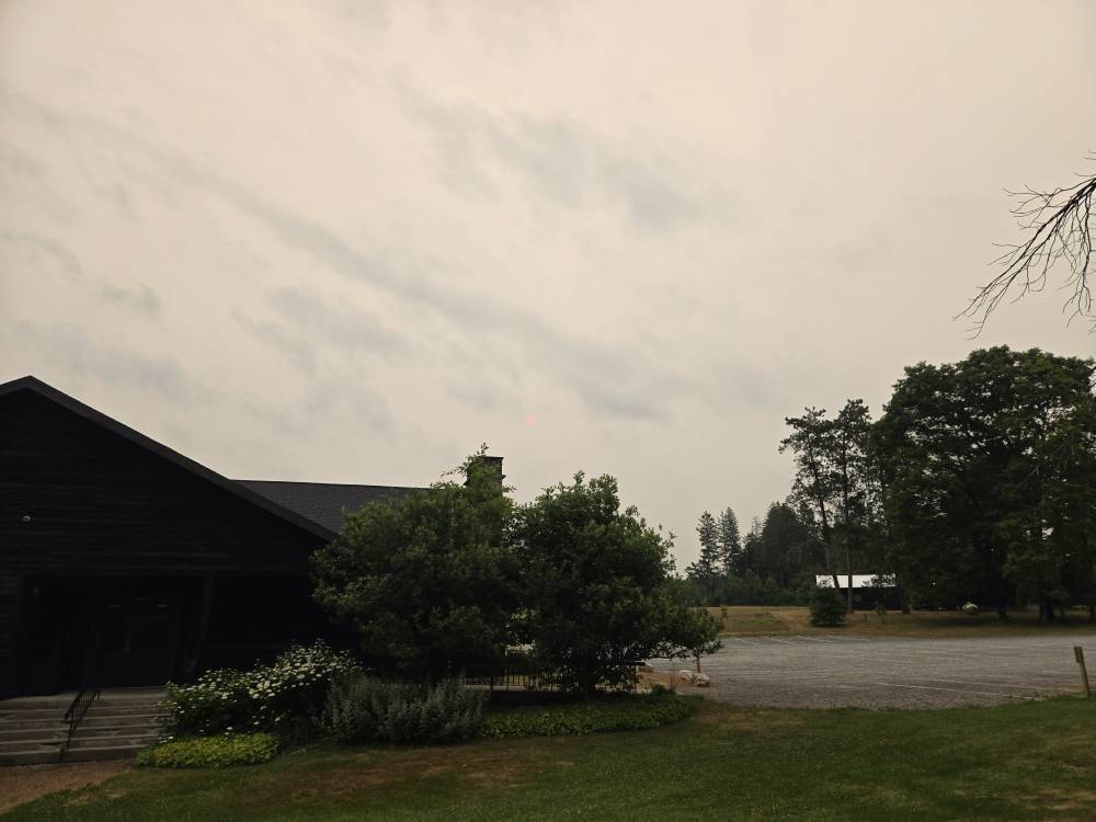
-
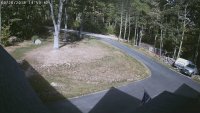
Nada. Nice cell approaching Sebago at 10pm must have fallen apart. 0.00"
Sent from my SM-S921U using Tapatalk -
Where u staying in mt Vernon? Grew up in belgrade lakesMeh here so far in Mt. Vernon Maine. A few rumbles now, a bit of thunder, a flash of lighting. and some light rain earlier.
Sent from my SM-S921U using Tapatalk
-
90f denied. High 79f
Sent from my SM-S921U using Tapatalk -
Lawns are going to be toast by next wknd.
Sent from my SM-S921U using Tapatalk-
1
-
-
Perfect weather
Sent from my SM-S921U using Tapatalk-
6
-
-
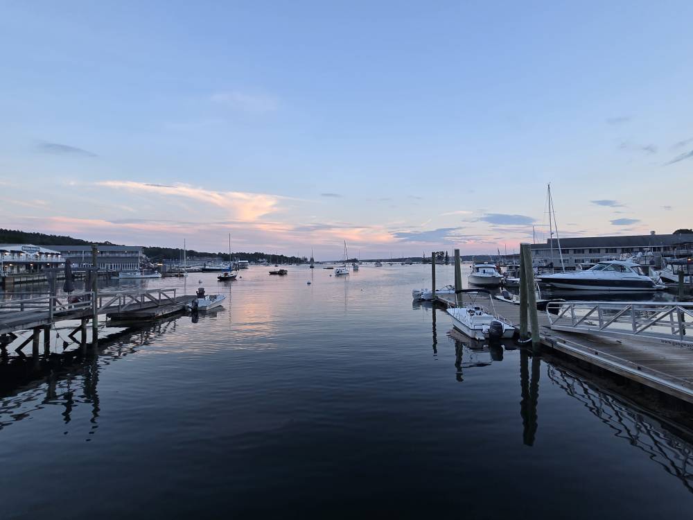
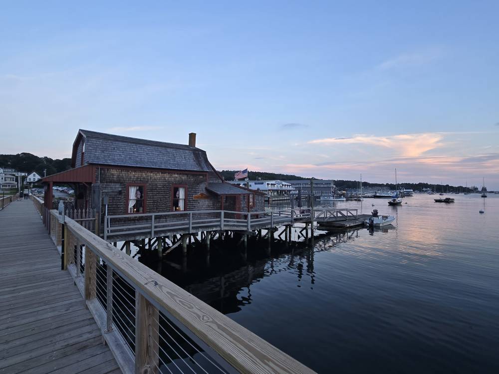
Been coming for 10yrs or so. Celebrating our 22nd anniversary
One of my favorite spots in Maine.
.
Sent from my SM-S921U using Tapatalk
-
2
-

Ju-ply 2026 Obs and Disco - Kicking it off with heat, humidity, and ... severe?
in New England
Posted
kick that to the curb, at least here.