Maggie Valley Steve
-
Posts
1,024 -
Joined
-
Last visited
Content Type
Profiles
Blogs
Forums
American Weather
Media Demo
Store
Gallery
Everything posted by Maggie Valley Steve
-
No Hurricane Remnants This Year!
-

2024-2025 Fall/Winter Mountain Thread
Maggie Valley Steve replied to Buckethead's topic in Southeastern States
9 this morning at the house. -
2024-2025 Fall/Winter Mountain Thread
Maggie Valley Steve replied to Buckethead's topic in Southeastern States
I just stepped outside and tiny flakes slowly floating down. Cataloochee was socked in with clouds just above the base and they weren't reporting snow last hour. I was expecting windy conditions this morning. GSP mentioned a Cold Weather Advisory coming tonight for the Mountains. -
2024-2025 Fall/Winter Mountain Thread
Maggie Valley Steve replied to Buckethead's topic in Southeastern States
18 here with a dusting. -
2024-2025 Fall/Winter Mountain Thread
Maggie Valley Steve replied to Buckethead's topic in Southeastern States
I just drove up to Soco Gap. Light snow and 31 there. My temperature has dropped to 35. Light snow beginning to fall here. -
2024-2025 Fall/Winter Mountain Thread
Maggie Valley Steve replied to Buckethead's topic in Southeastern States
I just drove back up the mountains from Asheville. It appears everything above 4500ft is covered. Your report makes sense with what I saw. I did notice cumulus building near the border. Hopefully that bodes well for us as the sun goes down. Temperature here is 37. -
2024-2025 Fall/Winter Mountain Thread
Maggie Valley Steve replied to Buckethead's topic in Southeastern States
I lost most of the snow from this morning, but I noticed the radar is beginning to blossom along and near the Tennessee side of the mountains. GSP is now saying snow returns tonight into tomorrow with 2 to 4 inches possible with higher totals. They are now saying we could snow into Friday morning. -
2024-2025 Fall/Winter Mountain Thread
Maggie Valley Steve replied to Buckethead's topic in Southeastern States
I believe that may be a possibility. As crazy as it sounds, there are currently 'lake effect snow' across Texas streaming off the Lakes of Central and East Texas currently. While that is not related to the Upper-level snow we may get, it does offer a clue to just how potent this very cold airmass truly is. -
2024-2025 Fall/Winter Mountain Thread
Maggie Valley Steve replied to Buckethead's topic in Southeastern States
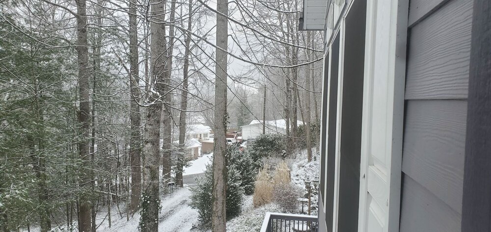
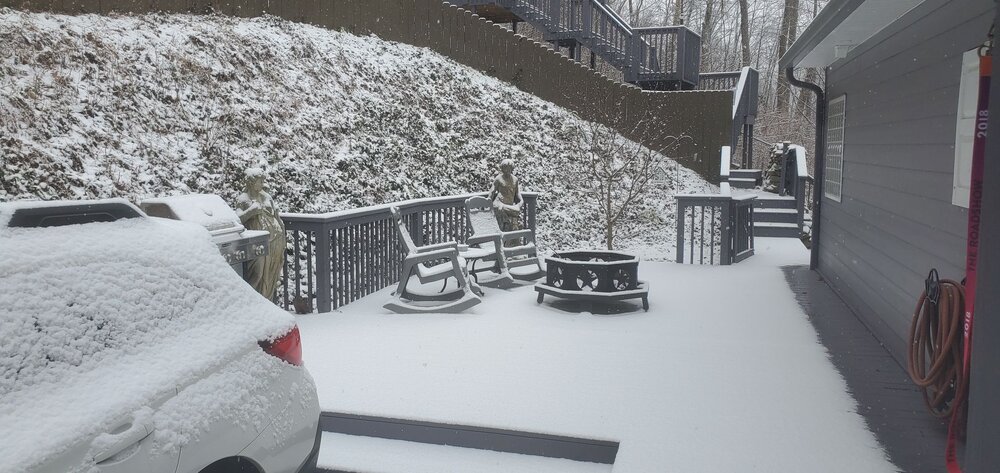
Still snowing in Maggie.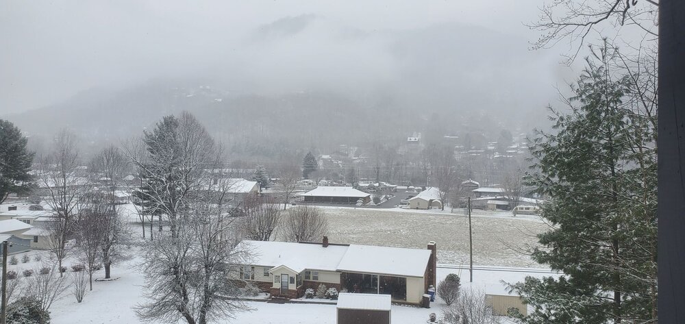
-
2024-2025 Fall/Winter Mountain Thread
Maggie Valley Steve replied to Buckethead's topic in Southeastern States
Not local, but Austin TX has light snow at this time. Totally not expected there. It gives us an idea of the magnitude of the airmass with the PV lobe dropping down. -
2024-2025 Fall/Winter Mountain Thread
Maggie Valley Steve replied to Buckethead's topic in Southeastern States
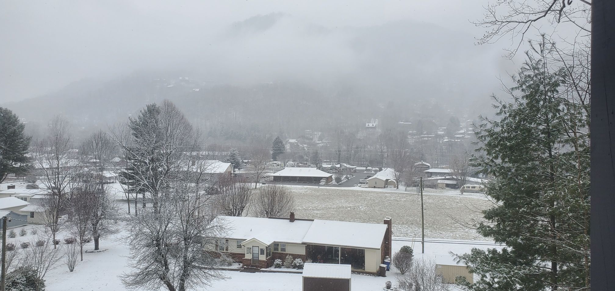
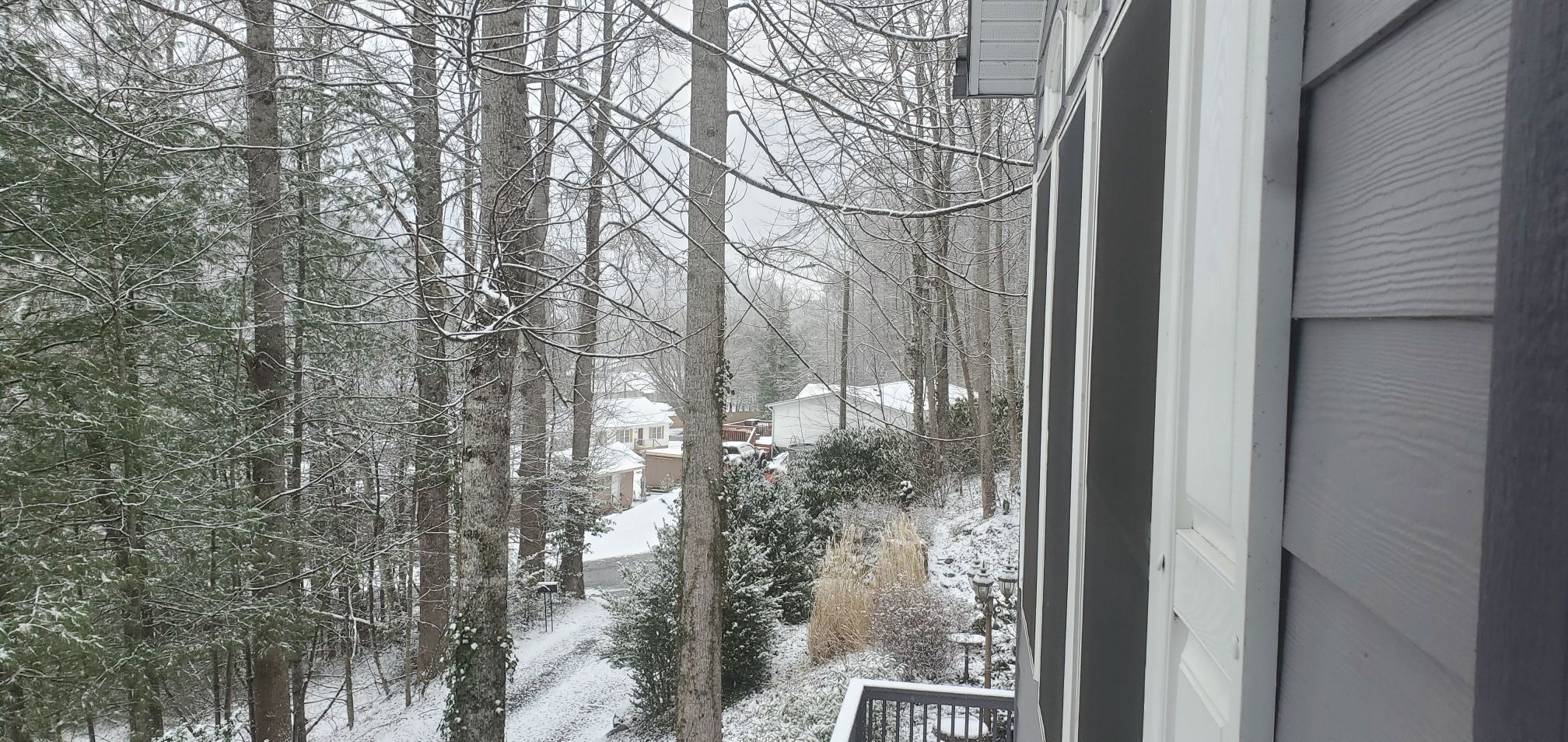
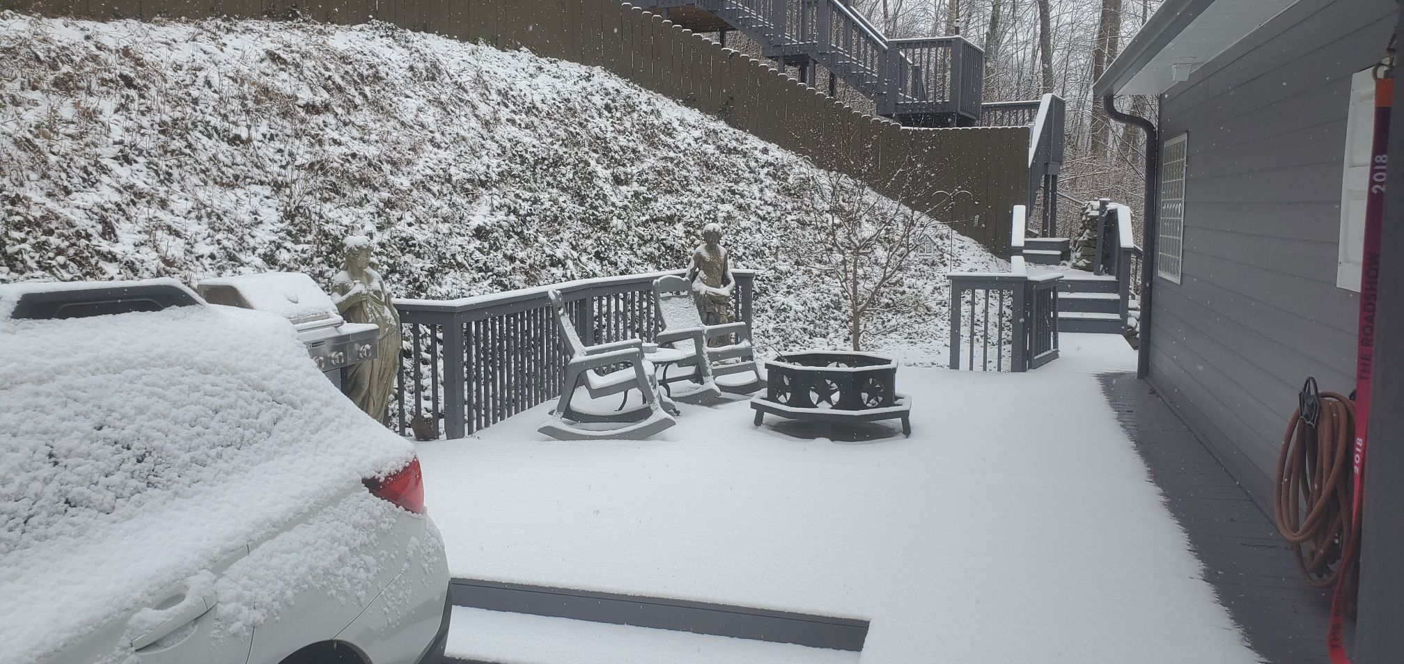
Back to moderate snow after a 30 minute period of light snow. Really no wind, so it's laying down quickly. Very picturesque! -
Awesome Man!
-
2024-2025 Fall/Winter Mountain Thread
Maggie Valley Steve replied to Buckethead's topic in Southeastern States
Moderate snow and a 1/4 mile visibility. Driveway caved. Nearing an inch. -
2024-2025 Fall/Winter Mountain Thread
Maggie Valley Steve replied to Buckethead's topic in Southeastern States
Good snowy morning! 30 and snow at the house. Ground is covered and even started laying on the driveway. -
2024-2025 Fall/Winter Mountain Thread
Maggie Valley Steve replied to Buckethead's topic in Southeastern States
I suspect if the 00Z and 6Z short range guidance increases the amount of deformation banding and heavier as well as a bit longer duration upslope episode, we'll see Winter Storm Watches hoisted for the Mountain Counties tomorrow morning. Now if those thunderstorms along the Gulf Coast end up not coming to fruition as the guidance suggests, we could see higher totals Wednesday with over running snow. We will see. -
2024-2025 Fall/Winter Mountain Thread
Maggie Valley Steve replied to Buckethead's topic in Southeastern States
I believe a general 2 to 4 inches is possible even here in the higher Valleys. To me, the big question is the following upslope snow development as the surface low pressure passes by and the potent upper low slides in Wednesday night into Thursday. -
2024-2025 Fall/Winter Mountain Thread
Maggie Valley Steve replied to Buckethead's topic in Southeastern States
21 here. Clear sky and no snow. -
2024-2025 Fall/Winter Mountain Thread
Maggie Valley Steve replied to Buckethead's topic in Southeastern States
It's been spitting snow off and on most of the afternoon. No accumulation though. -
2024-2025 Fall/Winter Mountain Thread
Maggie Valley Steve replied to Buckethead's topic in Southeastern States
I went from 52 at 9:30 to 43 now. I've had several gusts above 40mph since the front passed through. -
2024-2025 Fall/Winter Mountain Thread
Maggie Valley Steve replied to Buckethead's topic in Southeastern States
Not bad at all. Arctic High in Eastern Montana/Dakota's is stronger at 1055ish and we stay all snow throughout the duration including SWNC. -
2024-2025 Fall/Winter Mountain Thread
Maggie Valley Steve replied to Buckethead's topic in Southeastern States
GSP mentioned several things this morning that caught my eye. The Miller A is showing things on the models that is not typical. Freezing rain/sleet is very uncommon for a Miller A. The Forecaster stated the the dividing line appears to the NC/SC border, bit not real comfortable with an exact solution. GFS was what snow while the Euro was all snow. Also mentioned was snow in the Mountains and another snow chance next Saturday for the Mountains. The grids have increased snow chances beginning Tuesday night into Wednesday before tapering off Wednesday night. The guidance likely will continue to struggle the next 24 to 36 hours with their final solutions. -
2024-2025 Fall/Winter Mountain Thread
Maggie Valley Steve replied to Buckethead's topic in Southeastern States
Going to take some time to saturate down with the dry air behind the front tomorrow morning. Hoping for an earlier start overnight Tuesday with snow actually making it to the ground early Wednesday morning. -
February 19-20 Major Winter Storm Threat
Maggie Valley Steve replied to NorthHillsWx's topic in Southeastern States
Kids. I was in my Junior year at Mars Hill in 1979 -
2024-2025 Fall/Winter Mountain Thread
Maggie Valley Steve replied to Buckethead's topic in Southeastern States
Nice hit on the Euro. Has my house in the 8 inch + range 5 days out. -
2024-2025 Fall/Winter Mountain Thread
Maggie Valley Steve replied to Buckethead's topic in Southeastern States
The wind today is howling through the Valley. Looking like we may see some gusts exceeding 45 to 50 MPH overnight into tomorrow morning.