Hurricane Agnes
-
Posts
9,287 -
Joined
Content Type
Profiles
Blogs
Forums
American Weather
Media Demo
Store
Gallery
Everything posted by Hurricane Agnes
-
I also have some potted tropicals (plumeria, stephanotis, hibiscus) that feel right at home and are starting to bloom! Meanwhile I'll take the AC thank you.
-
I have some Italian basil, Thai basil, and Holy basil that I started from seed this past spring, but were delayed going out into my vegtrug raised bed planter because of the winter-in-May that we had (couple days of frosts/freezes around Mother's Day). But in this environment, they are just basking in the heat and humidity. Of course the lettuce bolted.
-
I think today will break my 6-day streak of 90+ days. The rain and overcast this morning seemed to work its magic. So far today, my high has been 88 and we're getting to what is usually the hottest part of the day. Of course that rain helped to feed the sauna. My basils love it though! Currently 88 and partly sunny with some possible pop-ups that appear to be moving this way from the west.
-
And looks like that is it for the morning (so far). Finished up with another 0.02" for a morning total of 0.72", Currently partly sunny and 77.
-
And that band held together and is passing over me now. Getting a heavy shower, with an additional 0.12" at post time, for an event total of 0.70" and it's 77. Looks like that might be it for this morning as it looks clear to the west.
-
And the sun tried to pop out briefly about 15 minutes ago but is more in and out now. Meanwhile that line to the west is holding together and barrelling this way, so it'll end up being like self-destruct sunshine soon! Currently mostly cloudy with breaks of sun, and 75.
-
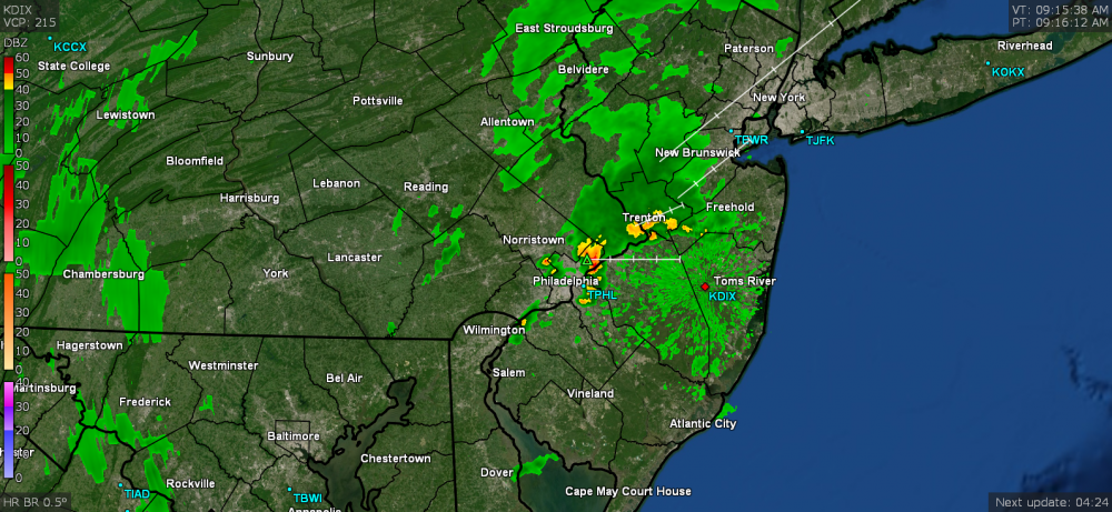
And sure enough, those little pop-ups have been coming right over me and so far (at post time), deposited another 0.19" in a >1"/hr heavy shower (total for the event now at 0.58"). This time, it looked like it wanted to be hail but had melted before hitting the ground, thus the huge rain drops (which is something that has been more common here the past decade or so - the exception being earlier this month where I actually had hail make it to the ground). There appears to be another line that formed just to the west that might hit here as well.
-
So far got 0.39" out of that this morning. Am not sure if that stuff out west will continue moving this way or if it will start clearing and heating up the soup. There are a couple little pop-ups that formed over Roxborough/Manyunk that might swipe me. Currently 74 and misty.
-
Getting a morning thunder-bumper. Currently light rain and a steamy 75 (already have 0.06" from it). EDIT - light rain is now heavy.

-
A colorful one to boot! Orangey/yellowish/reddish/purple.
-
Got 0.06" more of light rain since my last post (total 0.44" for the event so far and 0.57" for the day). Temp still 72 and it's overcast and misty. Can now see an attempt at a sunset happening to the west.
-
I didn't see any lightning but had a total of 3 rounds of thunder, the last one being pretty deep and rumbling. I'm now down to light rain and so far received 0.38" from the heaviest rain (total 0.51" for the day so far at post time). Figure I may get another couple hundreds of an inch before it's done. Temp is down to 72 and the windows are... you guessed it! STEAMED (that's what happens when you have central air with the floor vents right under windows)!
-
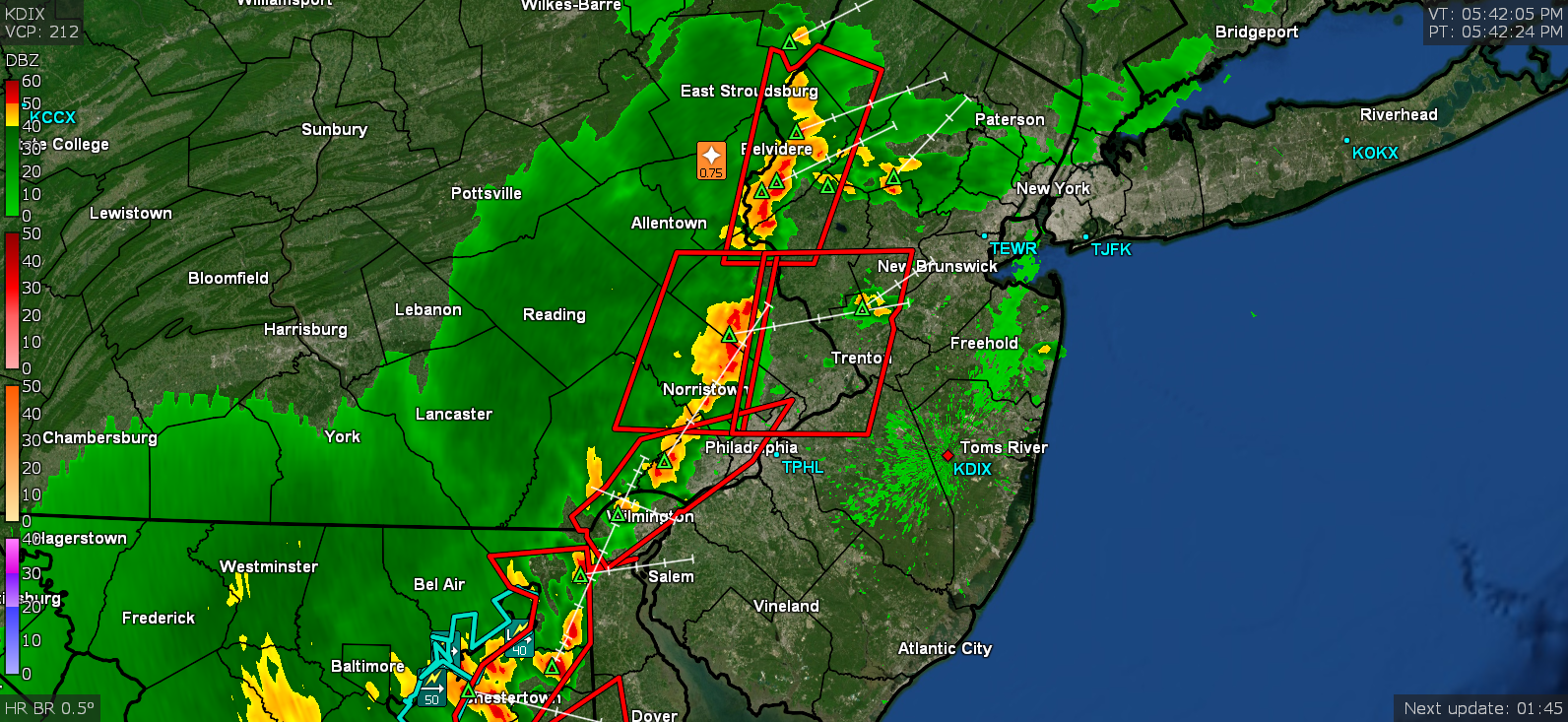
Now getting 1"/hr rates. Temp down to 80. Total additional precip for the day 0.18" (total 0.31").
-
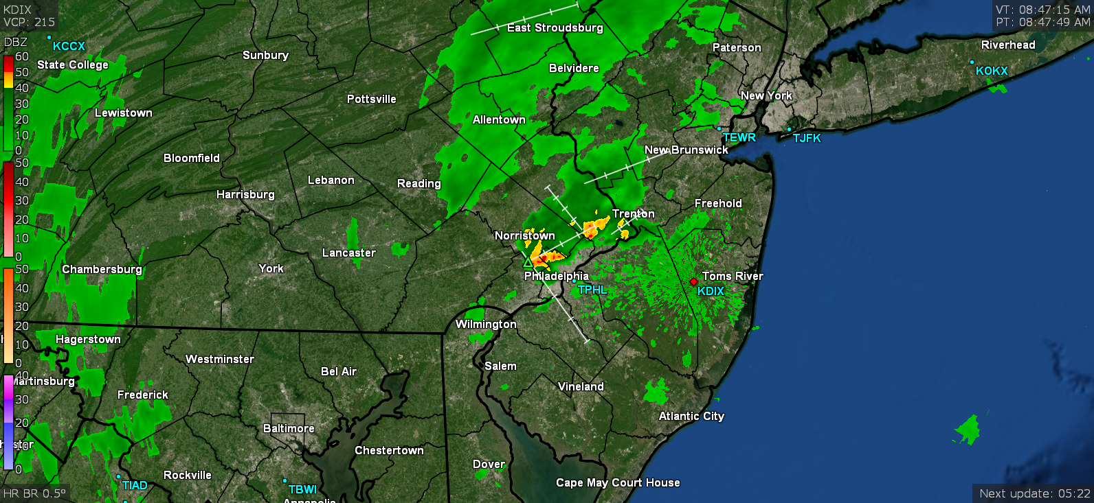
Rain has arrived. Temp down to 82 but areas just a few miles west are down into the 70s.
-
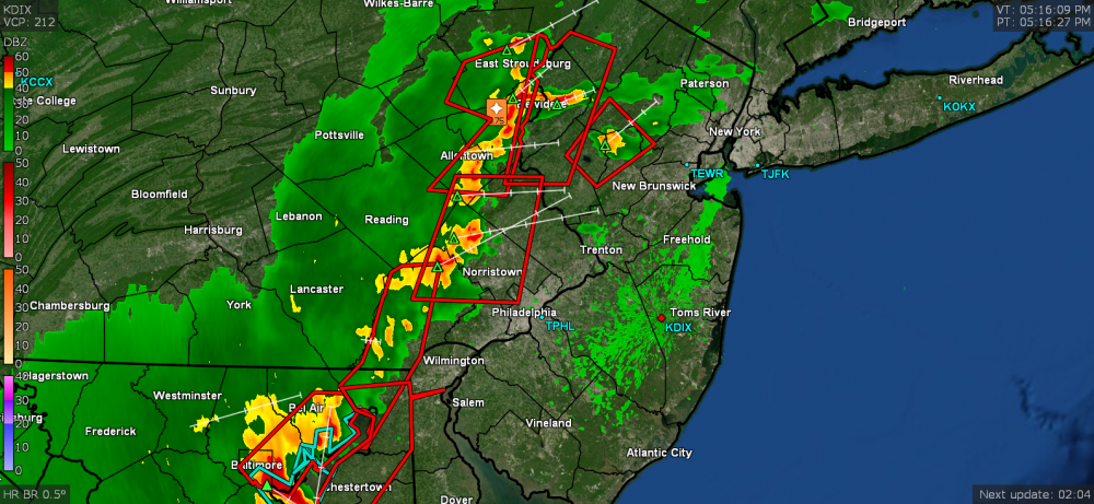
Got the darkness and even some clusters of mammatus. Just starting to get some raindrops. Temp is down to 85.
-
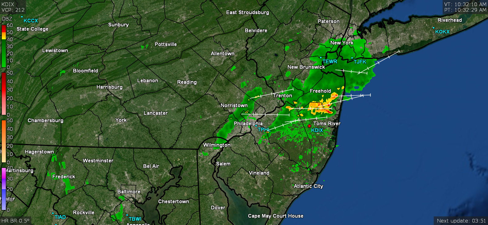
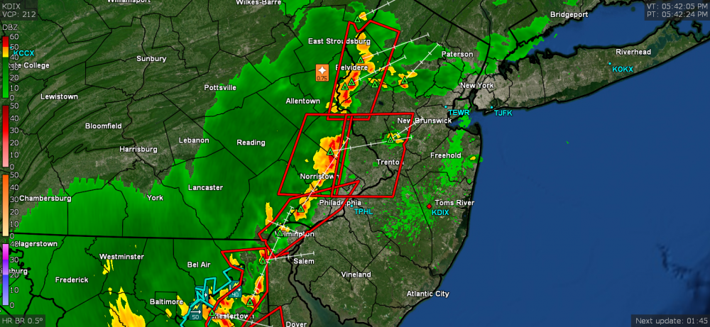
I see it to the west out my window. Two new Warnings expanded across the city and down into Delaware. Winds have picked up and am guessing there may be a gust front with this.
-
I just got thrown into a Warning. Since it has been overcast for awhile now, temp is down to 88.
-
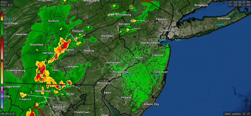
That "giant hook" looks like that thing that hit Philly back on July 6th!
-
I remember when your patio furniture went flying last year after a storm! So I don't blame you. My basement stays cooler too and so far my central air is holding - at least down there and the 1st floor. The 2nd floor? Forget it (I have a portable in my bedroom for night)! I was glad for that little bit of rain overnight because I would have had to get the hose back out again today.
-
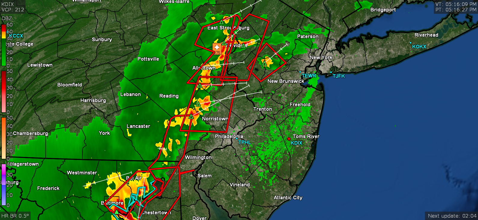
There's some unstable air out there! And since some of us got some rain overnight, that just added moisture to make it even more muggy and unstable. Just heard Hurricane Schwartz on KYW about 5 minutes ago and he said we're still a few hours from that but the closest are coming into Lancaster County now so they might get here just after peak heating. Today is day 6 of 90+ IMBY!
-
And here comes Norman, OK -
-
Well it's currently a hazy 93 with dews in the 70s but it looks like some incoming from the west.

-
The rain started up here just before midnight, with a peak of 1/2" per hr rates after midnight, giving me 0.01" for yesterday and 0.13" for today (at post time... given more is progged for later today). Currently a soupy 74 and mostly cloudy, with dews in the mid-70s (and you guessed it - steamy windows)!
-
Well I hit 95 today making it day 5 for the current heatwave. The humidity was reasonable given the temps, but that is supposed to change tomorrow. I do see some action incoming from the west but am not sure if it will hold together to give the plants in MBY a little sprinkle. Currently 89 and mostly cloudy.
-
Too much of a broken cirrus deck last night and just tried about 30 minutes ago for a pre-dawn attempt and still too much cirrus around here. About the only thing that broke through was Venus and a few assorted and sundry stars (couldn't even make out the Big Dipper through the high clouds ). Currently a "cooler" 76 at post time this morning and dews are down into the 60s. You can feel the difference.