SolidIcewx
-
Posts
1,577 -
Joined
-
Last visited
Content Type
Profiles
Blogs
Forums
American Weather
Media Demo
Store
Gallery
Everything posted by SolidIcewx
-
I feel really bad for the north tier of our sub. Feet of heavy wet snow is hard to imagine
-
I’ll take a drier may if it means holding the skeeters back some
-
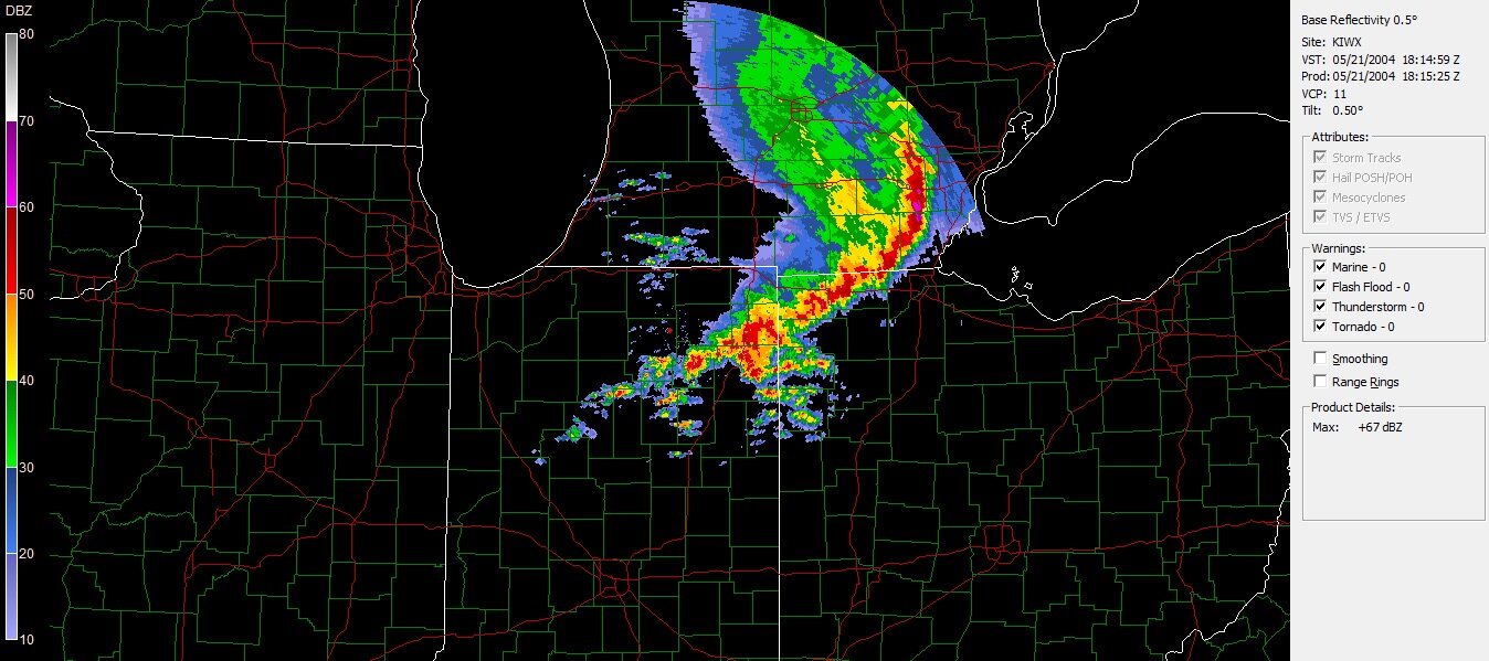
That’s a good thing! I remember a couple summers ago the rouge flooded in canton along with everywhere else. Old timers telling me they have not seen the canton portion flood in over 50 years. I was trapped in my neighborhood and water too deep without risking my vehicles. The storms that form from extreme cape is something else to witness as well
-
Hoping for some of those training events also! Perfect for lightning. I go to Clearwater on the 17th and look forward to all the lightning at nighttime when the storms are popping off around me by the ocean
-

-
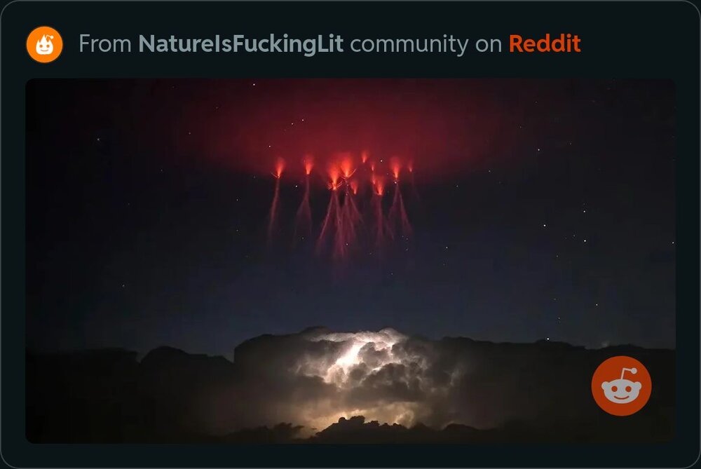
Found this on Reddit. Such an awesome display of sprites
-
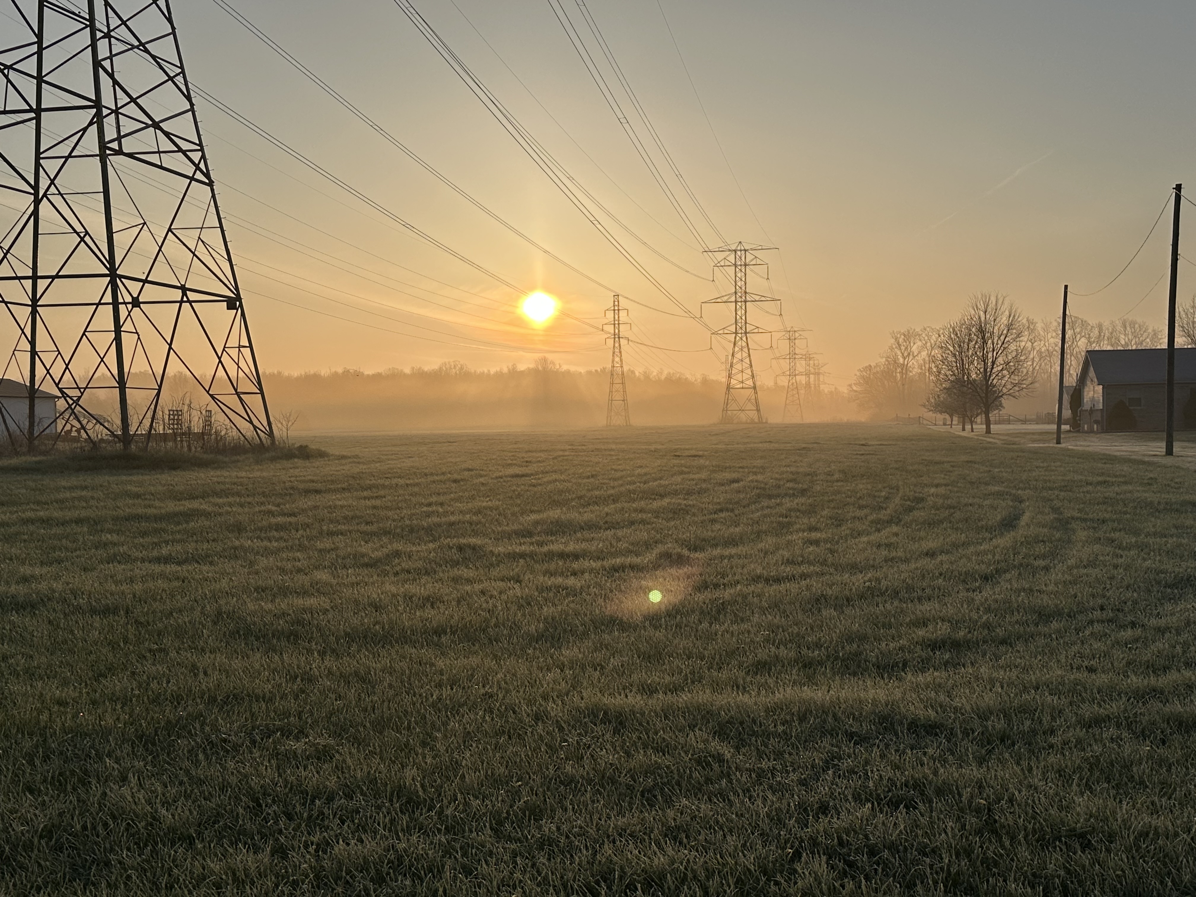
Beautiful sunrise this morning.

-
Trees and shrubs seem okay out this way where I’m working. Definitely last night was a shock to everything growing
-
The taxes due this time are quite expensive
-

Spring 2023 Medium/Long Range Discussion
SolidIcewx replied to Chicago Storm's topic in Lakes/Ohio Valley
I say at this point quit teasing us and drop 1-3 -
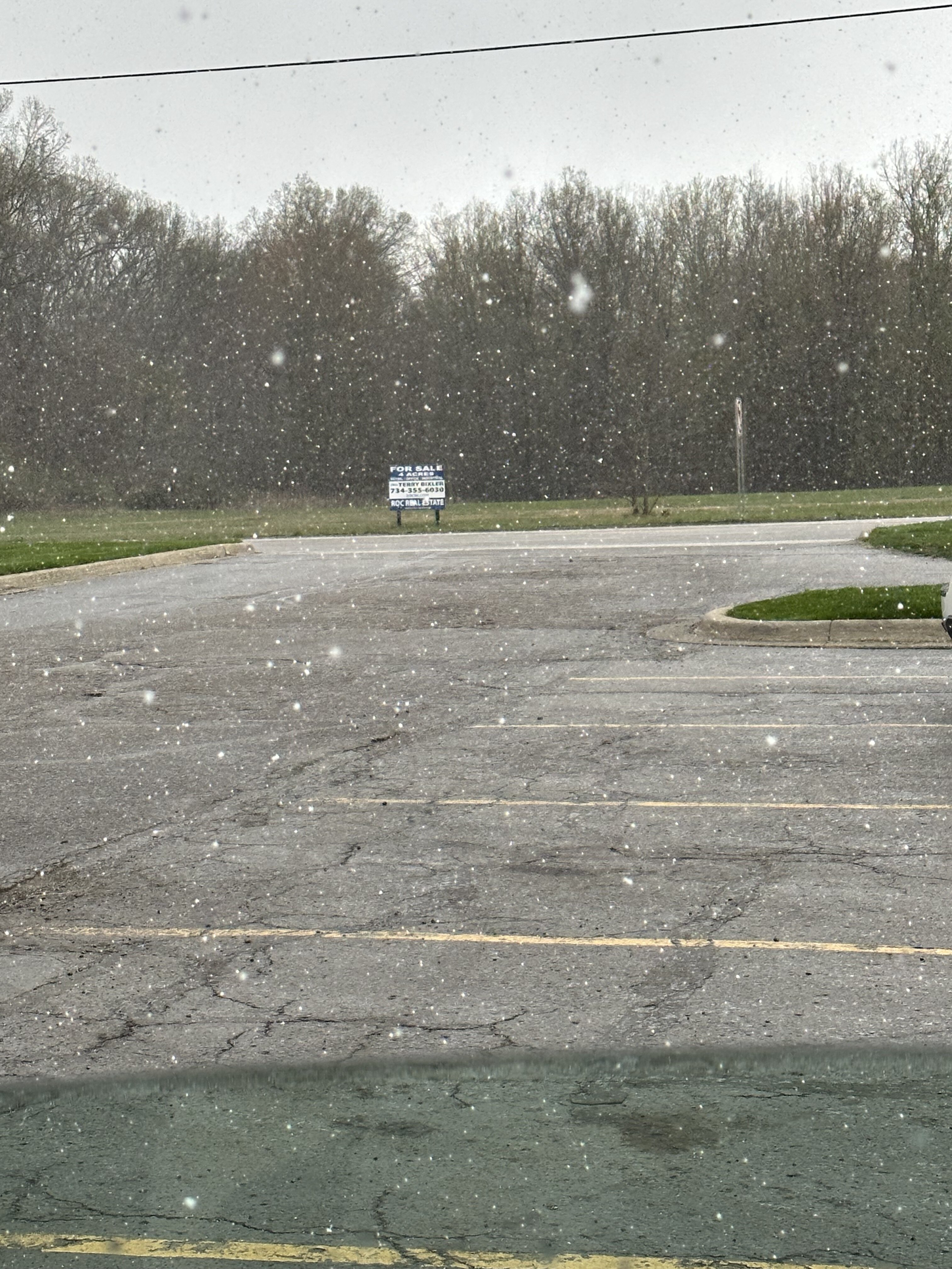
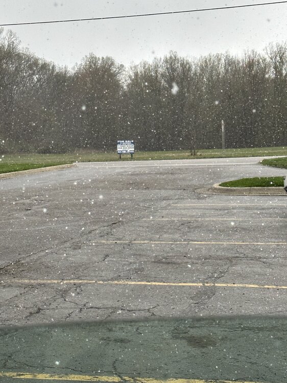
Nice shower right now before I leave
-
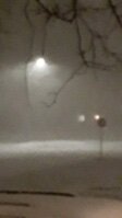
Just had a light snow shower here in New Boston where I’m working
-
Man if we had a carrington event, we would have a crazy explosion on the sun our satellites would pick some crazy videos. We narrowly dodged one in 2012 by 3 days that was near carrington level. It’s only a matter of time
-
Those are beautiful pictures. Was cloudy here until I went to bed. One of these days I’ll catch them
-
Always seem to get the clouds
-
Spring 2023 Medium/Long Range Discussion
SolidIcewx replied to Chicago Storm's topic in Lakes/Ohio Valley
Ahh okay that makes sense. It is definitely nice when the humidity is taken away and we get a nice breeze to go along with it -
I got a few quarters if anyone needs. One of those coins in for me tho
-
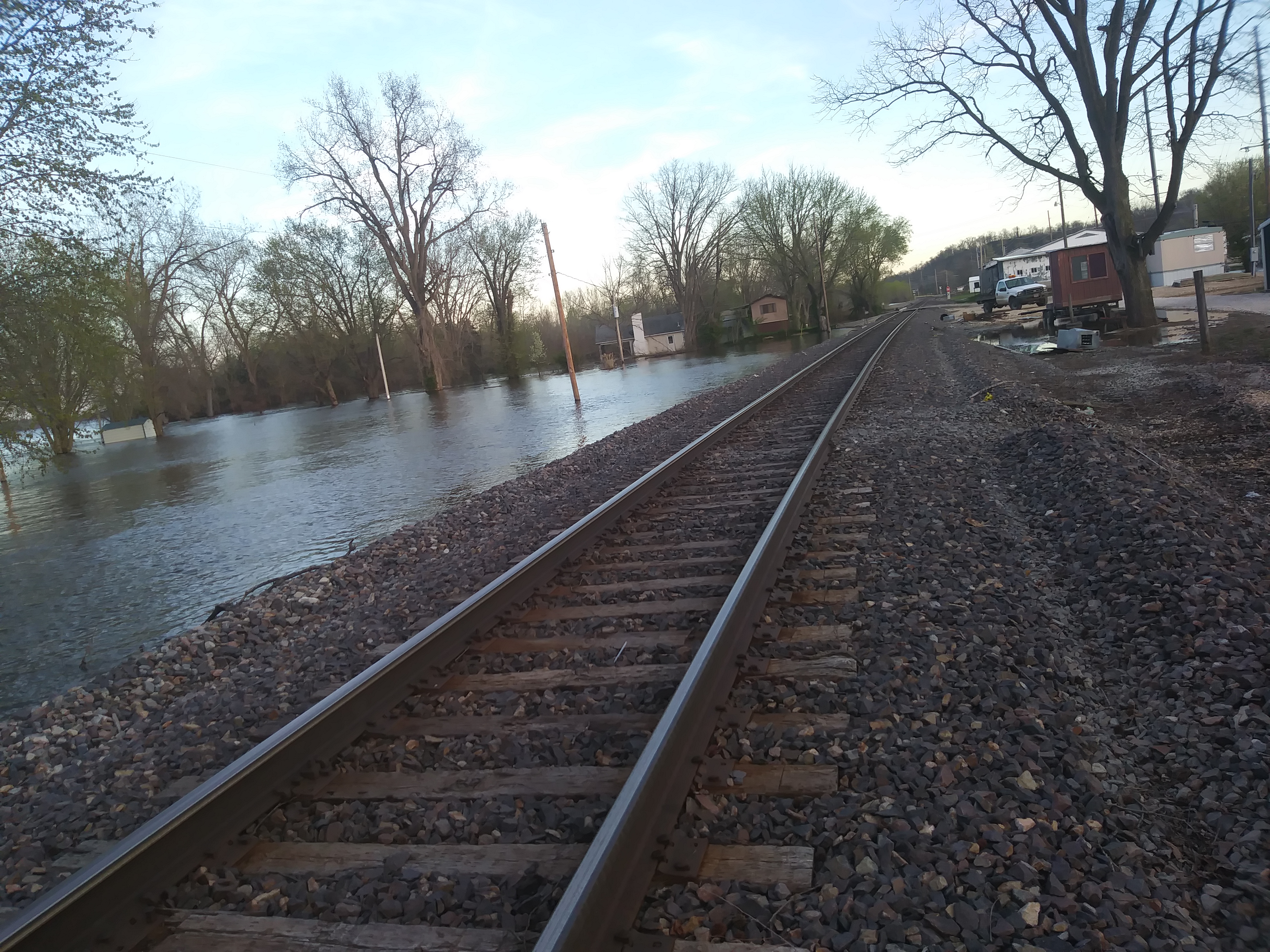
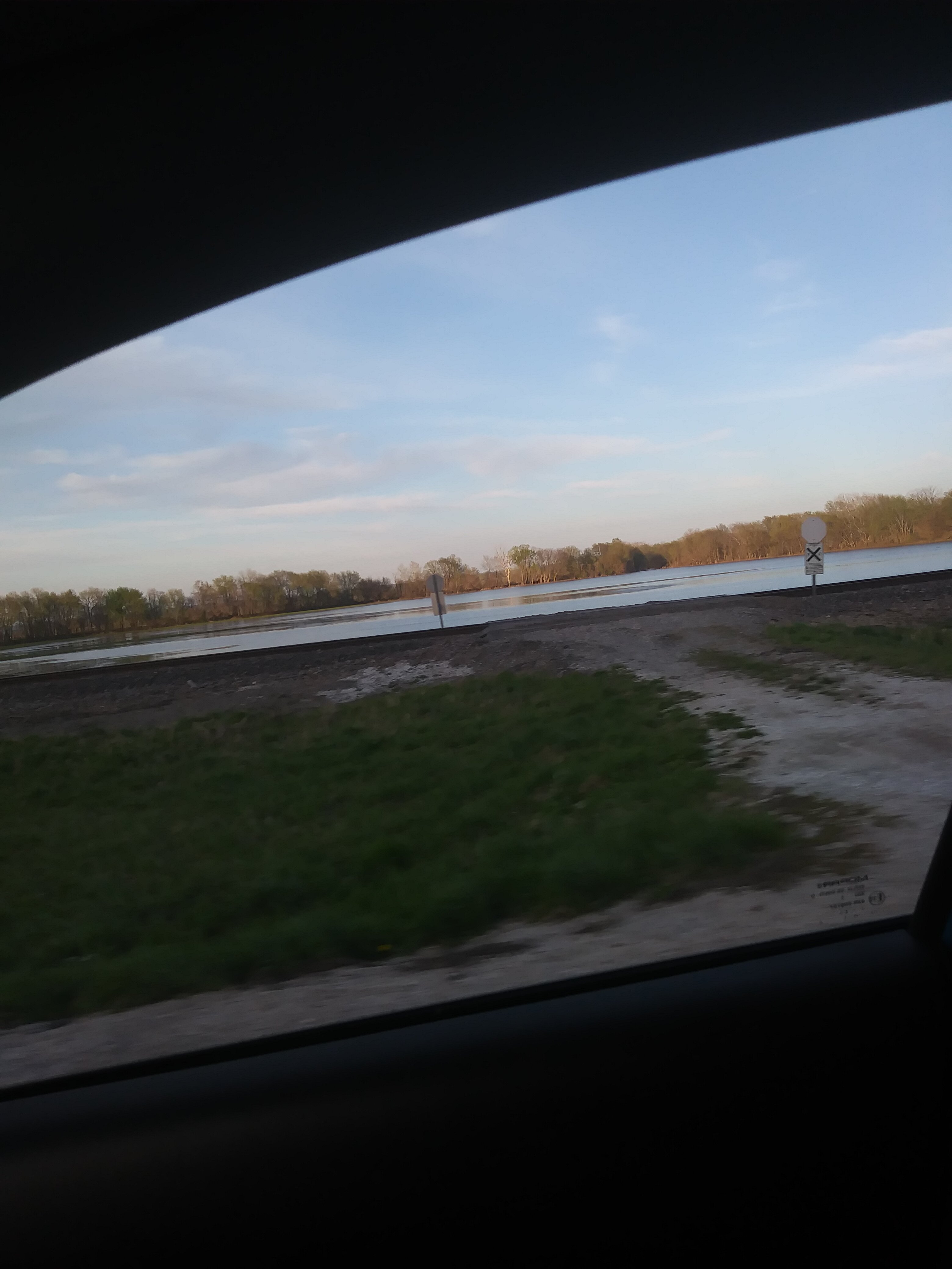
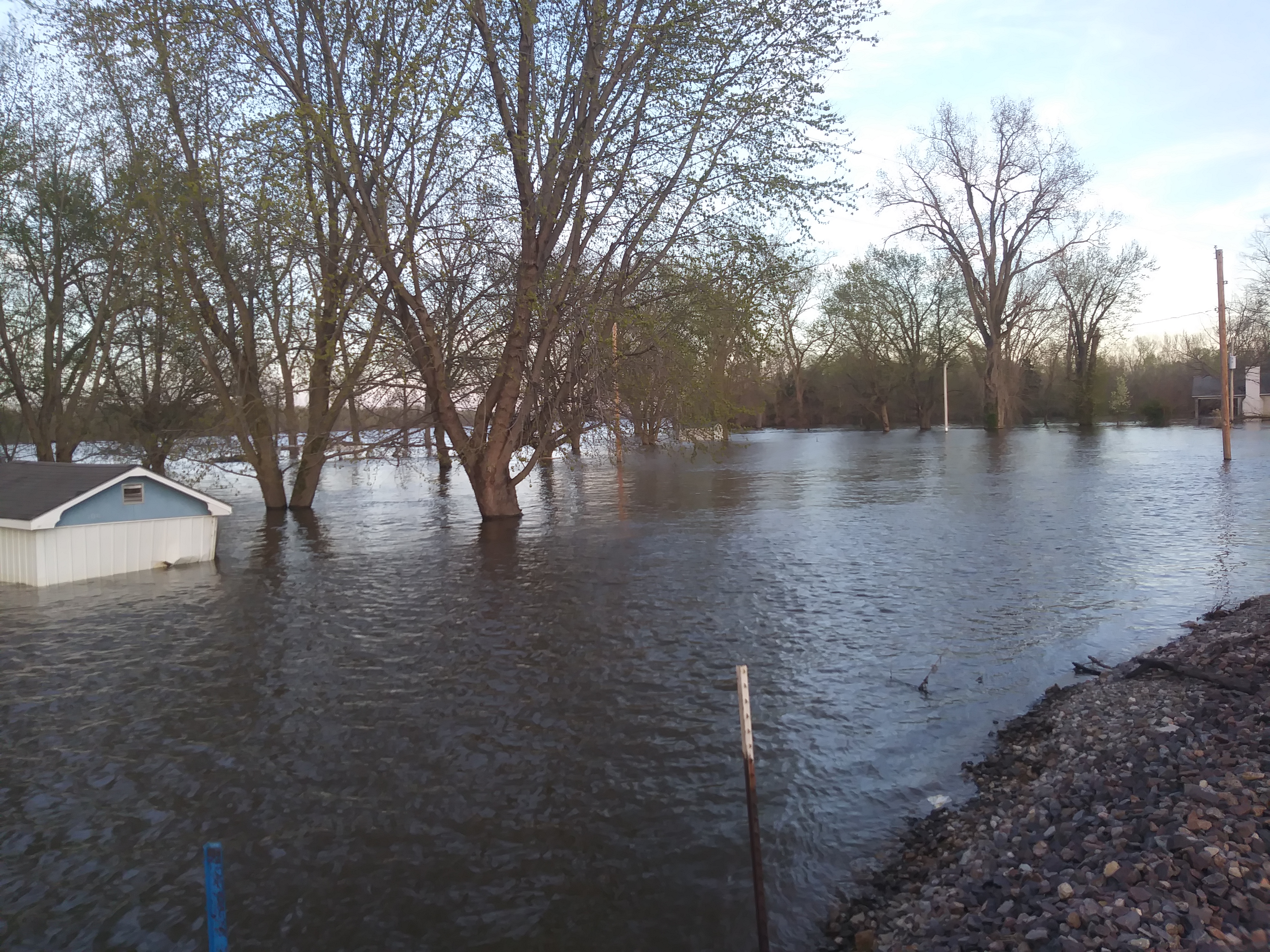
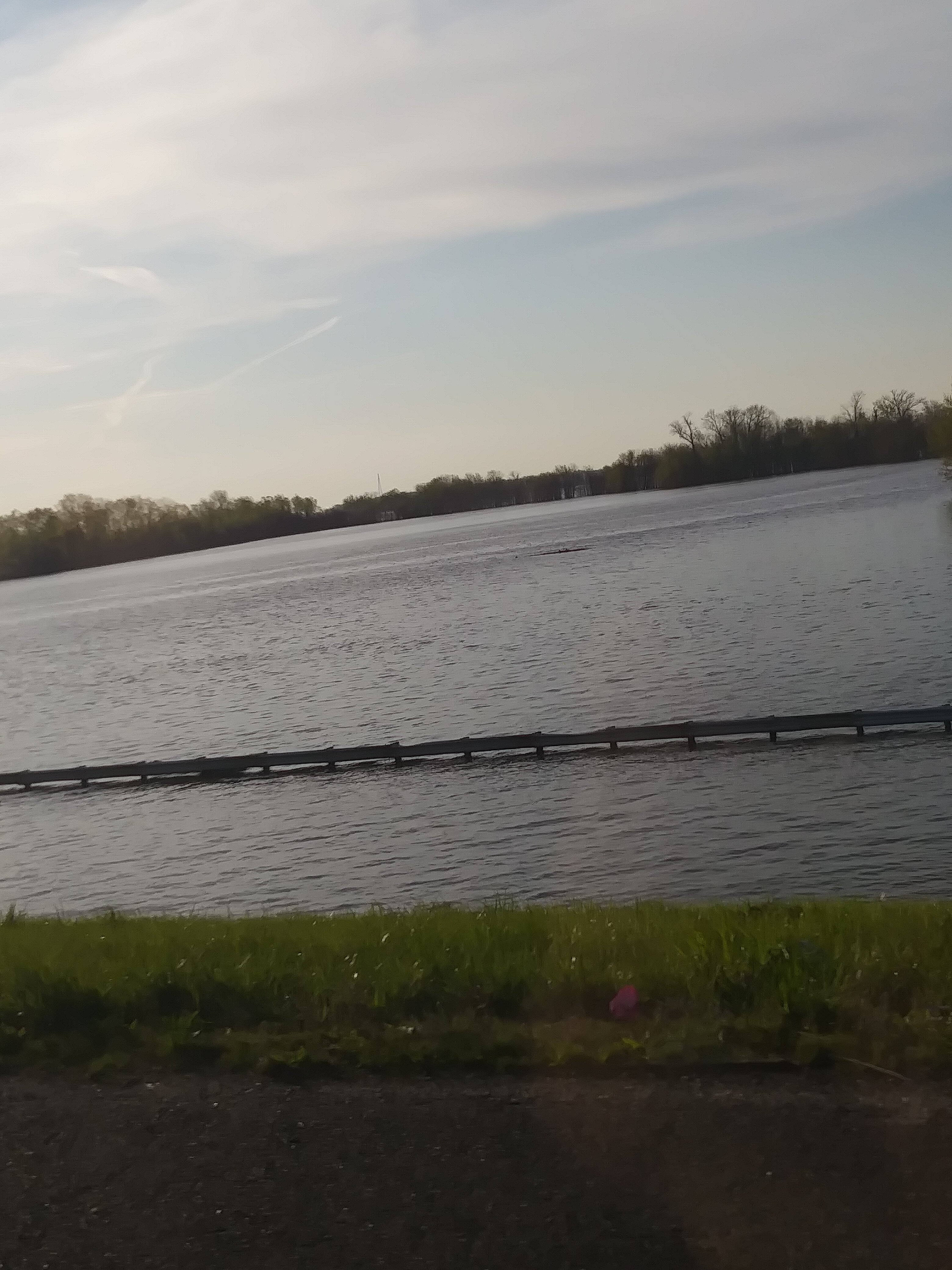
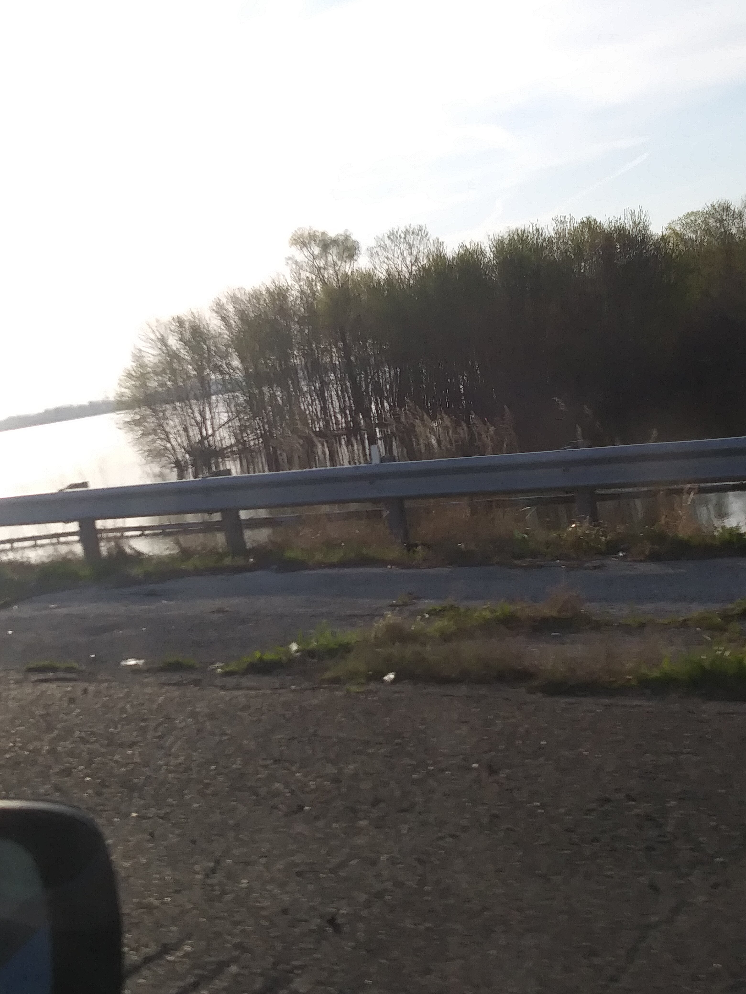
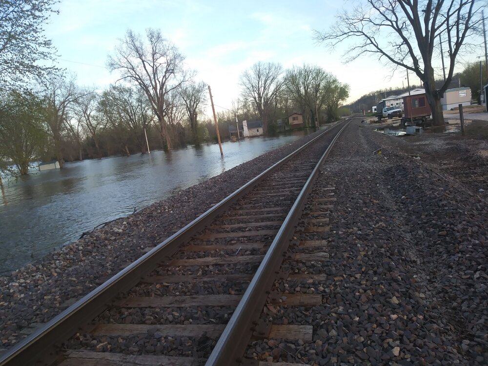
File size limits I apologize but wanted to share some photos I’ve found. I got more also. Hoping we don’t get a repeat but it’s looking that way
-
-

-

-
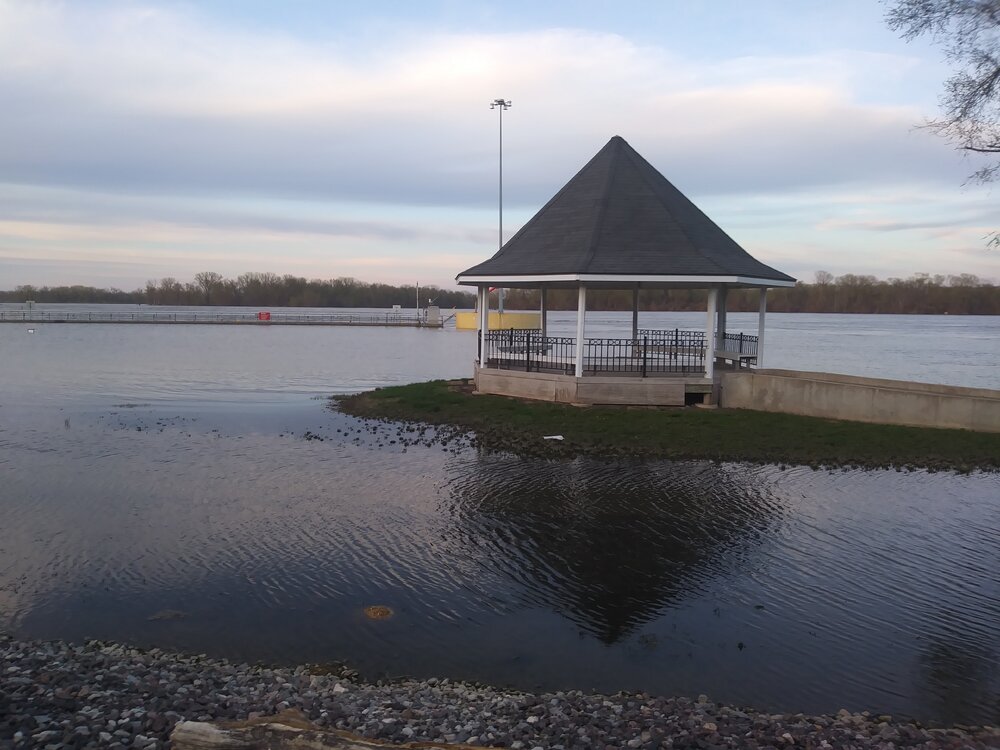
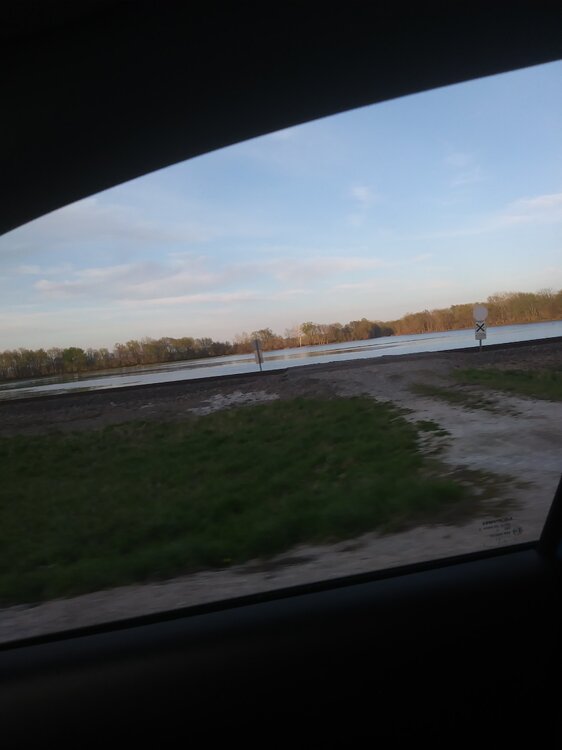
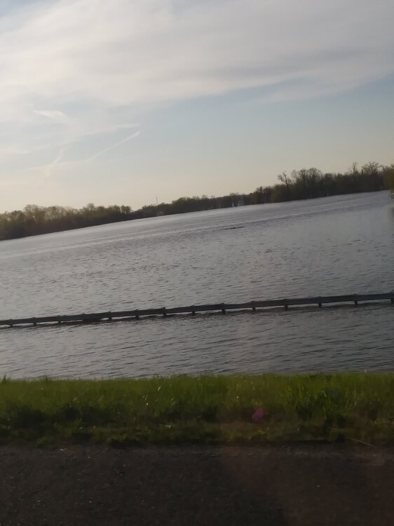
Some photos in Missouri for the 2019 flooding. Gonna be a couple posts


-
Spring 2023 Medium/Long Range Discussion
SolidIcewx replied to Chicago Storm's topic in Lakes/Ohio Valley
That would be a bitch. Get one of those strong cold fronts in early August and drop temps into the mid 60s. I remember as a kid we had a beach day and I told my family it’s going to be chilly. They didn’t listen to me and it was only a high of 67 for that day. Was the first week of August -
Yeah we got the shaft on that one