

SnowenOutThere
-
Posts
3,473 -
Joined
-
Last visited
Content Type
Profiles
Blogs
Forums
American Weather
Media Demo
Store
Gallery
Posts posted by SnowenOutThere
-
-
I feel like a lot of the new snow might start melting now that the sun is out which is a little sad.
-
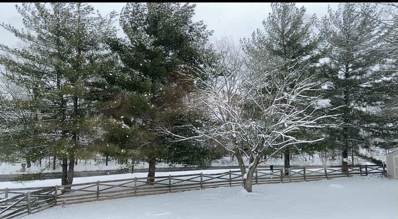
Winter Wonderland out there
-
 3
3
-
-
Wow! It is dumping heavy snow with big flakes and wind this is a winter storm. Probably around 5'' of snow here (eyeballing it) but cleared off a bit of the deck so I can see the additional accumulation the right way.
-
1 minute ago, Wetbulbs88 said:
I’m very disappointed that no one is recognizing that I told everyone to be patient lol.
You did good thank you for trying to calm us down during panic mode on Sunday.
-
Band looks to be nice for me for the next hour but the temperatures are climbing. Currently they are at 34 with peeks of sun but heavier snow moving in with darker clouds should blot it out.
-
Maybe even 2+ hours looking at it now
-
Snow has really picked up in the last 15 or so minutes with the wind picking up as well, the snowflakes are big not huge but definitly bigger than normal. Also that band looks to put me in a nice spot for the next hour or so.
-
Starting to come down at a pretty good pace.
-
Just now, mappy said:
what a terribly written sentence. glad you don't submit those bad reports.
Your welcome
-
 1
1
-
-
Just now, H2O said:
This is why you clean an area every 6 hours. don't guess. That leads to inflated totals
Yeah I know but I don't care as much about how much if uncompact more so what is actually there which is why I don't really report my snow totals to any official thing.
-
Also we are over four inches of snow just measuring from the deck with compression and all so probably more around 5''. Either way its warning level advisory.
-
Radar looks like it might try to pivot some of the band towards me. This band will probably last for a while maybe even 3+ hours of it.
-
Now in moderate snow near Reston with good flakes.
-
5 minutes ago, LeesburgWx said:
This band is expanding west some and as it pivots it looks like it will come through Leesburg @Ji
Works for me as well.
-
1
-
-
Snow is back in Reston with light snow falling with nice flakes looks like we might get the western edge of the band.
-

Wow! What a band it starts all the way up in Reading and ends in Richmond. Also I think the northern end might shift a shift west which might let me in on the snow again which would be nice but mainly I am just happy for DC they needed this. When some people in DC wake up they are going to have a big surprise because this was un-forecast. We should never stress about snow maps and bands until they form it's just not worth it. What a Hail Marry shot.
-
Wow just woke up and even though we are just outside the band that DC is getting I'm fine with it they needed it more than me and besides I still got 1/2 more of snow and it is lightly snowing with more to come. I got my heavy bands yesterday DC can have theirs.
-
Also all roads are covered
-
We are getting big fat flakes falling and 4'' on the ground really saved this storm.
-
1
-
-
Best rates of the whole storm
-
Just now, wxtrix said:
February is when we get the most monthly snowfall in this area.
you should read more and post less.
It was a joke because anytime someone buys stuff to deal with snow we get no snow.
-
2 minutes ago, Jebman said:
Feb is gonna be a month to remember for the Mid Atlantic. Get those snow shovels ready. You might want to buy a blower as well.
Don't buy anything then Feb will be a dud we all know how it works.
-
Wow looks like a solid 2-5 hours of good snow here surprised it did not break up.
-

It looks good maybe even a good hour or two of significant snow.


Feb Long Range Discussion (Day 3 and beyond) - MERGED
in Mid Atlantic
Posted
Alright so from looking at the models and scrolling through here we should have a mix to rain storm on Thursday leading to an artic outbreak over us. After this there is potential for a storm on Sunday but only the Euro is on board. Then after that another shot of artic air consumes us. The pattern then after the iffy storm looks really good and the models have multiple storm chances with cold air. Then the general pattern for the next 1/2 month or more is very good for snowstorms. I this right or am I off?