
WinterWxLuvr
-
Posts
29,279 -
Joined
-
Last visited
Content Type
Profiles
Blogs
Forums
American Weather
Media Demo
Store
Gallery
Everything posted by WinterWxLuvr
-
Ah, what would a game without a Cousins fumble be?
-
And that storm wasn’t even there in the prior run
-
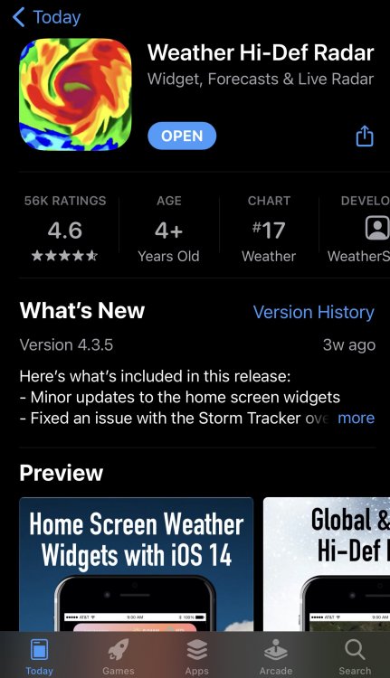
If any of you are put out over the changes to the NWS radar, here’s one that’s great for national radar. Radarscope’s biggest drawback is that it’s only local. This app also has temp tracking which was fun yesterday
-
Merry Christmas to all
-
And everyone of you that laughed at that shit is an asshole also
-
Nice classless post
-
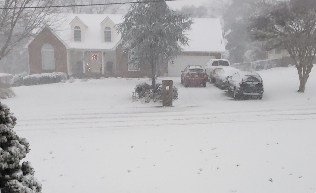
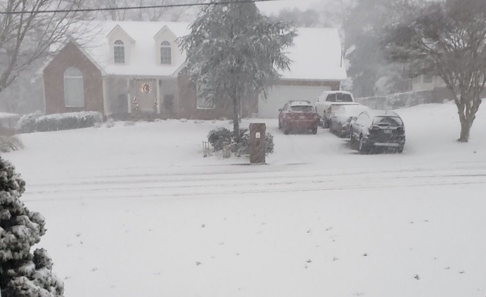
From my sister in Knoxville. Thought I’d post for Ji.
- 485 replies
-
- 16
-

-

-
That doesn’t line up well with surface obs. The front is just entering the western tip of Va. Jackson Ky which is a bit east of that 32 line had the front go through 4 hours ago and reported light snow in their latest ob
-
Just look for an unimpeded channel for the cold to filter through.
-
Little better GFS run for frozen
-
Do y’all rub your meat?
-
12k has slowed the cold push. Not what I wanted to see
-
Hey thanks. I’ll look at that. I had found a site that was decent. Now all we have to do is hope for the SREFS to be right https://www.spc.noaa.gov/exper/sref/sref.php?run=latest&id=SREF_SNOWFALL_MEAN12HR_
-
Is there a good link for that other than NCEP?
-
I don’t care when we make it, but I’m raising hell if anybody but you makes it. Take note others: Do not start that thread LOL
-
Very real possibility with this
-
I mentioned these earlier. Only time I ever saw these was Jan of 77. https://en.m.wikipedia.org/wiki/Snow_roller
-
Actually I think we want it to underperform there. We need that low to be sliding along as the cold comes through. If they get hit hard it means that low is too early for us.
-
Sometimes the cold has a bit better push than modeled. Get that front a little east with the same timing on that low and we could get a surprise
-
Don’t blame you. I was skiing in NC once with temps around 5 and got to see a quad lift break down in high winds. They had to somehow throw a rope up and lower than to the ground. It took at least an hour to get them off. I can’t imagine how cold they were.
-
Y’all have spent a lot of time in here discussing and describing your meat
-
You got the 12 comparison map?
-
He hadn’t considered that. I hope everywhere north of us from Wyoming to Rhode Island builds a four foot snow pack and keeps it all winter.
-
Whenever the 18z euro becomes available, someone please post that info.
-
It’s been a while since I’ve seen a front with this kind of temp differential roll through here. The two biggest of my life that I can remember were one in Jan of 77. I got to witness that one take temps from 50 to 8 in two hours. That’s the one that produced snow rollers. Only time in my life I’ve ever seen those. Anyone who doesn’t know what they are should look that up and then imagine them laying around literally everywhere. But the most memorable for me was the Jan 85 front. I think that front was more prolific on the west side of the mountains. I remember that about 11 pm on Saturday it rolled in with a significant line of snow squalls. The temp at onset was about 30. When I woke the next morning the temp was -9 and never reached zero that day. By Monday morning the temp was -26. Don’t think I’ll ever forget that one.