MN Transplant
-
Posts
17,614 -
Joined
-
Last visited
Content Type
Profiles
Blogs
Forums
American Weather
Media Demo
Store
Gallery
Everything posted by MN Transplant
-
37.3 with non-accumulating flakes
-
At some point you just have to marvel at it.
-
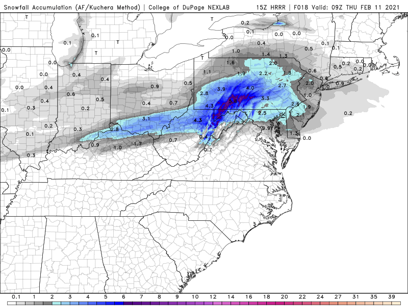
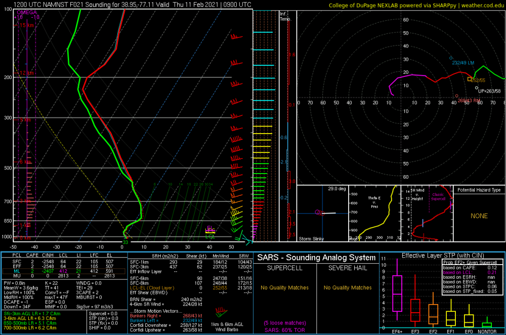
Let’s check in on the latest HRRR. Yeah.
-
Really amazing how the Euro just completely blew this from 3-4 days out. There was little to no 850 push on the Euro as of a few days ago. The GFS and the longer range NAM had it.
.thumb.png.8ac9d7a629d9fb8ec33c2e44d02ffbfc.png)
-
Sigh
-
HRRR is trending towards the worst-case scenario for DC. Too warm with the 1st batch and the second misses south.
-
3k with maybe half of the precip of the 12k
-
Almost surgical how the two phases barely overlap.
-
NAM still holding on to the warm layer idea for round 1 up to DC.
-
GFS still holding to the central VA min.
-
NAM has a warm nose at 800mb that gets to DC.
-
What’s this thing that you refer to as “snowpack”? High of 50.5 here. Better than the 54-55 a few of the models were spitting out a couple of days ago.
-
Well, we are here sitting with a min of 0.5” QPF after not having a warning-level event in a couple of years. Not feeling bad about northern MD.
-
There is almost no overlap on the NAM between the two waves. You get hit by one or the other.
-
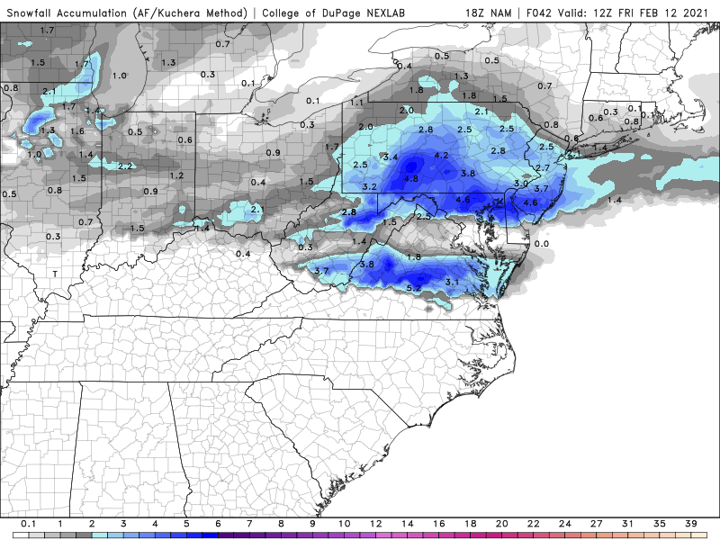
The 12k and 3k look nothing alike
-
The NAM wants to sneak a warm layer at ~800mb to DC. Not sure that it is realistic based on all the other modeling.
-
Some of the precip in PA is from tonight/tomorrow. Otherwise, getting better.

-
It is a nice run for our northern neighbors. The really good news from today has been the complete elimination of the concept of the 850s blasting north.
-
Somebody will like the appendage on the 18z GFS. Not me, though.
-
If the low end is 3” of uncomplicated snow, that’s good news.
-
Whew. Nice to see the NAM cave. 0.3”-0.5” across most of the area with the first wave.
-

-
Approaching 1" precip, all snow in the DC area by 12z Friday. Still snowing.
-
Feb Long Range Discussion (Day 3 and beyond) - MERGED
MN Transplant replied to WinterWxLuvr's topic in Mid Atlantic
Lazy bums, the whole lot of you -
Feb Long Range Discussion (Day 3 and beyond) - MERGED
MN Transplant replied to WinterWxLuvr's topic in Mid Atlantic


.png.c8a55158140f85f5917c97fe5a6d8cea.png)