NorthHillsWx
-
Posts
7,315 -
Joined
-
Last visited
Content Type
Profiles
Blogs
Forums
American Weather
Media Demo
Store
Gallery
Everything posted by NorthHillsWx
-
Getting 7” of rain in a month is a good month. Getting over 7” of rain MORE than the previous month is absurd. Add my April + May + June totals and this month exceeds the sum. Incredible turnaround
-
I gave up too early 7” in rear view mirror, pushing 8” on the month. 0.67” and raining steady with more to come. Back to bed 0.84” was our total overnight
-
We missed all the storms today just right between them. 0.03” total, but keeps our rain streak alive
-
After todays rainfall our monthly total is now at 6.82”
-
Afternoon dumpage here
-
Pushing 6” on the month after heavy storms last night with light rain continuing this morning. With high rain chances continuing through the week, 10” may be in play if we get the right storms. Unbelievable turnaround
-
Sounds like most everyone has gotten into the good stuff at least once this month. At over 5” after picking up just 0.46” last month my yard has gone from not having needed mowing since mid May to mowed twice this week. Better yet, the farm in Franklin county has exceeded 8” this month and the corn, soybeans, and food plots look like we will have made it through the drought with minimal loss. Checked the corn today and it’s 7-8’ and growing fast
-
Finally getting our turn today. 3rd storm of the day incoming
-
0.02” today 4.23” for the month
-
RadarScope. Best radar app you can get. We picked up 0.21” from that rotting line last night so we were not blanked. Happy for areas south and east of here where the severe drought area got drenched. Hopefully the upcoming week extinguishes the drought for the region
-
Over 2 days it’s much more drastic
-
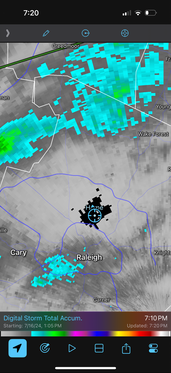
Someone who can post pictures needs to take a screenshot of total accumulated rain for wake county right now if you want to know where my house is
-
Well, 0.10” was too much. We’re at 0.00” and got the split. Unbelievable EDIT: being in a FFW and getting barely enough rain to wet the grass is comical
-
lol that would old be pain for me. 2-4” completely surrounding my house with 0.1 right on top of me
-
For the *very* limited sample size- RDUs observations seem to be much more in line with surrounding areas since rain returned. I wonder if the flash drought + location led to locally higher readings?
-
Yep, nothing here either despite 60% chance. Few cells north of here but very underwhelming
-
Outflow from the northern Wake cell kept it down here. 93.7 was our high, which given recent days honestly felt ok
-
I wonder if subsidence behind the ongoing coastal convection will dampen storm development for central and eastern NC today. NAM kinda showing that now
-
97.3 here for the high. In line with RDU. Thankful for the afternoon clouds and breeze
-
I love the afternoon thunderstorm jackpot on these insanely hot days. Those are my favorite storms, just always hope they’re late enough in the evening to avoid the inevitable humidity hell when sun pops back out!
-
I’m 9 miles east of RDU. Clouds have definitely capped the temps today. Since we peaked at 100 it’s dropped to 97 under cloud cover. Not unhappy about it
-
RDU has hit 100 for 2nd day in a row but this seems much more in line with my observations. My temp has pretty much been in lockstep with RDU all day
-
We have hit 100 for the 3rd time this year imby EDIT: Heat index up to 114. We seem to be running higher than RDU due to slightly higher DP. Further east = more pain today
-
HI up to 109. 98.4 here, still rising