NW_of_GYX
-
Posts
966 -
Joined
Content Type
Profiles
Blogs
Forums
American Weather
Media Demo
Store
Gallery
Everything posted by NW_of_GYX
-
July 2025 Obs/Disco ... possible historic month for heat
NW_of_GYX replied to Typhoon Tip's topic in New England
Flash flood warning here. This cell has been more or less stationary for the past 45 min -
July 2025 Obs/Disco ... possible historic month for heat
NW_of_GYX replied to Typhoon Tip's topic in New England
Big let down here, no wind. -
July 2025 Obs/Disco ... possible historic month for heat
NW_of_GYX replied to Typhoon Tip's topic in New England
We’re about to rock and roll here A SEVERE THUNDERSTORM WARNING REMAINS IN EFFECT UNTIL 1245 PM EDT FOR SOUTHWESTERN OXFORD AND NORTHWESTERN CUMBERLAND COUNTIES... At 1218 PM EDT, severe thunderstorms were located along a line extending from 6 miles north of Bethel to Fryeburg, moving east at 25 mph. HAZARD...60 mph wind gusts and quarter size hail. SOURCE...Radar indicated. IMPACT...Hail damage to vehicles is expected. Expect wind damage to roofs, siding, and trees. Locations impacted include... Hanover, Waterford, Woodstock, Stow, Fryeburg, Lovell, Sweden, Andover, Stoneham, Bethel, Albany, Greenwood, Bridgton, Roxbury, Rumford, Harrison, Mason, Norway, Milton, and Gilead. This also includes... Speckled Mountain, Pleasant Mountain, Long Lake, Caribou Mountain, and Screw Auger Falls. -
No real Mainer cares about their grass more than their firewood
-
I bet you’re enjoying those mini splits
-
Per Jay's webcam it looks like the snow moved in their about 30 min ago. I'm gonna keep an eye over the next 3-4 hours but as of now I'm planning to make the drive over in the morning. Man I've made the trip to NVT more than ever this season, speaks to the haves and have nots this winter. Hopefully next winter I can drive less

-
GFS trying for one of those 3’ multi day fake snow events in the northern greens
-
Upslope signal emerging for midweek is starting to get interesting. How close is Jay to 500”?
-
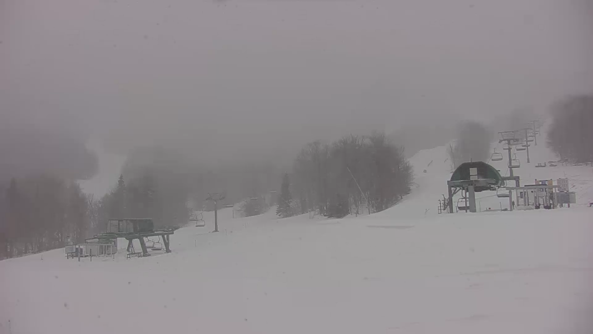
Deep winter at Jay today .
-
You have 6” more than me. We’ll see how this finishes but it’s a rare season where your area outperforms mine. 60” is pretty close to an F here. Only season with less in my time here was 15-16
-
What’s your average? Unless we get something rogue I won’t get to 75%
-
Quick 2” this afternoon .
-
5” here, great little pow day on the hill with no one there .
-
Jay was great today but probably more like 7-8” over that same period. Sticking around for tomorrow before heading back to Maine
-
What’s it look like tonight for the northern greens?
-
Puking fake snow at Jay right now. Sleeper pow day like you read about. .
-
5”. Great afternoon on the hill .
-
AWD and snow tires FTW
-
28, heavy snow .
-
Ya the NAM products are further east with the good dynamics but can’t find a model that doesn’t give someone in Maine an advisory event
-
Trend is for the secondary to develop later, still I’m surprised by that map
-
GYX not even remotely interested.
-
actually a decent airmass in place, last couple runs NAM spins up a weak secondary - that's how you'd get snow to the coast and the higher totals but I'd sell that for now. We've had bad luck this season inside 48 hrs, be nice for something to go right for a change.
-
Just flipped to snow, 37, winds starting to pick up as the CF approaches
-
Be on the lookout for an NYC weenie frothing at the mouth