

ORH_wxman
-
Posts
90,902 -
Joined
-
Last visited
Content Type
Profiles
Blogs
Forums
American Weather
Media Demo
Store
Gallery
Everything posted by ORH_wxman
-
Forecast/storm discussions and part II Manitoba Mauler
ORH_wxman replied to Damage In Tolland's topic in New England
Yeah central CT will get smoked...I'd mostly be a little nervous about going too high in far NW CT to Berkshires...esp west side of Berks...east slope prob still in monster territory -
I noticed NARR updated from this past winter....this is probably the best visual of the firehose from March 7-8 That's like 800 miles long.
-
Stumbled upon this last night...what a great 1-2 punch that was: http://www.easternuswx.com/bb/index.php?/topic/182826-sne-discussion-thread-for-122108-winter-storm/page__st__1480
-
Its almost impossible to reconcile hail with the thermal profiles the way they were. Especially since we had seeder-feeder from above...but the OKX sounding from 00z Feb 9th does temps approaching near 0C at around 900mb (the sounding craps out above that)...the lift must have been so powerful (like straight strong convection) to lift the supercooled droplets in the low levels to form low-level RA/ZR that then got lifted into colder sounding above.
-
That sounds like a real doozy.
-
Alaska/Western Canada obs and discussion
ORH_wxman replied to patrick7032's topic in Central/Western States
The Nenana Ice Classic is aiming for the latest melt out on record (97 years worth). I doubt it can last to beat the 1964 date of May 20th, but 2nd place is attainable if the tripod stands another 24 hours: http://www.nenanaakiceclassic.com/ Been an amazing spring (or lack of) up there. -
This one definitely had a lot of similarities to Feb '83...I remember thinking that too when the progs were about 72h out. Up here, it under performed compared to '83 due to more advection of dry air from the north...but definitely not down in that region.
-
 1. NAO blocking...where will it set up? Ensembles have been pushing the blocking further west, especially starting with yesterday's runs. But its been generally on the all of the ensembles (both Euro/GEFS) for about a week now. The only difference is it was more pronounced yesterday and it seems to finally be getting closer...at least the big east based block is now inside of 10 days. There is still plenty of reason to be skeptical of the west based blocking idea. HM has brought up the stratospheric state in the North Atlantic going forward in the near-term which would try to inhibit blocking from retrograding westward into the Davis straight region. 2. Aleutian ridge reconfiguration...temporary GOA ridge retrogrades west. This is something that is also becoming a bit more clear with guidance. The temporary GOA ridge (which originally was going to be more of a +PNA, but never got far enough east) that builds for the lakes cutter next week looks to retrograde back and then feed into the Aleutian ridge building poleward again...it temporarily has been beaten down a bit which is contributing to our recent torching in the CONUS. A more poleward Aleutian ridge is going to be key for sustaining arctic intrusion into the CONUS beyond the initial shot behind the Lakes cutter. As the GOA ridge is undergoing this rebuilding, we seem to have another window for a torch in the Dec 13-15 range. 3. Snow. A poleward Aleutian ridge and a -NAO (even if east based) has historically been a very snowy pattern for New England in December. Its not a guarantee but it increases the odds quite a bit. There is a chance we don't cash in because it is impossible to predict the nuances of any given shortwave or synoptic feature, but I think you can at least count on some legit chances as we move into the week of Dec 17-24. The pattern will look a lot different 10 days from now...of course whether we actually get snow events from it or not will decide whether weenies scream boom or bust. Here's a look at the GEFS prog for Dec 17-18...the EC ensembles are not quite as enthusiastic about the NAO, but definitely still have it and the overall longwave pattern is similar.
 -
Well its not like you missed it in NJ.
-
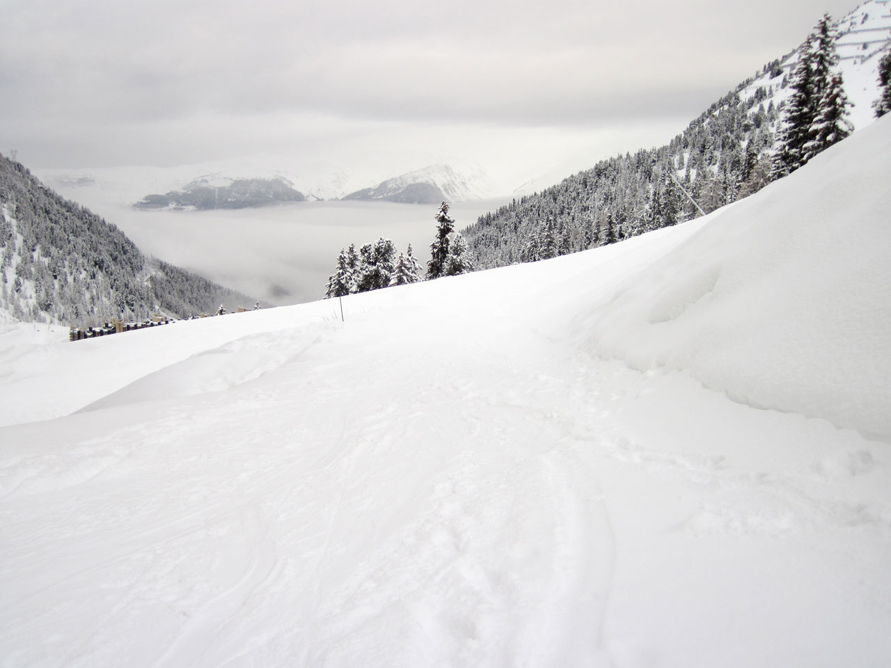
Those are pretty impressive pictures from PDII, you must have had at least 24" where you were looking at the reference points and where drifts might be.
-
I can picture you cringing saying the hills will get more, lol.
-
If Dec 2008 had happened during the work week, it prob would have given you 3 days off in a row.
-
We had a ton of long duration storms in 1993-1994 and 1995-1996...but otherwise its really kind of a farce...I love to think they happen more often than they do, but then I look back and see which storms lasted long, and I realize that a lot of them were in my school days so they become more vivid because of the snow days. That is the calculator at work that Ray despises. But those long duration events do happen...last really notable one I can remember is Dec 19-21, 2008 (actually two systems...but so was 1994 so many times)...but it happened on a weekend before Xmas so it doesn't stick out in terms of disturbing work or school. The amazing part of my stories is that all the delays would be the same if they happened now...its not like I'm talking from 1972 or something and since I deal with DOT people on a regular basis, I know exactly how it would be handled in 2012...but its likely you would have had the same days off as me...the only exception might be you get back to school one day earlier in December 1992. Maybe also one day earlier in Mar 1993...but that is debatable.
-
Well February vacation went in to part of the school days off. So it made it look even more impressive than the already ridiculous amount it was.
-
I was lucky in getting multiple snow days in a row so many times...obviously Dec 1992...we got 2 in a row in March 1993 later that winter too even though the storm was less impactful here and ended at the same time (predawn hours Sunday morning)....but it was was still 21" of snow. But it was underforecast here like Dec 1992...they said 7-14" of snow for March 1993 and said 20" would be west of us. Then I got a dual snowdays off in Jan 1994 when we had back to back storms overrunning us on Jan 7-8 I think, i could be off a bit on the dates...the storm wasn't very memorable so that's why I could be off on the date. The day it started we got off, but we probably could have gone to school, it didn't start until about 8am...but it lasted a long time and it flipped to sleet and maybe even ZR for a time before going back to snow..long duration storm. Like a 36-40 hour deal. Then we actually got 2 days off in blizzard of 1996 even though we were too far north for the jackpot...we got crushed on Monday morning....but we already had a 20" snow pack before that storm happened...so they cancelled Tuesday even though the snow stopped around midnight that monday night into tuesday...because the sidewalks and side streets were so poorly plowed and shoveled that they had to call it.
-
Ryan, that is pretty good coverage man...you were actually one of the first TV mets to go gung ho on that storm for both your market and BOS market...that was a big thing, non of the TV mets wanted to pull the trigger...but you did a pretty good job on pulling it even though it killed you to do it with Kevin's floating head in your mind, lol...just kidding. That is some good video.
-
Youngsters like weatherMA and ma_blizzard would have been in nirvana in ORH during Dec 1992 since school was out until Thursday or Friday despite the fact the storm started Friday and ended late Sat night into early Sunday morning.
-
The closest thing I saw to the 2008 power outages previously was December 1992 previously where the southern ORH county towns got destroyed because the snow stayed wetter. Towns like Auburn and Douglas and Uxbridge and Charlton MA were destroyed in that via the power grids. If you look it up on google you probably can find some good info. ORH actually "lucked out" in that one despite lots of power outages in that the heaviest snow on late Friday night was more like a 28-29F snow vs like 31-33F just tot he south while the sfc front hung there.
-
I was actually going to add this line at the end, but didnt, lol...you thought like me...we will probably never see it in our lifetimes, but one day an October ice storm might happen...whether its 100 year or 2,000 years from now no matter what any of us think about global warming or what not. One day there will be an airmass so anomalous or the climate shifts and there is a 2008 ice storm with leaves...imagine that? Both storms show the power of nature with or without leaves...but the ice is just darn destructive on a rate basis.
-
No I've never seen it. I thought about writing a book on it though, lol. I probably will someday after I'm done with my SNE snowstorm book that Phil and I will eventually do.
-
That damage in the Farmington valley was on par with the ice storm damage here I saw in ORH county...I'm not sure if it was as widespread in arial coverage but the fact it covered such a large population made it just as impressive. I think the two storms are awesome in showing the power of two different things....first the power was 12"+ wet snow with leaves on the trees and the absolute destructive power of ice without leaves. (IIRC you covered some of the damage in 2008 in Holden, MA because you called me asking where to go).
-
There piles in the local shaws here from October...they got down to about 2-3 feet in height before the January "infusion" of snow...so they are crusted underneath what's left of January.
-
2008 is it for me since I wasn't alive in '78...my parents had just started dating back then, lol. My mom actually got trapped at my Dad's pad in Boston because of the '78 storm, she went straight to his place from work since she lived in Arlington but worked downtown in the state building for the Governor (I think Dukakis at the time)...and decided it would be easier to get to my Dad's place in Boston rather than try and get back to Arlington (she parked in a garage at the building instead of riding the rail)...and ended stranded at my Dad's for about 6 days. Cool story anyway. 2008 was sickening damage...Dec 1992 was kind of close here (I think you said you were in Lowell at the time)...but Dec 1992 shut down the entire city of ORH for literally 3-4 business days even though though the storm started Friday and ended on Saturday night...everything was closed from Mon-Wed and many were closed Thursday too.
-
Huh? Did you mean 2001? If you meant 2001 you are probably thinking of the Nov 16, 2002 ice storm in CT...yes, November....really early, but it smoked the higher elevation of CT with a lot of ice damage. It wasn't devastating like 2008 in MA or '73 in CT, but it was pretty bad. Def the worst ice storm in CT in the past decade.
-
You are thinking of the Dec 16, 1973 ice storm if you were in CT at the time...that was the worst ice storm there in the past 50 years minimum...possibly 100 years. The 2008 ice storm here had local effects worse than Oct 2011 and I think part of the reason Oct 2011 wasn't as bad was because of the Dec 2008 ice storm...it pruned so many large vulnerable branches that weren't there to get ripped off in 2011 like in the lowest parts of ORH and obviously down in Hartford and including Kevin's Tolland CT...most of CT except higher spots in Litchfield county avoided much damage in Dec 2008. Oct 2011 still had some good damage here, but it could have been so much worse if 2008 hadn't happened before it...but of course we went through the disaster 3 years earlier with people not having pwoer for 7-14 days around here back then. Most people in this area in October got it back within 5 days this time. I was out for about 60 hours.