

ORH_wxman
-
Posts
93,092 -
Joined
-
Last visited
Content Type
Profiles
Blogs
Forums
American Weather
Media Demo
Store
Gallery
Everything posted by ORH_wxman
-
EPS lost the cutter Hopefully it doesn’t come back.
-
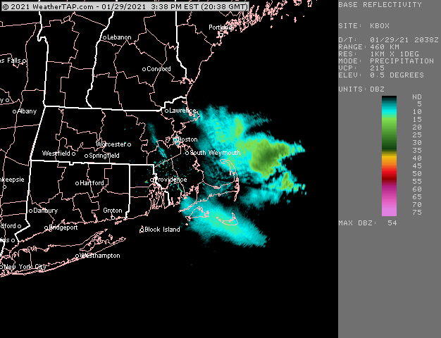
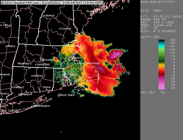
I like where I am too for getting absolutely firehosed for about 8-10 hours.
-
Yeah that’s prob a good way to put it. If the ULL looked more like the RGEM it would be a longer duration event. But it’s a bit of an outlier in that regard. Most of the guidance elongates this thing aloft and keeps it moving steadily even if not super fast.
-
Deformation on that 06z run is back over MSS and SLK. This is definitely more like a 12-15 hour storm in terms of the real accumulating stuff.
-
Yeah we want the euro solution. This would be fine...it’s actually a pretty sweet look for about 8-10 hours...but prob like 8-12” in a big front end thump and then dryslotted with shredded snow showers for another 12-18 hours.
-
Elongated h5 big time. Storm is mostly 12 hours for the goods.
-
Funny you point that out because that is a lot how Mar 2013 looked too. Saw this QPF Max over coastal E MA. To be fair, this firehose doesn’t look as prolific as that one but it’s still impressive.
-
It’s not a very rapidly deepening system when you look aloft. It’s strengthening but not bombing out. So that sort of limits the magnitude of the lift. However, I’ve noticed that models will sometimes under forecast QPF in favored areas on deep layer easterly flow so we'll have to see how it looks as we get closer.
-
Wow nice looking euro run. Getting more peeps in on the goods.
-
It’s also 3+ days out still for much of the region. It’s always easier increase as you get closer than back off from a public reaction standpoint.
-
Euro was kind of east in the mid-Atlantic. Didn’t have the PA jack. More like SE NJ
-
So close, yet so far...we’ll see if CHH can grab a couple though
-
Maybe CHH to ACK can get clipped by some of the better stuff
-
This is the type of system where you might see a big CT river shadow out in W MA and then another localized max on east slope of Berks if the ML stuff stays mostly to their east. That would leave them mostly dealing with the firehose which has more terrain influence.
-
Yes...the highest risk is marginal temp thumps....the model will often try and keep sfc temps at 34F or something and in reality it cools to 31-32F. I think in the Euro's case, it is not showing exceptionally heavy rates on the 6 hourly QPF....so this probably helps the model keep sfc temps in that 34-35F range for a chunk of interior SE MA rather than closer to 32F as it has pretty good BL flow out of the due east. My guess is in reality, that is going to be colder if they are getting mod to heavy snow....but if rates are kind of meh, like 0.07-0.08 per hour stuff in the bucket...then they could certainly struggle somewhat early on.
-
I'd bet a little east...on the east side of ORH hill spine.
-
I'm skeptical of like 35F in Foxborugh with 925 temps of -2C to -3C. I'd think that type of lapse rate is only going to happen right near the water.
-
E CT is prob a good spot for some deformation goodies even though they are west of the max QPF.
-
Yeah I love the N stream insert going on...it's gonna back in nicely i think
-
Shitstreak is stronger....though N stream is diving in better too, so this might be a late bloomer/left hook.
-
This is still one of the more hilarious terms that was created this season.
-
GGEM lost the cutter....buried the energy offshore of CA.
-
Wide right turn and then it comes almost due north to still hit many very good...but that trend is following what we saw on the 00z and 06z EPS.
-
GGEM is going to be SE of the 00z run.
-
It would be helpful if more northern stream energy injected...ala Euro.

