

ORH_wxman
-
Posts
93,092 -
Joined
-
Last visited
Content Type
Profiles
Blogs
Forums
American Weather
Media Demo
Store
Gallery
Everything posted by ORH_wxman
-
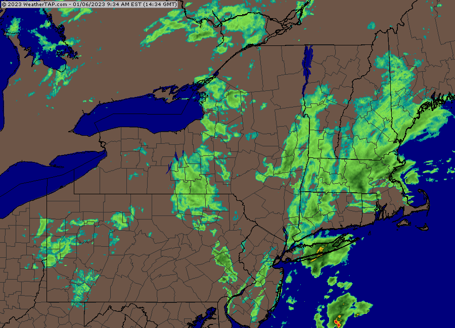
Best snow growth of the day now. Finally sticking to the roads.
-
Harry Markopolis was a hedge fund guy in Boston and he told the SEC like 5 times it was either a Ponzi scheme or front-trading and they basically ignored him even though he had all the mathematics to back it up based off of Madoff’s returns.
-
We’re gonna break out the snow blowers for a 3-6” fluffer later this winter.

-
Hours and hours of shit snow growth but at least it looks a bit like winter again.
-
Yeah no doubt its warmer. That shouldn't be affecting model performance though....in fact, if anything, our model performance has vastly improved in the past decade. Tracking a storm even 7-8 days would get you laughed off the forum with a weenie tag 10 years ago. Now, we've often tracked some of our biggies that far out (or even longer). It used to rarely be like that....now it's not super uncommon even if still abnormal. I think the model changes are just more amplified in everyone's mind when we haven't gotten shit for snowstorms and we keep missing our brief windows of favorable setups.
-
It's been pretty shit snow growth most of the day here...I'm about 6-7 miles north of there with a little more elevation and it's like a half inch on grassy surfaces and non-pavement.
-
I don’t think climate change has anything to do with model guidance shitting the bed on synoptic setups. There’s no secret “climate change parameter” in the models. Climate change doesn’t magically make the laws of physics and thermodynamics change. The model guidance is simply ingesting data and then running out the equations in time. La Niña can often be a b**ch on model guidance and that is probably partially the reason we’re seeing these swings. Some of it just random variance too going against us. When models trend favorable in medium range, we aren’t usually saying “I can’t believe how bad the models are that they all of the sudden trended much better with the confluence!”
-
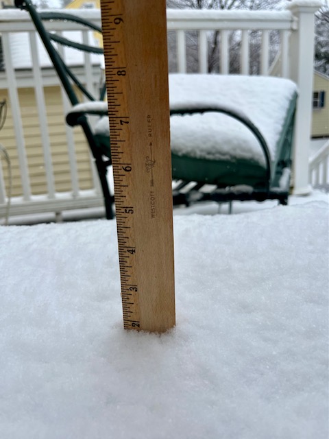
About 2” on winter hill as of 15 min ago….now passing 2”
-
Models f**king up the PAC killed December....they still suck at handling the PAC, but this time, now they are mucking up the Atlantic where our confluence was coming from.
-
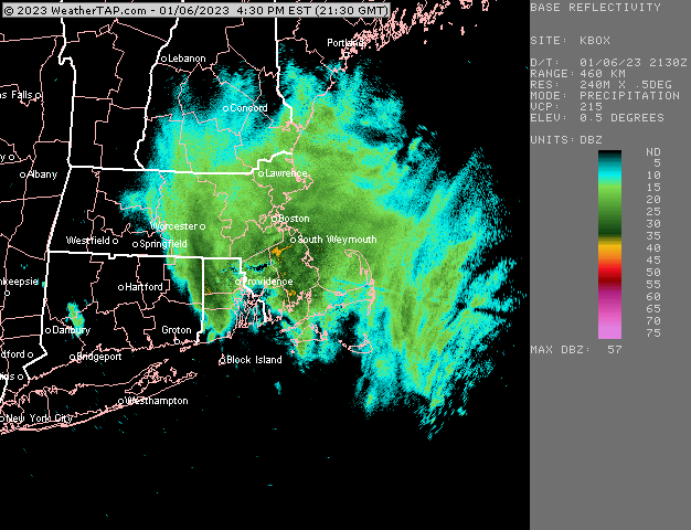
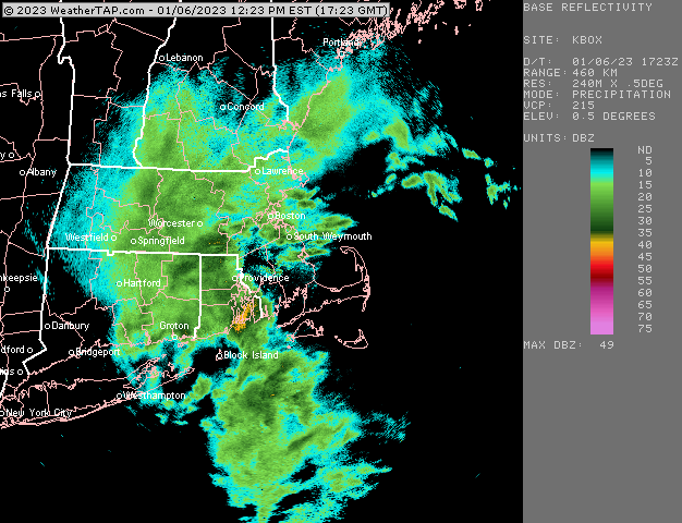
Rates just aren;t that good here. Everything whitening up, but we're prob more in line for a sloppy inch (maybe two) than the 3-4" I was hoping for. But we knew we'd need the rates for it. Radar still blossoming though, but I think it looks a bit better for northeast MA than here.
-
I mean, nothing would surprise me at this point....it's kind of funny actually like Scoot said when random PV lobes disappear....seems like Murphy's Law applies right now. Hopefully if that happens, you bring lots and lots of booze up north for your trip.
-
Starting to stick to grass and other non-paved surfaces here. A nice steady light snow...prov vis less than a mile but it's not moderate/heavy.
-
Every model had it except Euro. Ukie had it too even though it stops at 144.
-
Where did the PV lobe go? Lol....just disappeared.
-
Finally back to steady snow here...hopefully we're done with the sucker holes. In theory, those echoes should intensify as they move east from ORH county and western MA.
-
We had some huge aggregates a few min ago but back into another mini sucker hole...can't seem to escape them so far. But clearly if we get under some steady echoes, it wants to snow, so hopefully we can get a nice 3-4 hour burst here starting soon.
-
GEFS were quite a bit snowier than the 06z run....there must be a lot of good members in there.
-
Just started snowing again here with those echoes.
-
GFS also digs the trough into Florida. Where's the southeast ridge all the experts were telling me was there when we need?
-
Should go back to rain when the warm front from Albany moves through.
-
You wasted one of your 5 posts on that? You hate to see it.
-
Yeesh, that's getting close to something good. Seems like it's going to be a tease though....but who knows, we've seen worse trend strongly inside of 84 hours.
-
Pretty good echoes developing in SW CT right now...as that pushes east, more echoes should fill in and we'll see if they can intensify for a good 3-4 hour burst this afternoon. That's what to watch for int he next few hours
-
Massive fatties at WaWa (time sensitive) https://www.wachusett.com/the-mountain/media-center/webcams/
-
Lift is a lot better with the midday/afternoon stuff.


