

ORH_wxman
-
Posts
93,099 -
Joined
-
Last visited
Content Type
Profiles
Blogs
Forums
American Weather
Media Demo
Store
Gallery
Everything posted by ORH_wxman
-
Prob some decent members in there
-
It got slightly more juiced synoptically but the WINDEX aspect of it really ramped up. We got those crazy intense squalls that gave a lot of people 2”+ just from the squalls.
-
All Of us should see some snow showers but if we can get a little bit of moisture influx from the south as it hits the Atlantic, that could help with more widespread accumulations. We’d want that whole system to dig a bit more.
-
Getting stein in February sucks...fairly often you get pretty good precip in February when it's cold too because the seasonal recovery is already rapidly underway down south so you get these juiced baroclinic zones....not early on this month.
-
Skynet looked kind of interesting next week....OP GFS doesn't.
-
I love how it’s a clown range solution that’s a whisker away from a SWFE as proof it’s cutter season.
-
Gulf coast has been getting some ridiculous cold the last couple winters. Also 2 big snow events in the far southeast. Last year it was the FL panhandle getting a blizzard with like a foot of snow and then this year we had this weekend’s storm in SC and NC coastlines.
-
ORH finally hit 20F today. They got 8 in a row without hitting it which puts that steak alone in 3rd place behind 1961 and 1979 which tied with 10 each.
-
SSWE would affect us in the first half of March if it ends up being an impactful event. The vortex split is ongoing but the max warming actually occurs closer to mid-February. Usually a mid-Feb SSWE is felt by us in 2-3 weeks so that would place us in very early March. That’s actually what happened in the 2018 Niña. Occurred during mid February and really was felt in March. It also happened in the 2001 Niña. Both produced extreme blocking patterns that really enhanced storm potential those months. Both of those years also had relaxations in second half of February. 2018 had a full torch with temps near 70F.
-
Not necessarily. We will prob build up some pretty strong Feb negative departures the first week-plus…so even if we torch for 5-7 days, that may just get us back near normal or maybe not even if the torch isn’t super strong. Ideally it’s just a relaxation closer to climo. If it was 2015, we’d get 2 feet of overrunning while the rest of the country torches during the relaxation.
-
It could. But it doesn’t always. Sometimes the NAO will link up with a SE ridge which will torch us. We’ll have to wait and see as we get closer.
-
BOS was -1.9F on their January departure. But it was def an outlier compared to other parts of SNE. ORH -2.9 PVD -2.8 BDL -3.1
-
There are legit risks for a true mild spell mid-month. I wouldn’t be going all Torch Tiger yet about it due to the -NAO blocking throwing a wrench in there, but we shouldn’t pretend it’s just going to disappear automatically. Bering vortex is a very warm signal usually.
-
Possible coastal storm centered on Feb 1 2026.
ORH_wxman replied to Typhoon Tip's topic in New England
Wow you mean weather enthusiasts discuss the chance of a big storm on a weather forum? Who knew? We should all stay silent until it’s a lock…that sounds very intellectually stimulating! -
It might not be that cold mid-month. But if it’s near climo, that’s usually good enough in mid-February. Ideally we’d get the reload for late Feb and into first half of Mar when climo starts going the wrong direction at a faster pace. Remains to be seen on that part.
-
Possible coastal storm centered on Feb 1 2026.
ORH_wxman replied to Typhoon Tip's topic in New England
South shore OES might be the winners in this one. Even more than ACK. -
We get a transient AK/Bering vortex but we also have a -NAO. Normally we’d prob torch for several days, but we’ll see if NAO block mutes that. We do get another -WPO reload…pattern looks pretty active though after next weekend so I think we’ll have chances. Hopefully we can score a good event during the relaxation period and not have it cut.
-
I agree with you…just was pointing out that those maps (esp near us due to regional climate variability) will make it look a lot warmer than our more conventional departures would suggest given the ‘51-80 base period….january was def more -AO so prob larger mid-latitude bands of colder airmass.
-
That’s using 1951-1980 normals though…which is also the coldest 30 year period in winter for a chunk of NE in the last 100 years (gotta go back to earlier 20th century to beat it)….much easier to get BN on ‘91-20 normals.
-
I’m more impressed with 31F at PBI. Not easy to get below freezing at West Palm Beach
-
I still think next week could produce…but that’s getting into clown range.
-
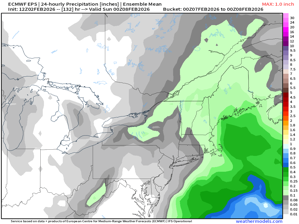
The clipper looks more paltry now. Could come back more as a redeveloper but last night’s guidance didn’t like it. You’ll want to see improvements over the next day or so if we want anything more than coatings to an inch.
-
If it’s top-down (they usually are but not always), a February disruption usually takes about 3-4 weeks to affect the troposphere. If it’s bottom-up, then the troposphere is actually affected first.
-
Yeah there is actually a strat vortex split that occurs in early February in pretty much all guidance.
-
EPS likes 2/7 and then again a week later in the 2/13-14 timeframe. We’ll see if we can get a stronger signal as we get closer.


