ChasingFlakes
-
Posts
549 -
Joined
-
Last visited
Content Type
Profiles
Blogs
Forums
American Weather
Media Demo
Store
Gallery
Everything posted by ChasingFlakes
-

E PA/NJ/DE Winter 2019/2020 OBS Thread
ChasingFlakes replied to Rtd208's topic in Philadelphia Region
Dont forget about March. I'm off Sunday so I am planning to head up to either blue mtn or elk. It almost seems like elk is missing some of the QPF to the south on models, but they will stay much colder than blue so ratios will likely be better. Also planning a NE trip next weekend. Looks like there will be something over the weekend, hopefully it comes together throughout the week. Playing it by ear but will likely end up in NH and VT. -
E PA/NJ/DE Winter 2019/2020 OBS Thread
ChasingFlakes replied to Rtd208's topic in Philadelphia Region
We had a day in February last season that was above 70f. Cant remember the exact high but I went snowboarding in a T-shirt. -
E PA/NJ/DE Winter 2019/2020 OBS Thread
ChasingFlakes replied to Rtd208's topic in Philadelphia Region
Round two of the squalls coming through. -
E PA/NJ/DE Winter 2019/2020 OBS Thread
ChasingFlakes replied to Rtd208's topic in Philadelphia Region
Yeah I was dead center under that pink blob in this radar image. It started with those dense balls of snow, it sounded like it was pouring outside on the roof, but then switched to heavy fine snow with some wind gusts and then slowly tapered off. It's now fully sunny here 20 minutes later. -
E PA/NJ/DE Winter 2019/2020 OBS Thread
ChasingFlakes replied to Rtd208's topic in Philadelphia Region
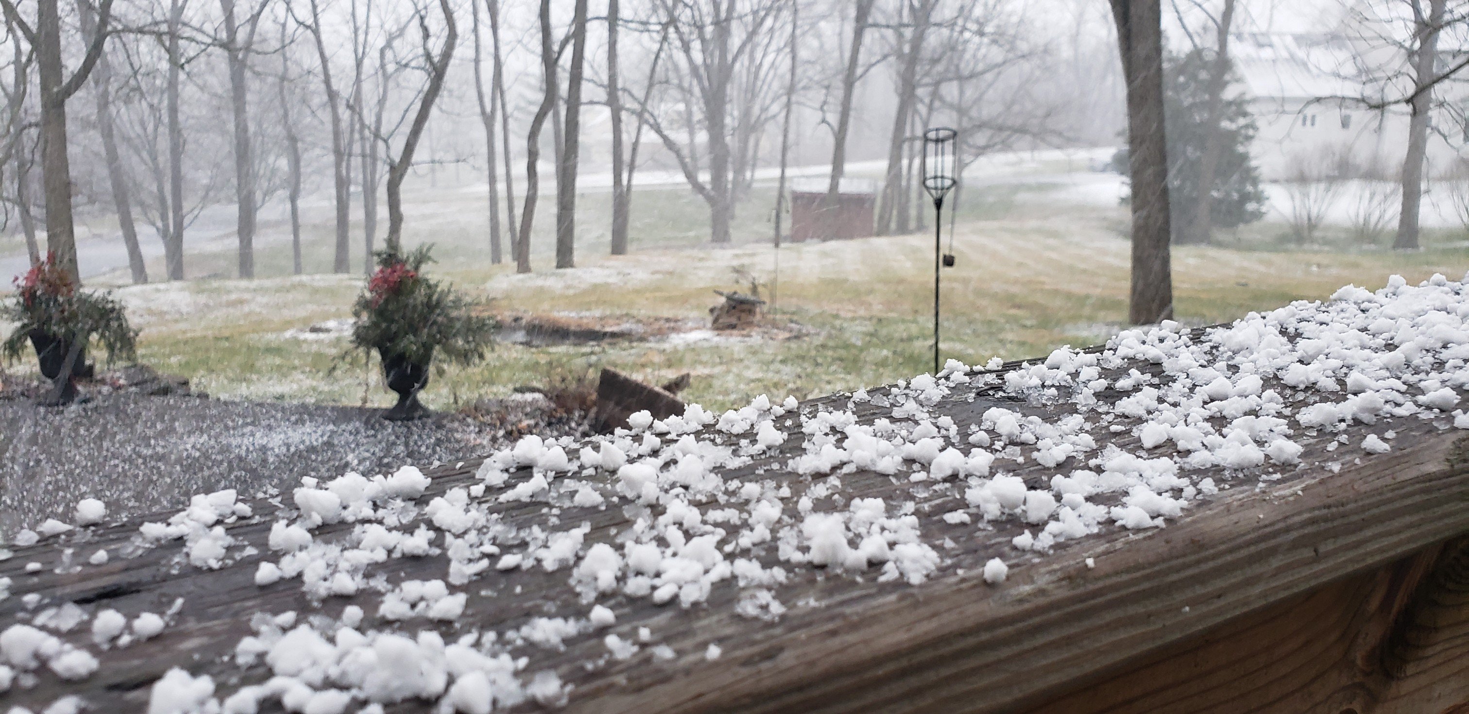
This squall coming through is really ripping. Dumping 1/4-1/2" balls of snow and the roads instantly caved.
-
Tuesday January 7 Potential Snow Event
ChasingFlakes replied to ChescoWx's topic in Philadelphia Region
Still steady snow in phoenixville. Tapered off between 6-7pm but picked back up. -
E PA/NJ/DE Winter 2019/2020 OBS Thread
ChasingFlakes replied to Rtd208's topic in Philadelphia Region
I saw some flakes at 4am and 12pm on the 1st but it was at a 5 flakes per minute type rate. Went up to Bear Creek last night and it was pretty bare.. but it was nice to get out and my foot felt good.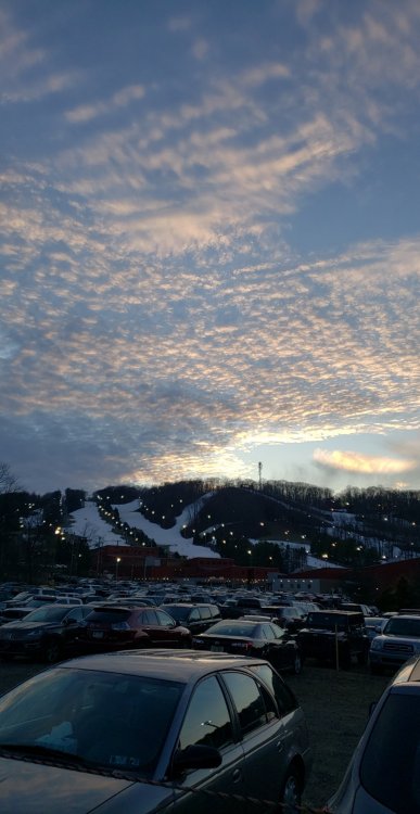
-
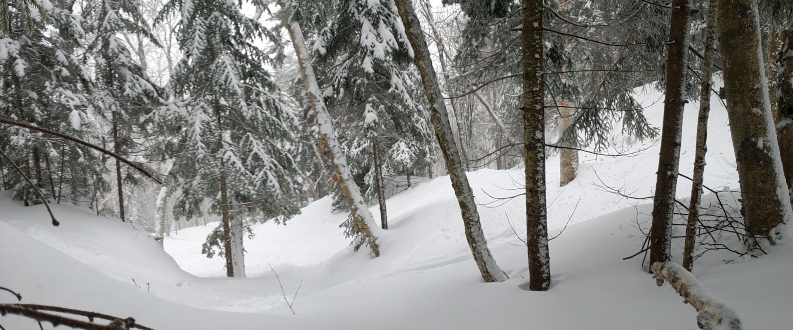
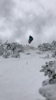
I havent been too active in regards to tracking as my foot has been injured since the first week of September and I really thought I may never be able to snowboard again. I was beginning to grow bitter after 3 1/2 months of failed treatments. But it must be a Christmas miracle because it's finally starting to feel better, no more pain in the ball of my foot with each step. We were never able to diagnose a cause, x-ray, MRI, blood test, and ENG (nerve test) were all normal aside from some mild inflammation (bursitis between 1st and 2nd metatarsal) shown on the MRI. Cortisone shot didnt do jack, but we tried a boot for the past month as a last ditch effort to help. That must have done the trick, along with taking time off work, as this past week I've been mostly pain free! Time to rehab it and get back to chasing flakes. I cant say how grateful I am to have my health and have you guys here tracking these storms. This injury really put everything into perspective, as it has really affected my mental health these past few months. You guys are such an awesome resource for knowledge and I just want to thank you all and wish everybody a happy holiday. Let it snow!! Here's a short and simple edit I did for class of last year's snowboard season. Most clips are from Vermont featuring Jay Peak, Smugglers Notch, Magic Mountain, Mount Snow and theres one PA blue mountain clip.
-
E PA/NJ/DE Winter 2019/2020 OBS Thread
ChasingFlakes replied to Rtd208's topic in Philadelphia Region
Are you talking about Stowe, VT or PA? -
E PA/NJ/DE Winter 2019/2020 OBS Thread
ChasingFlakes replied to Rtd208's topic in Philadelphia Region
Fish pond has a solid sheet of ice on it. -
E PA/NJ/DE Winter 2019/2020 OBS Thread
ChasingFlakes replied to Rtd208's topic in Philadelphia Region
Another good squall this time a with a coating. Accumulating on roads and also blowing around a bit. -
E PA/NJ/DE Winter 2019/2020 OBS Thread
ChasingFlakes replied to Rtd208's topic in Philadelphia Region
Getting a nice burst of snow right now near phoeonixville. Coming down pretty good. -
Snow, sleet, ice, and rain Dec 16-17, 2019
ChasingFlakes replied to Ralph Wiggum's topic in Philadelphia Region
Light snow this morning, was mixing with flakes then some solid pingers about 10 minutes ago, now I think it's mostly light rain in phoenixville. Edit: back to sleet. -
Rain to Snow Event Dec 10-11, 2019
ChasingFlakes replied to Ralph Wiggum's topic in Philadelphia Region
About a half inch of wet heavy snow on the ground. Flakes turned from pancakes clumping up to now more condensed, and drier, just under pea-sized pellets. Not sticking to roads and theres no accumulation about 18 inches out from the perimeter of the house. -
Rain to Snow Event Dec 10-11, 2019
ChasingFlakes replied to Ralph Wiggum's topic in Philadelphia Region
Already have a good coating. Fat flakes coming down steadily. -
Rain to Snow Event Dec 10-11, 2019
ChasingFlakes replied to Ralph Wiggum's topic in Philadelphia Region
Just switched to light snow in phoenixville. -
Light rain mixing with a flake or two in Phoenixville. Not sure if it snowed this morning but I'll be lucky to see much of any accumulation this evening.
-
Rain and sleet here in pville too.
-
Snow at Temple.
-
Large tree down across Charlestown Rd near Chruch Rd and Pickering Dam Rd. Extent of the damage in my yard is some poor kids halloween bag lofted about 70ft into one of the large trees.
-
Impressive lake effect firing over tug hill and western NY/PA.
-
I noticed that too, gusts are actually pretty strong and very sustained. Wish I could measure them.
-
Definitely not 60mph gusts here, maybe 30 tops but I havent noticed too much wind just a lot of rain and some lightning. Edit: just after I posted this there is a strong sustained gust. Wish I could measure it, definitely not 60 but enough to make the house creak and the lights flicker. Sounds a bit like a jet taking off outside.
-
I heard a distant rumble when I went out to my car but it was far away. Starting to rain hard with strong gusts here. Also some person in my neighborhood put flyers in everyones mailbox trying to cancel halloween due to poor weather.. it didnt start raining again until 10pm, it was low 70s and tomorrow is going to be chilly with a high of 51/low of 32 forecast. They clearly dont follow the weather and you cant change a damn holiday.
-
The severe T-Storm warning issued at 10pm stated 60mph gusts and >.75in hail. This will definitely be the last day of fall colors. Report said little to no lightning as well, although I'm seeing a good bit of lightning to my NNW.