.gif.a8150e126cebc480193fad2934fe975c.gif)
Torch Tiger
-
Posts
16,261 -
Joined
-
Last visited
Content Type
Profiles
Blogs
Forums
American Weather
Media Demo
Store
Gallery
Everything posted by Torch Tiger
-
.thumb.gif.f92b16c631a1d15d405ed77b33f0710d.gif)
November 2025 general discussions and probable topic derailings ...
Torch Tiger replied to Typhoon Tip's topic in New England
you have been here long enough to know it's only the ones that look like shit. -
November 2025 general discussions and probable topic derailings ...
Torch Tiger replied to Typhoon Tip's topic in New England
big winter underway! -
November 2025 general discussions and probable topic derailings ...
Torch Tiger replied to Typhoon Tip's topic in New England
is that your first accumulation near the base? I know you have seen snow.. -
Overnight Wednesday, November 5, 2025 Wind Event
Torch Tiger replied to weatherwiz's topic in New England
Max gusts dropped from like 45mph to 40 here. Nbd -
Overnight Wednesday, November 5, 2025 Wind Event
Torch Tiger replied to weatherwiz's topic in New England
Looks basically the same, minor cut back -
Overnight Wednesday, November 5, 2025 Wind Event
Torch Tiger replied to weatherwiz's topic in New England
are you talking wind or snow? I recall that storm well and snowfall was very well-forecasted, as were winds...besides the really high-end reports. NWS at least, didn't hit on the far SE/ CC wind impacts but that was extraordinary. Great storm -
Overnight Wednesday, November 5, 2025 Wind Event
Torch Tiger replied to weatherwiz's topic in New England
I'm not really seeing any big changes from 12z near the S shore -
Overnight Wednesday, November 5, 2025 Wind Event
Torch Tiger replied to weatherwiz's topic in New England
pretty much the same as 12z? -
Overnight Wednesday, November 5, 2025 Wind Event
Torch Tiger replied to weatherwiz's topic in New England
Maybe ORH hits 60 or 65, but probably 20-30 g50 here. nbd -
November 2025 general discussions and probable topic derailings ...
Torch Tiger replied to Typhoon Tip's topic in New England
Gusting over 40 in Stratham -
November 2025 general discussions and probable topic derailings ...
Torch Tiger replied to Typhoon Tip's topic in New England
Ok -
November 2025 general discussions and probable topic derailings ...
Torch Tiger replied to Typhoon Tip's topic in New England
oke snow? -
November 2025 general discussions and probable topic derailings ...
Torch Tiger replied to Typhoon Tip's topic in New England
I saw lightning rn. -
November 2025 general discussions and probable topic derailings ...
Torch Tiger replied to Typhoon Tip's topic in New England
Too? -
November 2025 general discussions and probable topic derailings ...
Torch Tiger replied to Typhoon Tip's topic in New England
what event -
November 2025 general discussions and probable topic derailings ...
Torch Tiger replied to Typhoon Tip's topic in New England
The good news is we're FLYING through November and it'll be Christmas-NYE soon! Hopefully no snows until then. -
November 2025 general discussions and probable topic derailings ...
Torch Tiger replied to Typhoon Tip's topic in New England
cold, sucks. -
November 2025 general discussions and probable topic derailings ...
Torch Tiger replied to Typhoon Tip's topic in New England
Looks like normal "" Mowvember. Slightly above average -
November 2025 general discussions and probable topic derailings ...
Torch Tiger replied to Typhoon Tip's topic in New England
Borrow Ginxs phone for that pic? sheeeesh -
November 2025 general discussions and probable topic derailings ...
Torch Tiger replied to Typhoon Tip's topic in New England
Used to be October/early Novie first flakes, now lucky if its before Thanksgiving. -
Spooky Season (October Disco Thread)
Torch Tiger replied to Prismshine Productions's topic in New England
Prune juice kicking in? -
Spooky Season (October Disco Thread)
Torch Tiger replied to Prismshine Productions's topic in New England
A few light gusts here. Nothing notable -
November 2025 general discussions and probable topic derailings ...
Torch Tiger replied to Typhoon Tip's topic in New England
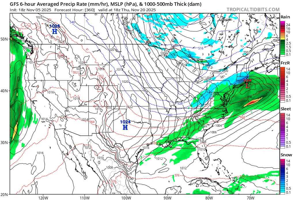
I am all for folks posting LR model stuff, even an 18z gfs wonked out 360hr. solution. knowing it is not to be taken seriously.? -
November 2025 general discussions and probable topic derailings ...
Torch Tiger replied to Typhoon Tip's topic in New England
AI is weird at that range. Lets at least use ensemble ? lol