Sernest14
-
Posts
457 -
Joined
-
Last visited
Content Type
Profiles
Blogs
Forums
American Weather
Media Demo
Store
Gallery
Everything posted by Sernest14
-
Richmond Metro/Hampton Roads Area Discussion
Sernest14 replied to RIC Airport's topic in Mid Atlantic
now grass and mulch caving -
Richmond Metro/Hampton Roads Area Discussion
Sernest14 replied to RIC Airport's topic in Mid Atlantic
All snow now for the last 15-20, starting to stick to roof, fence and grill cover -
Richmond Metro/Hampton Roads Area Discussion
Sernest14 replied to RIC Airport's topic in Mid Atlantic
Had switched back to mostly rain , now some flakes mixing in -
Richmond Metro/Hampton Roads Area Discussion
Sernest14 replied to RIC Airport's topic in Mid Atlantic
sleeting in Ashland now -
Richmond Metro/Hampton Roads Area Discussion
Sernest14 replied to RIC Airport's topic in Mid Atlantic
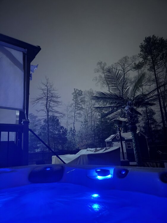
Hot tub and a beer- great band were under in ashland 79349629684__A032B456-5E95-4554-8B1F-C3BA160FB9C7.MOV -
Richmond Metro/Hampton Roads Area Discussion
Sernest14 replied to RIC Airport's topic in Mid Atlantic
It’s been dumping as soon as the flip in Ashland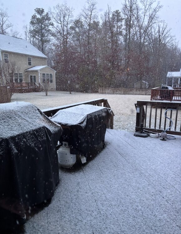
-
Richmond Metro/Hampton Roads Area Discussion
Sernest14 replied to RIC Airport's topic in Mid Atlantic
that NAM depiction looks a lot drier than current radar for current -
Richmond Metro/Hampton Roads Area Discussion
Sernest14 replied to RIC Airport's topic in Mid Atlantic
Sitting at 41 now- about 2-3 degrees cooler than modeled on nam. Didnt hit 41 until 4am there -
Richmond Metro/Hampton Roads Area Discussion
Sernest14 replied to RIC Airport's topic in Mid Atlantic
Not that it’ll pan out but while good, it was worse for both going back to midday yesterday -
Almost nailed the last storm with 6+ inches from nc line to almost Fredericksburg til day of
-
Richmond Metro/Hampton Roads Area Discussion
Sernest14 replied to RIC Airport's topic in Mid Atlantic
It’s those weather balloons -
Richmond Metro/Hampton Roads Area Discussion
Sernest14 replied to RIC Airport's topic in Mid Atlantic
Hurricane tracking in January with that map view? lol -
Richmond Metro/Hampton Roads Area Discussion
Sernest14 replied to RIC Airport's topic in Mid Atlantic
That 2nd low looks way behind and not really building yet down off Florida -
Richmond Metro/Hampton Roads Area Discussion
Sernest14 replied to RIC Airport's topic in Mid Atlantic
nam looks more east with the low similar to 0z -
Richmond Metro/Hampton Roads Area Discussion
Sernest14 replied to RIC Airport's topic in Mid Atlantic
Needs to happen quick- running out of time -
Richmond Metro/Hampton Roads Area Discussion
Sernest14 replied to RIC Airport's topic in Mid Atlantic
Just ChatGPT’d the map and it basically downgraded everything the nbm shows for this area. Pretty interesting read. Asked it what ratios are used and why it shows so high compared to many models tha show 0-1” -
Richmond Metro/Hampton Roads Area Discussion
Sernest14 replied to RIC Airport's topic in Mid Atlantic
I don’t understand everything showing minimal snow then that shows up on a blend model -
Richmond Metro/Hampton Roads Area Discussion
Sernest14 replied to RIC Airport's topic in Mid Atlantic
Definitely a tough one- euro and sref vs every other model. Barely touch an inch of snow from everything outside those 2 -
Richmond Metro/Hampton Roads Area Discussion
Sernest14 replied to RIC Airport's topic in Mid Atlantic
it’s pouring - getting really bad out -
Richmond Metro/Hampton Roads Area Discussion
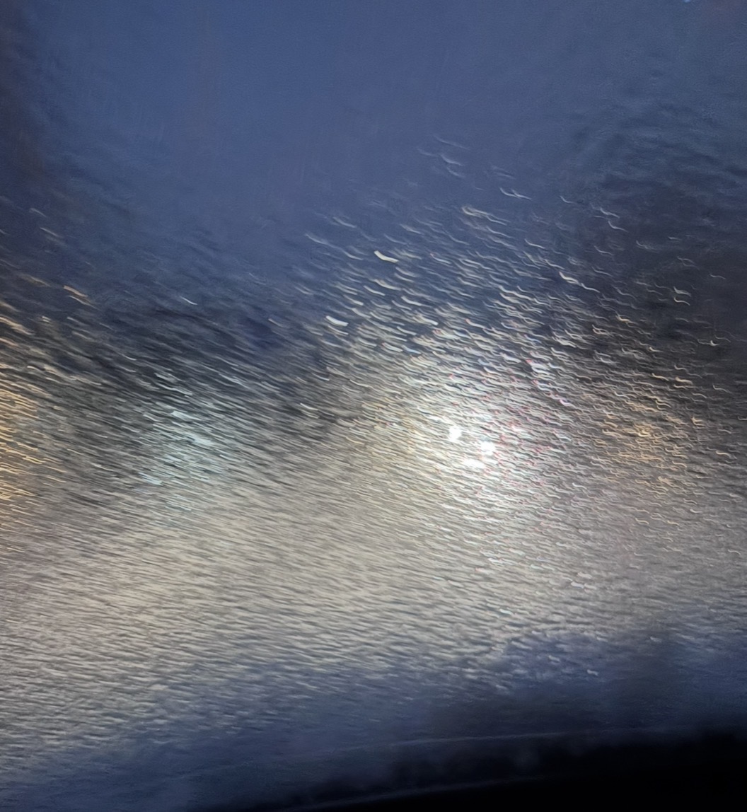
Sernest14 replied to RIC Airport's topic in Mid Atlantic
This ice is no joke- Left to go pick up brownies for my daughters birthday about 400 yards away- this was when I got back in my car to comeback after I had just cleared it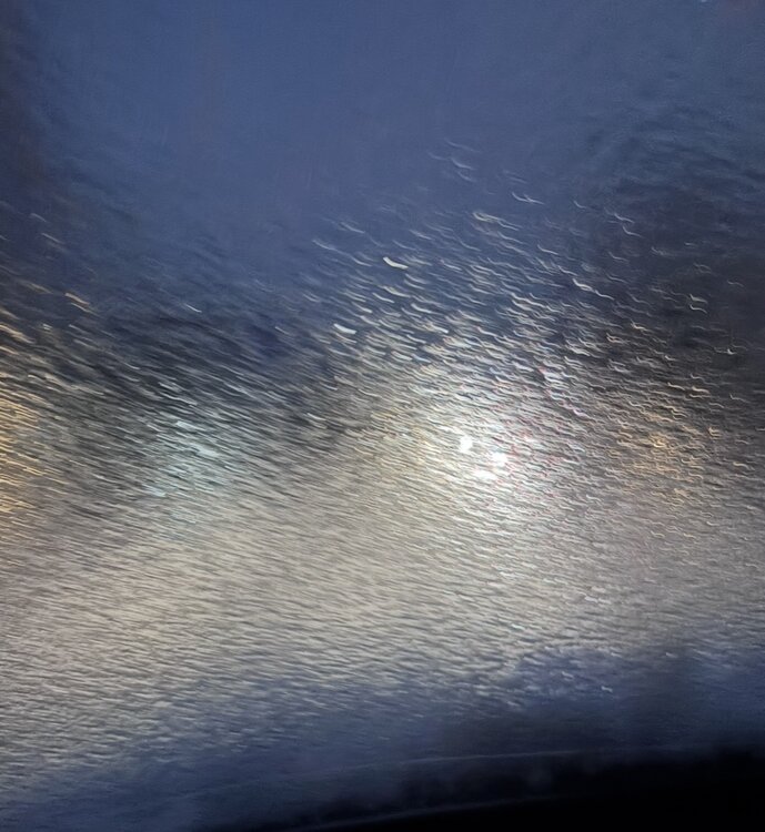
-
Richmond Metro/Hampton Roads Area Discussion
Sernest14 replied to RIC Airport's topic in Mid Atlantic
this band of sleet is intense -
Richmond Metro/Hampton Roads Area Discussion
Sernest14 replied to RIC Airport's topic in Mid Atlantic
The good stuff isnt far off to the west -
Richmond Metro/Hampton Roads Area Discussion
Sernest14 replied to RIC Airport's topic in Mid Atlantic
Opposite of tobacco and a beer haha! -
About .5-.75 in Ashland
-
Richmond Metro/Hampton Roads Area Discussion
Sernest14 replied to RIC Airport's topic in Mid Atlantic
About a half inch to .75 so far in Ashland