ChiTownSnow
-
Posts
814 -
Joined
-
Last visited
Content Type
Profiles
Blogs
Forums
American Weather
Media Demo
Store
Gallery
Everything posted by ChiTownSnow
-
I'm surprised that LOT is so on board with 6+ . Confidence seems higher than normal
-
Let's all stop feeding the beast and maybe the beast will stop. He clearly likes the attention
-
That sleet/snow line was on the move but has since slowed down a bit?
-
Temps dropped earlier from 30 to 27. Now 28
-
Keep moving east!
-
Props to ChicagoStorm and others who called this one south several days ago and loooong before models/local mets picked up on this
-
Anybody care to throw out any last minute/nowcast adjusted numbers for locations? I'm going with 3-4 for my backyard
-
LOT added Kane and Lake counties in the WSW "National Weather Service Text Product Display" https://forecast.weather.gov/product.php?site=LOT&issuedby=LOT&product=AFD&format=CI&version=1&glossary=1
-
Holding steady at 30 degrees for several hours
-
Local temp crept up to 30 degrees
-
LOT "National Weather Service Text Product Display" https://forecast.weather.gov/product.php?site=LOT&issuedby=LOT&product=AFD&format=CI&version=1&glossary=1 While again see no reason yet that the snow side won`t perform or perhaps locally overperform, there`s signs on the guidance that the mix/change to brief sleet then freezing rain could occur a bit earlier this evening. This would be followed by steady rates, and potential for localized ice accums north of I-80 up to 0.2 to 0.25". Should confidence increase in snowfall amounts needing to be adjusted upward with southward extent, plus the anticipated ice accretion tonight, may need to consider another expansion of the Winter Storm Warning, including deeper into the Chicago metro. If we decide to expand the warning, will look to get that update out as early as possible this afternoon.
-
Every storm is unique though and has unique scenarios. IMHO, i think we tend to associate storms with the outliers that we remember from the past too often.
-
Yardstick?. Let's start with one of those plastic 6-in rulers first
-
What does this insinuate? taking longer to saturate atmosphere, lower than expected QPF? colder than depicted?
-
Yeah. Hoping that expands nicely over the next few runs
-
If your Chicago, do you want the Tuesday Wednesday wave to trend south though? Do we hedge our bets with the first wave? Or hope for the main event to pan out? (In a perfect world we would have both)
-
Looks like weather.com is on board with this "New Storm System to Arrive Sunday Starting in Southwest - Videos from The Weather Channel | weather.com" https://weather.com/storms/winter/video/new-storm-system-arrives-late-sunday-in-the-southwest
-
I think the models need to let the weak 29th/30th disturbance play out till it figured out this system
-
Problem is that im not sure if 1 solution will happen without the other.
-
I still have no idea how this thing is going to play out..Can we just have a "normal" looking storm for once this year?
-
Winter 2020-21 Medium/Long Range Discussion
ChiTownSnow replied to Hoosier's topic in Lakes/Ohio Valley
At this point I'll just take colder temps so I can at least freeze over the backyard rink -
Winter 2020-21 Medium/Long Range Discussion
ChiTownSnow replied to Hoosier's topic in Lakes/Ohio Valley
Looks like the Sun/Monday storm is a bit stronger on 18z as someone hinted at earlier, subsequently pushed the storm a bit further south this run -
Winter 2020-21 Medium/Long Range Discussion
ChiTownSnow replied to Hoosier's topic in Lakes/Ohio Valley
Actually, scratch that. This sux -
Winter 2020-21 Medium/Long Range Discussion
ChiTownSnow replied to Hoosier's topic in Lakes/Ohio Valley
It's only Dec 3rd... Let's keep that in perspective here. 1 big storm advertise d 150 hours out can change all of our attitudes. -
Winter 2020-21 Medium/Long Range Discussion
ChiTownSnow replied to Hoosier's topic in Lakes/Ohio Valley
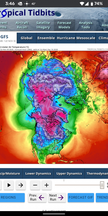
Idk. Looking at the norther hemisphere, seems as if there is a decent spread of cold air to work with. It's spread out instead of all bottled up. Anyone know how I can compare this map to the same period in prev years?