

Malacka11
-
Posts
2,068 -
Joined
-
Last visited
Content Type
Profiles
Blogs
Forums
American Weather
Media Demo
Store
Gallery
Posts posted by Malacka11
-
-
Just now, buckeye said:
Seriously dude.... Go to the MA and NE forums, they're popping champaign corks and partying it up!
Wait so you're not being sarcastic?
-
The system around the seventh, even though it's a way out still, is looking interesting to me.
-
Just now, hlcater said:
I hope so and I remain fairly optimistic about it. MJO looks to head towards phase 7/8 toward or just after new years. Then there's the SSW, but that probably won't have any effects until mid month. We've had pretty atrocious luck with Decembers recently.
As someone who just recently joined this forum and has only lived here for ten years, this is all pretty eye-opening to me. Up until this year, I've never even really considered December as real winter material. Personally, my little eye spies January 1st, though who knows what'll happen with that system. Looks like it could go too far north or south.
-
 1
1
-
-
35 minutes ago, ams30721us said:
Surprisingly, 00z NAM still pretty excited about spitting out some light snow for portions of the Sub Monday night into Tuesday.
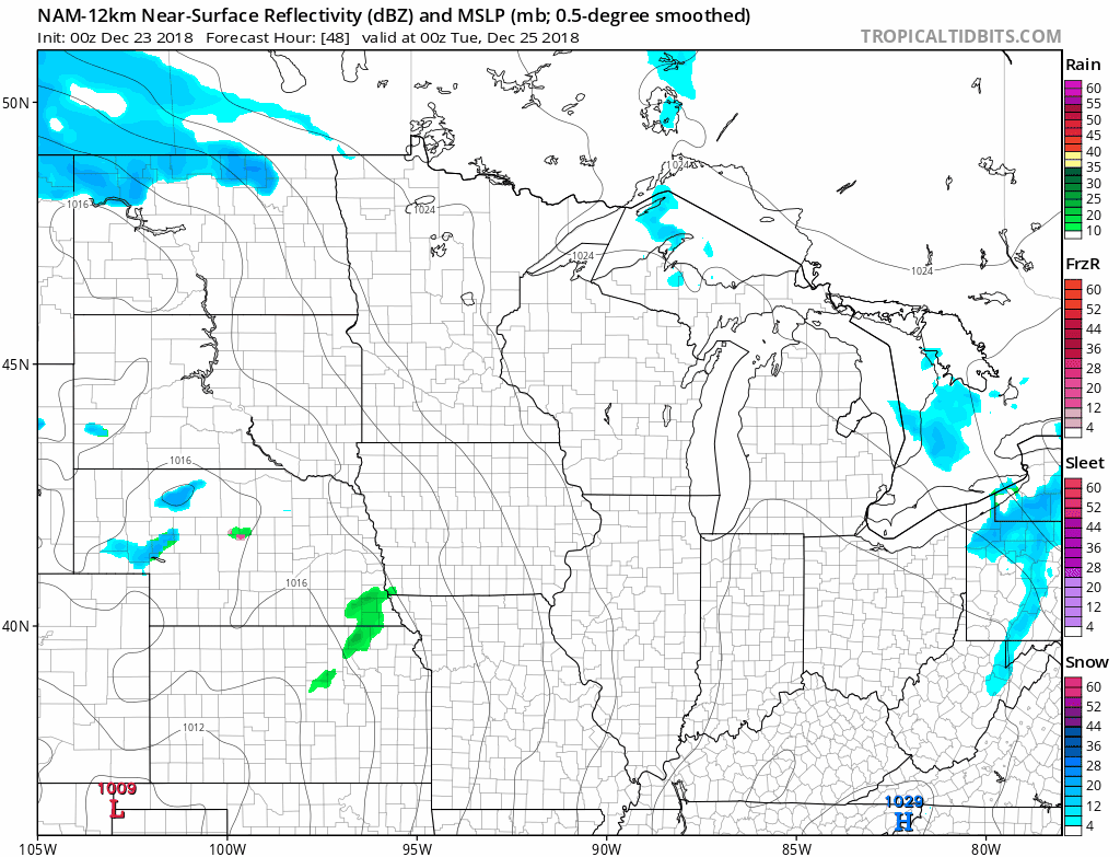
I'd take it. IIRC, the last accumulating snowfall we've had here was the Thanksgiving blizzard... it's been almost a month.
-
The GFS and GEM have uprooted the past like three days' worth of trends with next week's snowstorm. I do not envy the people who just had 15 inches of snow disappear from underneath them, even if it's only for one run:


-
Looking like clobbering time up north in about a week. Hopefully that storm spreads as wide of a swath of snow as is physically possible; it'll play nicely into any snow-pack considerations for future events.
-
1
-
-
39 minutes ago, snowlover2 said:
Appears that colder air comes back south after that storm setting up a potentially interesting storm for New Years eve/day. 2 weeks out and hard to get excited about it yet but it has consistently shown up on the GFS/FV3.
This is the 27th storm on the last FV3 run:

-
If anyone hasn't seen it yet, here's another reason why the NE forums are a bit happy right around now:

-
8 minutes ago, buckeye said:
Very different atmosphere in the MA forum winter thread. Apparently the euro weeklies show a 09/10 snowmaggaedon Jan/Feb pattern, and JB is even calling it Jan/Feb 78esque....

That snowmaggaedon period between late Jan and mid Feb 2010 dumped something like 30" of snow here in cmh...so that wouldn't suck.
Personally, I think the winter is just beginning.
-
1
-
-
18 minutes ago, michsnowfreak said:
Obviously only time will tell what happens, But all of the usual panic seems to be very here and now based and it a does appear that things will look up in January and into February.
Sometimes us weenies need to remember that the usual models only extend two weeks out, which really isn't a whole lot if you consider the bigger picture, especially since a lot can change in two weeks of model runs. Even the torch on the 28th is over 200 hours out... correct me if I'm wrong, but if it were a blizzard that was being modeled ten days out, no one would buy into it, so no one should be overly worried about it being 60F+ in N IL/IN/OH either at this point in time yet either.
-
1
-
-
Forgot who, but someone mentioned earlier that one worrisome trend of the year is for storms to start out at least as a mix and then gradually morph into all rain...
...the GFS shows literally like no snow now with the late week system. Even twelve hours ago, there was at least something.
-
From like midweek onwards through 384, I don't think there's a single day that some GEFS member doesn't have a snowstorm somewhere... It's soul-crushing to imagine how many of these potential even will never come close to verifying.
-
Call me an idiot, but something tells me that this has potential, even if that something is just hope:

-
1 minute ago, snowlover2 said:
0z GFS trended better especially for E IN into W and SW OH.

Maybe that 'snowhole' will finally fill in a little
-
1
-
-
3 minutes ago, Hoosier said:
There it is. Hope we get some good trends in the coming days.
Given the past few weeks, even the way it looks now isn't half bad.
-
32 minutes ago, Angrysummons said:
There may be a phasing chance/trough on the 21st(most EPS suites have it in some form, but pretty warm), but the STJ is overpowering right now and the northern stream pretty weak. Even if a system comes together, it may just be a bunch of rain(again). We are all waiting for the pacific to gets it act together................impatiently.
Wrong. Three feet of snow, winds of eighty million mph... (/s
") )
)
-
I don't even care if it snows here or not, as long as the pattern becomes more active around and after Christmas.
-
4 minutes ago, hlcater said:
The guy who wrote that AFD frequents this board. @RCNYILWX or Ricky Castro. He mentioned some similar thoughts a few days ago as well.
I see. I've seen @RCNYILWX post stuff before, but I didn't make the connection that it was Castro. Good to know
And thanks for all of the forecasts, @Castro
-
3
-
-
A lot of people on here have been getting very pessimistic over the possibility of our pattern change dissapearing. For those of you who don't monitor it, here's a bit from LOT's forecast discussion:
It`s not currently in the forecast grids, but with the above
normal height and thermal profile pattern in place, can`t rule out
fog and stratus formation at times in the Monday-Tuesday timeframe
as well as strong inversions will form at night. Finally, signs
are pointing to a return of a -EPO in the northeast Pacific late
next week into the weekend before Christmas, so expect a normal to
below normal temperature regime in time for Christmas. As far as
chances for a white Christmas...stay tuned.

Castro
-
1
-
-
21 hours ago, Jebman said:
On or about Christmas Eve into Christmas Day, there is a possibility of an intense blizzard over Illinois and points north and east. Winds would be pretty strong but the snow amounts may be mammoth. Just a heads up. Should start seeing this on standard models in about a week, signal will be quite strong. 1978 anyone?
I know it's been a day since you made this post, but out of general curiousity, what indications favor this occurring?
-
4 minutes ago, buckeye said:
Man...EVERYONE....EVERY forecast....has Xmas thru spring training as Katy-bar-the-door-for-jo-mama's-winter-of-yore
and now the glide path to our incoming ice age gets a last minute lube job courtesy of our good ole friend the sswe.
What could possibly go wrong?
Nothing, hopefully /s
-
 1
1
-
-
2 minutes ago, Hoosier said:
Hopefully it's stronger than 1978.
As the garden type variety of snow fan whose forecasting abilities are that of whatever shows up as green and blue on tropical tidbits, I'm flabbergasted. I can't decide if this is an elaborate joke or if it may actually be a thing, simply because "hopefully it's stronger than 1978" is not a common phrase, and we're so far out still.. my mind is swirling with the possibility. This IS my green brownie
-
1
-
-
1 hour ago, Steve said:
So local forecast for this neck of the woods calling for above average temperatures from now until Christmas...

On the bright side, it'll give us two things to look forward to...
-
7 hours ago, michsnowfreak said:
We celebrate with one side of the family on the 24th and the other side on the 25th. I love both days but Christmas Eve has always been my favorite and our snowstorm last year on Christmas Eve was absolutely perfect. Everybody loved the atmosphere it created, except for the dicey travel. It was certainly not the biggest storm of the Winter, but 5" of fresh glistening powder that began falling around noon Christmas Eve until 11pm (more squalls Christmas day as a record cold blast was moved in) was not just a white Christmas. It was courier and ives perfection. To have that happen 2 years in a row would be a dream.
My thoughts exactly.


Winter 2018-19 Medium/Long Range Discussion
in Lakes/Ohio Valley
Posted
I still think next weekend has some potential to drop at least a few inches somewhere. At least, I don't want to rule it out entirely yet.