

OrdIowPitMsp
-
Posts
1,908 -
Joined
-
Last visited
Content Type
Profiles
Blogs
Forums
American Weather
Media Demo
Store
Gallery
Posts posted by OrdIowPitMsp
-
-
Low of 3 overnight. Temp has risen to 8 with light snow. Should see a coating maybe a quarter inch of new snow this morning while areas further south push towards 0.5-1”
-
Temps have held steady at 9 degrees all day with a stiff wind leading to wind chills around -10. We actually bottomed out at 7F this morning for the low.
-
 2
2
-
-
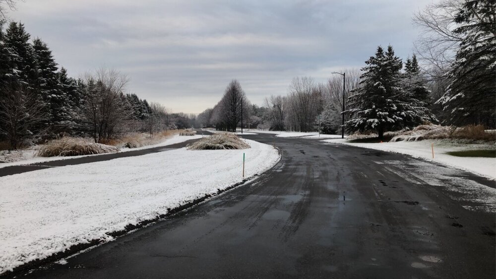
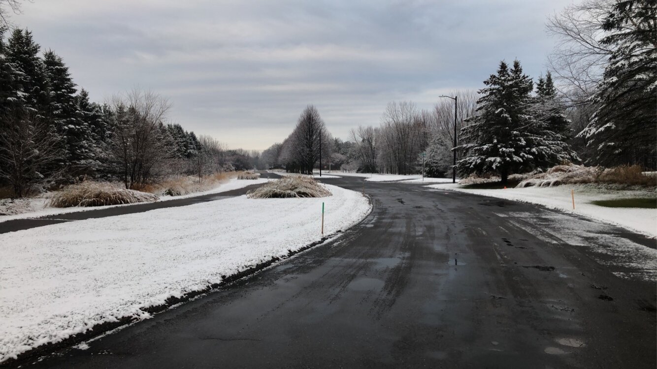
9 degrees this morning. Coldest temp of the season. Airport is reporting 2” snow depth at 6am. I think that is a bit generous but there is definitely solid snow cover for the first time this winter.

-
3
-
-
1.1” officially at the airport. Might tack on another tenth or two this morning. Too bad it’ll be gone this afternoon before the cold blast comes through.
-
28 degrees and the Lt. Snow is readily accumulating. 2nd accumulating event of the season.
-
1
-
-
We’ve been under the F-Gen band for awhile this evening but snow finally beat the dry air and started reaching the ground. Hi-res models have been developing this band further and further south before it pushes north.
-
@Brian Dfurther up the shore from you could see 12-18” with lake enhancement and orographic effect.
-
Surprise accumulation in the northeast suburbs this morning.
-
2
-
-
November 2021 finished with 1.2” of snow and 2.2F above average at MSP.
-
It’s been very dry here since since last spring with the exception of August, and the next 7-10 days doesn’t hold much hope for precipitation.
-
 1
1
-
-
Temps dropping throughout the day under full sun. Long range models still showing minimal to no precipitation here over the next 1-2 weeks.
-
Not really anything to track around my neck of the woods for the next 1-2 weeks. Just going to watch the lakes freeze and the drought expand.
-
1
-
1
-
-
Coldest morning of the season at msp. 19F
-
On and off flurries and snow showers most of the afternoon/evening. Localized dusting. Top 2 winter event.
-
2
-
-
20 hours ago, RogueWaves said:
I was a wx geek and remember the snow depth making national news. Same storms crossed NMI bringing insane depths there too. I just never did get the details on how exactly 2 big dogs hit so close together.
Another wild thing on that list is that (3) calendar years (1940,1982,1985) tally up 7 of the top 10 events. The same as Detroit, MSP's top 2 storms happened outside of traditional MET winter. Though you could argue November is much more likely to be a winter month there than down this way to the SE.
Snow depth peaked at 38”
As a weather geek I’d love to see it, as a home owner I’d be worried about my roof.
-
1
-
-
1 hour ago, Hoosier said:
What is #2 for Minneapolis?
21.1” in November 1985
Most impressive to me is that #3 and #4 on the list 20” and 17.4” respectively, occurred two days apart in 1982 and led to the deepest snow depth recorded locally.
https://www.dnr.state.mn.us/climate/journal/top_twenty_snowfalls.html
-
2
-
-
The MSP record is 28” in the Halloween Blizzard. I’m not confident that will ever get broken, but I suppose with increased precipitation a run at 30” is possible.
-
Storm total of 1.2” grid forecast was on the money.
-
2
-
-
0.6” at the airport at 6pm. Warm ground is definitely impacting accumulation. Pavement is just starting to freeze up.
-
Snow began about 20min ago and started accumulating almost immediately.
-
1
-
-
WWA hoisted for Hennepin County. 2-4” this afternoon/evening. Although we’ll be riding the southern edge of guidance. Nowcasting time.
-
1
-
-
3 hours ago, Brian D said:
Ended up with 2.38" of rain here in town at the coop station with 3.16" at another site in town. But the biggest surprise was the rain totals along the shore here. Up to 6" of rain! Tofte had 5.75". Incredible! Just as much rain as snow.
Wow you guys ended up with a ton more rain then forecast. Really needed it too.
-
Donut hole of no accumulations around the cities. The NWS office in Chanhassen did record 0.2”

-
6 hours of steady light snow amounted to zero accumulations here. 1-2” west of the metro.
December 2021 General Discussion
in Lakes/Ohio Valley
Posted
Todays wave came with more of a punch then expected. Very fluffy high ratio snow. 2-4” reports across the southern portion of the metro. The airport reported 1” as of noon. My guess is ~1/2” or so is added to the final total.