

OrdIowPitMsp
-
Posts
1,908 -
Joined
-
Last visited
Content Type
Profiles
Blogs
Forums
American Weather
Media Demo
Store
Gallery
Posts posted by OrdIowPitMsp
-
-
Little bit of blowing snow now too. What a storm!
-
 2
2
-
-
Torched above freezing from 1-3am with a peak of 36. Crashing through the 20s now with a few stray flurries. This is our moment for this storm.
-
 1
1
-
2
-
-
The chase is always better then the catch. This has been awfully fun to track even though I have zero skin in the game. I’d be feeling pretty anxious if I still lived in Lake County IL, but excited to see the totals that come out of central IL. Going to be tough for Chicago to beat out Detroit by 10” this year after this dog comes through.
-
2
-
 1
1
-
-
3 hours ago, hlcater said:
Of course what could be a serious contender for the biggest storm since GHD looks to leave eastern Iowa out. The nearly 50 year 12” storm streak for CR shall continue.
How does Chicago (barring the lake) seem to reel in a 12” synoptic snow every 3-4 years while CR hasn’t had one in 50. It’s baffling.
Yes I’m mad about it
(The last 12” snowfall for CR is April 1973)
That’s wild. I had to look this up. I was a student in Iowa City during the December 2009 blizzard that put down around a foot in IC. Plenty of 12-15” totals around Linn county but the Cedar Rapids airport mysteriously was on the low end with 8.5” I’m sure @hawkeyehas memories of that storm 12-8/9-2009

-
2
-
-
Time to activate the NW trend. C’mon Korean model.
In all seriousness looks like a very solid storm for much of the sub, and deep deep cold for me. Flying to Chicago Saturday morning February 5th so here’s to hoping it’s stacked high when I arrive.
-
2
-
-
-6 for the overnight low. Heat island flexed it’s muscles and kept us warmer then surrounding areas.
This is the 15th below zero low of the season for Minneapolis.
-
There’s a 47 degree difference in 7am temperatures compared to yesterday.
-17 to 30
-
-
-17 in the heat island this morning. Suburbs made it down into the -20s.
I didn’t look at lows across the state. Regionally Red Wing made it down to -24 which was the coldest spot I found within 40 miles of the metro.
-
Down to -13 here this morning. We’ll struggle to get above zero today.
-
1.3” from Clipper #3 for a 3 day total of 4.4”
-
37 minutes ago, Brian D said:
Looks like 1-3" swath right in between us. Snow moving in from the NW. Should be here soon for D-1" this evening.
Yeah I was hoping to get into the main banding but can’t get too greedy. Depths are back up to 8-9” here, with a stout compact glacier on the bottom.
-
1
-
-
Not expecting much outta wave #3 imby. Light snow has started.
-
2.3” in Minneapolis on 0.11” of precipitation for a ratio of over 20:1.
31” on the season now and snowdepth around 8”.
-
Snow winding down. Looks like a hair over 2” of very powdery snow. Ratios had to be pushing 20:1 for this event.
-
2
-
-
13 minutes ago, OrdIowPitMsp said:
Can confirm. 1-2mi vis and parachutes for a couple hours now.
Visibility down to 0.75mi now.
-
40 minutes ago, sbnwx85 said:
Nice banding setting up around the Twin Cities.
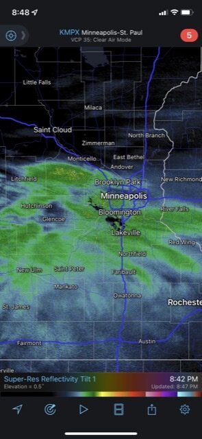
Can confirm. 1-2mi vis and parachutes for a couple hours now.
-
1
-
-
Zero wind tonight leading to a much more beautiful snowfall then last night. Ratios are certainly better since it’s much colder and the dendrites aren’t getting shattered.
-
Clipper #2 underway here.
1-2” tonight and 1-3” tomorrow night. -
Ended up with 0.8” from wave 1.
-
9 minutes ago, Brian D said:
Dusting that got blown all over. Any official measurement will be from snow that blew in on the board.
 There is a little more headed this way to bring the count up a little more, tho.
Same story here, blew through quick and with wind. I’d guess half an inch of actual accumulation but in some places the sidewalk is bare and other spots have 3”
-
Clipper #1 started about 10min ago locally. Dust on crust already.
-
Return flow on the backside of the high kept us from really dropping off last night. Only got down to -8.
Clipper train starts this evening.
-
-10 in Minneapolis last night. Torched to 3 above this afternoon.


February 2022 General Discussion
in Lakes/Ohio Valley
Posted
30 when I left the house at 6am. 14 as I’m leaving work to go back home.