

tunafish
-
Posts
1,692 -
Joined
-
Last visited
Content Type
Profiles
Blogs
Forums
American Weather
Media Demo
Store
Gallery
Posts posted by tunafish
-
-
Anecdotally...and fwiw... I've been tracking GYX forecast amounts to actuals for PWM this year (and last) after (Chris, I think?) mentioned they have an over-forecast bias.
This year they've been remarkably accurate. They are under-forecasting to the tune of 7.6", half of which came on the 12/16 event. They have only over-forecast on the 1/25 event (by 2.3")

-
 5
5
-
-
2 minutes ago, Lava Rock said:
that's utter trash up here
Only through hr 55. we have several hours left to go at that point (I think).
-
1
-
-
1 minute ago, HIPPYVALLEY said:
@Lava Rockis not pleased with this development.
Certainly not.
Was surprised to see this after the mention of the NAM moving S (synoptically). In actuality, it took PWM "Point" forecast on these maps from 6.5" to 5.7", enough to drop the range even though it's less than an inch different.
Will just be nice to cover up the mud again.
-
1
-
-
-
How far north are those torched mid-levels on the NAM? Asking for a backyard near me.
-
13 minutes ago, tamarack said:
Looks a lot better than this month so far. With tonight's dusting we'll have had 6 snow events for 6" total (or less). Putting an end to the Feb march of the midgets.
Other than 2-3 T observations, we're at 0.4" for the month, though yesterday was the first day since mid Jan our depth has gone <1", so we've at least had that.
-
6 minutes ago, MJO812 said:
Must be nice living somewhere with elevation
Like my 40' on the coast?
-
1
-
 1
1
-
-
12 minutes ago, Damage In Tolland said:
Seems like it all stays south of here . Good luck down that way
Nothing for you " up there"?
-
1
-
-
8 minutes ago, STILL N OF PIKE said:
They are at 43” now . How much do you think will be at the stake in 15 days
Was gonna set the o/u at 72.5
-
 1
1
-
-
35F, flipped, pounding
-
29 minutes ago, HoarfrostHubb said:
Still seems unlikely that a fire on Feb 3 would cause this on Feb 16/17... strange things happen though
Bretton says unlikely as well.
-
Just saw a tweet saying its from dust kicked up in OK. Hmmm
-
3 minutes ago, HoarfrostHubb said:
I thought the fires/cloud from that were done days ago. Maybe connected but not so sure. Maybe chlorine particles went up high enough and lingered... HCl raining from the skies?
I'm trying to find the article, but I did read that the vapor from the chemical attaches itself to water molecules, so if there's any lingering vapors coming from the ground, they could be getting absorbed. I really want to believe it's not related, but like I said, it's awfully coincidental.
-
2
-
-
11 minutes ago, HoarfrostHubb said:
After ski club last night I was driving home up Route 2 in the KFIT area. It was raining and the drops on the windshield definitely looked odd. I almost was thinking cats paws but it was 50F out.
Disturbing
Too widespread and sudden to not be related to OH. The occurrence itself is concerning, the lack of coverage and blanket reassurance is even more concerning.
-
1
-
-
New rust this morning on a 2 year old metal roof drip edge. Nothing to see here...

-
 1
1
-
-
It's worth noting - this isn't rust on contact. The rain pools a little at the drip edge, sits there for a while, which is why (I'm assuming) there's rust there and not all over.
-
1
-
-
40 minutes ago, dendrite said:
lol there’s no way that wasn’t like that before today’s rains…
…right?
That's my coop. I put the carabeaner from their door on a nut on the roof every morning when I go out to feed them. I would have noticed it yesterday. Definitely new rust. It's a 2 year old roof.
-
25 minutes ago, ORH_wxman said:
Lower heights in the 50/50 region help hold in high pressure to our north....it creates confluence aloft in SE Canada. So if you're having systems come out of the midwest/Ohio Valley, you want to see those highs holding stout which creates the setup for a good SWFE/overrunning type snow event instead of the storm cutting into Ottawa or upstate NY. If you don't hold that high pressure, then it just ends up being a very quick flip to ZR/RA after maybe a couple inches.
Very helpful, thank you.
Up to 50° off a low of 34°. Should just about do it for the remaining 2" pack.
-
I've seen the 50/50 mentioned a few times these last several days. What does that do for us here? Force the block that's east of Greenland on that map back west over the Baffin strait?
11 minutes ago, ORH_wxman said:50/50 area trended a lot better on overnight ensembles going forward. Like to see that.
-
8 minutes ago, Damage In Tolland said:
Ryan went from this yesterday
 To this today .. lol
 1 minute ago, CoastalWx said:
Ryan changed a 9 day forecast by 3F. WTF happened to this board?
More disturbing to me is that he took pictures of it.
-
8
-
-
12 minutes ago, 40/70 Benchmark said:
Current guidance has me with another 10-20" for the balance of Feb, which is gravy pre blocking....I'll take 30-40" seasonal total with an ominous March hanging in the balance and run.
When you say ominous March, are you alluding to the first 2/3 of the month, or the entire thing? Obviously that's details TBD, just curious what you're interpretation is as of now.
-
8 minutes ago, Lava Rock said:
How much more garbage can we put up there
Sent from my SM-G981U1 using Tapatalk
Quite a lot, apparently.
From https://www.space.com/spacex-starlink-satellites.html
A Starlink satellite has a lifespan of approximately five years and SpaceX eventually hopes to have as many as 42,000 satellites in this so-called megaconstellation.
-
1
-
-
Interesting things for when there's nothing to track:
-from 24° to 29° between 9 and 11PM
-MWN from South PWM around 11AM today
-'boards getting some action this afternoon


-
5
-
-
4 hours ago, dendrite said:
Pack dropped 2” today down to 11”.
Stout pack... mine only went from 5" to 4" today. From 6" yesterday. Been nearly 3 weeks since new snow >1".
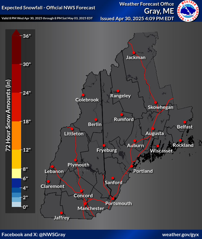


Very persistent signal for moderate snow and ice impact between "Wed night" and "Thur night" this week
in New England
Posted
Wife and kids are supposed to drive PWM to Dendrite land via 95>101 Thursday early afternoon. Precip rates look light at that time, so I'm assuming crews will be able to stay on top of road conditions. Keep seeing cold tuck and mixed precip, which is my concern.
Bad assumption/idea to drive?