RDRY
-
Posts
795 -
Joined
-
Last visited
Content Type
Profiles
Blogs
Forums
American Weather
Media Demo
Store
Gallery
Everything posted by RDRY
-
Active mid December with multiple event potential
RDRY replied to Typhoon Tip's topic in New England
Jan '96, Feb '83 and Boxing Day -- Queens top 3. -
Active mid December with multiple event potential
RDRY replied to Typhoon Tip's topic in New England
I believe January '96 was a classic example. -
Active mid December with multiple event potential
RDRY replied to Typhoon Tip's topic in New England
I remember that storm with a pretty limited northwest precip field. And isn't early occlusion typical for the bigger east coast storms? -
Active mid December with multiple event potential
RDRY replied to Typhoon Tip's topic in New England
Much more expansive precip field than last week's storm. Much stronger high. Slower mover. All good things. -
Active mid December with multiple event potential
RDRY replied to Typhoon Tip's topic in New England
Gotcha. The GFS 500 chart just doesn't look like a classic western-CNE hit. The good dynamics are shunted south and east. -
Active mid December with multiple event potential
RDRY replied to Typhoon Tip's topic in New England
I should have specified western Mass. -
Active mid December with multiple event potential
RDRY replied to Typhoon Tip's topic in New England
Upper levels just don't support this hitting north of pike. The 500 MB trough orientation is more east-west than north-south. -
Low is forced east -- even a tic east-southeast -- from southern New Jersey, suppressing the heaviest banding south of western Mass. That high means business.
-
So, the 6z Euro only runs to hour 90, but the 6z EPS runs longer?
-
What is the difference between the GEPS and GEFS?
-
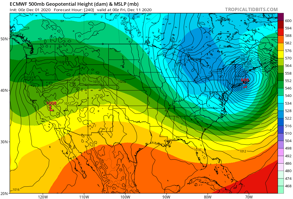
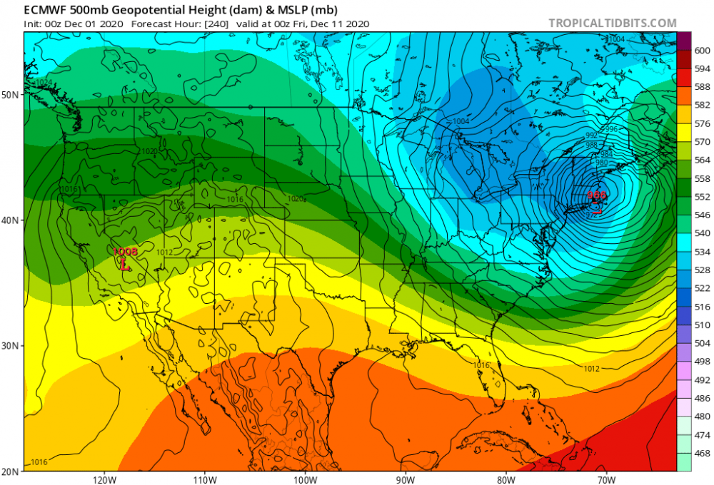
An east coast bomb in (what looks to me) a mostly zonal flow. Is that really feasible?
.thumb.png.3e5d7bfd7aae5cf47961ffb7fa940a50.png)
-
Still some flurries (NWS calling it "inversion" precip). Kind of funny all the focus on that big storm, with zero accumulations here. Then, nothing forecasted, and a couple inches.
-
1-2 fell in the Berks this morning. Wasn't forecasted and isn't even showing up on radar. Must be some very localized upslope.
-
Yes, 1994.
-
The 17th-18th overrunning/southern system combo on the GFS is a bit reminiscent of February 8-11 of 1994.
-
Yeah, but 240.
-
May 8-9 mid-spring rain, snow, cold, wind obs
RDRY replied to CT Valley Snowman's topic in New England
May snow showers kill May flowers.

.png.acc6d47bfbc7d506b3784b73ee93aedb.png)