-
Posts
1,235 -
Joined
-
Last visited
About BlunderStorm

- Birthday 04/02/2001
Profile Information
-
Four Letter Airport Code For Weather Obs (Such as KDCA)
KJFZ
-
Gender
Male
-
Location:
Honaker, VA 2100' / Johnson City, TN 1700'
-
Interests
Weather, Hiking, History, Gaming, Outer-Space, Procrastinating...etc.
-
East River Mtn. Roof of the Tennessee Valley, sheltered hollows below it neared -20F last week. Lake Witten (Tazewell): Clinch River (New Garden): Clinch (Blackford Bridge) Upper Clinch (Near Swords Creek) Heck of a cold spell, been quite a show. The freezing has been impressive with even a snowpack on Witten! I'm not quite ready to let go of winter but I figure we could all use a break. Hoping for some upper 50s for a nice winter hike. Now on the other hand If we do score some marginal mid Feb winter wx in the window Carver is watching it will be the most impressive month long span of true winter in my memory. Flurries in Honaker, 27F.
-
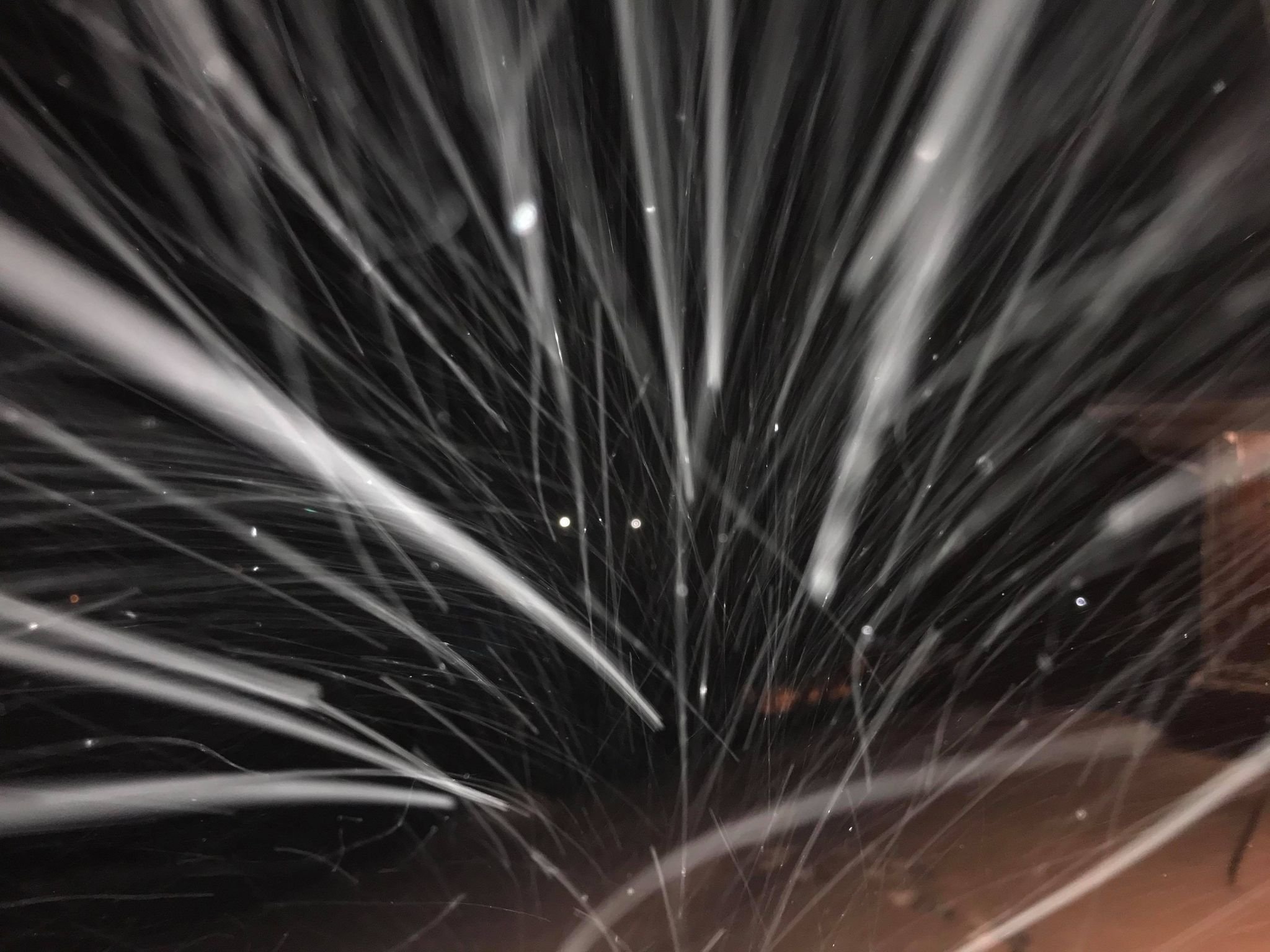
Snow has ceased since an hour ago. Of note though the condensation level is almost at the surface now making for a freezing fog. Temperature is stable at 30. I've got a little over an inch of 10:1 maybe 8:1 initially from the squall line and preceding and trailing showers. The backyard has maintained a layer of snow for nearly two weeks and has a geologic history of deposition and "metamorphism".
-
The hammer is down!
-
Column just saturated. 31F with DP of 26 and visibility of 3 miles dropping quickly. Classic nickels and dimes, the everymans snow, the snow that comes to mind when you think of snow lol. Edit: Visibility 5 minutes later dropped under half a mile and snow is coming down in smaller button size clumps
-
Radar presentation from the clipper looks quite healthy. Wonder if John is seeing anything. It's virga here for now though relative humidity is 82% imby. I'll move to obs if desired. This thread is very open ended but I don't want to bury pattern discussion.
-
That reminds me, I should take some more shots of the Clinch before the warm up. It will be the most iced I have seen it since Feb 2015 (that's what got me first lurking on amwx) where in select portions it wholly froze over at the bends. Maybe some good shot opportunities on Lake Witten or Hayters Gap too if they've been plowed. I'd try Hidden Valley or Laurel Bed but that's probably an insurance premium nuke if I've seen one haha.
-
26F and coming down at a decent clip! Got a half inch of new snow at the stroke of midnight atop of what I could only describe as a few inches of concrete. Edit: Main roads are mostly white.
-
Welp the fix was in, the low came in a little more spicy and spiked me with advection after radiative heating. Ultimately although temperatures did crash DP was already above freezing and it wasn't enough I was 3F too warm. This is a win for the NAM and GFS over the Euro and Canadian solutions. Perhaps something to take into account weighing nodels for overrunning events. 33.5 as of now.
-
Hovering around 39F the last 45 minutes. Hoping temps plateau instead of continuing to spike. I've got winds oriented with the valley perfectly from the southwest at a subtle 2mph. The real warming is plausibly above my head but I guess we shall see come evening. Guidance warmed with 12z in the initial thump albeit with some initialization issues with the great valley as personal weather stations are running a bit cooler risking ice mentioned in the February general discussion.
-
Got 7.2" Analysis has me at 5.5-5.9". Not great, not terrible. Seems that one station has messed everything up in Lee. EDIT: Just realized this includes the previous storm. Got 1.5" before zr and 2.0" after for a total of 10.7" so it's way off.
-
-A little fun for east TN peeps with 6z on the GFS and Canadian later into Wednesday for some bonus flakes after the washout.
-
Gonna update here too for posterity. February 2nd, 2026 Lows: Confirmed personal weather station minimum was -9.7F. Effective low of -12F in Honaker per WU, -13F on the Clinch river crossing and downtown Lebanon as well as -14 at Rosedale on Route 80 per vehicle thermometer. Weather Underground weather stations indicates isolated lows in Shady Valley and Tazewell, VA reaching -17 and -18 respectively as well as readings of -15 in proximity to Johnson City on the lower valley floor. Temperature inversion was severe with the car thermometer moving through fahrenheit degrees on the basis of 25 feet of elevation gain in some cases. Weather stations also reveal areas that never saw negative temps in some high and exposed areas.
-

Jan 30th-February 1st 2026 Arctic Blast/ULL Snow OBS Thread.
BlunderStorm replied to John1122's topic in Tennessee Valley
Wow, I bottomed out at -9.7F with areas in town a few degrees lower per wunderground. I took a quick drive to run an errand and took a few pics at the Clinch river and it was -14 on the car thermometer in Rosedale. For SWVA it looks like the winner was Tazewell which bottomed out at -18F!! in some valleys. (still in the Tennessee Valley ) -
-2F now and still falling. Coldest night of winter likely!
-
Soundings in Russell county for tuesday night.


