PowellVolz
-
Posts
3,819 -
Joined
-
Last visited
Content Type
Profiles
Blogs
Forums
American Weather
Media Demo
Store
Gallery
Everything posted by PowellVolz
-
 If it could snow like this for a couple of hours we would have something. It’s snowing much harder than it did last week. Even getting some quarters mixed it.
- 207 replies
-
- 3
-

-

-
- obs
- light snow
- (and 2 more)
-
Latest NBM gets Tuesday’s system into the valley. https://x.com/weathertrackus/status/1880812774202519644?s=46&t=LVg8BRWCh1zZb6F_t95EVg
-
I can’t get tweets to show up correctly. Any tips? Lol
-
https://x.com/weathertrackus/status/1880753129874186281?s=46&t=LVg8BRWCh1zZb6F_t95EVg
-
Fall/Winter Banter - Football, Basketball, Snowball?
PowellVolz replied to John1122's topic in Tennessee Valley
I think he got the email issue figured out. Thank you for your help buddy. -
Fall/Winter Banter - Football, Basketball, Snowball?
PowellVolz replied to John1122's topic in Tennessee Valley
@Mr Bobi have one more request when you get time. A friend of mine has had the same issue as me with being locked out of his account and not getting any responses from contacting AW through email. I’ve tried to PM you but for some reason it’s not allowing me to do it. Here’s his info….. His username is VolMan and his old email that his original account might be under……[email protected] his new email that he will use for the updated account is…[email protected] if you can get him a temporary password to fix his issue I’ll relay the info to him. thank you very much sir. Me and VolMan appreciate it. -
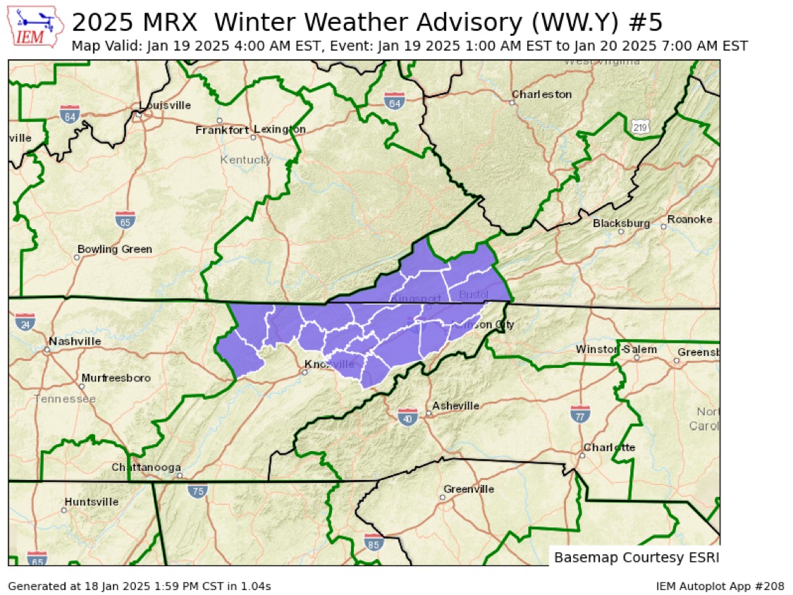
They update or install new advisories strange some times. There was 22 minutes between the cold weather advisory and the WWA. Seems like maybe 5 to 10 minutes or so between the updates is enough time unless they were having IT issues
- 207 replies
-
- 2
-
-
- obs
- light snow
- (and 2 more)
-
Yeah yesterday was fantastic. 53 at my house but felt like 65. Kick this cold to the curb if we can’t cash in. However it’s good for the environment to get cold for a while. It’s also good for lawn. Freezing and thawing over and over again is a good natural ground aerator.
- 207 replies
-
- 3
-
-
- obs
- light snow
- (and 2 more)
-
For once we need the plateau and the mountains to do us a solid and slow the front down as it passes by but as we know this only happens when we don’t want it to slow down lol… Will be interesting to see how progressive the 1st cold front is Saturday night. A slower front Saturday night might allow for more anafront moisture to hang around longer.
- 207 replies
-
- 3
-
-

-
- obs
- light snow
- (and 2 more)
-
It’s hard for me to see this graph and think that none of the moisture gets funneled up the valley, especially since the precipitation shield has a NE component to the track.
- 207 replies
-
- 1
-
-
- obs
- light snow
- (and 2 more)
-
What’s crazy is how many of Knoxville’s biggest snows were outside of climatology. I believe 4 of the top 5 are in November, December and March.
-
It’s not so much about the red and blue colors across the board as it is about specific locations of those colors and the MB lines. I understand why that map looks like a warm pattern but look at the red blob north of Alaska and the blue over the Hudson Bay in Canada. Everything else being equal, this is a good look to allow shots of cold air into the mid South.
-
2.8” is the record in Tallahassee set in 1958. The only other time it snowed at least 1” was 1890ish. You can look at climo two different ways here. 1) Tallahassee is right on schedule for their next 1” of snow this week. 2) as far as we know it’s only snowed 1” there twice. If you were going to bet, most people would bet on it not happening.
-
Parts of North Central NC saw their first accumulating snow fall in 3 years on this past Friday. I understand parts of SC going snow free for a while or even the Charlotte area but it’s crazy to think that it’s been 3 years since areas on the NC/Virginia border has seen snow. I just always assumed that area wasn’t prone to snow droughts.
-
Since this is the most used thread as of now I’m going to drop this Pivitol Weather update in here and let a mod place it in the appropriate thread. I’m putting here to give everyone an opportunity to see it for now. https://x.com/pivotalweather/status/1879926384421994786?s=46&t=LVg8BRWCh1zZb6F_t95EVg
-
No way I’m leaning towards the GFS on this, it’s obviously on crack. However with the spread of the mods getting bigger, it doesn’t exactly rule the GFS out either even though it has no support.
-
Buddy I wish the GFS was right but it’s on an island and has zero support from its brothers and sisters.
-
Lol… I just made a post basically saying what you just told me.
-
Maybe this has been talked about but I’m starting to think we are actually dealing with two events. 1 on Tuesday and another at the end of the week. The GFS starts to bring moisture north on Tuesday but completely loses it, then it kicks in on Friday. The other mods show the Tuesday event but some of them are showing signals of return flow at the end of the week.
-
Is there much of a downsloping issue with an overrunning event?
-
Thank you brother
-
Where can you find this at?
-
The 93’ storm it was 70 degrees a few days before and 70 degrees about a week later. We had a EF3 tornado tracked through North Knox County in February.