eyewall
Meteorologist-
Posts
13,158 -
Joined
-
Last visited
Content Type
Profiles
Blogs
Forums
American Weather
Media Demo
Store
Gallery
Everything posted by eyewall
-
2021-2022 Fall/Winter Mountains Thread
eyewall replied to BlueRidgeFolklore's topic in Southeastern States
I am hoping it will be good coming up in Hanging Rock. It has been tough to get a good year up there recently. I guess I was just spoiled by my New England trip and also living up there for a bit. -
I am just looking forward to the cool down tomorrow night.
-
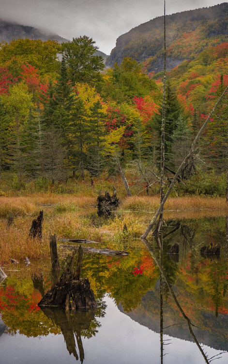
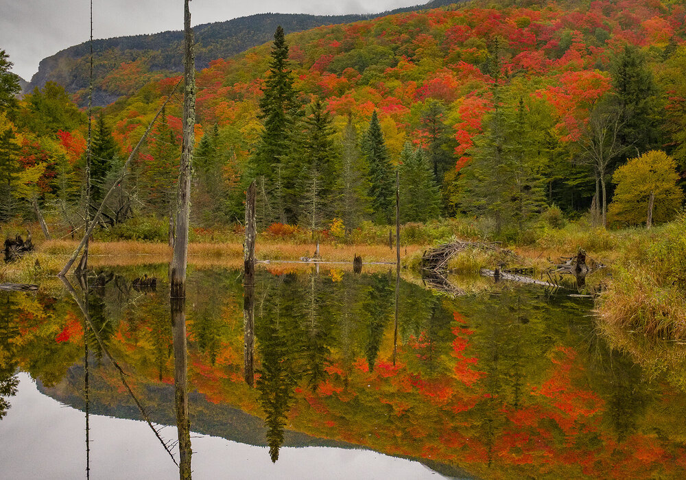
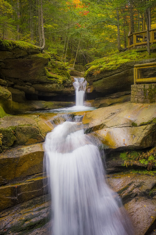
This will be my last fall 2021 post for New England as I await Hanging Rock in NC to turn. Glad I hit it at a solid time.
- 235 replies
-
- 6
-

-
- leaf peapers
- crisp autumn nights
- (and 3 more)
-
Yeah we will probably squeeze out one minor event like the last two years if we are lucky.
-
- 235 replies
-
- 7
-

-

-
- leaf peapers
- crisp autumn nights
- (and 3 more)
-
Love this program and there are many badass adaptive skiers out there!
-
Thank you! I will be in touch very soon!
- 235 replies
-
- 1
-

-
- leaf peapers
- crisp autumn nights
- (and 3 more)
-
Thank you and no site specifically, but I can get you a print if you DM me. It is expensive to maintain a site. I am uploading to Picfair though and I will give you that link when it is ready.
- 235 replies
-
- leaf peapers
- crisp autumn nights
- (and 3 more)
-
- 235 replies
-
- 12
-

-

-
- leaf peapers
- crisp autumn nights
- (and 3 more)
-
yes and yes
- 235 replies
-
- 2
-

-

-
- leaf peapers
- crisp autumn nights
- (and 3 more)
-
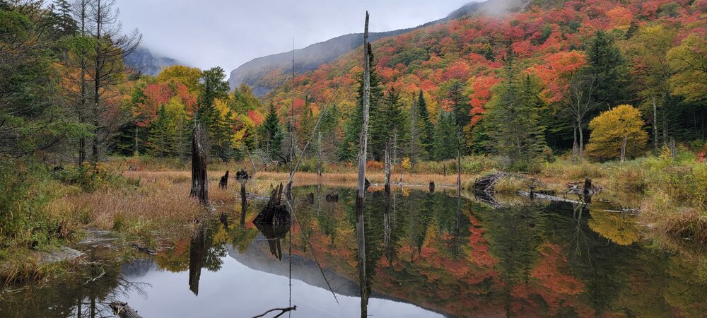
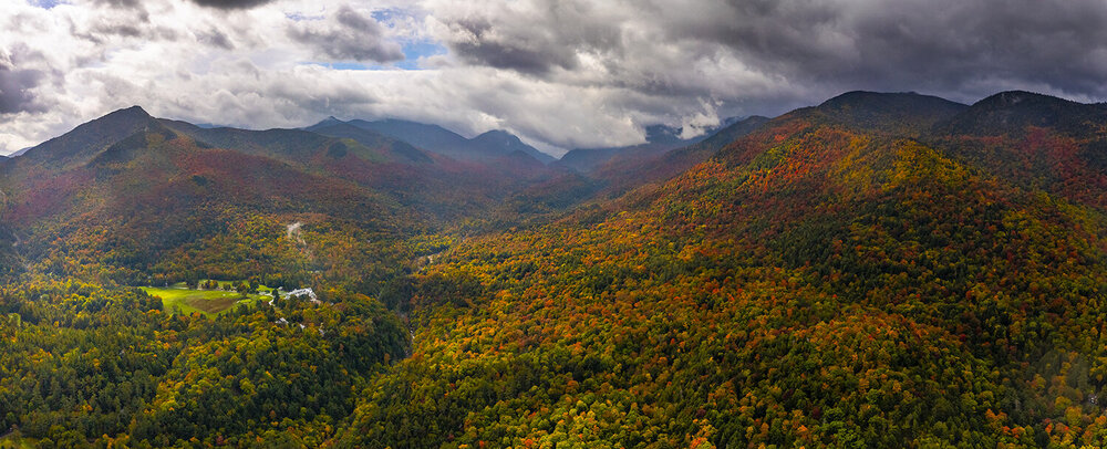
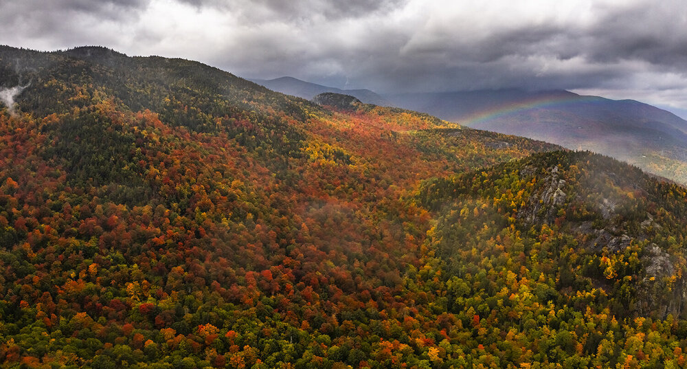
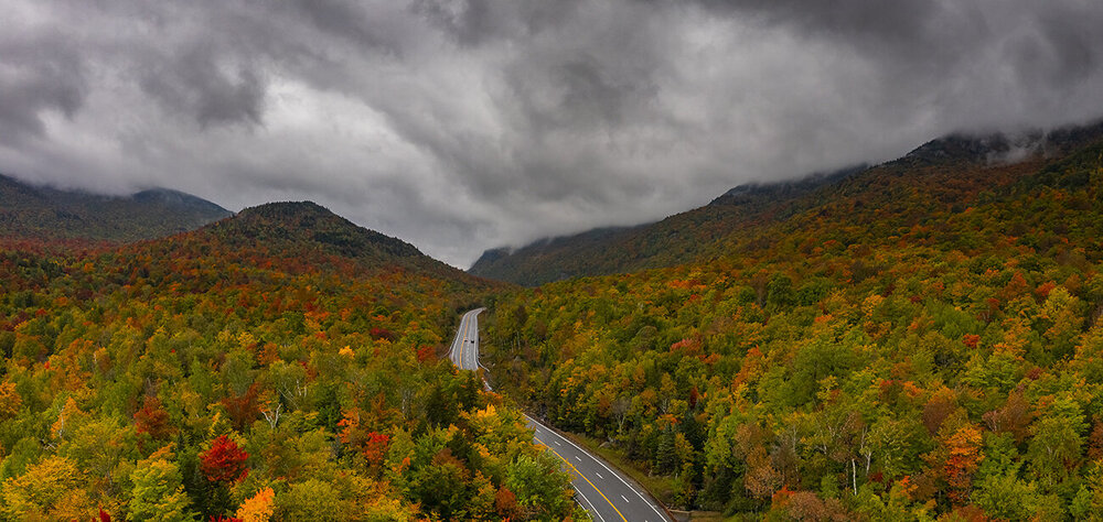
High res versions of the shots I posted are here: https://flic.kr/s/aHsmWV8caP and forky need not worry. I have a reflection shot in the ground pics. I will note viewing in hi res makes a huge difference.
- 235 replies
-
- leaf peapers
- crisp autumn nights
- (and 3 more)
-
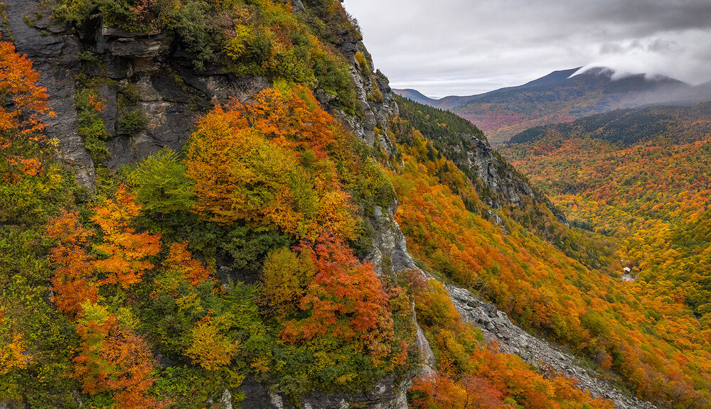
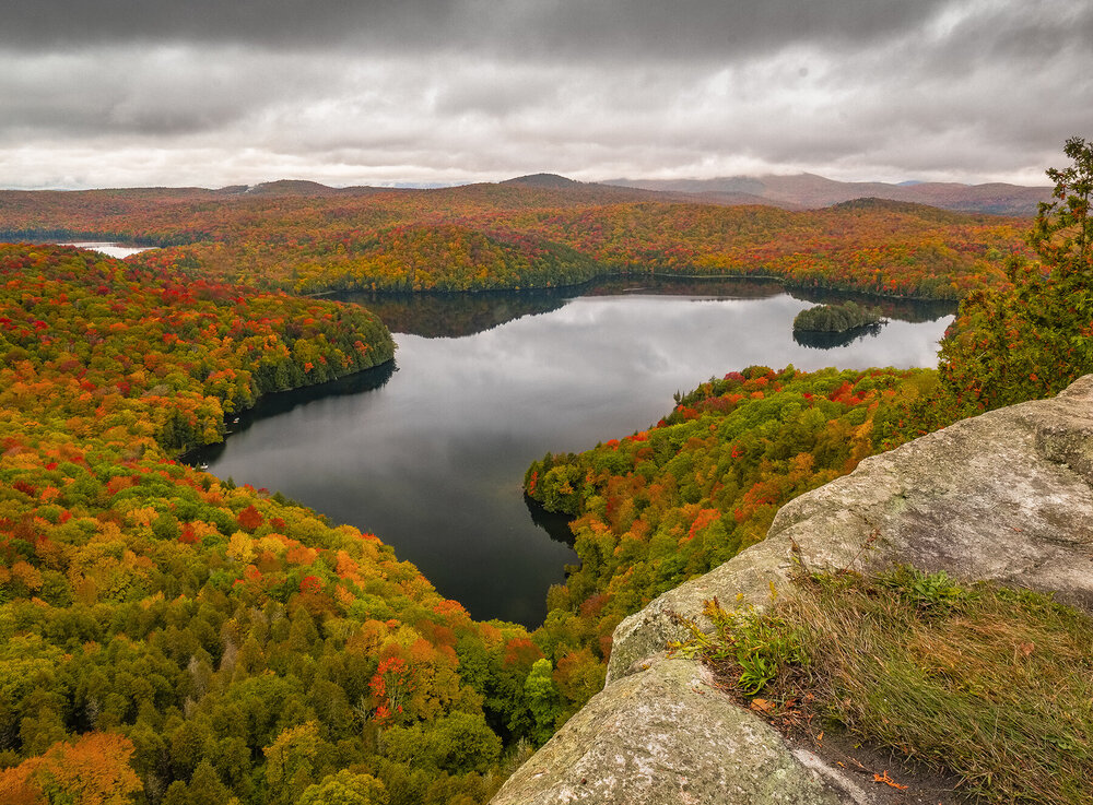
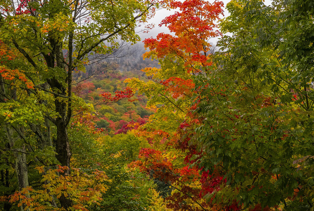
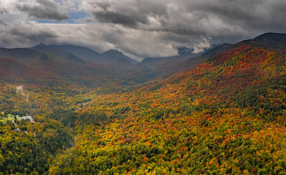
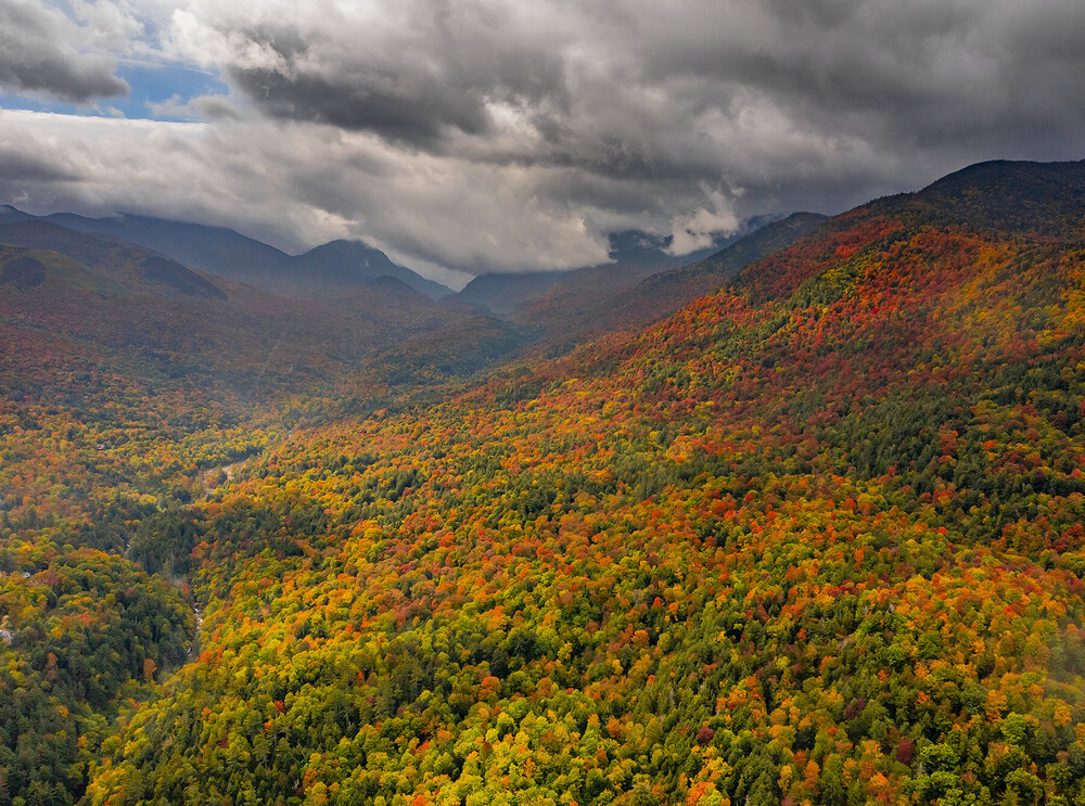
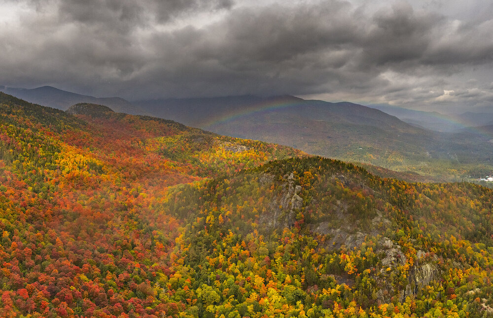
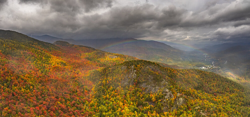
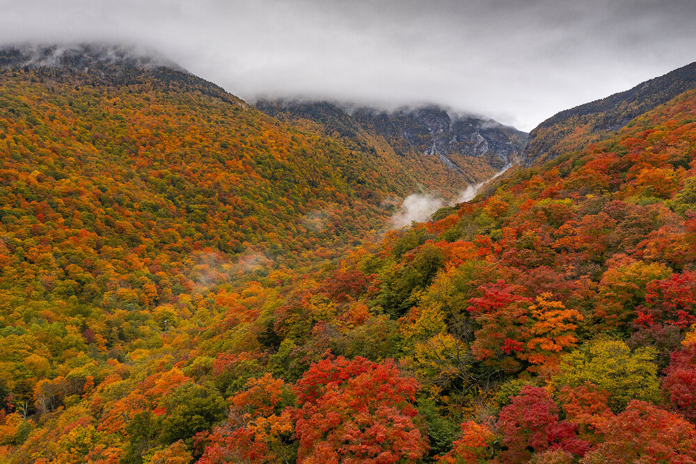
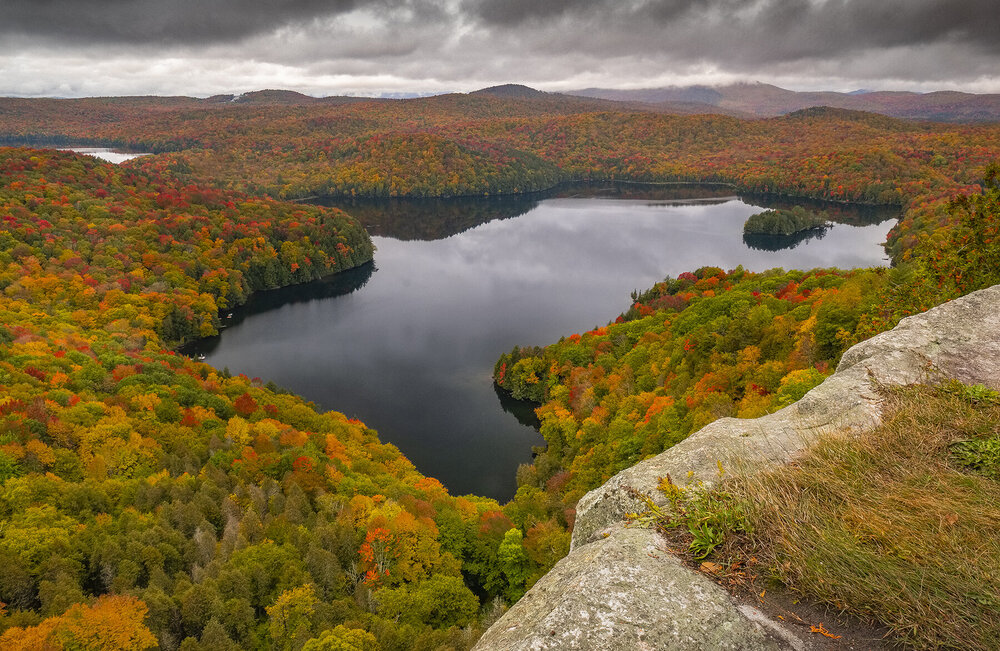
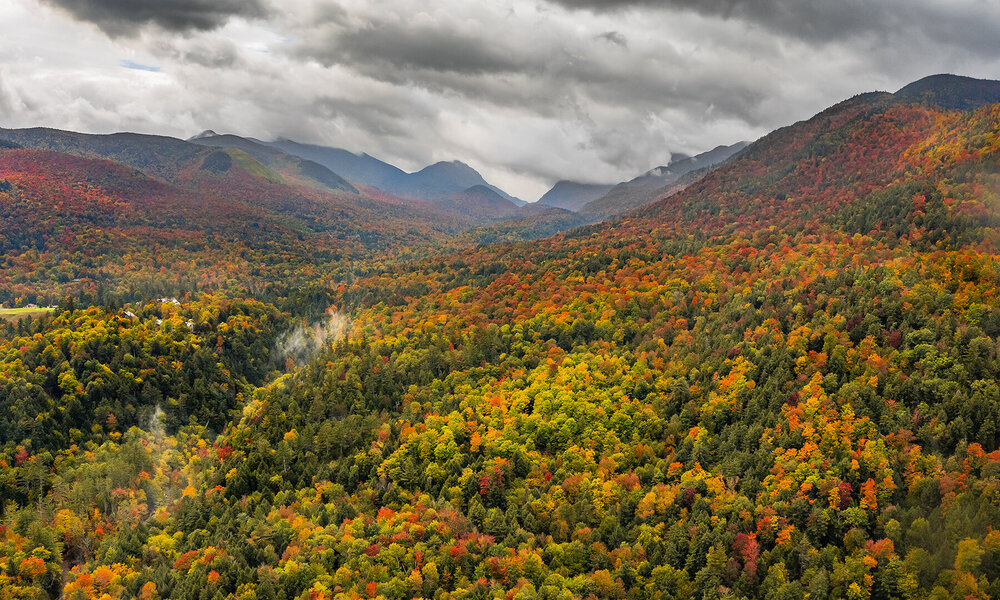
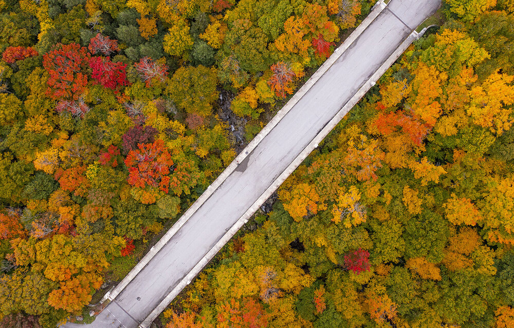
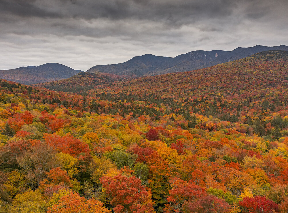
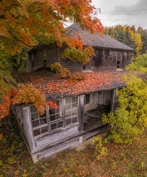
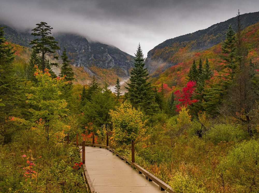
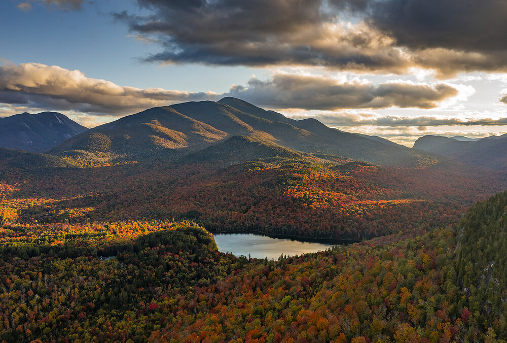
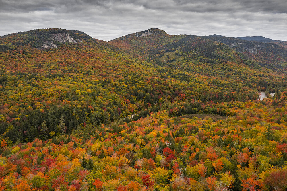
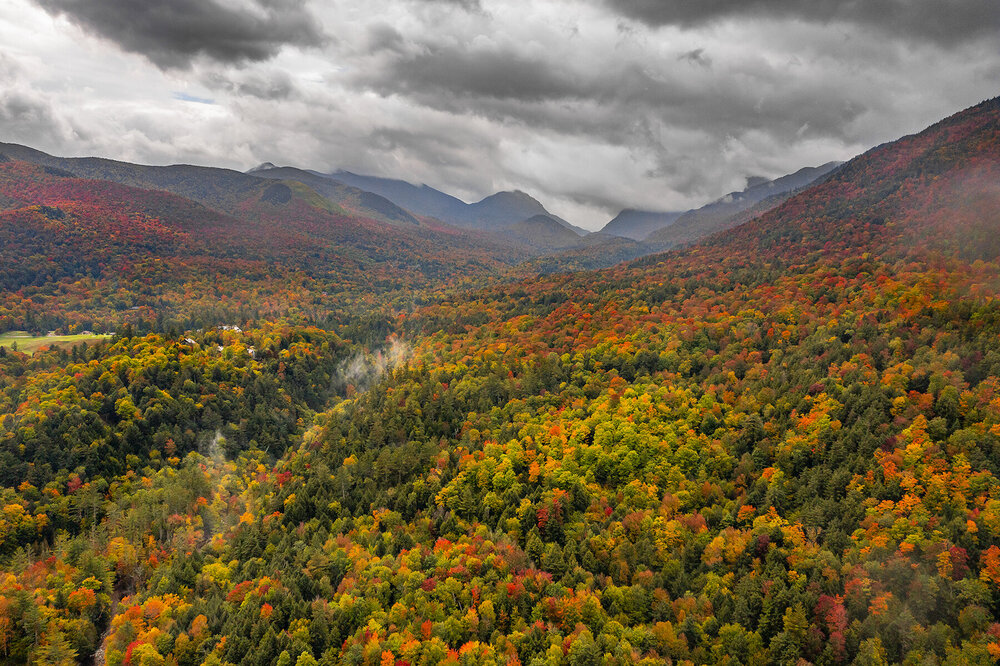
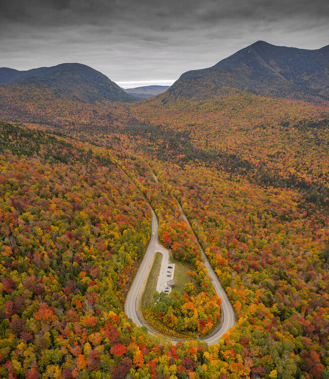
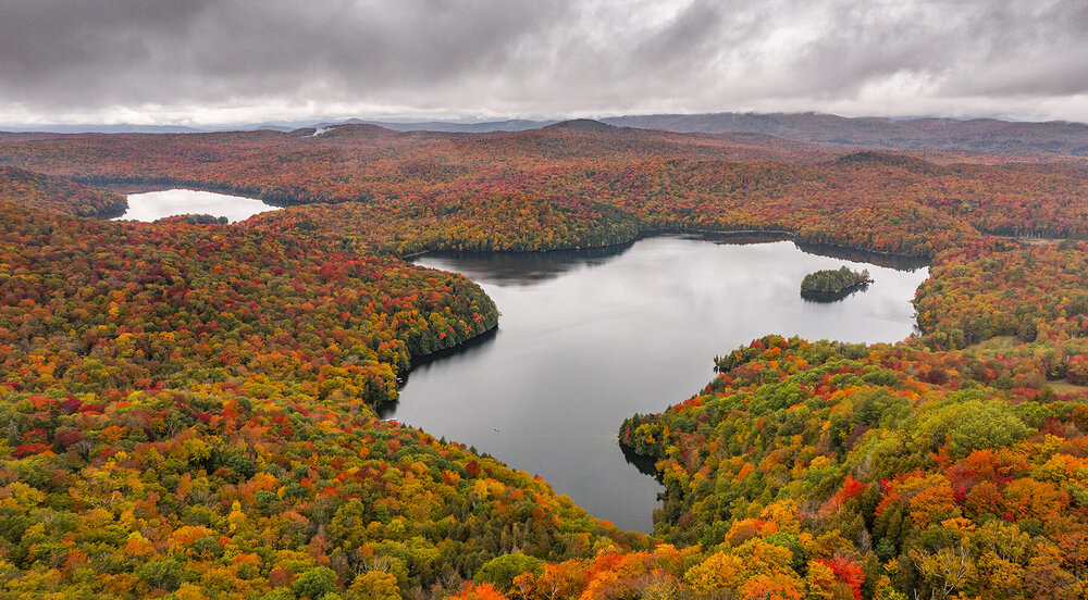
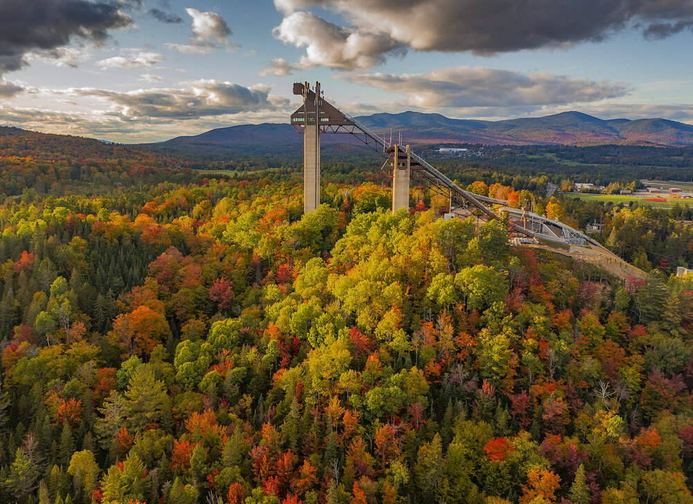
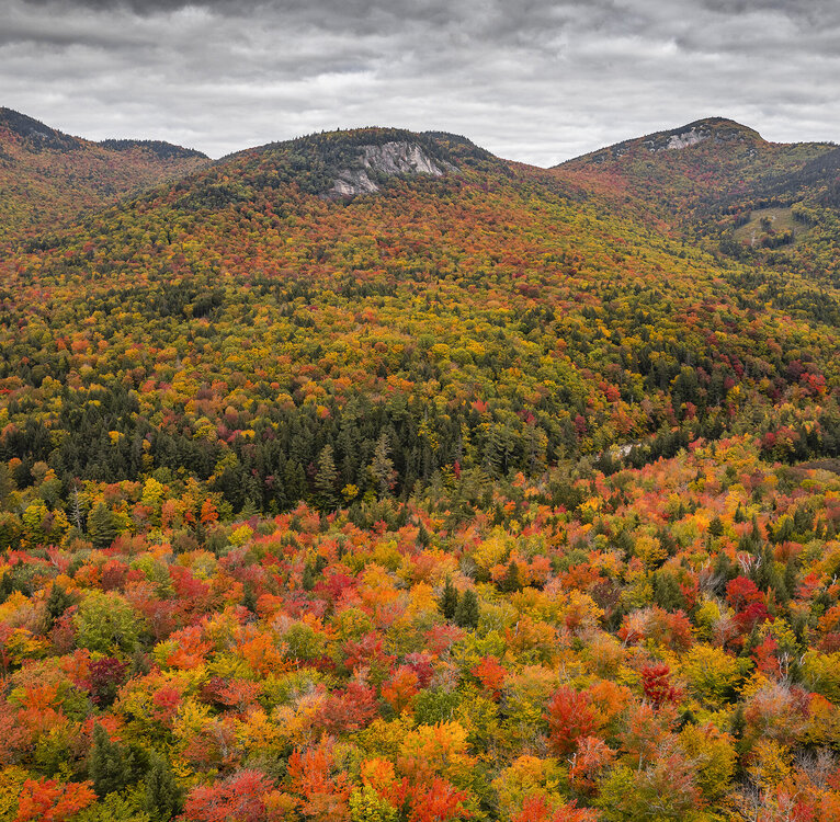
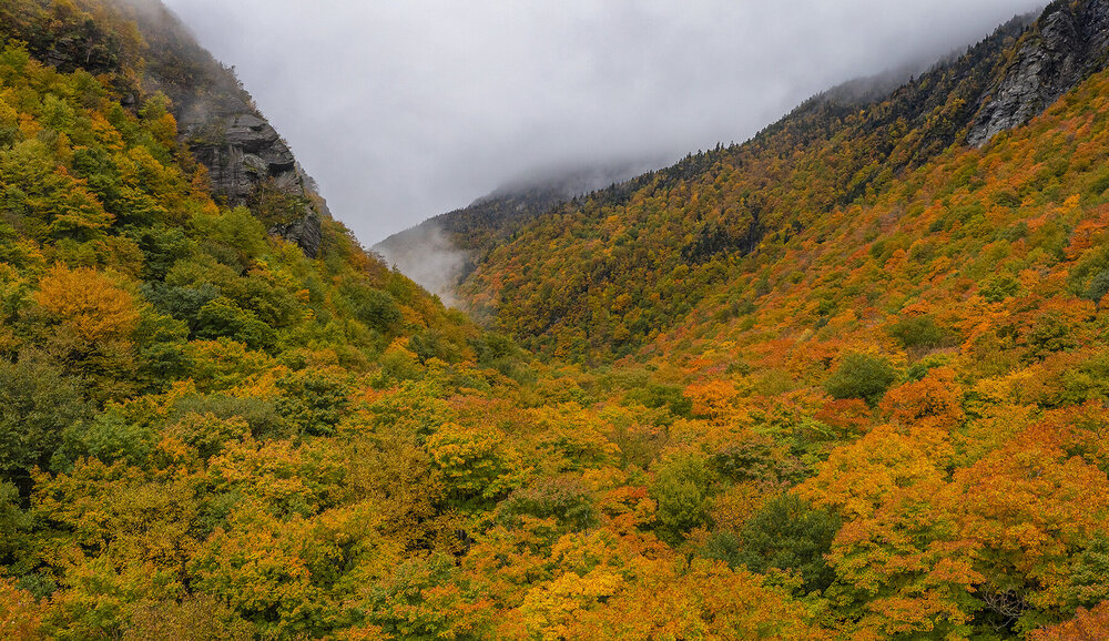
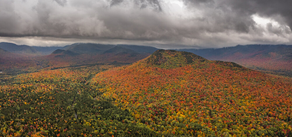
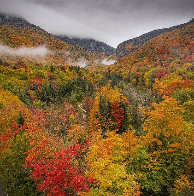
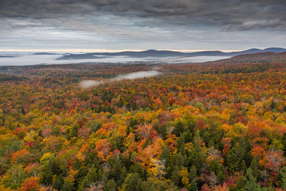
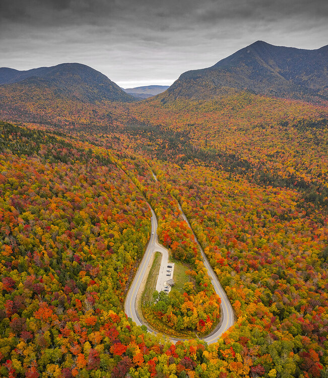
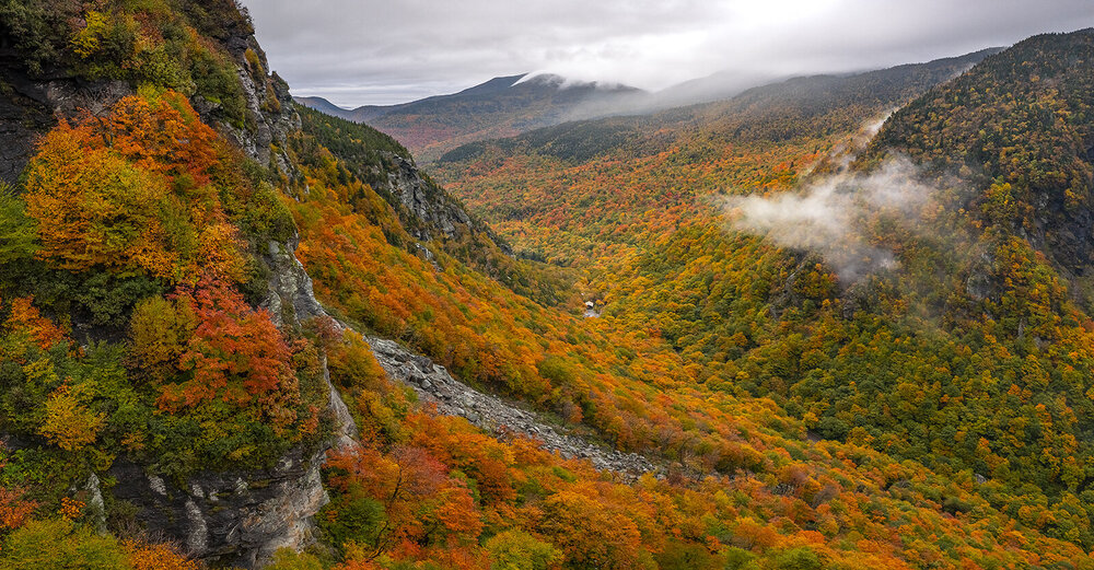
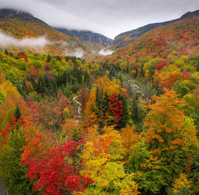
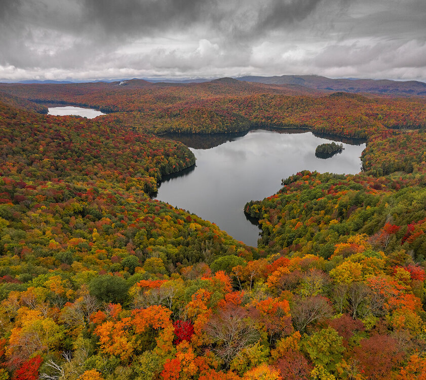
Thank you for the compliments. Just finished up with the drone shots from the ADK's, VT, and NH. Ground shots will be next. Click for a larger view on each. What a trip!
- 235 replies
-
- 13
-

-
- leaf peapers
- crisp autumn nights
- (and 3 more)
-
An interesting note. Chrome displays these photos correctly for me. Firefox seems to overdo the color adjustments.
- 235 replies
-
- leaf peapers
- crisp autumn nights
- (and 3 more)
-
- 235 replies
-
- 10
-

-
- leaf peapers
- crisp autumn nights
- (and 3 more)
-
I can't wait to get home and share a lot more I took on the trip from the ADKs to VT to the Kanc.
- 235 replies
-
- 1
-

-
- leaf peapers
- crisp autumn nights
- (and 3 more)
-
Thank you and yeah I think this is my top one for this season! It is 2 or 3 frames stitched together.
- 235 replies
-
- 1
-

-
- leaf peapers
- crisp autumn nights
- (and 3 more)
-
- 235 replies
-
- 6
-

-
- leaf peapers
- crisp autumn nights
- (and 3 more)
-
Hit Smugglers Notch and Nichols Pond before heading through the NEK. Definitely near peak to peak throughout these areas. No way to stop for photos but absolute fire north of St. Johnsbury on I-91.
- 235 replies
-
- leaf peapers
- crisp autumn nights
- (and 3 more)
-
- 235 replies
-
- 8
-

-

-
- leaf peapers
- crisp autumn nights
- (and 3 more)
-
Going to be seeing friends in the BTV area today and tomorrow. Will probably hit the notch on Tuesday.
- 235 replies
-
- leaf peapers
- crisp autumn nights
- (and 3 more)
-
- 235 replies
-
- 3
-

-
- leaf peapers
- crisp autumn nights
- (and 3 more)
-
- 235 replies
-
- 5
-

-
- leaf peapers
- crisp autumn nights
- (and 3 more)
-
It is! I have been here on the same dates in 3 different years and definitely near peak at heart lake.
- 235 replies
-
- leaf peapers
- crisp autumn nights
- (and 3 more)
-
A couple of Instagram shots from quick edits of yesterday: https://www.instagram.com/p/CUglRI5MSuN/?utm_medium=copy_link https://www.instagram.com/p/CUhfv-8LiFe/?utm_medium=copy_link
- 235 replies
-
- 1
-

-
- leaf peapers
- crisp autumn nights
- (and 3 more)
-
We are in Lake Placid and it is interesting this year. The Cascade Mountain area has almost no change by the lakes (very late) but it is closing in on peak around Heart Lake as expected.
- 235 replies
-
- 1
-

-
- leaf peapers
- crisp autumn nights
- (and 3 more)

