

AlexD1990
-
Posts
677 -
Joined
-
Last visited
Content Type
Profiles
Blogs
Forums
American Weather
Media Demo
Store
Gallery
Posts posted by AlexD1990
-
-
*lives in the mid Atlantic forum*Really don't understand the confusion. I thought this was the mid-atlantic forum... not the lower mid-atlantic forum. Maybe it is just me? Judging from the models and climo I would say that the vast majority of people in the mid-atlantic forum will not see much... if anything. Hence my comment "grasping at straws".
*still has a chance of seeing accumulating snow*
Sent from my SM-F711U using Tapatalk
-
 1
1
-
 1
1
-
-
That's just plain tastyWoah- RGEM - coastal De may have a shot
Sent from my SM-F711U using Tapatalk
-
Ever. LolNo thread. Lol
Sent from my SM-F711U using Tapatalk
-
1
-
-
Let's hope this sneaks back up on people. I would love nothing more
Sent from my SM-F711U using Tapatalk-
2
-
-
And the AVN....NGM...God. The ETA.
Sent from my SM-F711U using Tapatalk
-
1
-
 1
1
-
-
How do we end up too far north

Sent from my SM-F711U using Tapatalk -
I might be fringed
 now I know how @psuhoffman feels
Sent from my SM-F711U using Tapatalk -
I'm going to be fringed
Sent from my SM-F711U using Tapatalk -
Do you still think our chances are decent?To be expected after the Mt. Everest of Euro runs last night. There was nowhere to go but down from that one.
Sent from my SM-G975U using Tapatalk
-
Lots of goom and doom in the main thread. Still feel like we get a respectable event out of this either way
Sent from my SM-G975U using Tapatalk -
Which means by the time this one gets here, we could be tracking another threat at D6....oh what heady times these could be!At end of run (Day 10) theres another storm developing coming out of Texas
Sent from my SM-G975U using Tapatalk
-
1
-
1
-
-
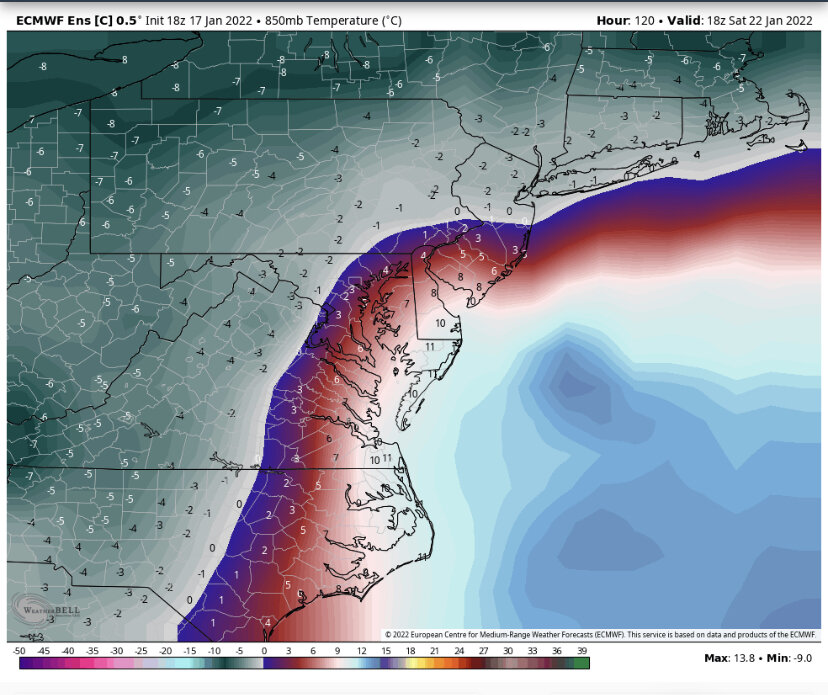
Seems like if those kind of totals were to verify, with low winds and radiational cooling somewhere in the sub would make a run at below 0 outside of the UHITemps on Monday 7am NUTS FROZEN TO DA PORCH
Sent from my SM-G998U using Tapatalk
Sent from my SM-G975U using Tapatalk
-
1
-
-
Tonight's euro seems close to ideal for the midshore Delmarva. They always say you have to smell the rain to get the best snow totals. This could be one where it's puking snow at my house in Lewes and rain in Salisbury or ocean cityThreat level gradually rising. Hoping it doesn't amplify *too* much at this point.
Sent from my SM-G975U using Tapatalk
-
Cold smoke....wow
Sent from my SM-G975U using Tapatalk-
2
-
-
We do lose the column on the control.

Sent from my SM-G975U using Tapatalk
-
Long week of tracking ahead. Progressive flow is gonna continue to wreak havoc with NWP....hopefully we can get a handle on the weekend by Wednesday. Don't really care about the midweek event, it would seem to be stealing energy from this storm as currently modeled.
Sent from my SM-G975U using Tapatalk -
That's a very impressive ensemble mean. Must be very few misses in the individual members
Sent from my SM-G975U using Tapatalk -
.Wow

Sent from my SM-G975U using Tapatalk
-
1
-
1
-
-
That's not funny.Another Harrisburg Hauler on tap?
Sent from my SM-G975U using Tapatalk
-
1
-
1
-
-
Talk dirty to me.Feeling better about this Friday. Not quite there yet, but it's trending towards being a southern slider. Plenty of cold air around and if it comes in more amped/better timed, we cash in. If not, it's out to sea. But regardless, we don't end up with a slopfest or cold rain. All guidance trended better on the 00z. Another day of that and we'll be inside the D4 window and I'd be ready to get excited.
Always encouraging when you stop into the thread and post!
Sent from my SM-G975U using Tapatalk
-
That's why snow showers are showing up in my forecast for that dayWeeeeeeeee!
Sent from my SM-G975U using Tapatalk
-
.Alex, make it so
Sent from my SM-G975U using Tapatalk
-
1
-
-
You and I abscondCMC and Euro ens look pretty good for a light/moderate event next weekend. As advertised the higher probs would be just south and towards the coast. This will likely change some.
Sent from my SM-G975U using Tapatalk
-
1
-
-
Maybe Friday....rest of the sub doesn't care too much, which is usually good for us
Sent from my SM-G975U using Tapatalk
Late January and February Medium/Long Range Discussion
in Mid Atlantic
Posted
Are we talking about winter storms or German composers?
Sent from my SM-F711U using Tapatalk