-
Posts
3,721 -
Joined
-
Last visited
Content Type
Profiles
Blogs
Forums
American Weather
Media Demo
Store
Gallery
Posts posted by HillsdaleMIWeather
-
-
2 hours ago, michsnowfreak said:
Wow...in Hillsdale?
Yep, got 2 inches OTG
-
 1
1
-
-
Absolutely puking snow here rn
-
 1
1
-
-
IWX also confirmed two fairly long trackers that went from Stueben County into Branch County MI. If warm front had gotten further north there'd have been way more tornadoes.
-
 1
1
-
-
With a slightly more unstable environment yesterday could have been even worse, we dodged a big bullet locally
-
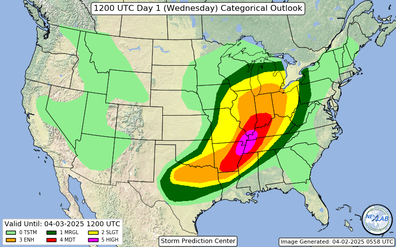
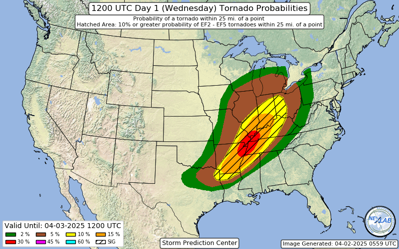
Surprise high risk for down south
-
Went about 14 hours without power, storm knocked out the main transmission line to Branch and Hillsdale counties.
-
-
7 minutes ago, SolidIcewx said:
Im thinking the same thing. Kinda odd considering the MD that came out for the area
Have a tornado warned storm moving my way and they haven't even done a local watch extension. Makes no sense.
-
 1
1
-
-
Weird watch gap for NW Ohio/SE Michigan rn, you'd think they'd wanna hurry and issue one considering the storms are like less than an hour out
-
 1
1
-
 1
1
-
-
Enhanced expanded again
-
24 minutes ago, RCNYILWX said:
Might see about chasing (for the first time since 2016) since I won't be called into work after working 7 shifts in a row.
If we get the rare "A national weather service employee reported a tornado" in a warning text we'll know it's you o7
-
 5
5
-
-
Genuinely was not expecting to get a watch tonight
-
Strong tornado near Cushman
-
Cycled again, massive cc drop
-
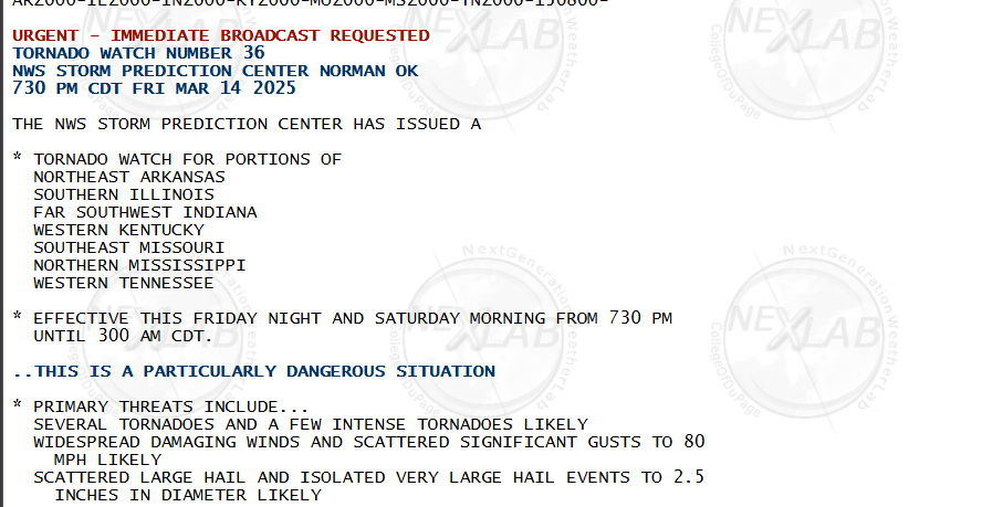
First PDS watch
-
Things seem to be progressing according to modeling so far, the nighttime timing of the tornadoes tonight is gonna make search and rescue if necessary a pain
-
Day 2 high risk coming in 10 mins
-
 1
1
-
-


Lets get the ball rolling.
-
Next Saturday could be interesting severe wise if everything comes together, GFS has a monster of an MCS from Michigan to the Gulf of Mexico
-
 1
1
-
-
What a comfy rainy morning

-
Some potential around 144 hours if that massive cyclone keeps shifting west
-
The Stormtrack Discord which is ran by conservative Mets shut down discussion on the nws mets getting fired
Something something wokeness
-
 1
1
-
 1
1
-
 1
1
-
-
The rain this morning decided to be graupel instead, roads went from fine to slick immediately
-

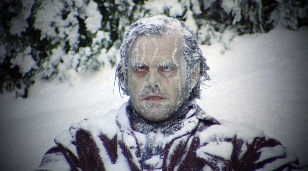


Fall/Winter '24 Banter and Complaints Go Here
in Lakes/Ohio Valley
Posted
The fact yesterday ended up not having much severe in most of the slight risk (except for that hail that survived from the day befores storms out west) makes me think that the SPC really needs to stop doing these giant day 4-8 slight risks for marginal events.