

HillsdaleMIWeather
-
Posts
3,721 -
Joined
-
Last visited
Content Type
Profiles
Blogs
Forums
American Weather
Media Demo
Store
Gallery
Posts posted by HillsdaleMIWeather
-
-
Iowa Derecho 2.0
-
 1
1
-
 1
1
-
-
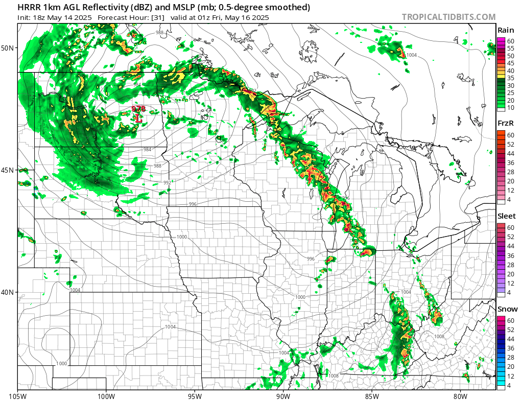
Some people not really expecting severe weather could get quite a surprise if the Derecho keeps up steam
-
??? to grr
-
Sunny as can be and muggy here
Got the feeling
-
 1
1
-
-
Wind driven enhanced introduced, could see a 10% TOR getting added if the nastier solutions look more likely
-
2
-
-
At this rate I don't think locally we're getting anywhere near 90 before the 4th of July
-
I think that watch we had today might go down as one of the least severe producing ones we've had locally in years
-
1
-
-
The two for one of smoke and fog this morning made outside my place look like Silent Hill
-
3
-
-
Was looking back at the warnings issued back during the 1998 Derecho for the anniversary and man it's kinda crazy to see they issued no tornado warnings and the SVRs only mentioned 70 or 80mph winds while 120+ mph gusts were ongoing. Shows how far we've come with warnings.
-
1
-
-
Why do I have a feeling we're gonna pay for this cool weather somewhere down the road?
-
IWX just issued there first Blowing Dust Advisory ever
-
GRR has confirmed multiple long track albeit weak tornadoes
-
-
IWX is claiming on Facebook they included Hillsdale in the watch but didn't
Looks like someone made an oopsie
-
-
Some new cells are going up just south of South Bend, might be interesting if they can stay ahead of the line
-
Looks like me and @Harry Perrymight end up getting nothing
-
Might end up getting nothing from the CAP here
-
That new tornado watch not including Branch Hillsdale or any of DTX is a... choice
-
all it's gonna take is one supercell popping ahead of the line for southern MI or Northern Indiana to get smoked in this environment
-
1
-
-
Enhanced risk expanded slightly south and further east to Detroit, 30% sig wind introduced over Northern Indiana and Southern Michigan. They're expecting mature supercell's ahead of the line so some areas could have a tornado threat and then damaging wind right behind it
-
3
-
-
The little bit of fog this morning has a forboding feeling here
-
That supercell takes basically the same track as the Palm Sunday F4s, eerie.

-
Large Enhanced now, but with the caveat of the event either being boom or bust

Late June 2025 Heat Wave
in Lakes/Ohio Valley
Posted
And this ladies and gentlemen is what we call "tempting fate"