NEOH
-
Posts
3,366 -
Joined
-
Last visited
Content Type
Profiles
Blogs
Forums
American Weather
Media Demo
Store
Gallery
Everything posted by NEOH
-
I was kind of hoping CLE would break into the top ten least snowiest. Hard to say but CLE will probably finish in the 35" range I'd imagine. Here's a look at the past few years snowfall at CLE - 2017/2018 - 53.1" 2016/2017 - 37.3" 2015/2016 - 32.8" 2014/2015 - 67.1" (almost normal) 2013/2014 - 86.1" (the last time CLE was above normal) Obviously we've had much more snow out here in the snowbelt... but 5 straight seasons of below normal snowfall at CLE is a bad stretch.
-
Well that was a nice surprise. Must have been very intense as it didn't look like is lasted long on radar.
-
Just a bad pattern and some back luck for northeast ohio. WNY and PA have done pretty well. Erie has had average snowfall for the year, and BUF has a +32" snowfall departure.
-
Oh yeah, definitely not bad as this year out this way (would have been bad without March). I was going by CLE's snowfall totals. CLE hasn't had an average or above year since 2013/2014. That's a pretty long stretch of below normal snowfall.
-
It has been an awful winter to say the least. Back to back ratters. And here I thought last year was bad! You would think that CLE would have to hit climo at some point. No where to go but up. One thing we can do without is a cold fall that rapidly cools the lake. November put a dagger in our LES hopes.
-
Thanks for dropping in. Yeah, too bad the euro op is an outlier. The other models show more of a weak low riding the front off to the NE. Given the way this winter has gone whatever solution is least favorable for snow in Ohio is what will likely verify.
-
Well, the 12z euro continues to tease Ohioans with a decent storm. Precip actually improved over last nights run.
-
Looks like CLE will finish Feb in the +2 temp range for the month. Current snowfall departure is -22" for the season. And look what appeared on last nights euro run... just need it to hold another 4 days .

-
Reading through some of the recent "long range" forecasts it sounds like we have a couple of normal/cool shots coming then an abrupt shift to Spring in mid-March.
-
Less than an inch so far. The precip is just falling apart so we probably won't exceed an inch.
-
Once of the worst in recent memory. This will probably be the lowest snowfall I've received since moving out to South Russell 6 years ago. I've moved on to Spring. Hoping the weather breaks mid-March with warm and dry weather.
-
Snowing light to moderately at times. Looks like the precip shield is taking a hard right turn and drying up quickly to the west. An inch might do it here.
-
Yeah... the theme of this awful winter continues. Not sure how much snow we will see... I think 2" is a safe bet. But we've been burned many times underestimating WAA. It got down to 3 imby this morning. I wasn't expecting temps that cold. CLE only got down to 12 last night. We are consistently 5-10 degrees colder with overnight lows than CLE.
-
Let's see if our streak of rain within 48 hours of a snowfall continues this winter... Looks like it might at this point. Once again the heaviest snow went north of us last night. Only about 1.5" IMBY. Lake effect seems to picking now surprisingly. Have a had a couple of decent bursts at home.
-
Take care and good luck to you!
-
CLE calling for 1-2” tomorrow. Probably reasonable given waa always over performs around here. Pretty sad this is what we have to look forward to.
-
Just a coating overnight. I didn't realize that 5" was in the point forecast. I'm not sure the winds come around off of the lake before the moisture pulls away.
-
Woke up at 5am with a temp of 32.1/31. Glaze of ice on the driveway and a little on trees. Temp is now at 34/31 with moderate rain. How many times have we had a snowfall this winter followed by rain 24-48 hours later?
-
The 12z nam goes against just about every other piece of guidance. Granted the higher totals are probably mixed precip.
-
Nice to see the snow again this morning. Every storm track drives the WTOD to the lakeshore. Hopefully that changes later this week. Snow, melt, rinse repeat.
-
CLE is +8.8 through 2/6, and that's with a -15 departure on 2/1. Amazing. Haven't we seen this movie before?! Yesterday was interesting as the central lakeshore was the only area to make it into the 50's. Western OH and NW PA stayed in the 30's all day. Would have been nice to push more of the warmth over the lake to melt some ice.
-
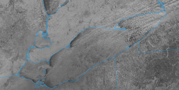
The glacier on the ground is pretty resilient. Can still walk over the top without going through in spots. Hopefully the remainder melts today. Definitely a Spring feel to the air yesterday and this morning.
-
CLE finished -0.2 for January. Considering how warm the month started that was a big turnaround. Not sure what to think about the long range. GFS and Euro are quite different for next week. Euro would be quite a mild week while the GFS is colder.
-
Yeah, its not the best layer of frozen precip on the ground for kids or dogs. Happy to see it go and start fresh. Plus, I've almost burned through most of my seasoned wood already. Let's torch the ice in yard on the lake and see what happens from here on out.
-
The little lake is done for awhile. What an amazing amount of ice growth in a short amount of time. Counting today, CLE will have had only 12 days in January with a high temp at or below 32.